Plizio Visual Lab
Mbengwi
ℹ️Practical info — Mbengwi
▾
🌤 Weather — 5 days
📍 Nearby
Sights nearby
💡 Tips
- The climate here is cooler due to the altitude; be sure to pack a light jacket.
- English is widely spoken in this region, making communication very easy.
- Roads can be extremely muddy during the rainy season; a 4x4 vehicle is highly recommended.
- Visit the local coffee and tea plantations early in the day for the best experience.
🍽 Food
A traditional yellow soup served in local eateries along the main street.
Freshly brewed in the small cafes surrounding the market area.
A popular snack found at street vendor stands throughout the town.
🛍 Shopping · 🧘 Quiet spots
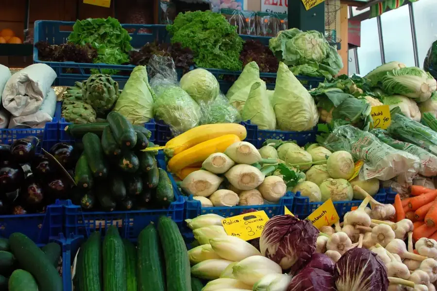
Buy these locally grown products fresh at the Mbengwi main market.
Find traditional bags and fabrics at the local craft stalls.
They offer excellent and quiet hiking trails just outside the town.
The local missions are peaceful and convenient for a moment of silence.
Water temperature…
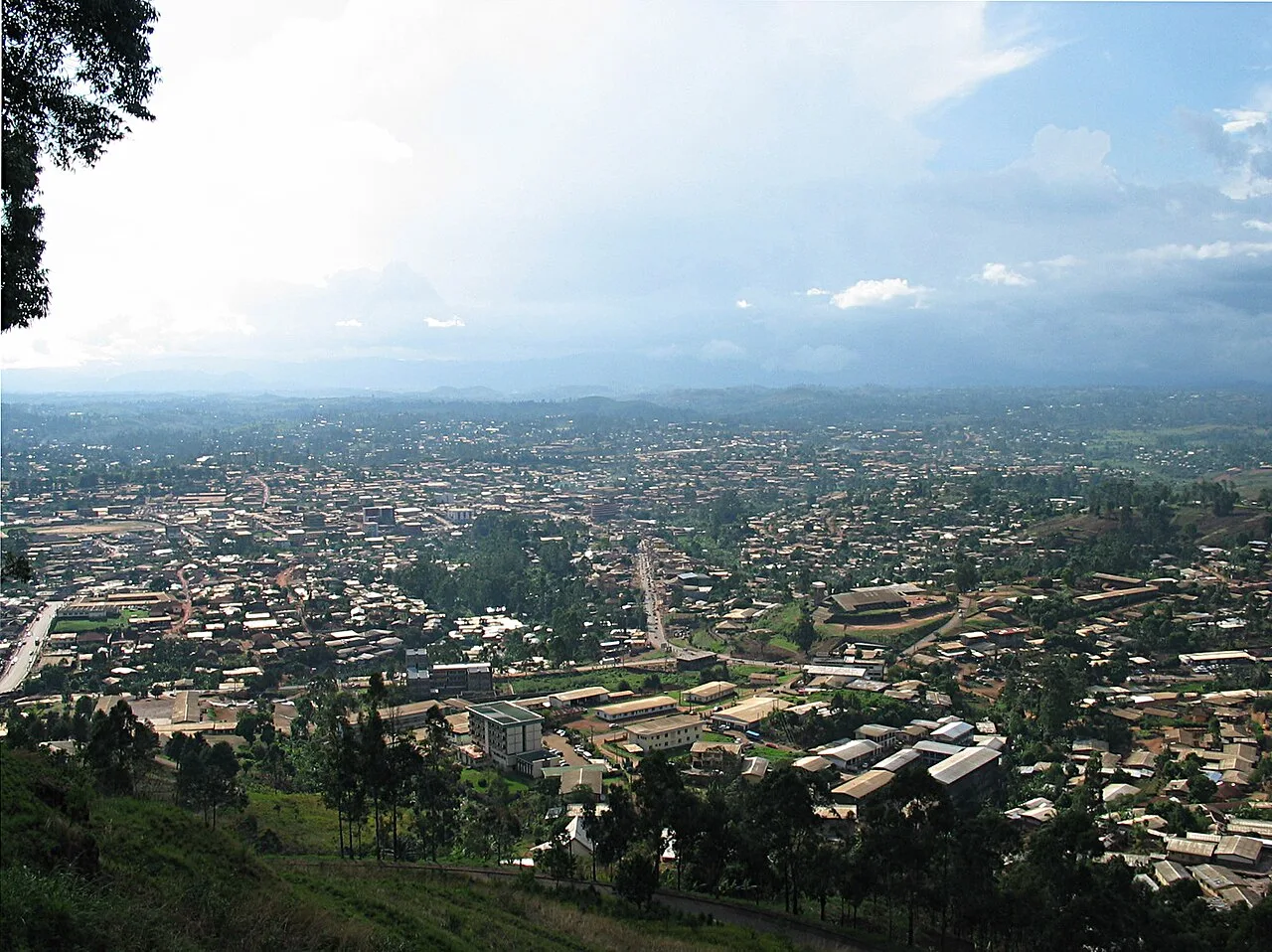
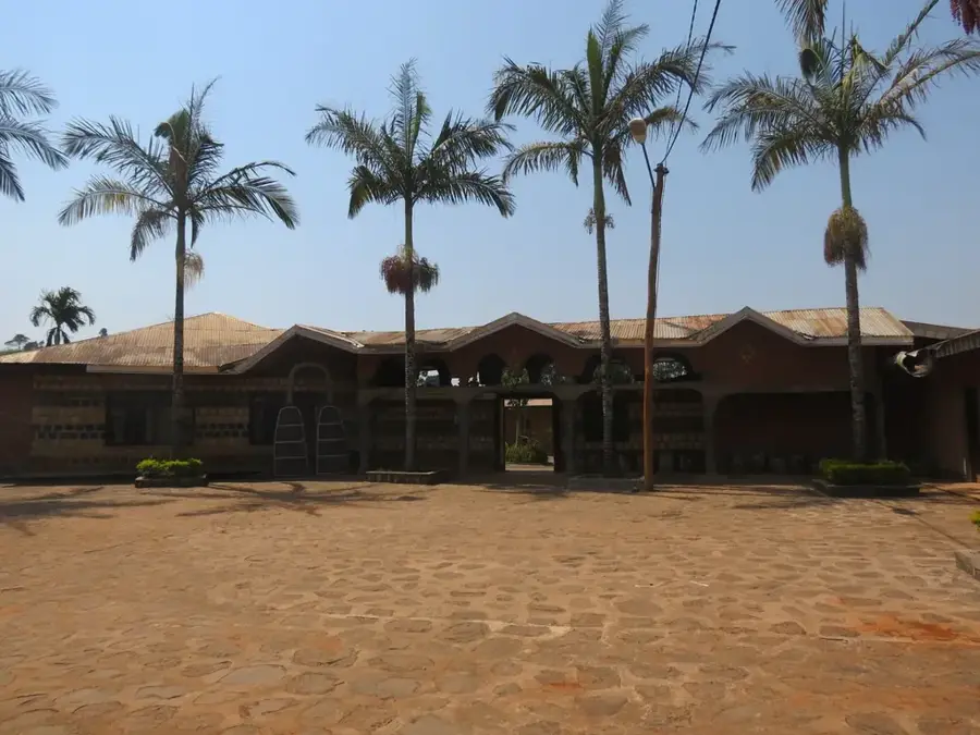
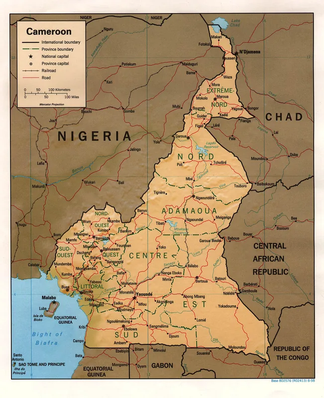
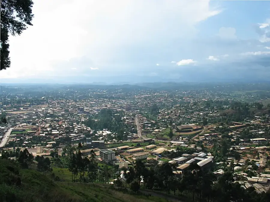
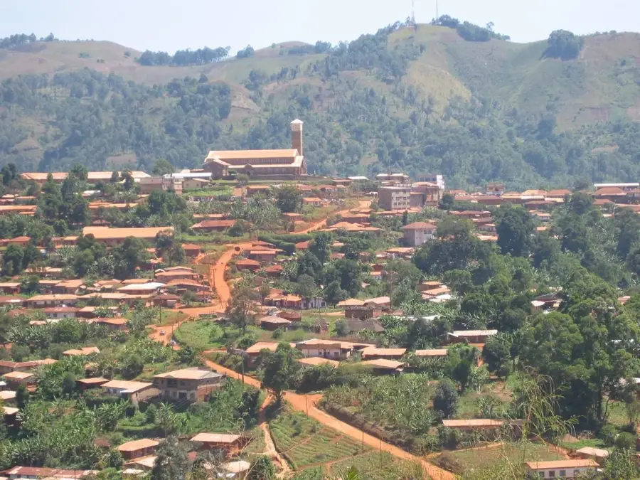
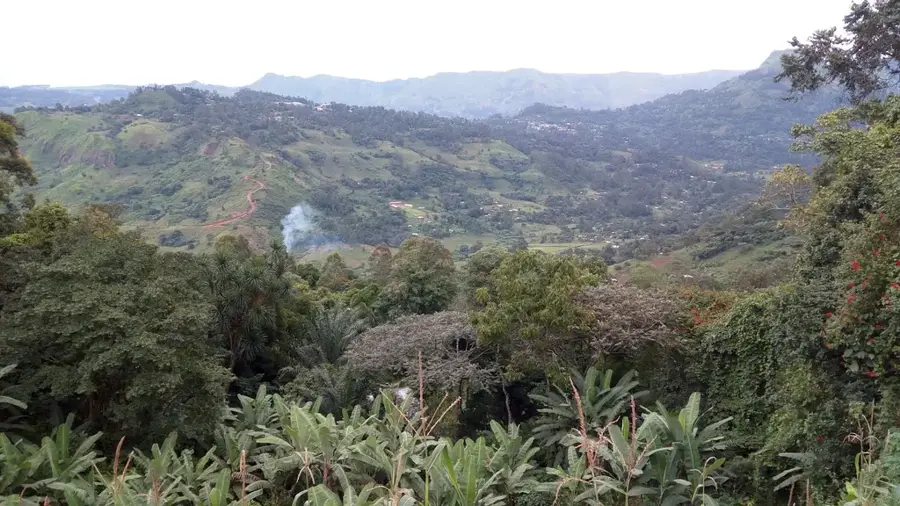
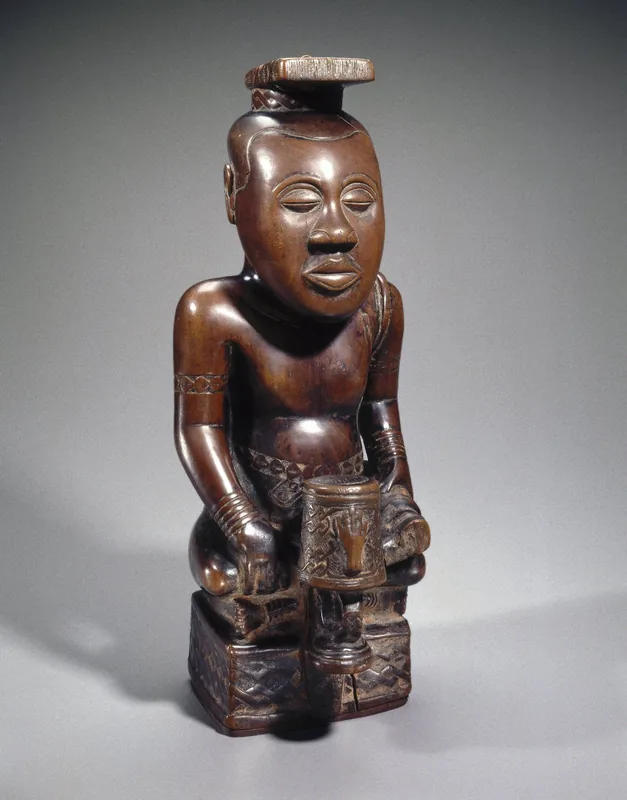
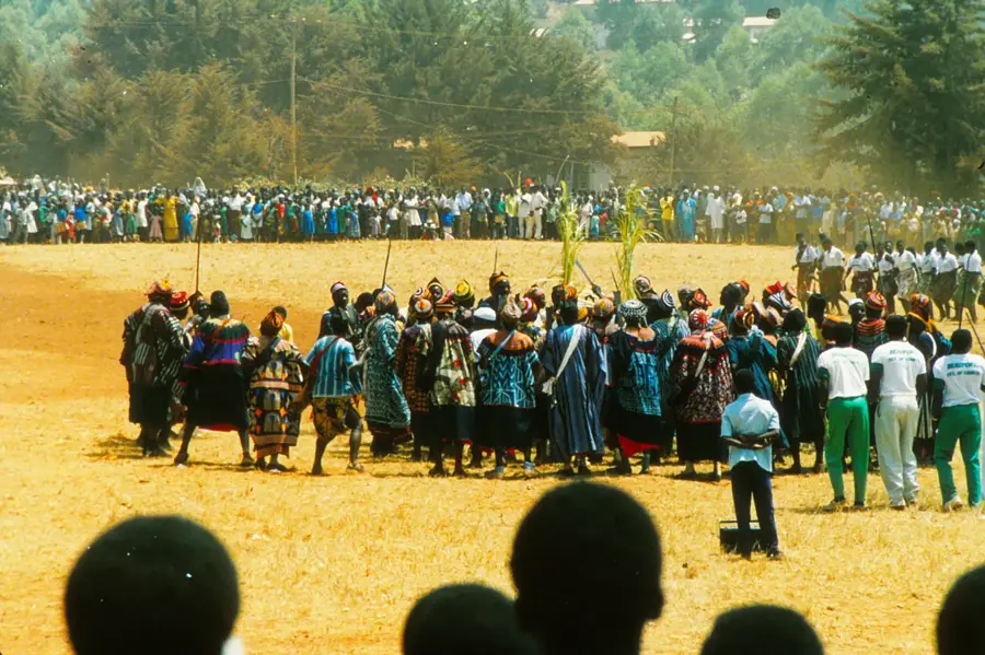
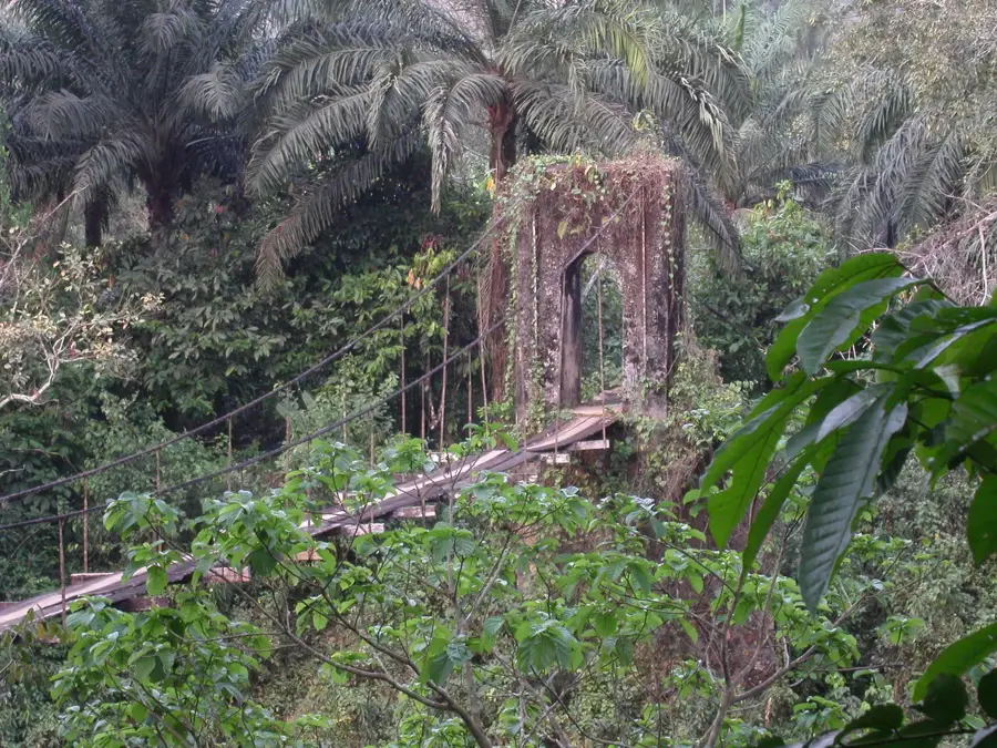
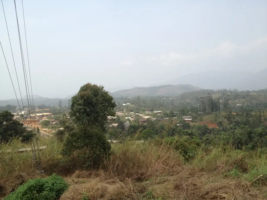
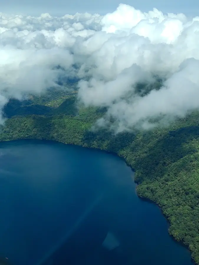
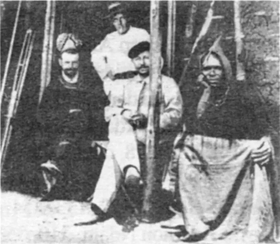
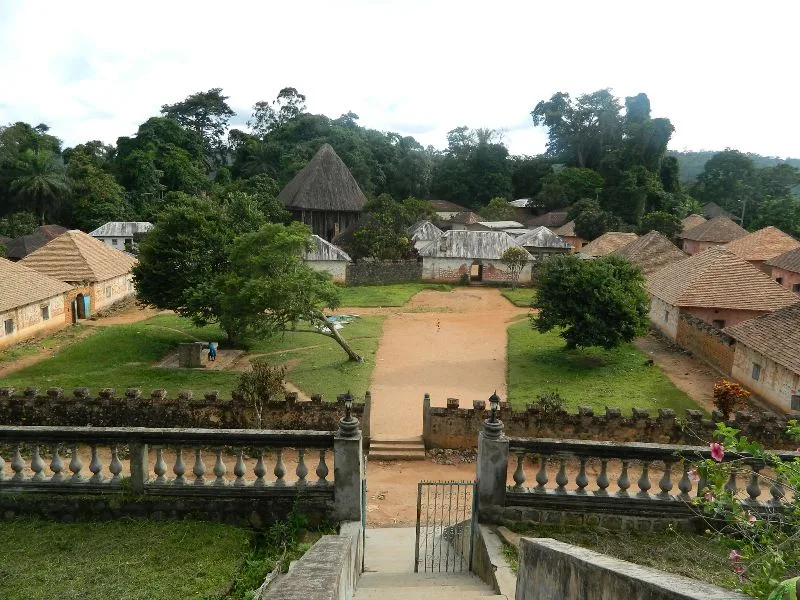
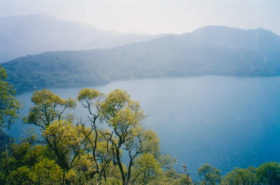
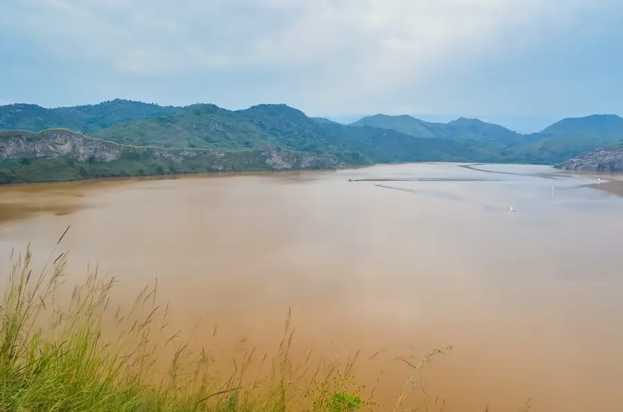
Mbengwi is the capital of Momo Division in the Anglophone Northwest Region and lies at about 1 100 metres elevation, some 50 kilometres west of Bamenda. Its roughly 35 000 inhabitants belong mostly to the Meta and Ngie peoples, known for their chieftaincies, traditional masked festivals and matrilineal inheritance system. The economy rests on coffee, maize, beans, cassava and a growing honey, mushroom and poultry industry. Mbengwi lies strategically close to the Nigerian border, making it an important market for cross-border trade. Highlights include the Meta chieftaincy, the Ngembu highlands with impressive waterfalls and the Mbengwi stadium that hosts regional sports events. The pleasantly mild mountain climate, with marked rainy and dry seasons, supports smallholder farming and intensive vegetable cultivation.
- Location: Cameroon
- Nearby: Batibo (20 km)
- Population: ~9.734 (2012)
Best time to visit & climate
The most pleasant time to visit is Jan, Feb, Dec.
| Jan | Feb | Mar | Apr | May | Jun | Jul | Aug | Sep | Oct | Nov | Dec | |
|---|---|---|---|---|---|---|---|---|---|---|---|---|
| Avg °C | 21 | 22 | 22 | 22 | 21 | 20 | 20 | 19 | 20 | 20 | 21 | 20 |
| Rain mm | 10 | 36 | 109 | 194 | 240 | 298 | 347 | 371 | 361 | 284 | 69 | 6 |
Geography
Facts
- Administrative capital of the Momo division.
- Key center for regional administration and education.
- Set in a picturesque, hilly landscape of the Northwest.
- Hub for local community life and agricultural trade.
- Important site for preserving local Northwest traditions.
- Fast-developing urban and social center.
Explore nearby
Notable places around
Route planner — Car & Motorhome
Where do you start? We build the route here, with stops and country notes along the way.
© OpenStreetMap contributors · OpenRouteService
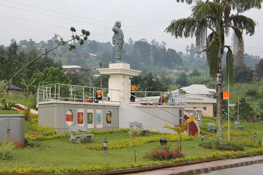
Sights in the town Mbengwi (1)
Frequently asked questions
What is Mbengwi?
When to travel?
What does the region offer?
How to get there?
Is it touristy?
Mbengwi: where is it located?
Mbengwi: when is the best time to visit?
Mbengwi: why is it worth visiting?

Nearby cities
History & landmarks
Nature
More places