Plizio Visual Lab
Bamenda
ℹ️Practical info — Bamenda
▾
🌤 Weather — 5 days
📍 Nearby
Sights nearby
💡 Tips
- Carry a light sweater or jacket, as Bamenda's highland location means evenings are much cooler than the rest of Cameroon.
- Shared taxis (clandos) are the easiest way to get around; agree on the fare before setting off.
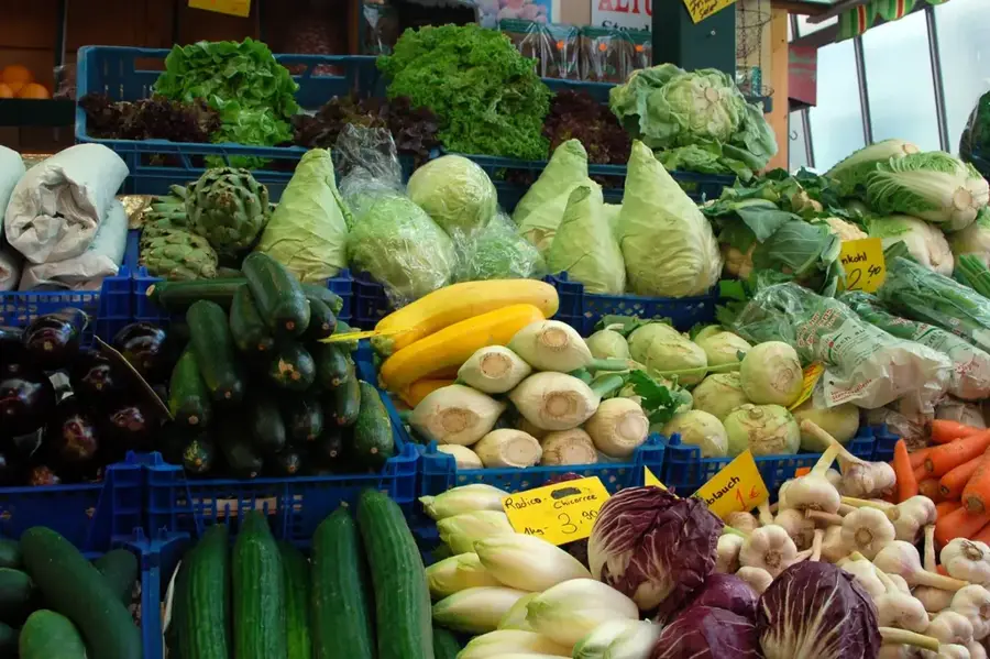
- Visit the bustling Bamenda Main Market early in the morning for the freshest produce and best bargaining.
- For a panoramic view of the city and surrounding hills, head up the escarpment road towards Up Station.
- Always carry some cash in small denominations for easier transactions in local shops and markets.
🍽 Food
A traditional local delicacy made with pounded cocoyam and a yellow palm oil soup. Try it in traditional restaurants around the commercial avenue.
A popular Cameroonian dish of bitter leaves, nuts, and fish or meat, widely available in local eateries.
Enjoy the abundant fresh pineapples, papayas, and bananas sold by street vendors across the city.
🛍 Shopping · 🧘 Quiet spots
The vast central market where you can find everything from colorful fabrics to local handicrafts.
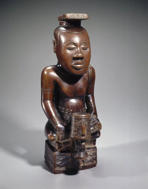
Look for local artisan shops selling intricately carved wooden masks and traditional grassfields pottery.
Take a quiet walk along the roads of the upper town for peaceful surroundings and excellent views over the valley.
Relax under the large shade trees in the less busy areas near the regional government buildings.
Water temperature…
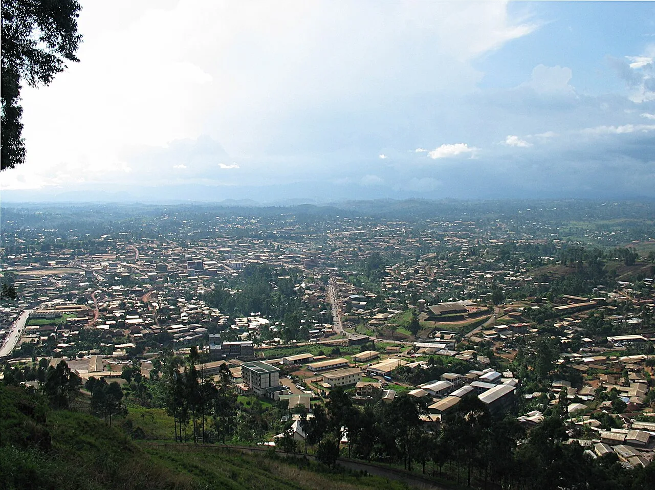
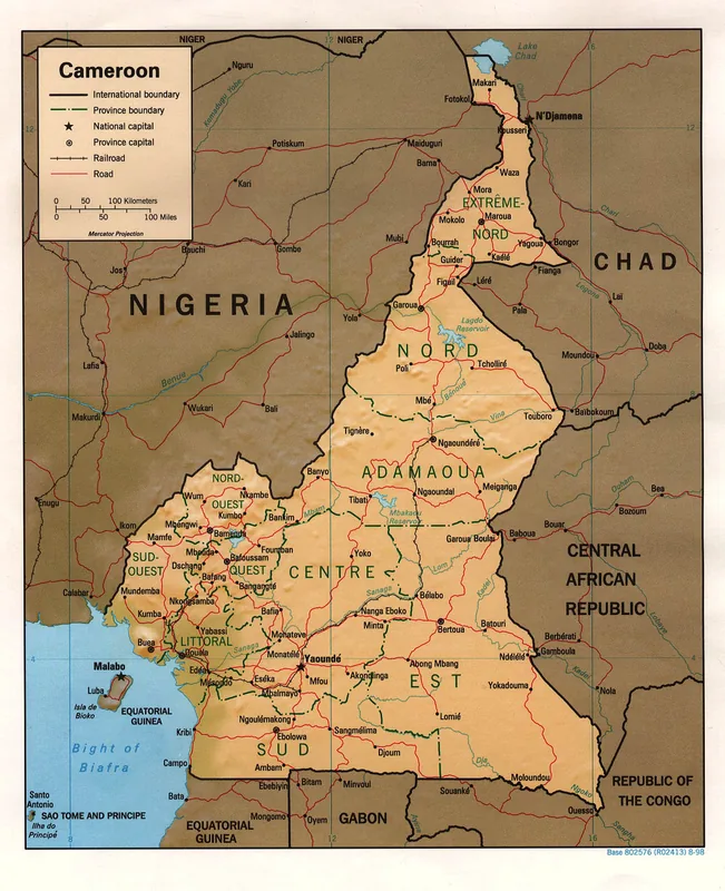
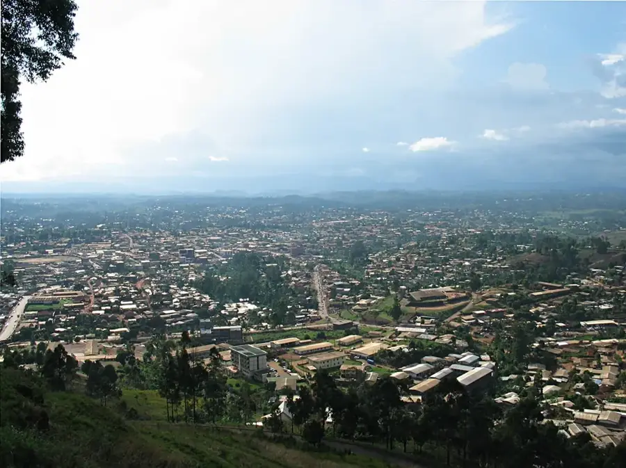
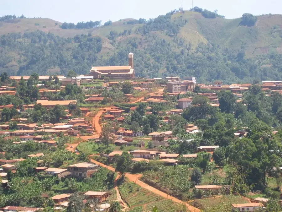
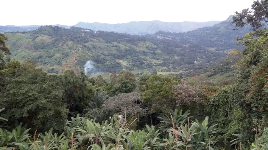
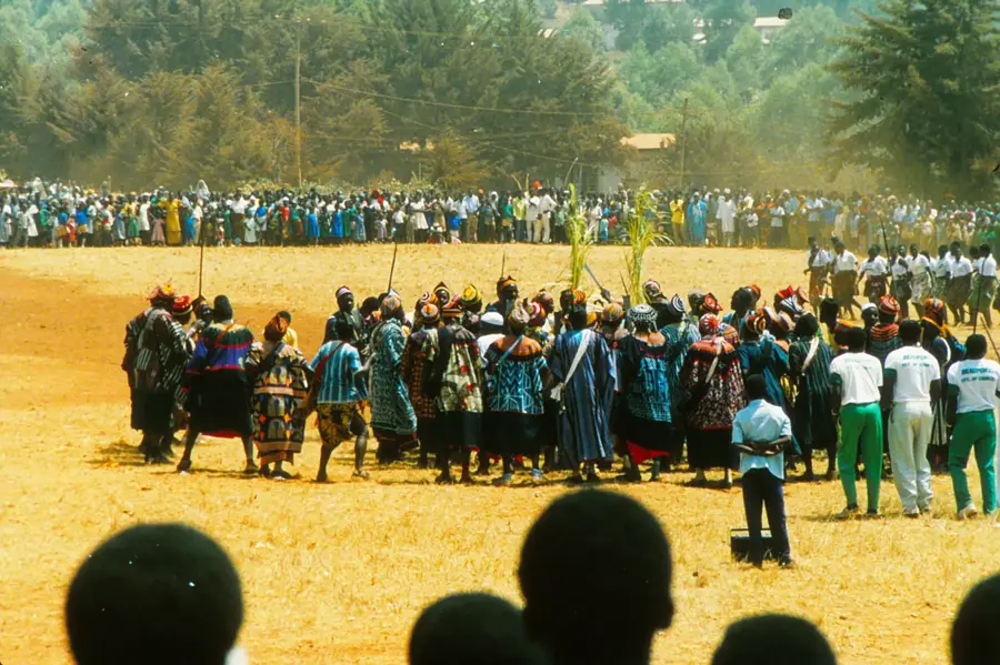
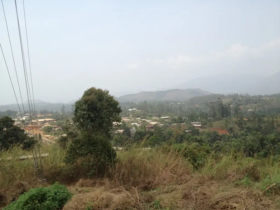
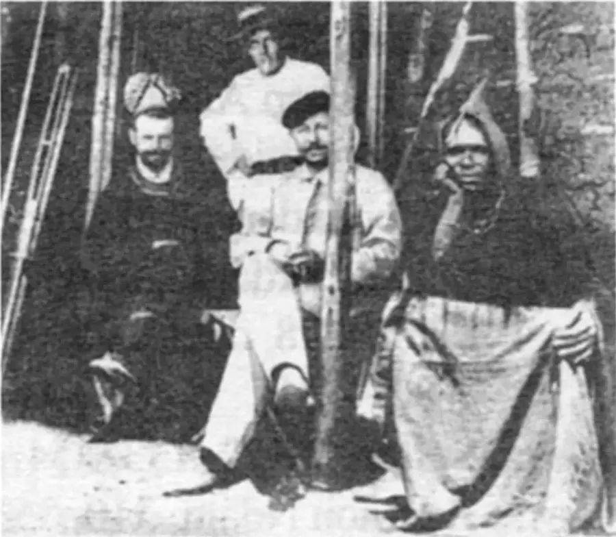
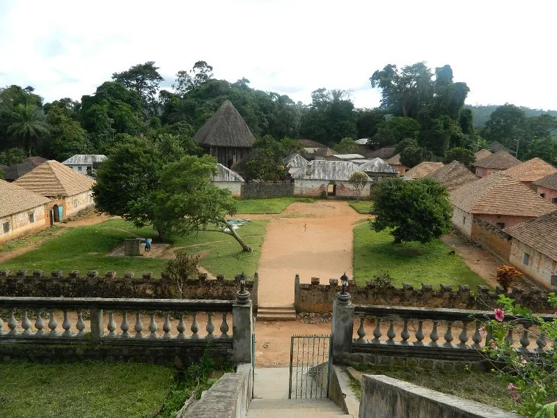
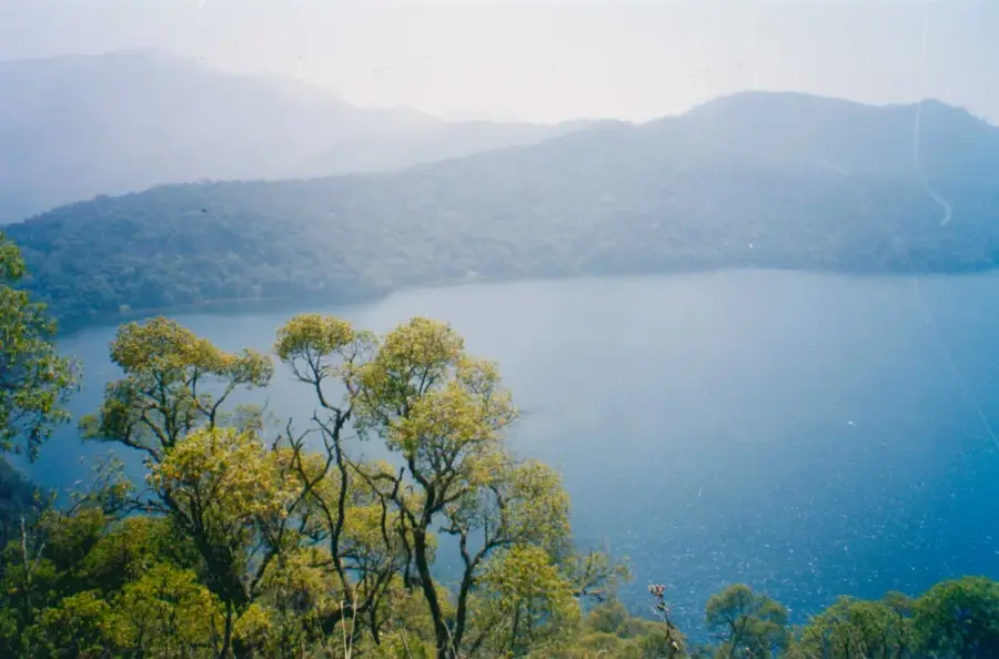
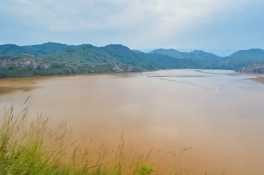
Bamenda, popularly known as Abakwa, is the regional capital of the Northwest Region of Cameroon and the primary urban center of the nation’s Anglophone community. The city is dramatically situated at the base of a towering escarpment on the Bamenda Highlands, at an altitude of approximately 1,600 meters above sea level. This unique geography creates a striking division between the 'Up Station' administrative area and the bustling commercial districts in the lower valley. The climate is sub-tropical highland, characterized by cool temperatures and persistent morning mists, which distinguish it from the humid coastal regions. Bamenda rose to prominence under British colonial administration, developing a robust legal and educational system that remains a cornerstone of its identity today. It is widely regarded as an academic hub, hosting numerous prestigious secondary schools and colleges that attract students from across the country. Economically, the city is a vital trade link for the 'Grassfields' agricultural region, specializing in the distribution of coffee, potatoes, and beans. Bamenda is also world-renowned for its traditional craftsmanship, particularly wood carvings, bronze casting, and the production of the 'Toghu', a richly embroidered velvet garment worn by royalty and commoners alike. The cultural life of the city is centered around the Fon’s palaces, notably the Mankon Palace, which serves as a living museum of local history and spiritual authority. The city is the gateway to the scenic Ring Road, a 367-kilometer loop that takes travelers through some of Cameroon's most dramatic mountain landscapes and crater lakes. Local cuisine is celebrated, with 'Achu', a dish of pounded cocoyam served with a spirited yellow soup, being the most iconic culinary staple. Despite political challenges in recent years, Bamenda remains a symbol of cultural pride and political consciousness within Cameroon. The city’s dynamic markets, academic vigor, and deep-seated traditions make it one of the most intellectually and culturally stimulating cities in Central Africa.
- Location: Cameroon
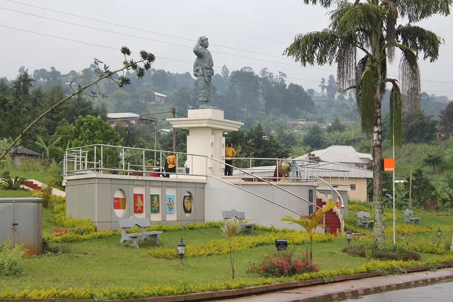
- Top sights: Ebua's Residence · Pa Ngo Residence
- Nearby: Santa (17 km)
- Population: ~420.445 (2026)
Best time to visit & climate
The most pleasant time to visit is Jan, Feb, Dec.
| Jan | Feb | Mar | Apr | May | Jun | Jul | Aug | Sep | Oct | Nov | Dec | |
|---|---|---|---|---|---|---|---|---|---|---|---|---|
| Avg °C | 21 | 22 | 22 | 22 | 21 | 20 | 20 | 19 | 20 | 20 | 21 | 20 |
| Rain mm | 10 | 36 | 109 | 194 | 240 | 298 | 347 | 371 | 361 | 284 | 69 | 6 |
Geography
Facts
- Bamenda's population has grown from 5,000 in 1950 to over 500,000 today.
- The city is located on a plateau at the end of the Western High Plateau range.
- It is the headquarters of the Northwest Region's Catholic and Presbyterian missions.
- The city's major commercial hub is the Main Market, one of the largest in Cameroon.
- Bamenda was originally a junction of trade routes between the forest and the savanna.
- The traditional garment 'Toghu' originated in this specific highland region.
- It is home to the University of Bamenda, a major higher education institution.
- The landscape is dotted with eucalyptus trees, introduced during the colonial era.
Explore nearby
Notable places around
Route planner — Car & Motorhome
Where do you start? We build the route here, with stops and country notes along the way.
© OpenStreetMap contributors · OpenRouteService
Sights in the town Bamenda (2)
Frequently asked questions
In which region is Bamenda located?
What can you buy at the market?
What is the landscape like around Bamenda?
Are there cultural festivals?
Is the climate different from Douala?
Bamenda: where is it located?
Bamenda: what is there to see?
Bamenda: when is the best time to visit?
Bamenda: why is it worth visiting?

Nearby cities
History & landmarks
Nature
More places