Plizio Visual Lab
Bamenda Highlands

Weather…
Water temperature…
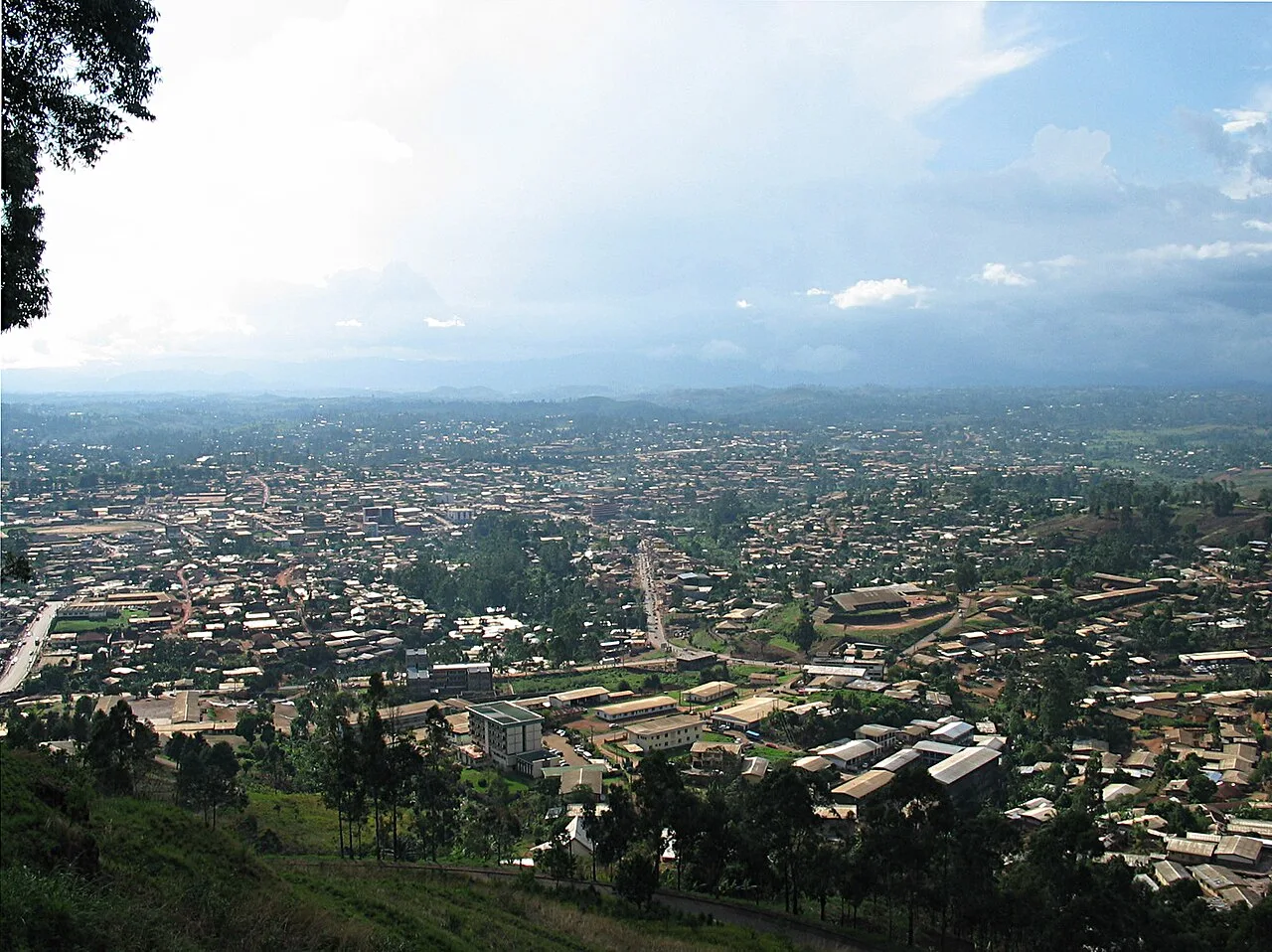
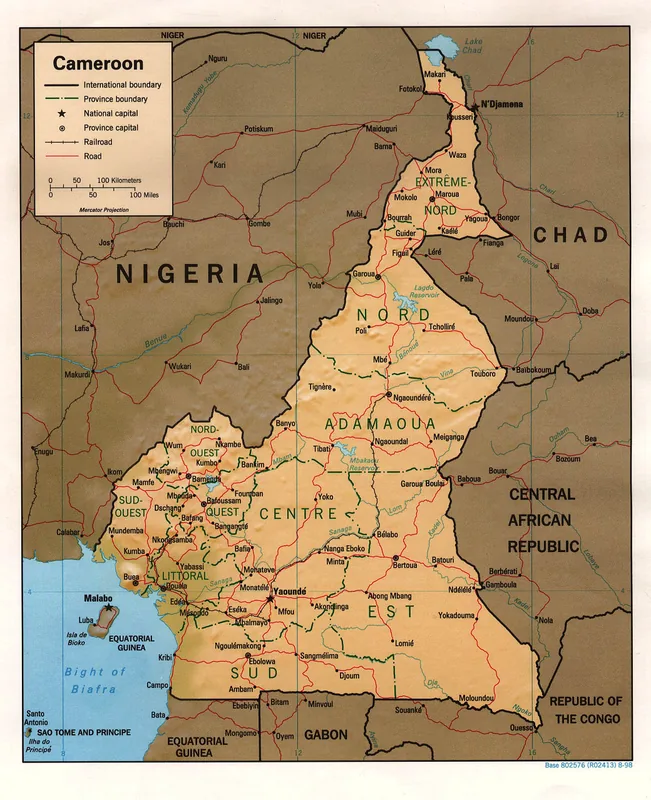
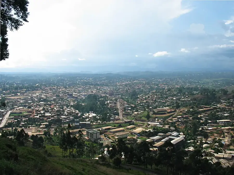
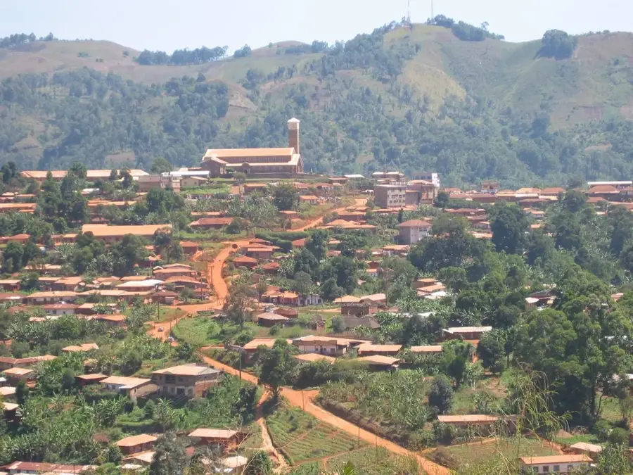
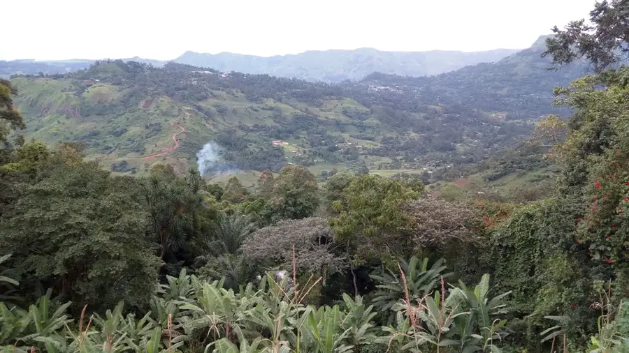
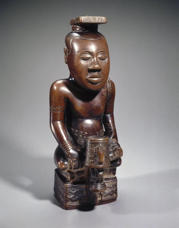
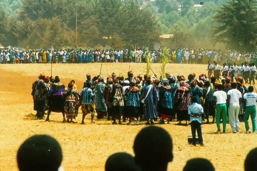
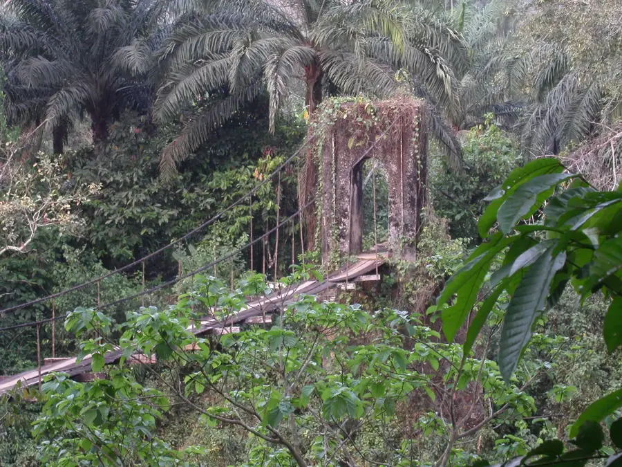
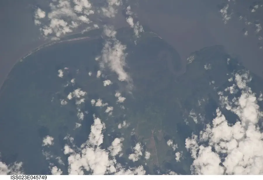
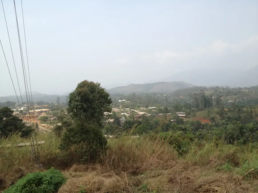
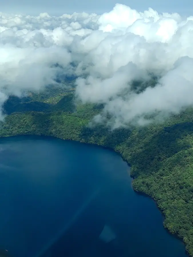
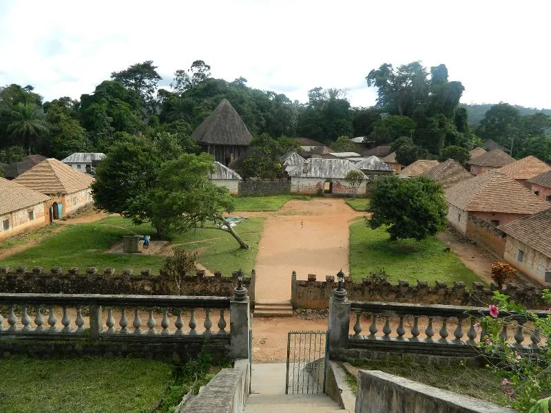
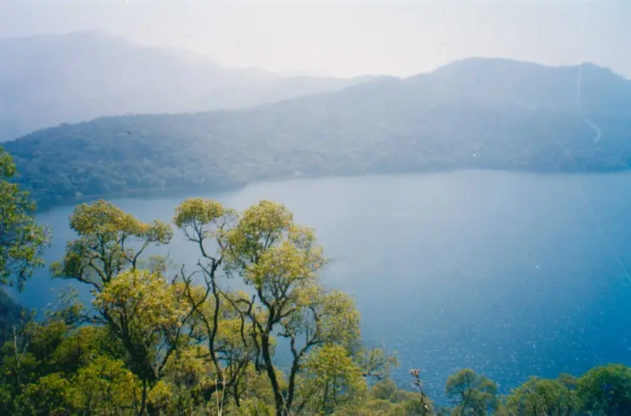
The Bamenda Highlands, also known as the Western High Plateau, is a mountainous region in northwestern Cameroon celebrated for its fertile soil and temperate climate. The region lies at elevations between 1,500 and 2,500 meters and is characterized by rolling hills, deep crater lakes, and extinct volcanoes. A prominent landmark within these highlands is Mount Oku, the second-highest peak in Cameroon. The volcanic legacy of the area has provided mineral-rich earth, making the Bamenda Highlands a vital agricultural hub, particularly for the cultivation of high-quality Arabica coffee and tea. The landscape is dotted with significant crater lakes such as Lake Nyos and Lake Wum, which are both geologically unique and ecologically sensitive. Culturally, the region is the heartland of the "Grassfields" chiefdoms, famous for their sophisticated wood carvings and traditional palace architecture. The highlands also host the Kilum-Ijim Forest, one of the last remaining montane cloud forests in West Africa.
- Location: Cameroon
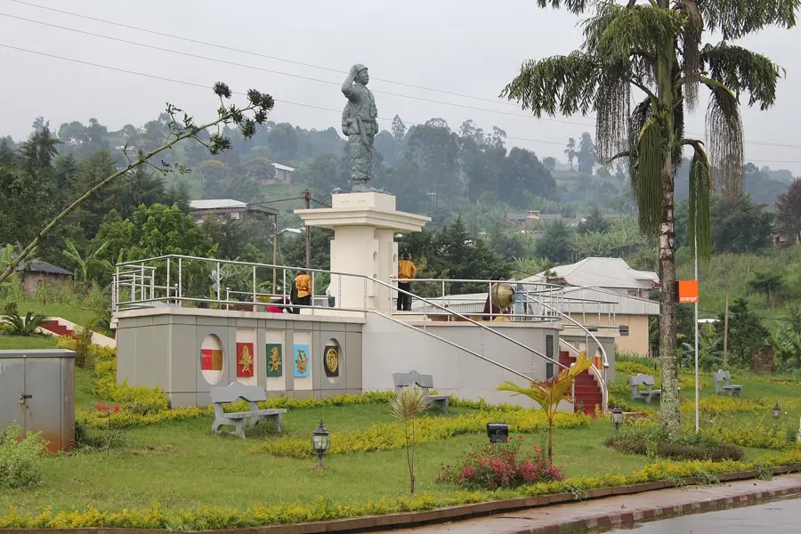
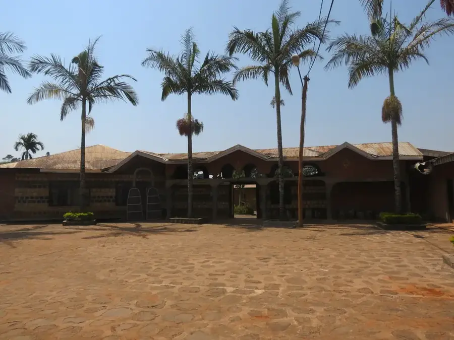
- Top sights: Pa Ndakwe Residence · PC MBENGWI.
- Nearby: Mbengwi (13 km)
Best time to visit & climate
The most pleasant time to visit is Jan, Feb, Dec.
| Jan | Feb | Mar | Apr | May | Jun | Jul | Aug | Sep | Oct | Nov | Dec | |
|---|---|---|---|---|---|---|---|---|---|---|---|---|
| Avg °C | 21 | 22 | 22 | 22 | 21 | 20 | 20 | 19 | 20 | 20 | 21 | 20 |
| Rain mm | 10 | 36 | 109 | 194 | 240 | 298 | 347 | 371 | 361 | 284 | 69 | 6 |
📋 Practical info
Geography
Facts
- The region maintains an average elevation of over 1,500 meters.
- Mount Oku stands as the highest point in the highlands at 3,011 meters.
- Lake Nyos became infamous due to a deadly limnic eruption in 1986.
- The fertile volcanic soil is ideal for growing world-class Arabica coffee.
- The Kilum-Ijim Forest is a sanctuary for the rare Bannerman's Turaco bird.
- Traditional Fon chiefdoms still exercise significant cultural authority.
Explore nearby
Notable places around
Route planner — Car & Motorhome
Where do you start? We build the route here, with stops and country notes along the way.
© OpenStreetMap contributors · OpenRouteService
Sights in the town Bamenda Highlands (2)
Sights nearby
Frequently asked questions
What makes the Bamenda Highlands touristically interesting?
What is the climate in Bamenda?
Can you visit the Fon palaces?
What natural beauties are there?
Is the Ring Road easily passable?
Bamenda Highlands: where is it located?
Bamenda Highlands: what is there to see?
Bamenda Highlands: when is the best time to visit?
Bamenda Highlands: why is it worth visiting?

Nearby cities

History & landmarks
Nature
More places