Plizio Visual Lab
Wum
ℹ️Practical info — Wum
▾
🌤 Weather — 5 days
📍 Nearby
Sights nearby
💡 Tips
- The best time to visit Lake Wum is in the early morning, when the light over the crater lake is particularly magical.
- The roads from Bamenda to Wum can become extremely muddy in the rainy season; a 4x4 vehicle is highly recommended.
- A few words of Pidgin English open doors here, as it is the main lingua franca in the Northwest region.
- Because the area is at a higher elevation, evenings can get unexpectedly cool. Pack a light sweater.
🍽 Food
A delicious dish of grilled chicken prepared with palm oil and local spices, often served in small street eateries.
A traditional yellow soup of the Grassfields region, eaten with pounded taro (cocoyam). Ask for it around the market.
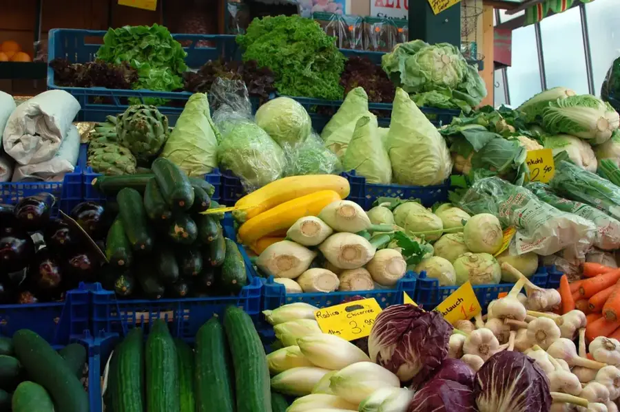
The large, buttery avocados from the region are legendary and can be bought cheaply at any local market.
🛍 Shopping · 🧘 Quiet spots
The region is famous for its excellent, dark natural honey, which is sold in bottles at the market.
Buy fresh white pepper and local herbs grown on the fertile hills surrounding the town.
The still waters of the lake offer an excellent contrast to town life. A peaceful spot for reflection.
A short hike out of town leads to rolling green landscapes that offer absolute tranquility.
Water temperature…
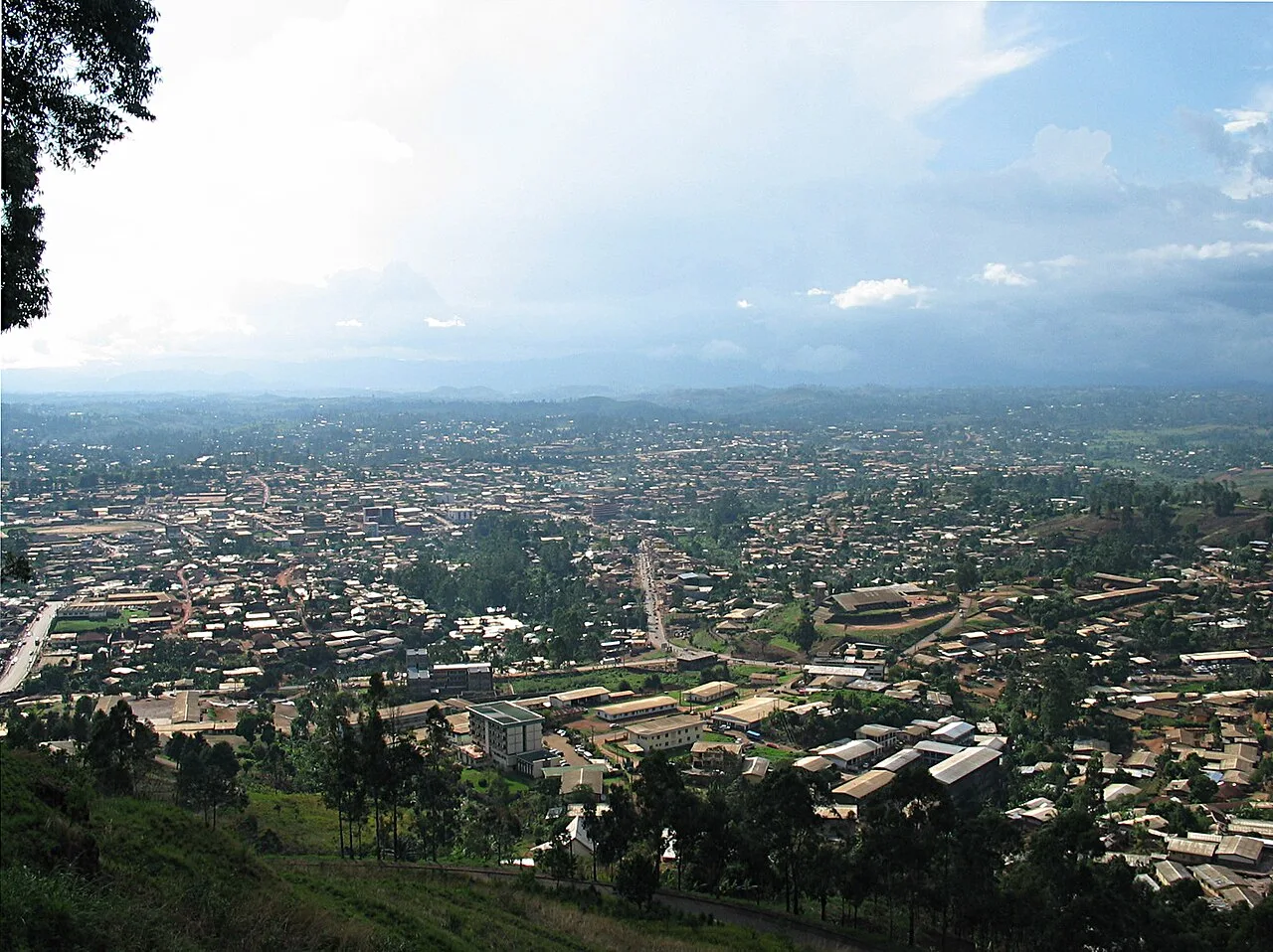
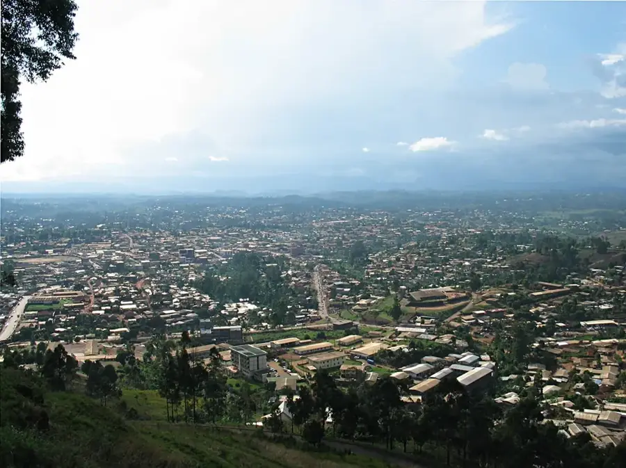
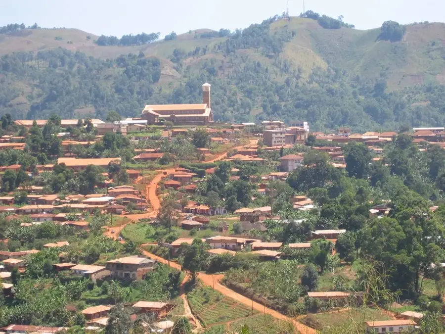
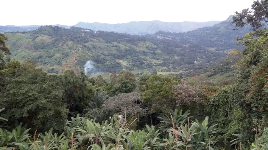
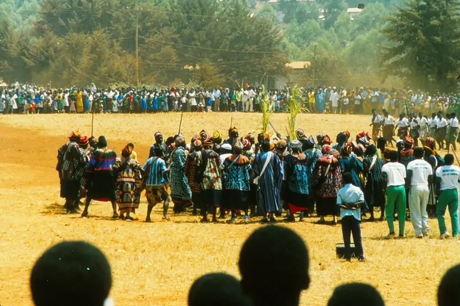
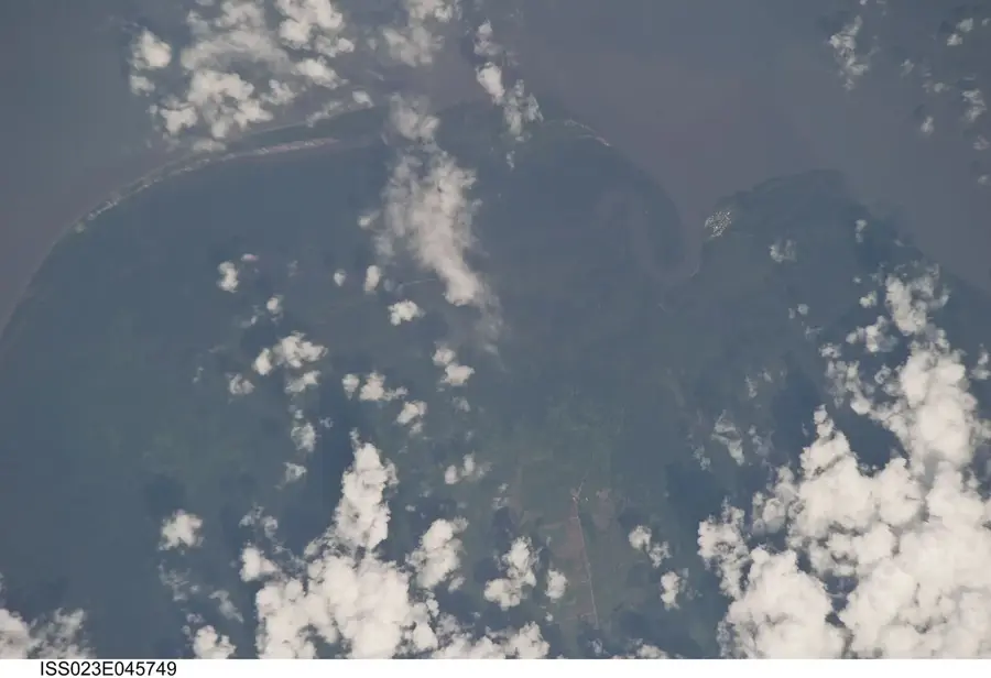
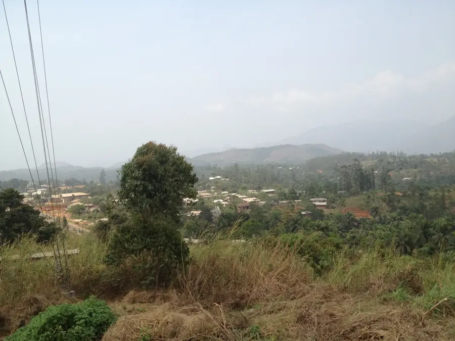
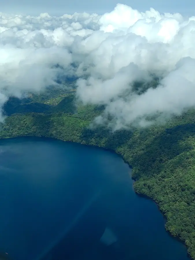
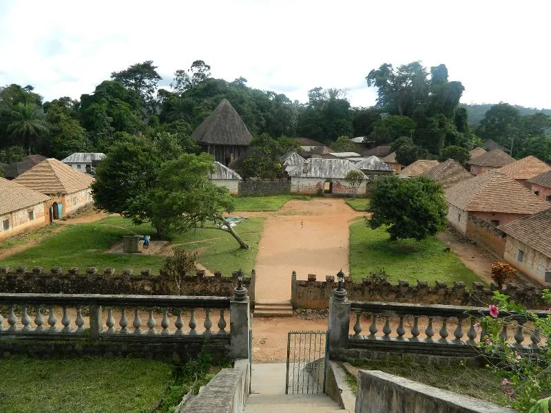
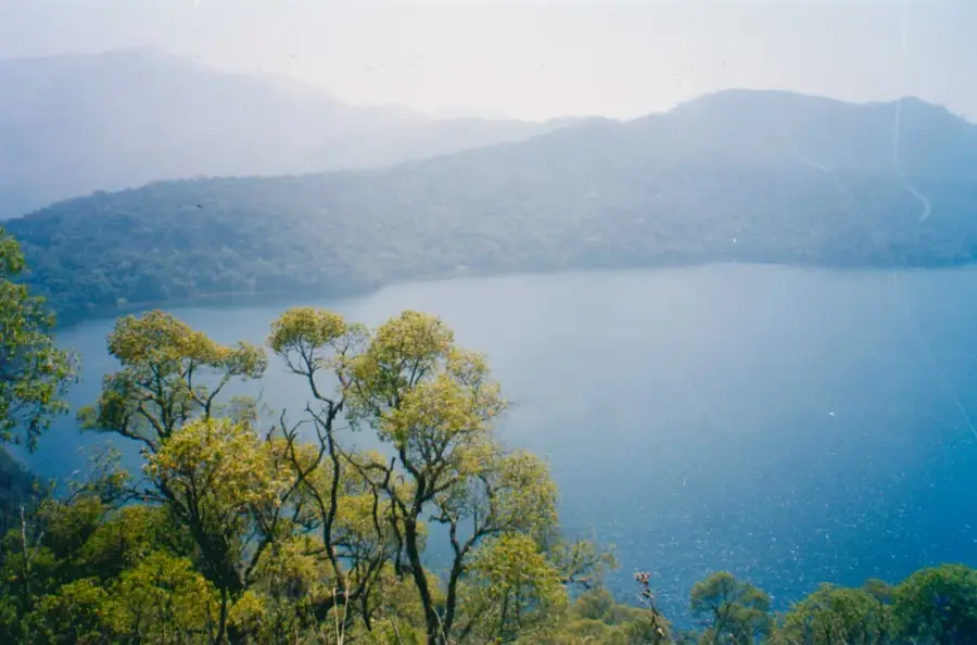
Wum is the capital of Menchum Division in the Anglophone Northwest Region and sits at about 1 200 metres elevation on a hilly plateau north-west of Bamenda. Its roughly 70 000 inhabitants belong mostly to the Aghem peoples, known for their ritual dances and round mud-brick huts with conical roofs. The region is famous for the spectacular Menchum Falls, among the tallest in Cameroon, and for nearby Lake Nyos, the crater lake notorious for the 1986 CO₂ outburst that tragically entered world history. The economy rests on maize, beans, potatoes, honey and cattle herding by Mbororo pastoralists. The pleasantly cool plateau climate, with a marked rainy season from April to October, allows two harvests a year and provides habitat for rare highland birds and alpine plants.
- Location: Cameroon
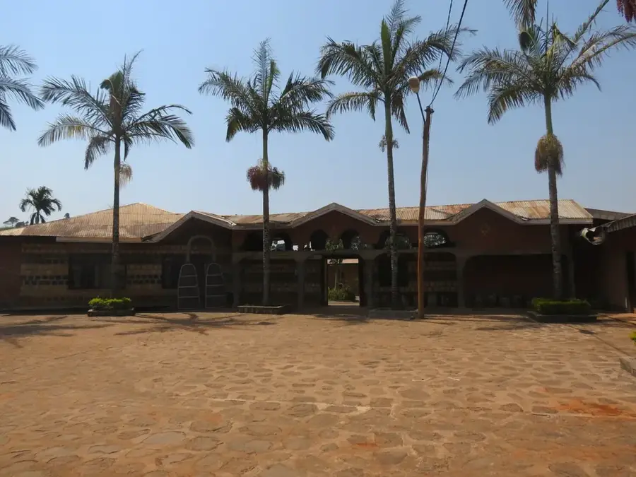
- Top sights: Naikom Palace · Maagha Palace
- Nearby: Fundong (27 km)
- Population: ~42.457 (2023)
Best time to visit & climate
The most pleasant time to visit is Jan, Feb, Dec.
| Jan | Feb | Mar | Apr | May | Jun | Jul | Aug | Sep | Oct | Nov | Dec | |
|---|---|---|---|---|---|---|---|---|---|---|---|---|
| Avg °C | 22 | 24 | 24 | 24 | 24 | 23 | 22 | 21 | 22 | 23 | 23 | 22 |
| Rain mm | 9 | 27 | 84 | 190 | 231 | 274 | 319 | 331 | 360 | 286 | 64 | 5 |
Geography
Facts
- Located in the high-altitude landscape of the Northwest Region.
- Important market hub for local agricultural and livestock products.
- Known for its scenic views and traditional highland culture.
- Key center for regional rural life and local trade.
- Fast-developing urban center within a rugged terrain.
- Important site for preserving Northwest traditional practices.
Explore nearby
Notable places around
Route planner — Car & Motorhome
Where do you start? We build the route here, with stops and country notes along the way.
© OpenStreetMap contributors · OpenRouteService
Sights in the town Wum (2)
Frequently asked questions
What is typical for Wum?
When is the best time to travel?
How to get there?
Are there natural attractions?
How is the infrastructure?
Wum: where is it located?
Wum: what is there to see?
Wum: when is the best time to visit?
Wum: why is it worth visiting?

Nearby cities
History & landmarks
Nature
More places