Plizio Visual Lab
Melong
ℹ️Practical info — Melong
▾
🌤 Weather — 5 days
📍 Nearby
Sights nearby
💡 Tips
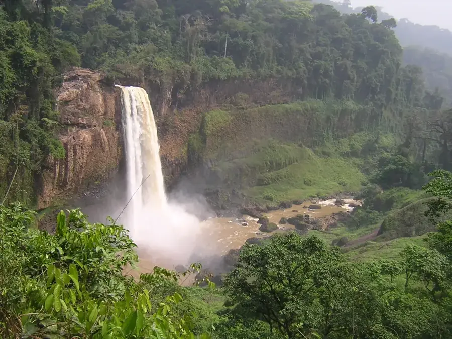
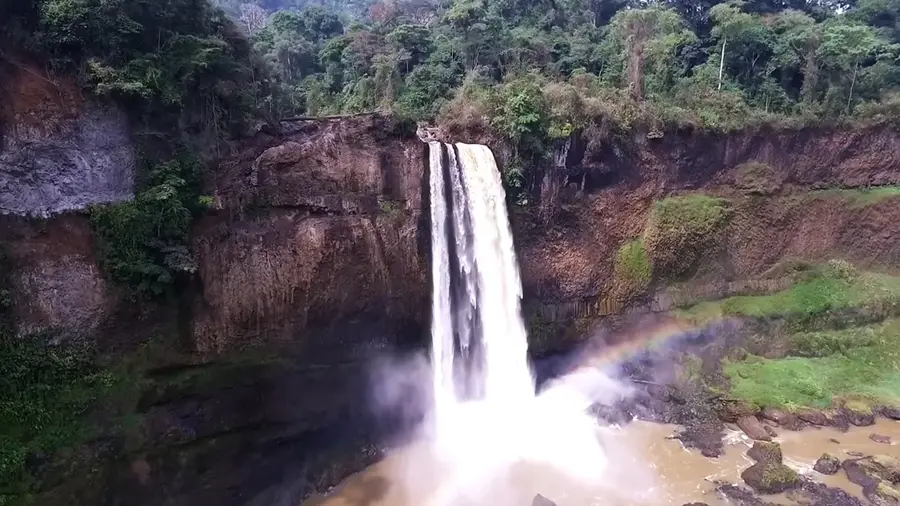
- Melong is the great base for the Ekom Nkam waterfalls; hire a local guide for the best experience.
- The road up to the twin lakes of Mount Manengouba strictly requires a sturdy 4x4 vehicle.
- Mountain weather changes rapidly; bring a raincoat even on sunny days.
- Negotiate guide and transport fees in advance to avoid any unwelcome surprises.
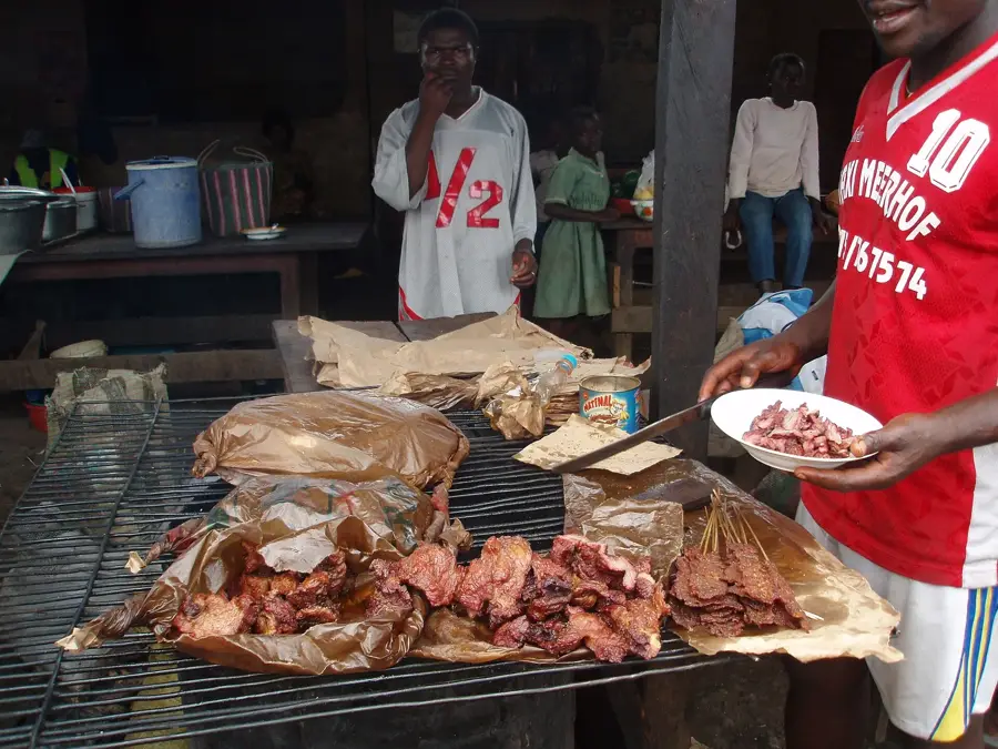
🍽 Food
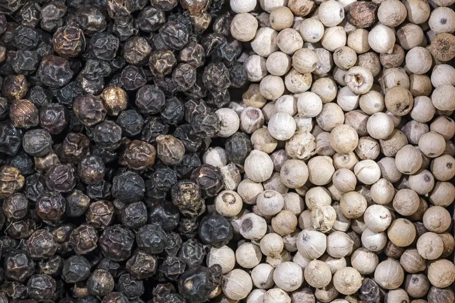
A wild spinach dish available in small diners in the center of Melong.
Buy pineapples and papayas right at the roadside stalls along the highway.
Prepared in the evenings by vendors near the main junction.
🛍 Shopping · 🧘 Quiet spots
Locally grown on the volcanic soils, readily available at the town market.
Buy fresh spices and produce straight from the local produce stands.
Mesmerizing nature; go early in the morning to enjoy absolute quiet.
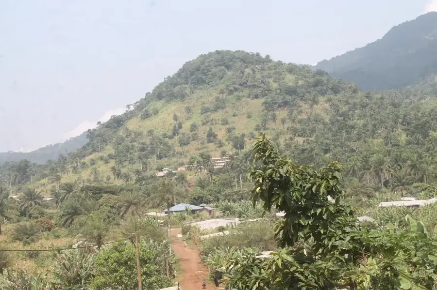
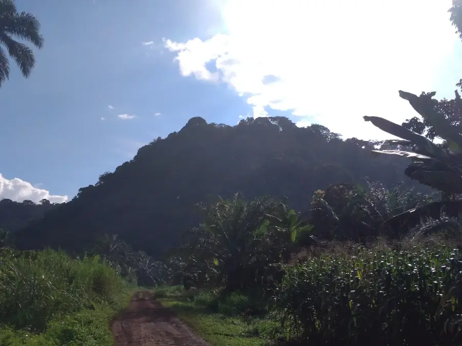
An incredibly peaceful highland area with spectacular views.
Water temperature…
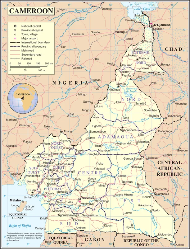
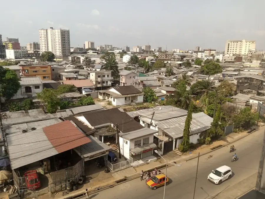
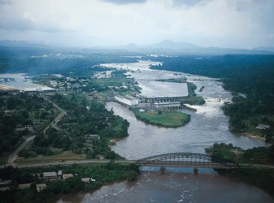
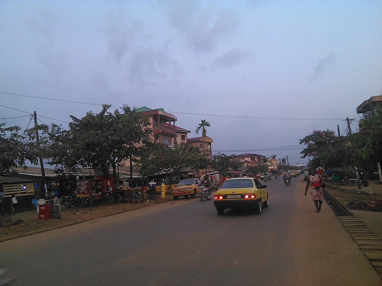
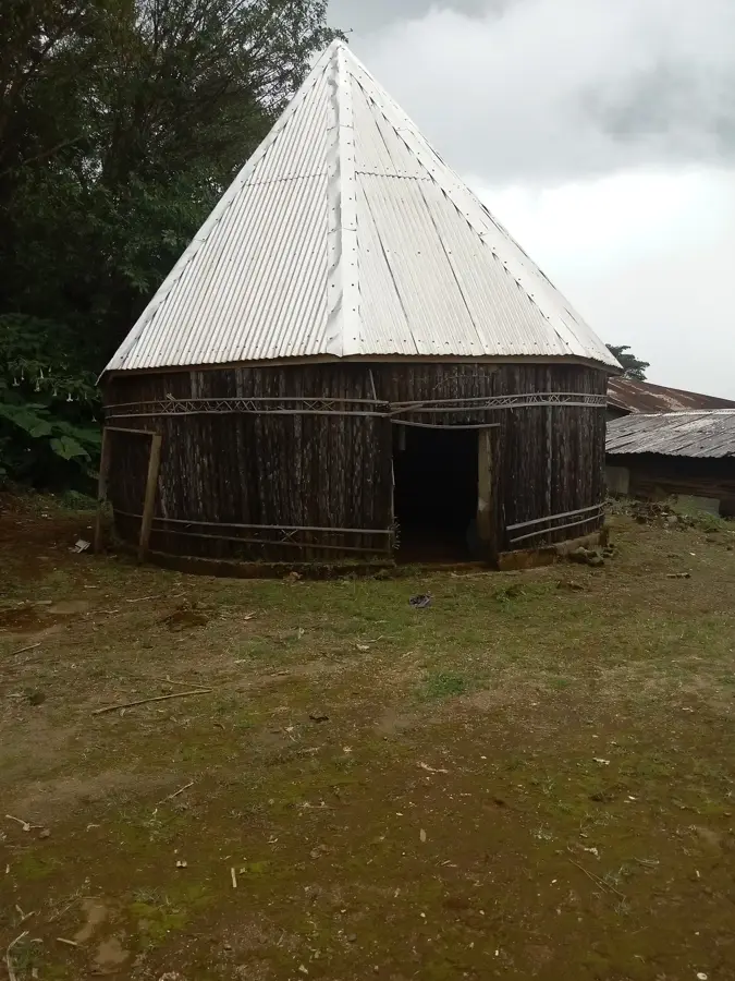
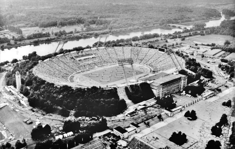
Melong is an important agricultural market town in Moungo Department of the Littoral Region, sitting at about 700 metres elevation in the transition zone between the Bamiléké highlands and the hot Littoral plain, around 25 kilometres north of Nkongsamba. Its roughly 50 000 inhabitants belong mostly to the Mbo Bamiléké subgroup, with large Bafang and Nkongsamba diasporas. The economy rests on coffee, bananas, avocados, tomatoes, cocoa and a growing timber and construction-wood trade. The town sits strategically on the route between the western highlands and the Atlantic coast, favouring agricultural trade between regions. Highlights include the spectacular Ekom-Nkam Falls, among the tallest and most beautiful waterfalls in Cameroon, made famous by films such as Greystoke, and the nearby Manengouba Mountain. The mild transitional climate with a long rainy season and lush vegetation shapes the region.
- Location: Cameroon
- Nearby: Kékem (5 km)
- Population: ~76.716 (2023)
Best time to visit & climate
The most pleasant time to visit is Jan, Feb, Dec.
| Jan | Feb | Mar | Apr | May | Jun | Jul | Aug | Sep | Oct | Nov | Dec | |
|---|---|---|---|---|---|---|---|---|---|---|---|---|
| Avg °C | 23 | 23 | 24 | 23 | 23 | 22 | 22 | 21 | 22 | 22 | 23 | 22 |
| Rain mm | 31 | 77 | 160 | 227 | 240 | 364 | 463 | 549 | 444 | 348 | 142 | 21 |
Geography
Facts
- Located in the Moungo department, Littoral Region.
- Gateway to the 80-meter high Ekom Nkam waterfalls.
- Significant center for Arabica coffee production.
- Situated near the border with the West Region.
- Used as a filming location for the 1984 movie Greystoke.
- The climate is notably cooler than in nearby Douala.
Explore nearby
Notable places around
Route planner — Car & Motorhome
Where do you start? We build the route here, with stops and country notes along the way.
© OpenStreetMap contributors · OpenRouteService
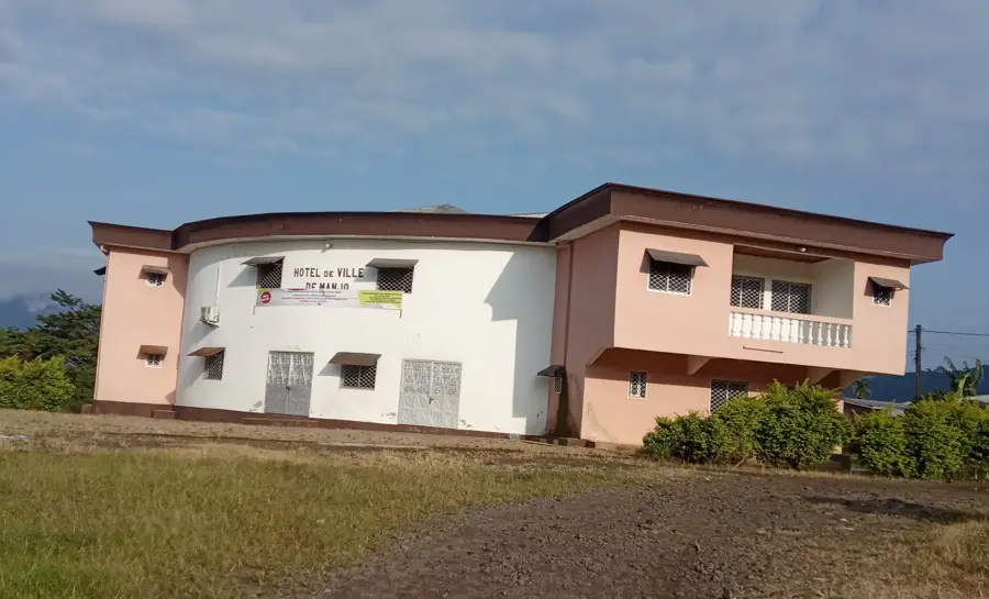
Sights in the town Melong (1)
Frequently asked questions
Why is Melong a good starting point for tourists?
Which fruit is typical for the Melong area?
How far are the Ekom-Nkam waterfalls from Melong?
Are there mountain hiking trails near Melong?
Do you need a guide in Melong?
Melong: where is it located?
Melong: when is the best time to visit?
Melong: why is it worth visiting?

Nearby cities
History & landmarks


Nature
More places