Plizio Visual Lab
Manengouba Mountains

Weather…
Water temperature…
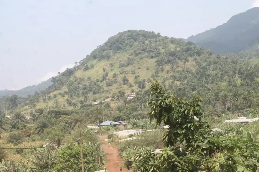
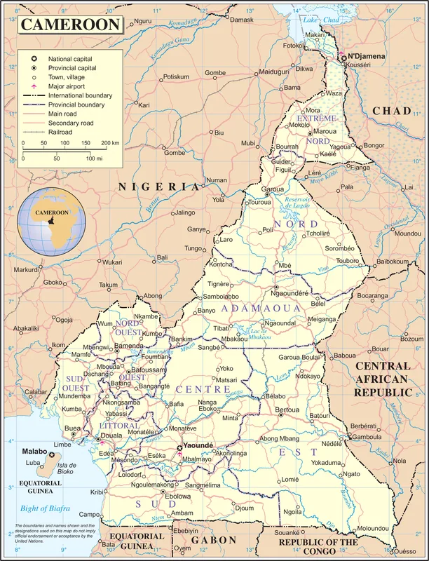
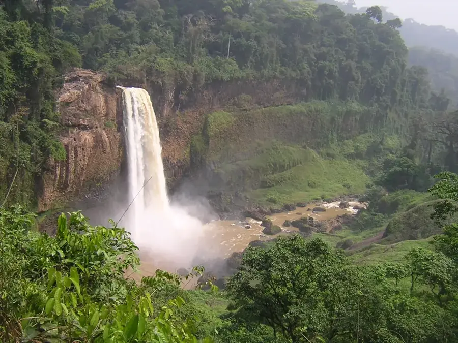
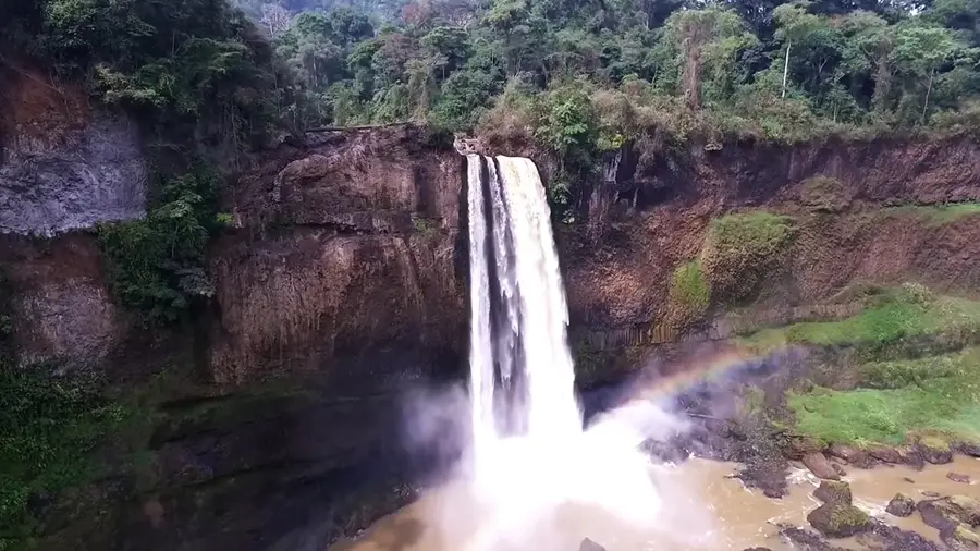
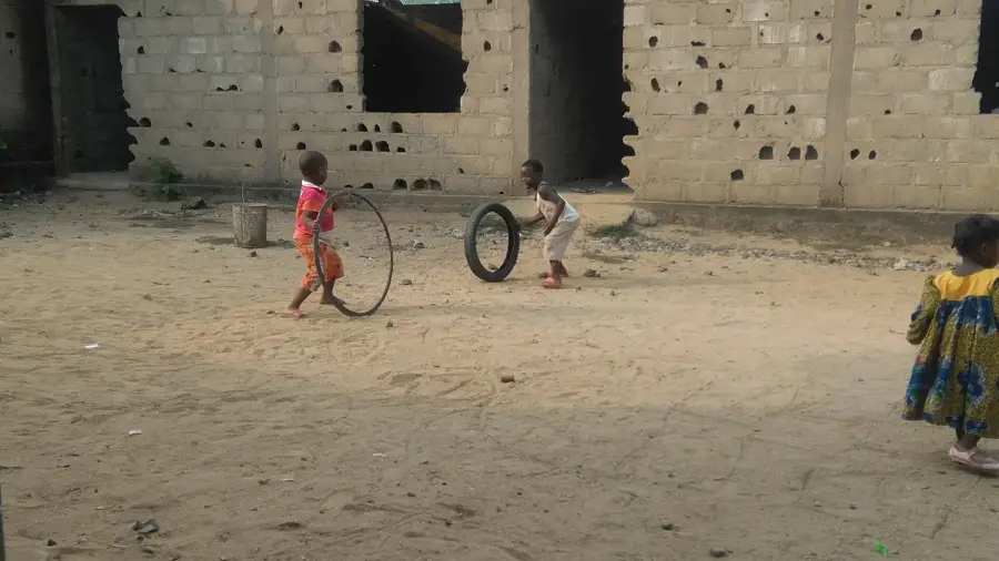
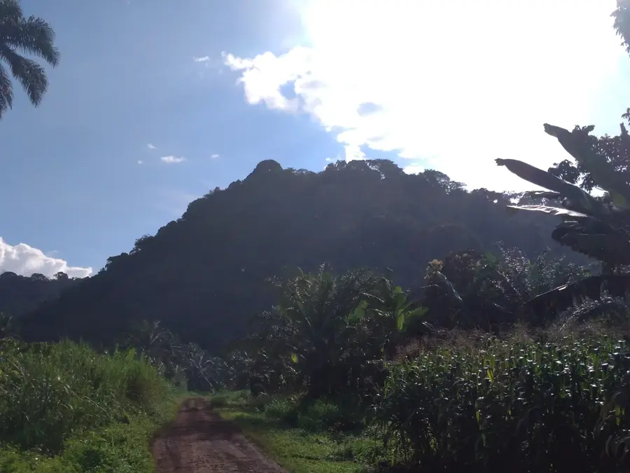
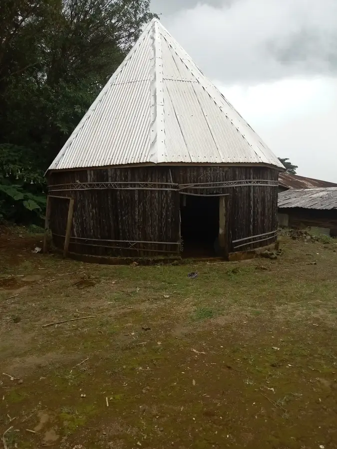
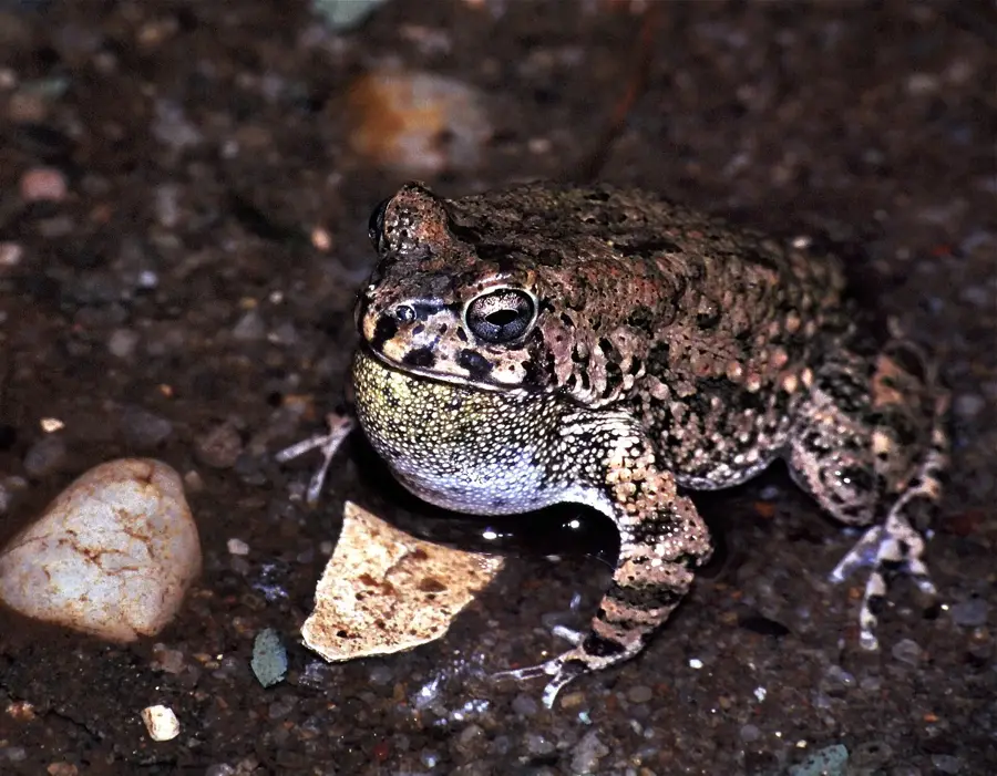
The Manengouba Mountains are a spectacular volcanic massif situated on the border between the Littoral and Southwest regions of Cameroon. Reaching a peak elevation of approximately 2,411 meters, the range is a prominent feature of the Cameroon Volcanic Line. The most famous landmark within the range is the Manengouba Caldera, which houses the 'Twin Lakes': the greenish 'Male Lake' and the blue 'Female Lake,' both deeply significant in the spiritual traditions of the local Mbo and Bakossi peoples. Geographically, the massif presents a diverse landscape ranging from dense rainforests at lower altitudes to expansive sub-alpine grasslands on the plateaus, which are traditionally used for cattle grazing. The region enjoys a temperate, cool climate and is a sanctuary for endemic wildlife, including rare amphibians and bird species. Its striking natural beauty and rich cultural lore make the Manengouba Mountains a premier destination for ecotourism in Central Africa.
- Location: Cameroon
- Nearby: Mount Manengouba (5 km)
Best time to visit & climate
The most pleasant time to visit is Jan, Feb, Dec.
| Jan | Feb | Mar | Apr | May | Jun | Jul | Aug | Sep | Oct | Nov | Dec | |
|---|---|---|---|---|---|---|---|---|---|---|---|---|
| Avg °C | 23 | 23 | 24 | 23 | 23 | 22 | 22 | 21 | 22 | 22 | 23 | 22 |
| Rain mm | 31 | 77 | 160 | 227 | 240 | 364 | 463 | 549 | 444 | 348 | 142 | 21 |
📋 Practical info
Geography
Facts
- The highest peak of the massif reaches 2,411 meters above sea level.
- The Manengouba Caldera is approximately 6 kilometers in diameter.
- The Twin Lakes are situated at an elevation of about 1,900 meters.
- The plateaus are vital grazing lands for the Bororo pastoralists.
- Scientists have documented over 100 different amphibian species in the area.
- The volcano is considered extinct but still exhibits geothermal activity.
Explore nearby
Notable places around
Route planner — Car & Motorhome
Where do you start? We build the route here, with stops and country notes along the way.
© OpenStreetMap contributors · OpenRouteService
Sights nearby
Frequently asked questions
What is the highlight of the Manengouba Mountains?
Is the mountain range suitable for hiking?
Who lives in this mountain region?
How do you get to the Manengouba Mountains?
Is swimming allowed in the lakes?
Manengouba Mountains: where is it located?
Manengouba Mountains: when is the best time to visit?
Manengouba Mountains: why is it worth visiting?

Nearby cities
History & landmarks


Nature
More places