Plizio Visual Lab
Nkongsamba
ℹ️Practical info — Nkongsamba
▾
🌤 Weather — 5 days
📍 Nearby
Sights nearby
💡 Tips
- The city is positioned between mountains; the climate is cooler and often misty, so bring a light jacket.
- It's the great base for trekking Mount Manengouba and visiting the Twin Lakes.
- Always negotiate taxi fares before getting in.
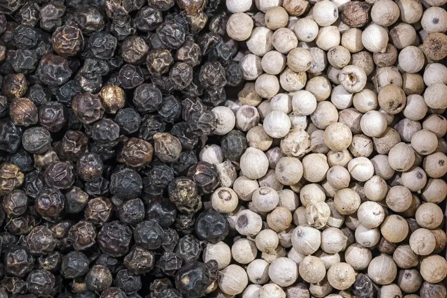
- Coffee is the region's pride; look for local roasts.
- The road from Douala is scenic but can be winding and prone to heavy traffic.
🍽 Food
A popular vegetable dish, usually served with water fufu at local restaurants in the center.
Enjoy a freshly brewed cup of the locally grown coffee at small cafes.
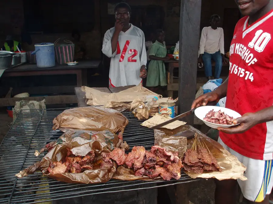
A classic street food snack found along the main roads.
🛍 Shopping · 🧘 Quiet spots
A bustling hub where you can find spices, coffee beans, and local crafts.
Buy fresh coffee beans directly from the producers if possible.
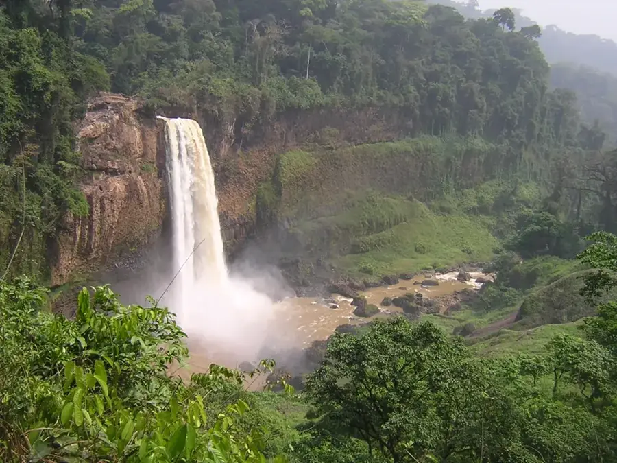
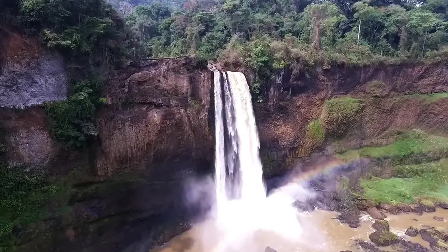
A wide-open and thunderous waterfall surrounded by jungle, a short drive away.
Lower trails offer peaceful walks among coffee plantations and lush greenery.
Water temperature…
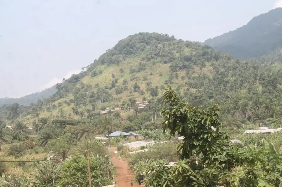
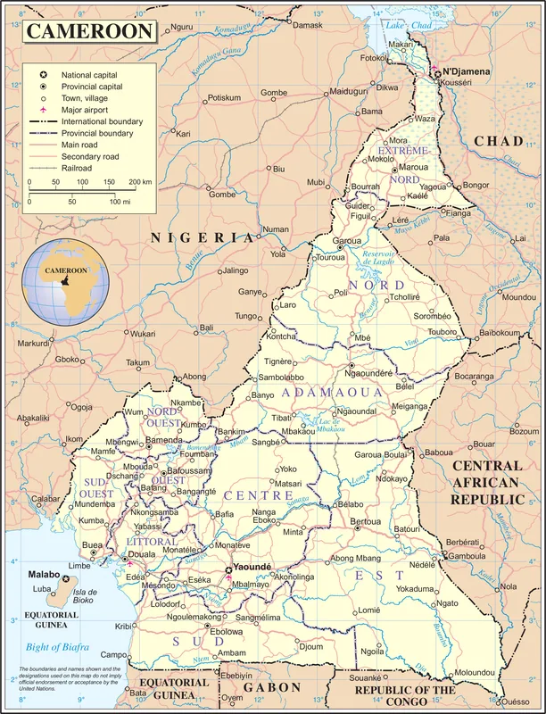
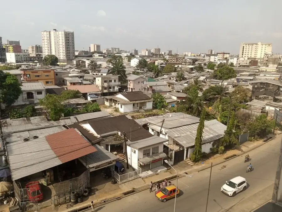
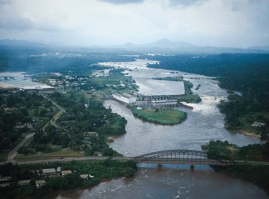
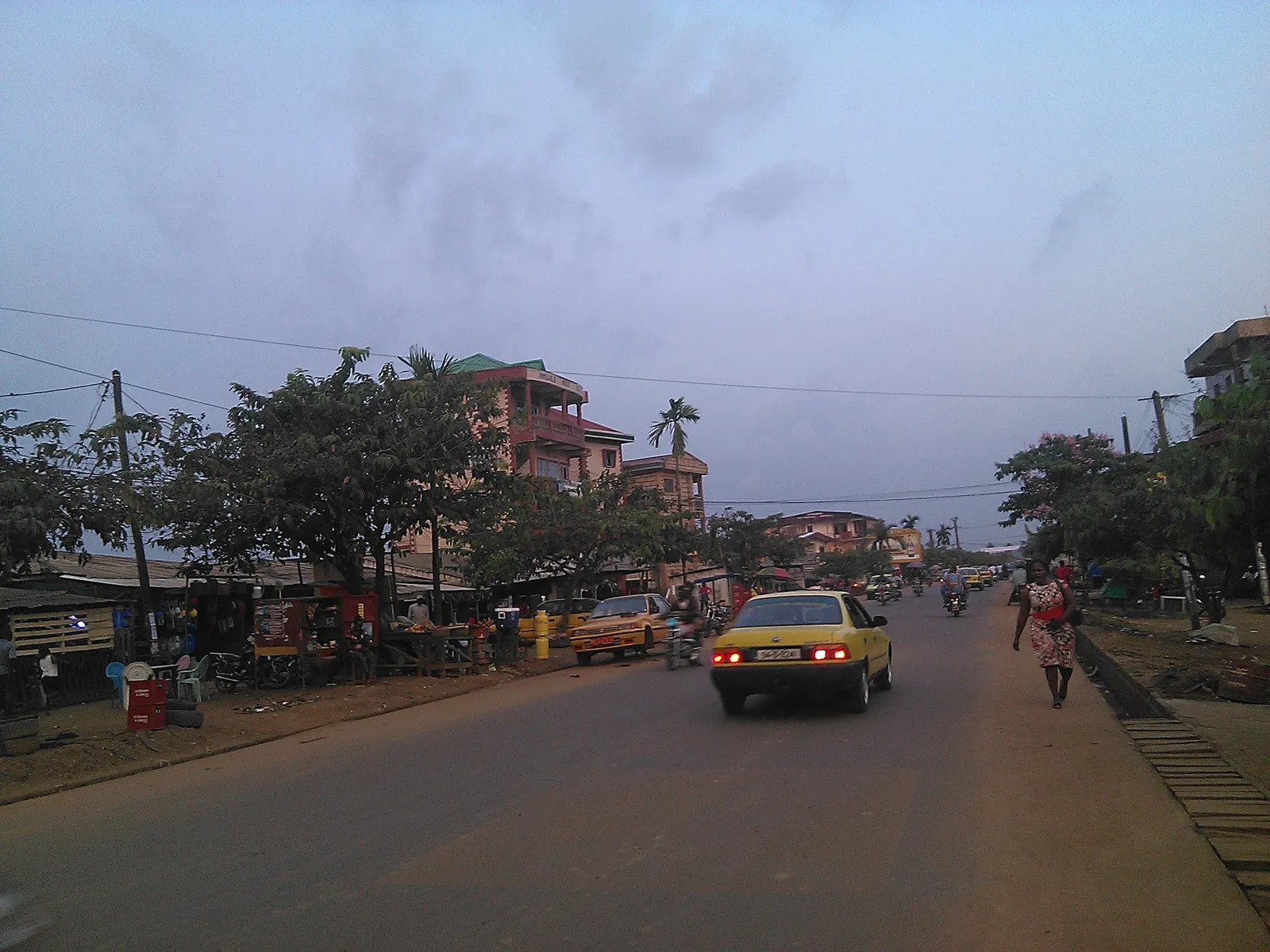
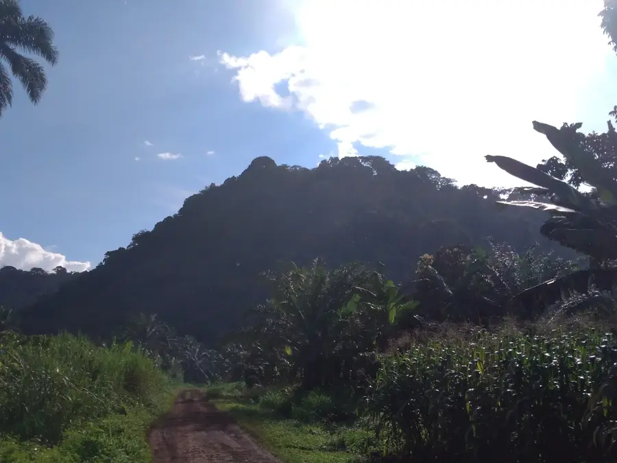
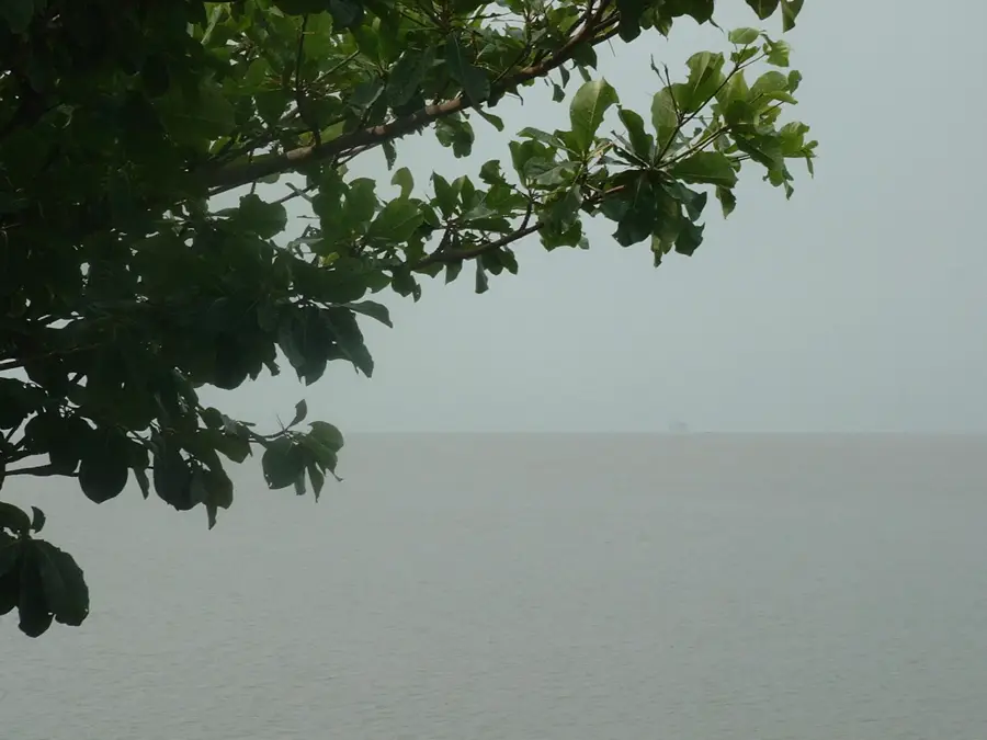
Nkongsamba lies at the south-western foot of the Manengouba Mountains at about 800 metres elevation and was, in the twentieth century, one of Cameroon's most important cities as the terminus of the historic railway from Douala. Today it counts about 130 000 inhabitants and serves as the administrative and commercial centre of Mungo Department in the Littoral Region. Its economy rests on coffee, cocoa, banana and rubber plantations, along with a growing timber and construction industry. The city is the gateway to the striking Manengouba twin crater lakes, a male and a female lake at 2 000 metres elevation, and to Mount Manengouba itself. The population is multicultural, with Bamiléké, Mbo, Bakossi and Bassa communities. The surrounding humid tropical forests are rich in rare birds and butterflies, drawing eco-tourists.
- Location: Cameroon
- Top sights: Carrefour Jean 23 · Carrefour Oumarou
- Nearby: Mbouroukou (13 km)
- Population: ~162.309 (2023)
Best time to visit & climate
The most pleasant time to visit is Jan, Feb, Dec.
| Jan | Feb | Mar | Apr | May | Jun | Jul | Aug | Sep | Oct | Nov | Dec | |
|---|---|---|---|---|---|---|---|---|---|---|---|---|
| Avg °C | 23 | 23 | 24 | 23 | 23 | 22 | 22 | 21 | 22 | 22 | 23 | 22 |
| Rain mm | 31 | 77 | 160 | 227 | 240 | 364 | 463 | 549 | 444 | 348 | 142 | 21 |
Geography
Facts
- Historically known as the center of Cameroon's coffee industry.
- Situated at the base of the volcanic Manengouba Mountains.
- Important transit town connecting the Littoral and Western Regions.
- Known for its lush, verdant landscapes and fertile volcanic soil.
- Historical importance as a center for coffee export.
- Main trade destination for goods traveling to the coast.
Explore nearby
Notable places around
Route planner — Car & Motorhome
Where do you start? We build the route here, with stops and country notes along the way.
© OpenStreetMap contributors · OpenRouteService
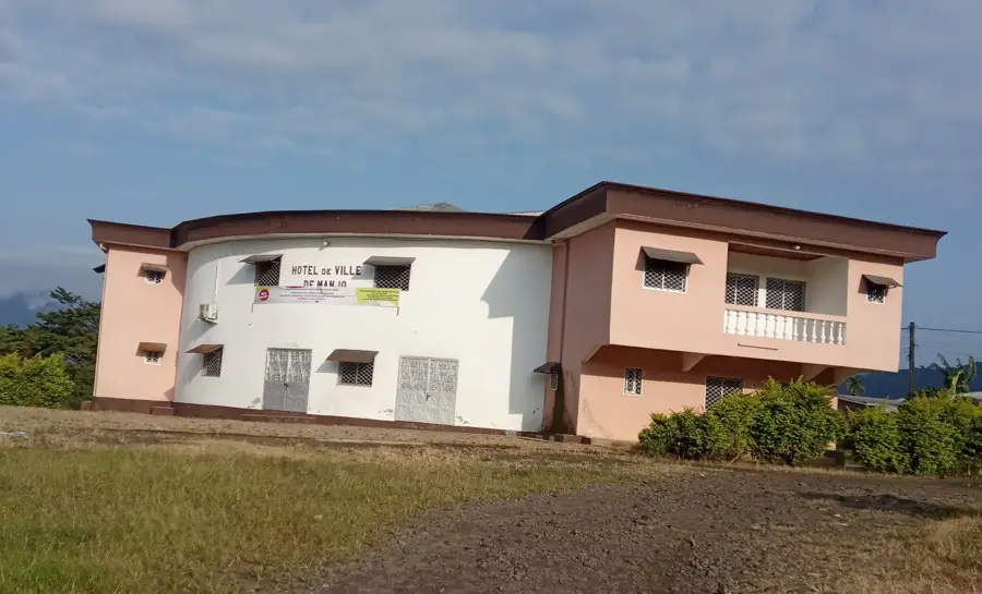
Sights in the town Nkongsamba (2)
Frequently asked questions
Where is Nkongsamba located?
What is the main tourist highlight?
What is the agriculture known for?
Are there waterfalls nearby?
How do you reach the crater lakes?
Nkongsamba: where is it located?
Nkongsamba: what is there to see?
Nkongsamba: when is the best time to visit?
Nkongsamba: why is it worth visiting?

Nearby cities
History & landmarks


Nature
More places