Plizio Visual Lab
Rango

ℹ️Practical info — Rango
▾
🌤 Weather — 5 days
📍 Nearby
Sights nearby
💡 Tips
- Rango operates heavily on rural time; start your activities early in the morning when the local service points are most active.
- To reach the surrounding villages, inquire at the central market about shared taxis.
- Electricity and internet can be intermittent; download offline maps and carry cash.
- Politeness is highly valued; greet elders and shopkeepers warmly before doing business.
🍽 Food
Tiny, silvery fish, usually fried crisp, available at informal food stalls near the market.
A popular, sweet and savory side dish served with most meals in town.
Stop by a local shop to taste the strong, freshly roasted coffee beans from the surrounding hills.
🛍 Shopping · 🧘 Quiet spots
The gathering place for nearby farmers selling fresh beans, maize, and root vegetables.
Hand-carved spoons and bowls made by local craftsmen, often found on market days.
Wander just outside the town center to see the serene agricultural terraces.
Look for the small water sources around the town where locals gather and wash produce in peace.
Water temperature…
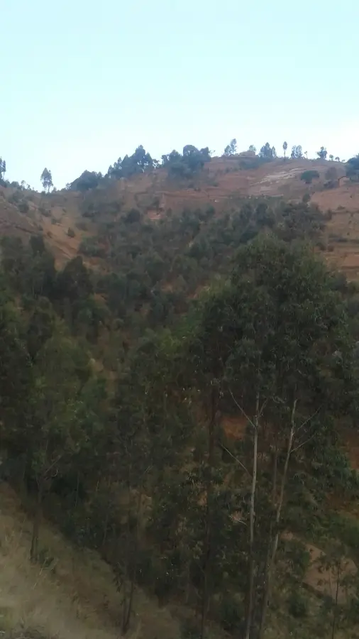
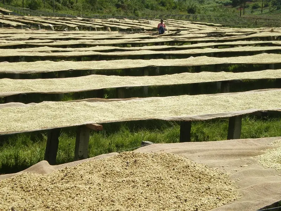
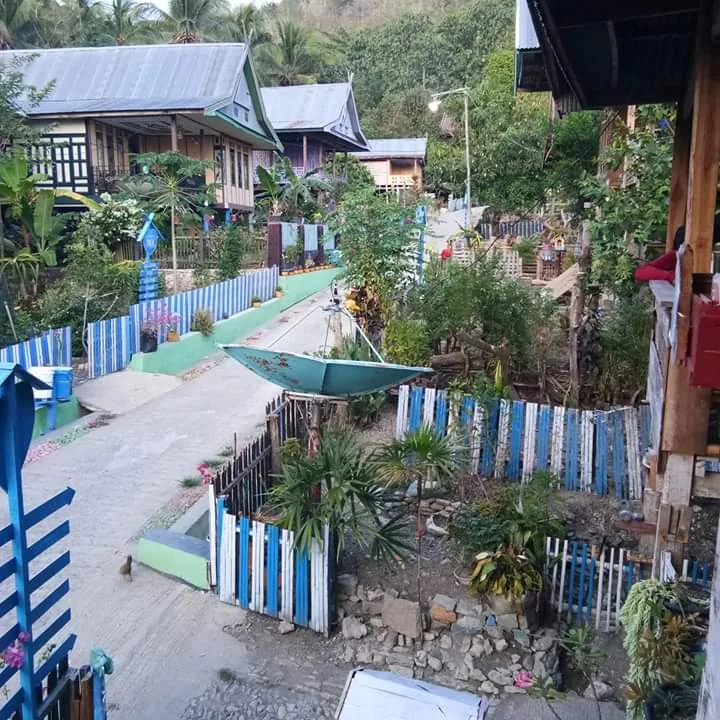
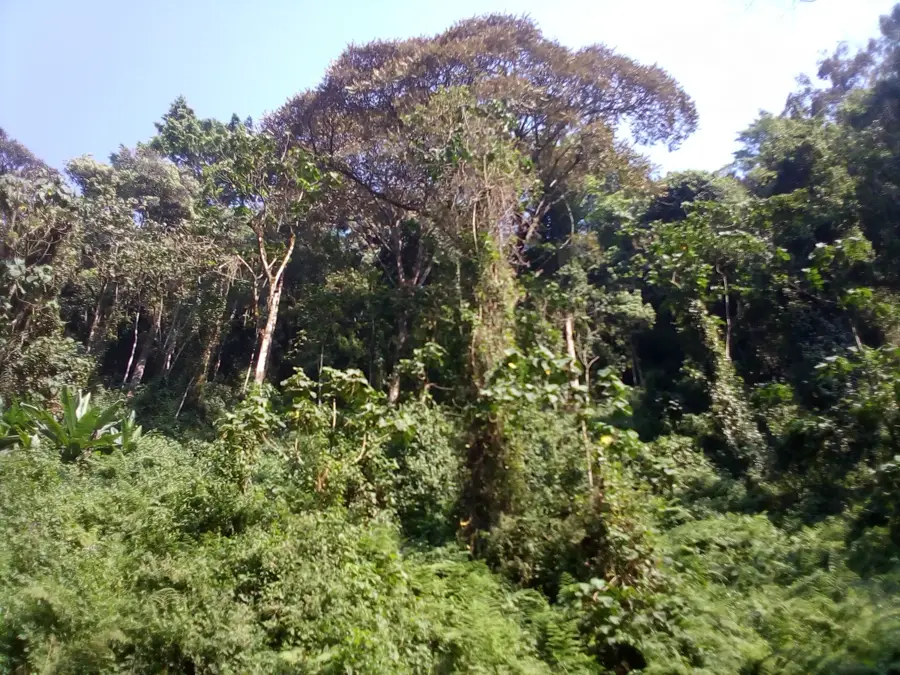
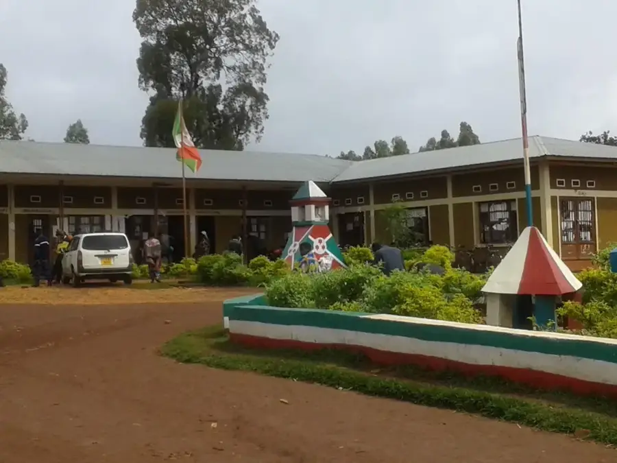
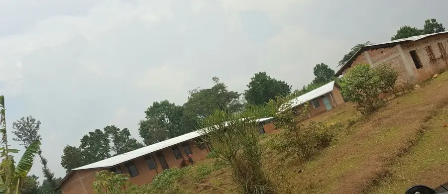
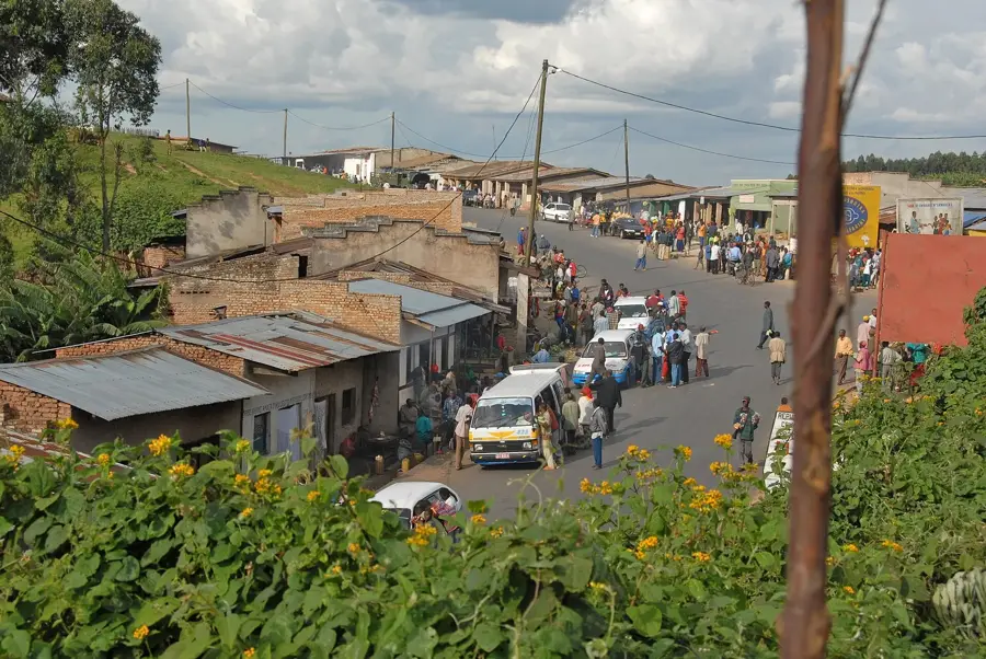
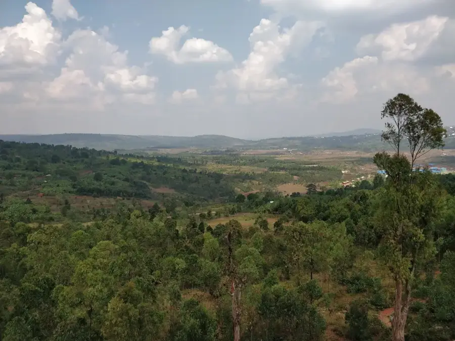
Rango serves as the administrative center of the commune of the same name within the Kayanza Province of northern Burundi. Situated in the fertile eastern African highlands, the area is renowned for its high-altitude agriculture, particularly the cultivation of premium Arabica coffee and tea. The geography is characterized by the rolling hills and deep valleys typical of the Burundian interior, providing a scenic yet challenging terrain for local infrastructure. Historically, Rango was integrated into the traditional socio-economic fabric of the Kingdom of Burundi before becoming a node in the regional agricultural trade during the 20th century. In the modern era, it functions as a vital market town where local farmers trade their harvests and access essential administrative and educational services. The region's climate is relatively mild due to its elevation, with ample rainfall supporting intensive farming practices that sustain the local population.
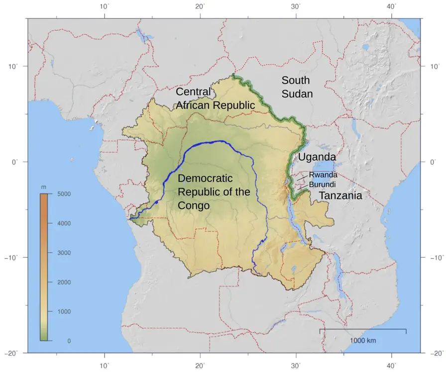
- Location: Burundi
- Nearby: Butaganzwa (8 km)
Best time to visit & climate
The most pleasant time to visit is Jul–Sep.
| Jan | Feb | Mar | Apr | May | Jun | Jul | Aug | Sep | Oct | Nov | Dec | |
|---|---|---|---|---|---|---|---|---|---|---|---|---|
| Avg °C | 20 | 20 | 20 | 19 | 19 | 18 | 18 | 20 | 21 | 21 | 20 | 20 |
| Rain mm | 145 | 120 | 169 | 168 | 78 | 23 | 13 | 30 | 56 | 114 | 230 | 159 |
Geography
Facts
- Located in Kayanza Province at an average elevation of 1,700 meters above sea level.
- The area is a significant contributor to Burundi's national coffee exports.
- Rango is the administrative seat of one of the nine communes in Kayanza.
- The region experiences a tropical highland climate with over 1,200 mm of annual rain.
- Smallholder farming is the primary source of income for the local population.
- The town serves as a collection point for agricultural goods destined for Bujumbura.
Explore nearby
Notable places around
Route planner — Car & Motorhome
Where do you start? We build the route here, with stops and country notes along the way.
© OpenStreetMap contributors · OpenRouteService
Frequently asked questions
What is the main activity in Rango?
How is the medical care?
What are the road conditions like?
Is there electricity in Rango?
Is Rango developed for tourists?
Rango: where is it located?
Rango: when is the best time to visit?
Rango: why is it worth visiting?

Nearby cities


History & landmarks
More places