Plizio Visual Lab
Mount Murungu

Weather…
Water temperature…
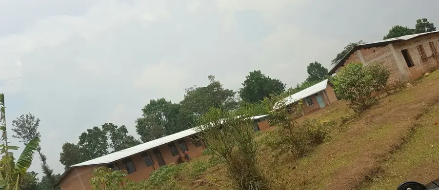
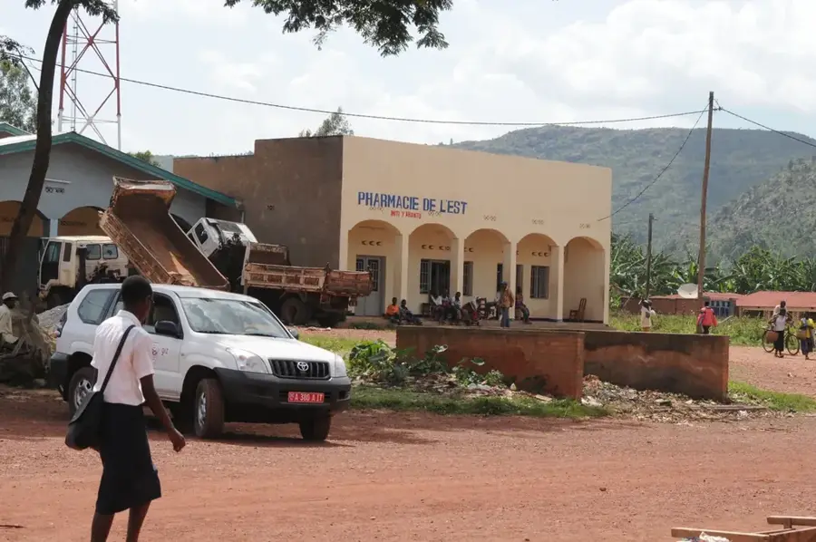
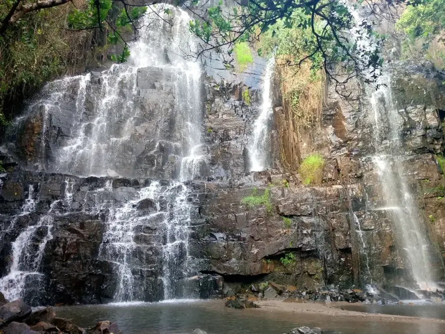
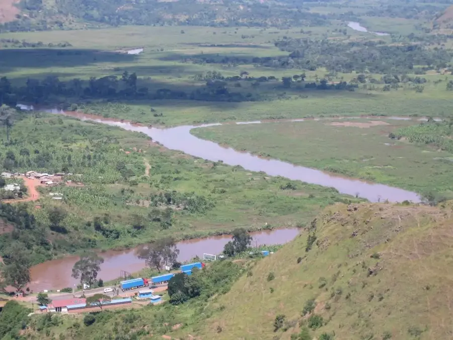
Mount Murungu is a prominent peak in the Burundian highlands, forming part of the mountain range that marks the Congo-Nile divide. With its steep slopes and dense vegetation, it provides a vital sanctuary for local flora and fauna within a densely populated nation. The region surrounding Murungu is famous for its fertile volcanic soils, where farmers primarily cultivate high-quality coffee and bananas. Due to its geographical position, the mountain significantly influences the local microclimate, ensuring regular rainfall for the surrounding valleys. Historically, such heights in Burundi often served as spiritual sites or strategic refuges for local communities during times of unrest. Hiking to the summit rewards visitors with spectacular panoramic views of the rolling hills of central Burundi. In recent years, there has been an increased focus on protecting mountain forests to curb soil erosion on the steep slopes. Mount Murungu stands as a symbol of the rugged and pristine beauty of the African Great Lakes region.
- Location: Burundi
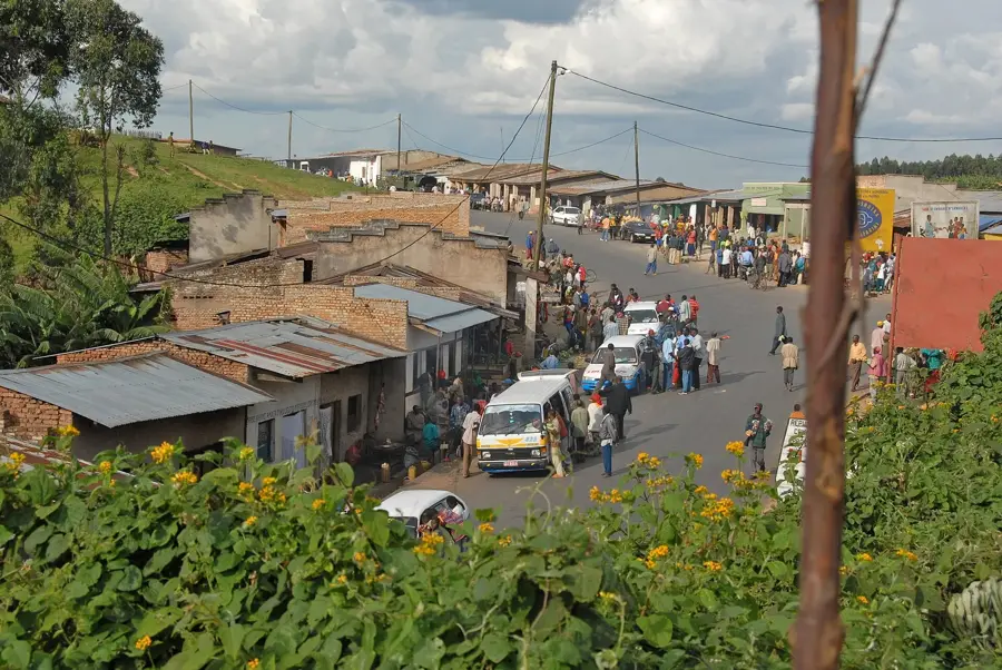
- Nearby: Karuzi (11 km)
Best time to visit & climate
The most pleasant time to visit is Jul–Sep.
| Jan | Feb | Mar | Apr | May | Jun | Jul | Aug | Sep | Oct | Nov | Dec | |
|---|---|---|---|---|---|---|---|---|---|---|---|---|
| Avg °C | 20 | 20 | 20 | 19 | 19 | 18 | 18 | 20 | 21 | 21 | 20 | 20 |
| Rain mm | 145 | 120 | 169 | 168 | 78 | 23 | 13 | 30 | 56 | 114 | 230 | 159 |
📋 Practical info
Geography
Facts
- Part of the Congo-Nile divide
- Located in the central highlands
- Important area for Arabica coffee
- Elevation exceeds 2,000 meters
- Rich in endemic plant species
- Protected area against soil erosion
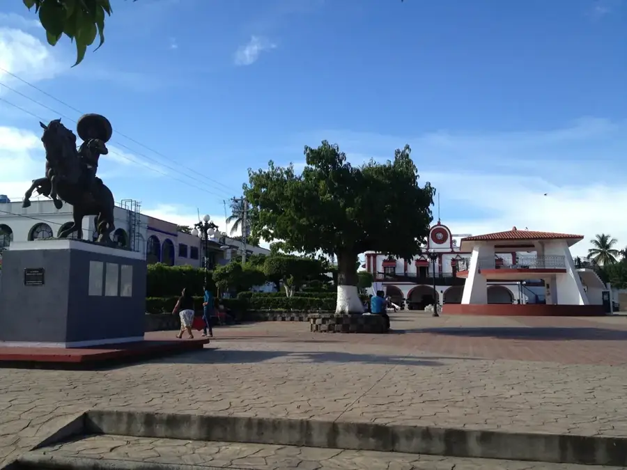
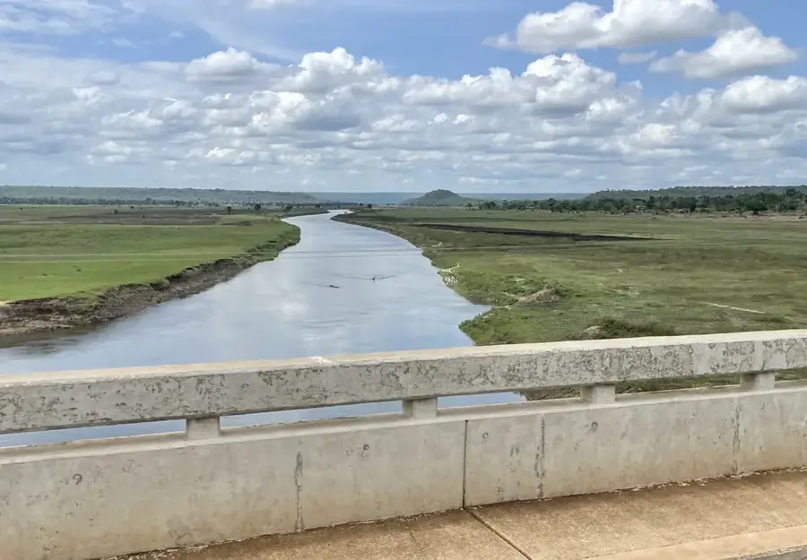
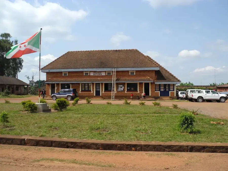
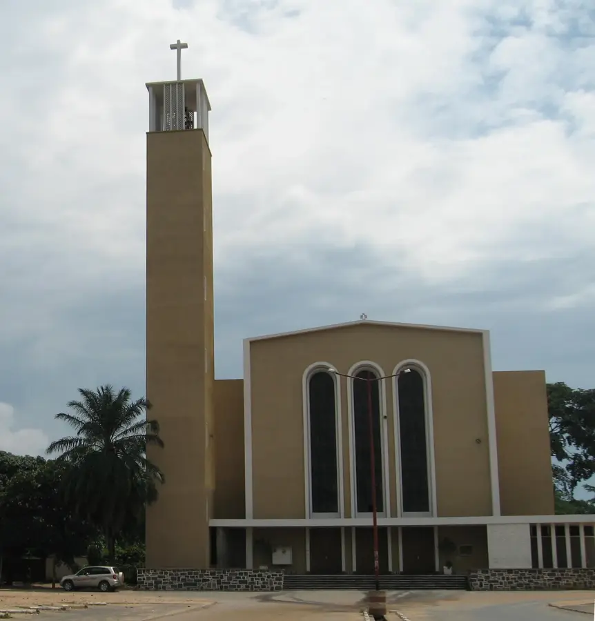
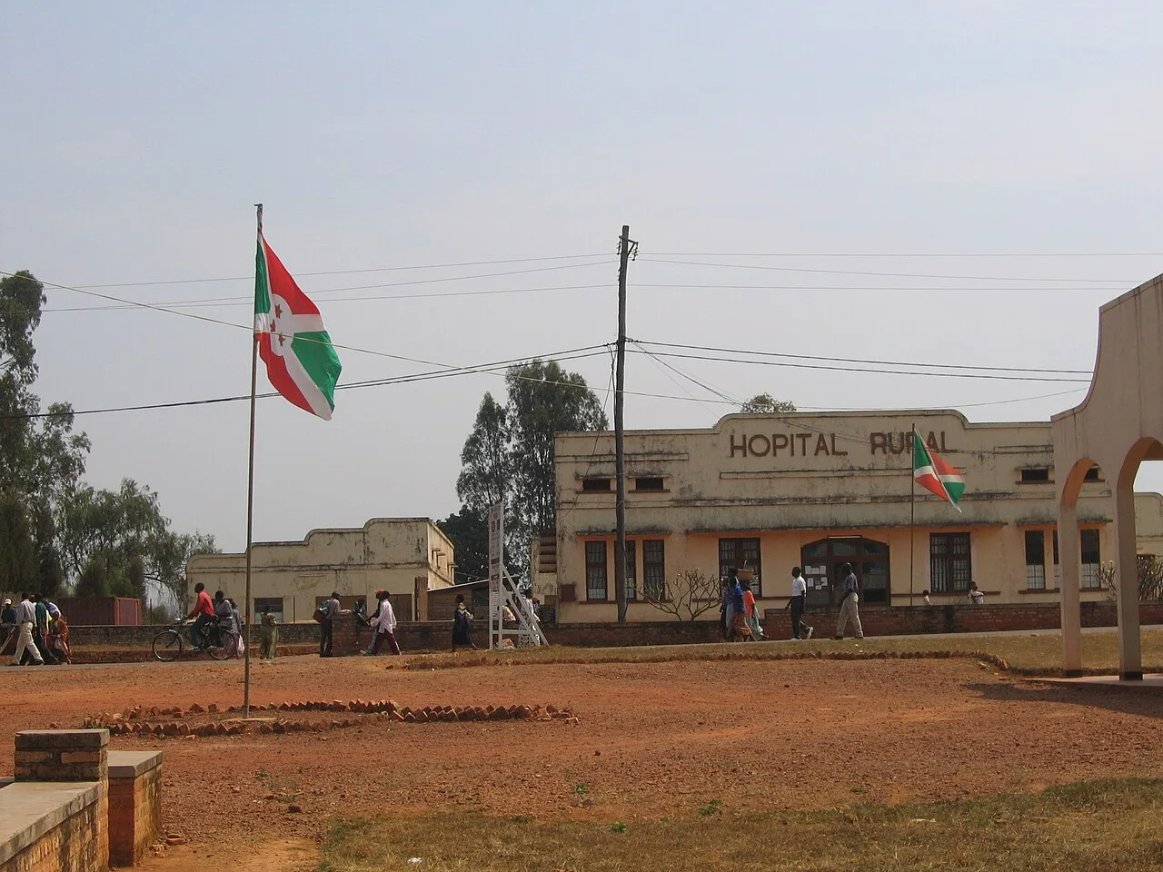
Explore nearby
Notable places around
Route planner — Car & Motorhome
Where do you start? We build the route here, with stops and country notes along the way.
© OpenStreetMap contributors · OpenRouteService
Sights nearby
Frequently asked questions
How high is Murungu Mountain?
Is the hike difficult?
Are there marked trails?
What can you see from the summit?
Is there drinking water on the mountain?
Mount Murungu: where is it located?
Mount Murungu: when is the best time to visit?
Mount Murungu: why is it worth visiting?

Nearby cities


History & landmarks
Nature
More places