Plizio Visual Lab
Mount Kwinkona

Weather…
Water temperature…
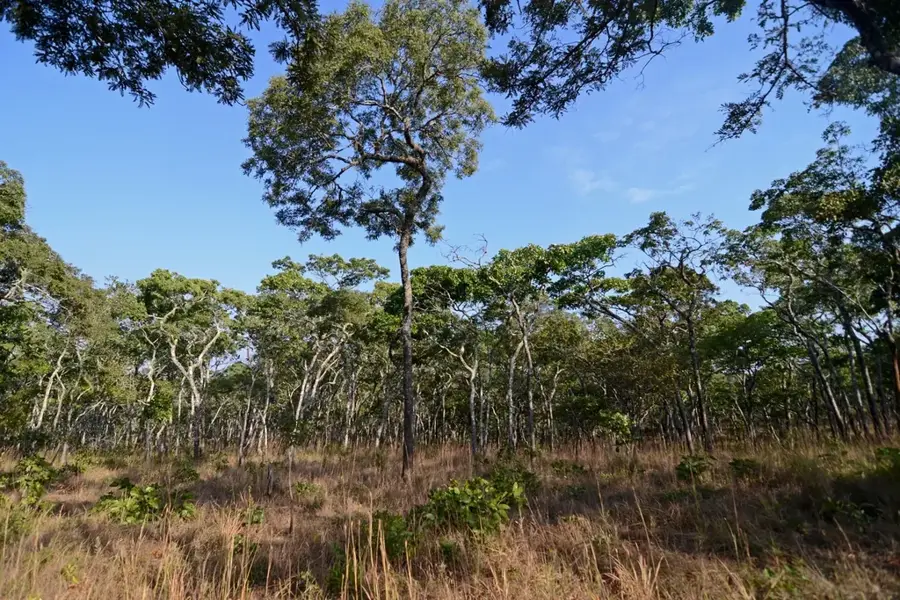
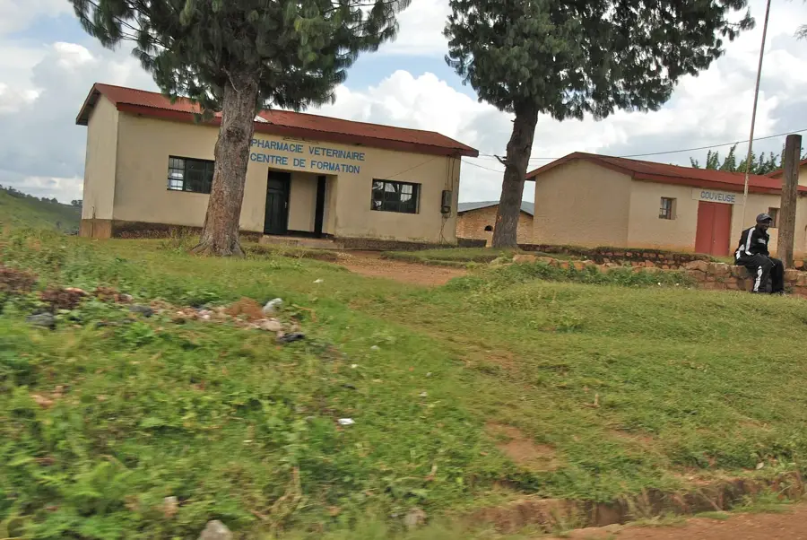
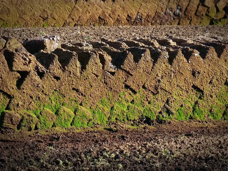
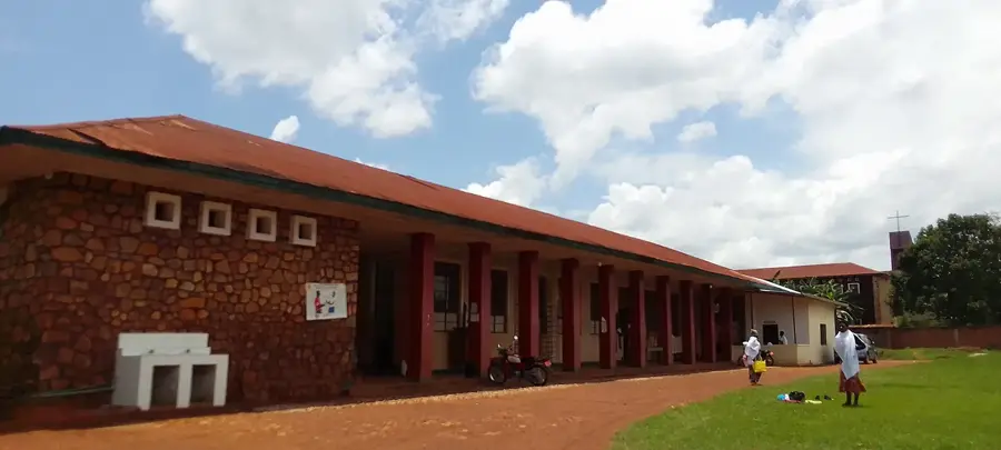
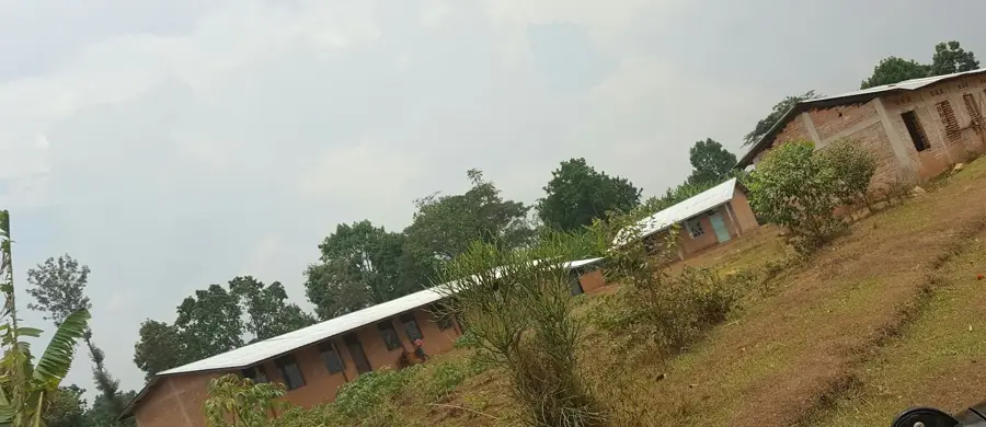
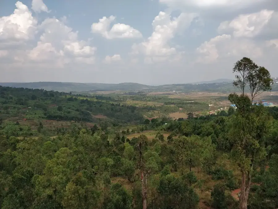
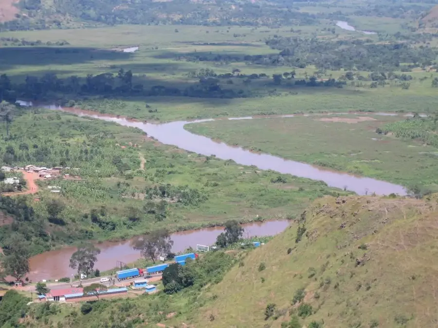
Mount Kwinkona is a prominent elevation in the Burundian highlands, part of the mountain range of the Central African Rift. Standing at over 2,400 meters, it dominates the surrounding landscape and is an important factor in regional weather patterns. The steep slopes of Kwinkona are often exposed to the direct influence of moist air masses from the Congo Basin, resulting in lush, partly still original vegetation. Geologically, the mountain is characterized by crystalline schists and quartzites, which form a robust base for the massif. In the valleys around the mountain live communities relying on livestock farming and agriculture, with Kwinkona anchored as a sacred site in local folklore. The flora includes various types of highland lobelias and ferns that thrive in the cool, moist zones above 2,000 meters. The region is also significant for its role in the local water cycle, as the forest cover at the summit helps retain moisture and feed springs. Hiking in this area requires good preparation due to the steep terrain and changeable weather conditions.
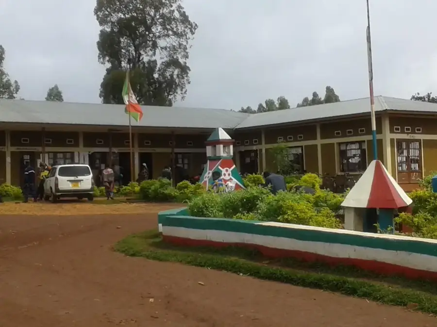
- Location: Burundi
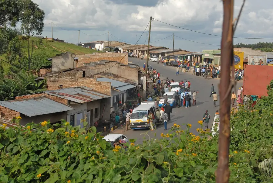
- Nearby: Rango (11 km)
Best time to visit & climate
The most pleasant time to visit is Jul–Sep.
| Jan | Feb | Mar | Apr | May | Jun | Jul | Aug | Sep | Oct | Nov | Dec | |
|---|---|---|---|---|---|---|---|---|---|---|---|---|
| Avg °C | 20 | 20 | 20 | 19 | 19 | 18 | 18 | 20 | 21 | 21 | 20 | 20 |
| Rain mm | 145 | 120 | 169 | 168 | 78 | 23 | 13 | 30 | 56 | 114 | 230 | 159 |
📋 Practical info
Geography
Facts
- The peak elevation exceeds 2,400 meters.
- The mountain belongs to the Central African Rift mountain system.
- Crystalline schists form the geological foundation.
- In local culture, the mountain is considered a spiritual site.
- Highland lobelias grow in the upper vegetation zones.
- The mountain influences the microclimate of the surrounding provinces.
Explore nearby
Notable places around
Route planner — Car & Motorhome
Where do you start? We build the route here, with stops and country notes along the way.
© OpenStreetMap contributors · OpenRouteService
Sights nearby
Frequently asked questions
What is the characteristic feature of Kwinkona Mountain?
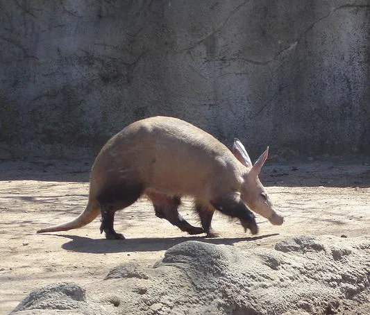
Can you photograph birds there?
Are there hiking trails?
How is the climate?
Are there villages on the mountain?
Mount Kwinkona: where is it located?
Mount Kwinkona: when is the best time to visit?
Mount Kwinkona: why is it worth visiting?

Nearby cities


History & landmarks
Nature
More places