Plizio Visual Lab
Karuzi
ℹ️Practical info — Karuzi
▾
🌤 Weather — 5 days
📍 Nearby
Sights nearby
💡 Tips
- Karuzi is an agricultural hub; visiting during the dry season (June-August) makes road travel much easier.
- French and Kirundi are the primary languages; knowing a few basic phrases in Kirundi goes a long way.
- Public transport can be sporadic, so consider hiring a private vehicle if exploring the wider province.
- Be prepared for a very rural experience with limited tourist infrastructure.
🍽 Food
Cassava leaves cooked with palm oil, often served with beans.
A stiff maize or cassava porridge, the staple accompaniment to local stews.
Goat or beef skewers found at small roadside eateries (maquis) in the town center.
🛍 Shopping · 🧘 Quiet spots
A lively market where farmers sell fresh produce, grains, and colorful fabrics.
Look for traditional Burundian basketry sold by local craftswomen.
The surrounding hillsides offer peaceful walks among cultivated fields.
The riverbanks provide a calm natural setting away from the town center.
Water temperature…
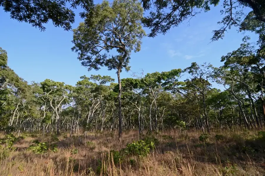
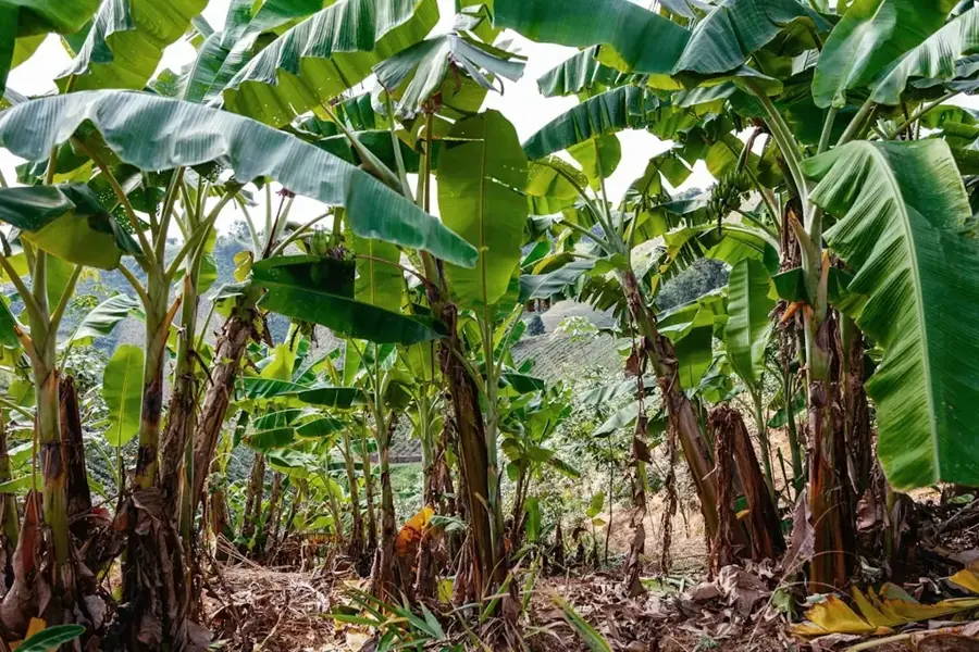
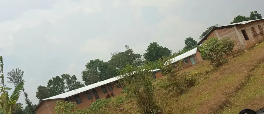
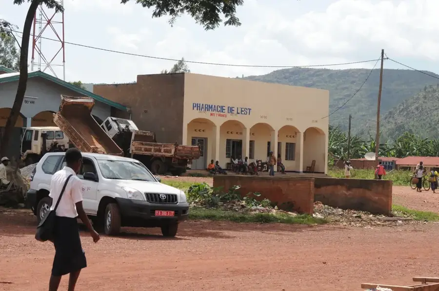
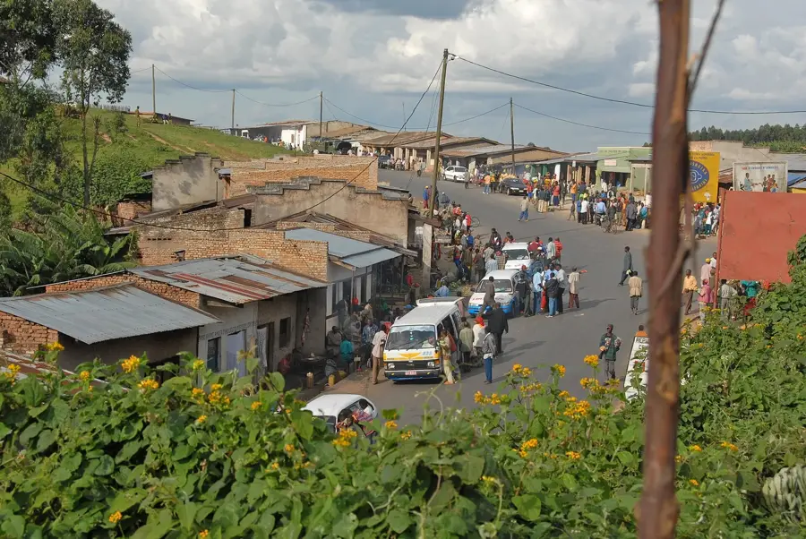
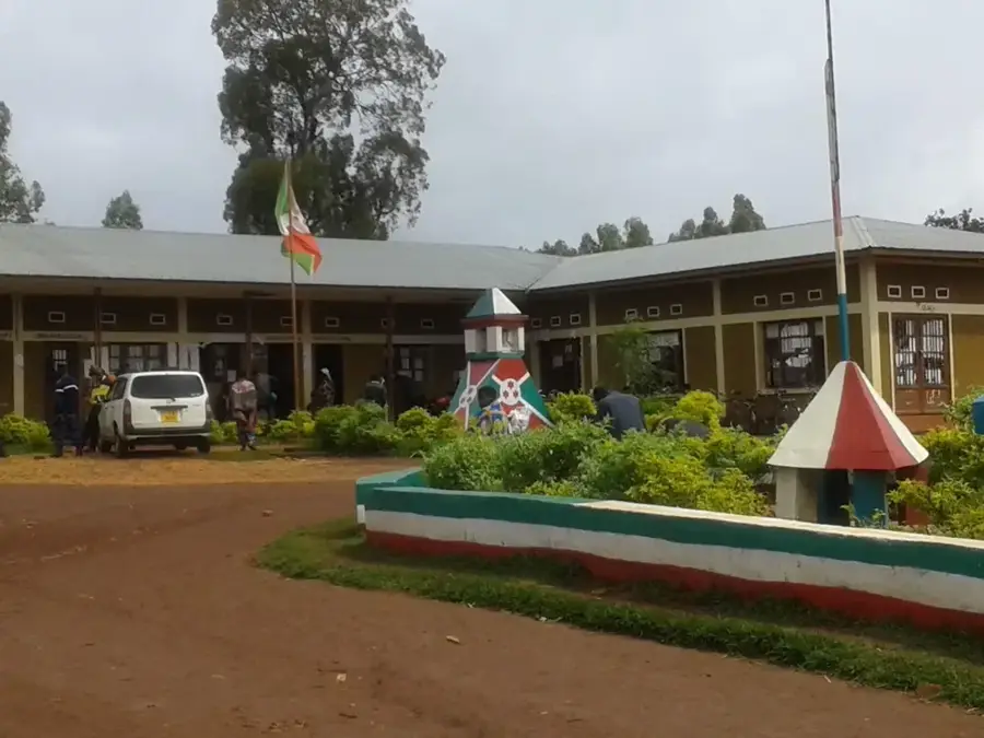
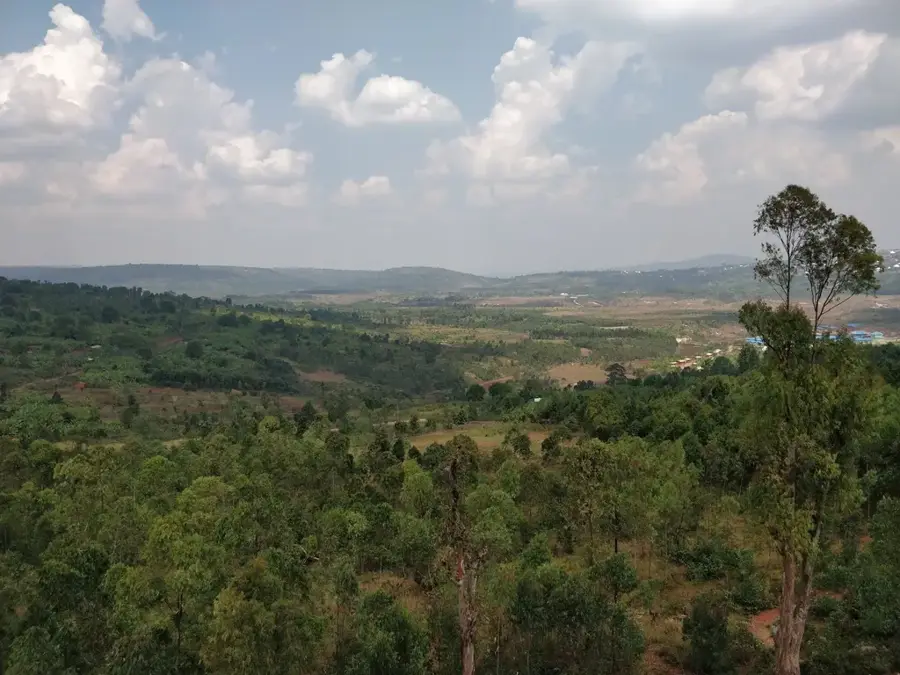
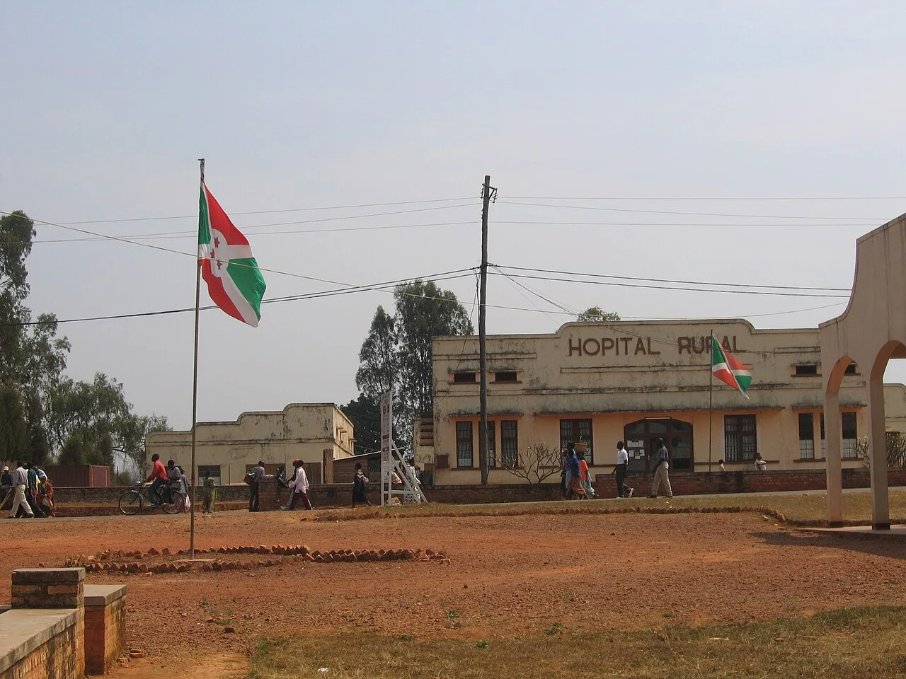
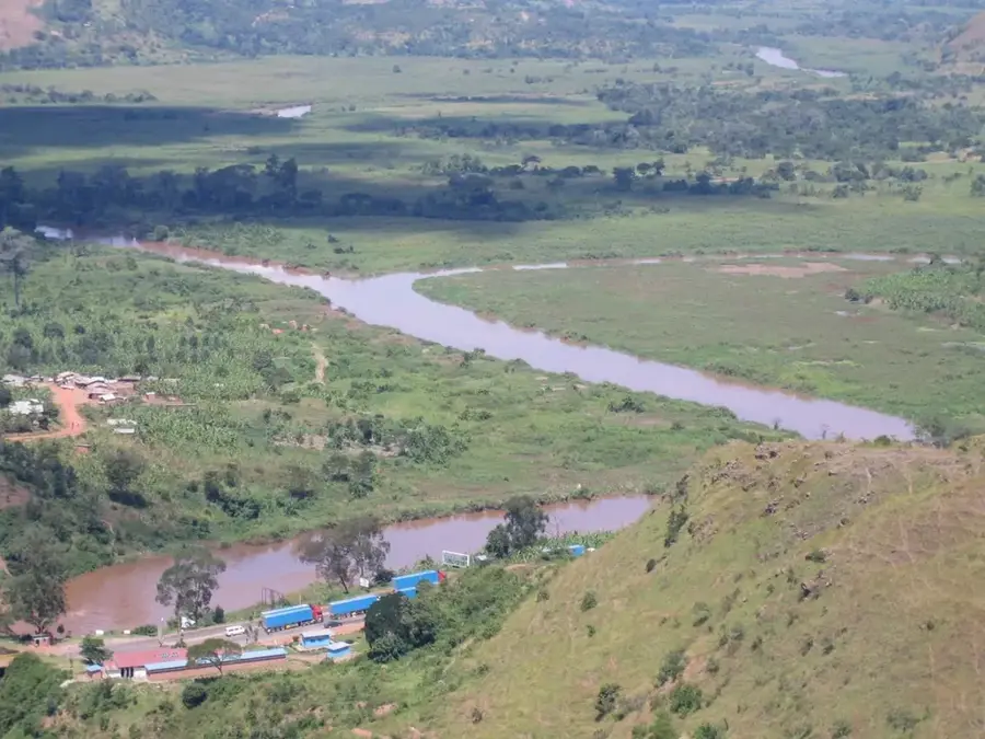
Karuzi is located in the heart of Burundi and serves as the administrative center of Karuzi Province. The town is situated in a hilly highland region at an elevation of about 1,600 meters and is a central component of the Burundian plateau. Karuzi is primarily agricultural, with the cultivation of coffee, bananas, and various legumes forming the basis of local livelihoods. The region is known for its high population density and the small-scale terrace farming that defines the slopes of the surrounding hills. Historically, Karuzi has been a key site for social development projects and health initiatives aimed at strengthening rural infrastructure in the center of the country. The town functions as a significant market center where produce from the surrounding countryside is traded. Karuzi also benefits from its position along the roads connecting the cities of Gitega and Muyinga, facilitating regional commodity exchange.
- Location: Burundi
- Nearby: Mutaho (24 km)
- Population: ~15.964 (2026)
Best time to visit & climate
The most pleasant time to visit is Jul–Sep.
| Jan | Feb | Mar | Apr | May | Jun | Jul | Aug | Sep | Oct | Nov | Dec | |
|---|---|---|---|---|---|---|---|---|---|---|---|---|
| Avg °C | 20 | 20 | 20 | 19 | 19 | 18 | 18 | 20 | 21 | 21 | 20 | 20 |
| Rain mm | 145 | 120 | 169 | 168 | 78 | 23 | 13 | 30 | 56 | 114 | 230 | 159 |
Geography
Facts
- Karuzi is located at an average elevation of 1,600 meters.
- The town is a central trading hub for agricultural products.
- Coffee is the most important export commodity of Karuzi Province.
- The region is home to several large mission hospitals.
- Karuzi is situated about 50 km northeast of the new capital, Gitega.
- Terrace farming is the predominant cultivation method in the area.
Explore nearby
Notable places around
Route planner — Car & Motorhome
Where do you start? We build the route here, with stops and country notes along the way.
© OpenStreetMap contributors · OpenRouteService
Frequently asked questions
Where is Karuzi located?
What is the economic basis of Karuzi?
Is it worth visiting for tourists?
What is the terrain like in Karuzi?
Are there markets in Karuzi?
Karuzi: where is it located?
Karuzi: when is the best time to visit?
Karuzi: why is it worth visiting?

Nearby cities


History & landmarks

Nature
More places