Plizio Visual Lab
Ruyigi

ℹ️Practical info — Ruyigi
▾
🌤 Weather — 5 days
📍 Nearby
Sights nearby
💡 Tips
- Moto-taxis are the fastest and most reliable way to navigate this somewhat spread-out town.
- Visit the bustling central market on weekends to experience authentic local agricultural trade.
- The town is a major eastern transport hub, making it easy to find minibuses to Gitega.
- Carry small denominations of Burundian francs to pay for street snacks and moto rides.
- Electricity and Wi-Fi can be intermittent, so download necessary offline maps beforehand.
🍽 Food
Mashed cassava leaves often cooked with small fish or meat, available at local restaurants.
Fresh fish brought inland, best enjoyed grilled at larger local dining spots.
A dense, fulfilling local staple bread found in bakeries and market stalls.
🛍 Shopping · 🧘 Quiet spots
The weekend market is the great place to buy the region's core agricultural staples.
Browse the craft stalls for utilitarian and decorative local wood carvings.
The town's large missionary and church areas often feature very peaceful, shaded gardens.
Wander just outside the town's edge to walk along quiet paths dividing local farmlands.
Water temperature…
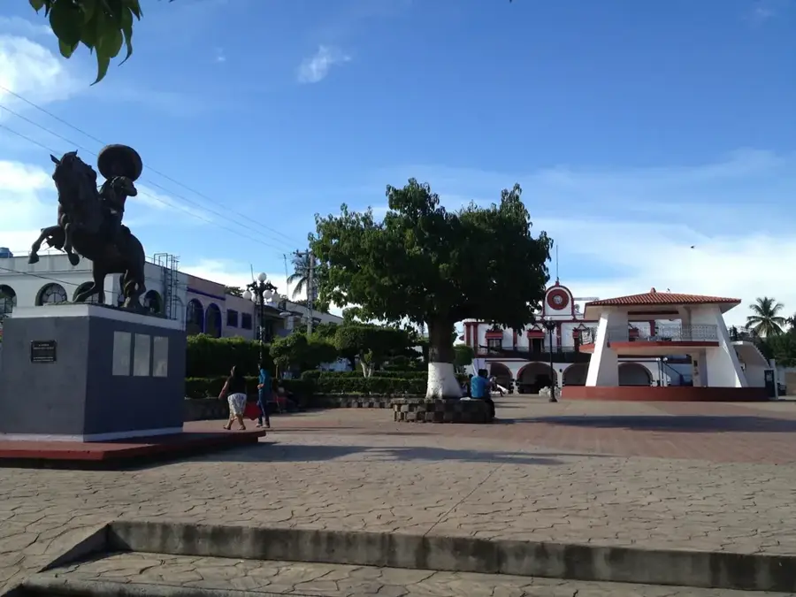
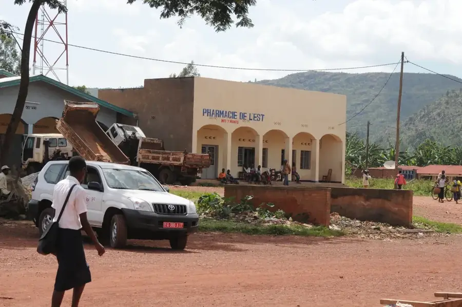
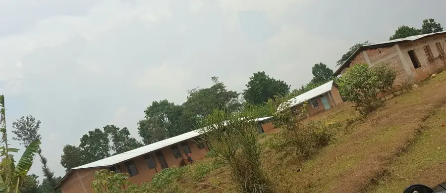
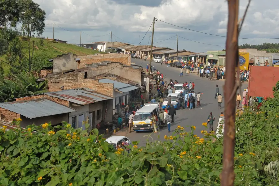
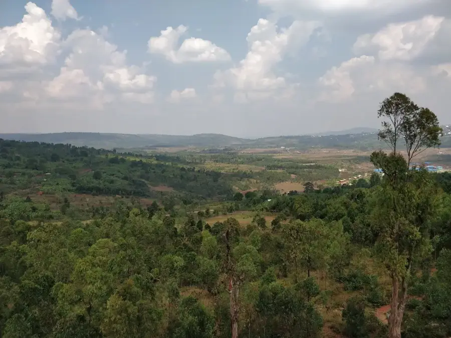
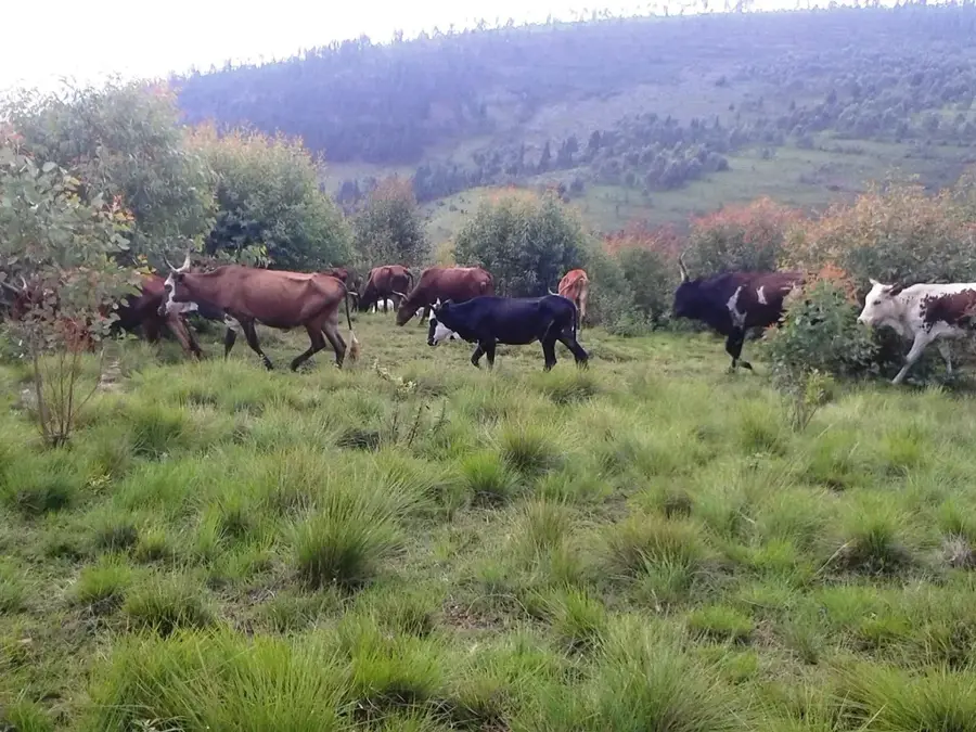
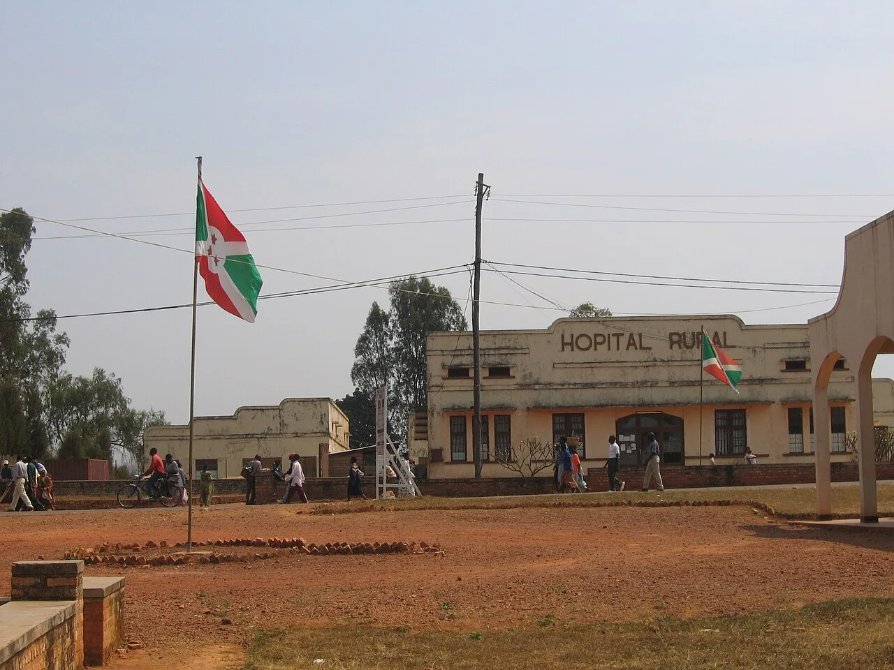
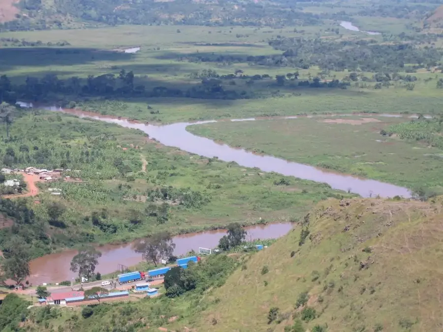
Ruyigi is located in eastern Burundi and serves as the capital of the geographically significant province of the same name. The town is situated at an elevation of about 1,750 meters and acts as an important regional center connecting the central highlands with the drier plains of the east. The economy of Ruyigi is largely based on agriculture, with coffee, beans, and maize being the primary products. A notable feature of the town is the presence of humanitarian organizations and social institutions, such as Maison Shalom, which played a vital role in reconstruction and orphan care following the civil war. Historically, Ruyigi was a strategic point for the administration of the eastern provinces during the mandate era. The town's architecture reflects this administrative importance, with several government buildings and schools defining the cityscape. Ruyigi also serves as a trading post for agricultural commodities transported toward the Tanzanian border.
- Location: Burundi
- Nearby: Itaba (27 km)
- Population: ~11.046 (2026)
Best time to visit & climate
The most pleasant time to visit is Jun–Aug.
| Jan | Feb | Mar | Apr | May | Jun | Jul | Aug | Sep | Oct | Nov | Dec | |
|---|---|---|---|---|---|---|---|---|---|---|---|---|
| Avg °C | 21 | 22 | 21 | 21 | 21 | 20 | 20 | 22 | 24 | 23 | 22 | 21 |
| Rain mm | 178 | 144 | 186 | 176 | 76 | 18 | 10 | 24 | 43 | 101 | 253 | 185 |
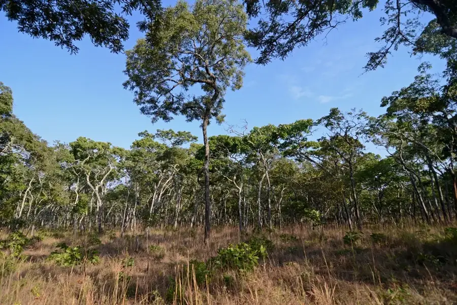
Geography
Facts
- Ruyigi is located at an altitude of approximately 1,750 meters.
- The town is the seat of the Roman Catholic Diocese of Ruyigi.
- Maison Shalom is an internationally recognized local social institution.
- The region is a significant producer of dried beans.
- Ruyigi is well connected to Gitega via the RN13 highway.
- Ruyigi Province shares a border with Tanzania to the east.
Explore nearby
Notable places around
Route planner — Car & Motorhome
Where do you start? We build the route here, with stops and country notes along the way.
© OpenStreetMap contributors · OpenRouteService
Frequently asked questions
What can you see in Ruyigi?
Are there any cultural centers?
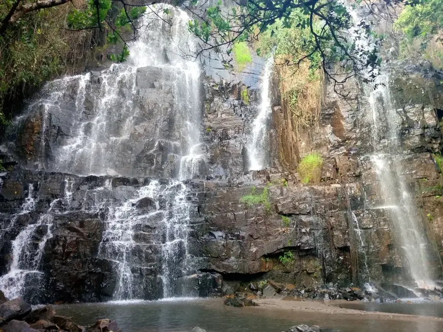
What is the landscape around Ruyigi like?
What is the main product of the region?
Is Ruyigi suitable for hiking?
Ruyigi: where is it located?
Ruyigi: when is the best time to visit?
Ruyigi: why is it worth visiting?

Nearby cities


History & landmarks
Nature
More places