Plizio Visual Lab
Bugendana

ℹ️Practical info — Bugendana
▾
🌤 Weather — 5 days
📍 Nearby
Sights nearby
💡 Tips
- Visit the Bugendana market on its main market day for a truly spirited local experience.
- Transportation is mainly by bicycle taxis or motos; negotiate the price before boarding.
- The dry season from June to August is the best and safest time for rural walks.
- Pay your respects at the historical memorial sites located in the area.
- Cash is the only way to pay, ensure you have small denominations handy.
🍽 Food
Grilled meat skewers commonly offered at local bars and roadside stands.
A hearty plantain stew served in modest local village eateries.
The traditional staple food of the region, available almost everywhere.
🛍 Shopping · 🧘 Quiet spots
The best place to buy local agricultural products, beans, and grains.
Look out for hand-woven mats and baskets made by local residents.
Enjoy peaceful, panoramic views of the beautiful Burundi countryside.
Quiet unpaved roads first-rate for a refreshing early morning walk.
Water temperature…
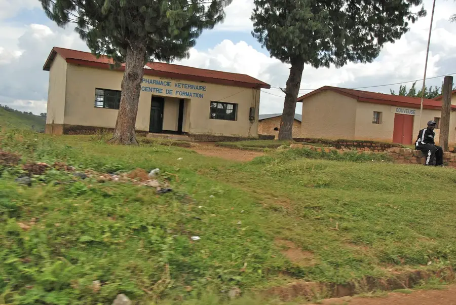
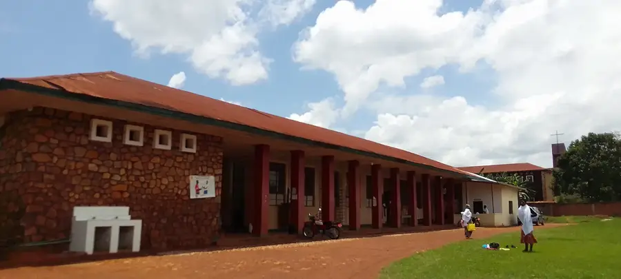
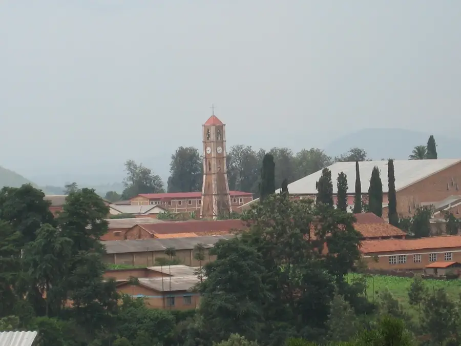
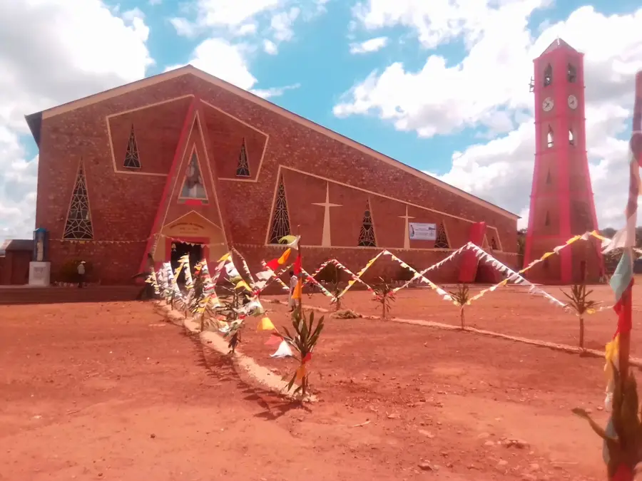
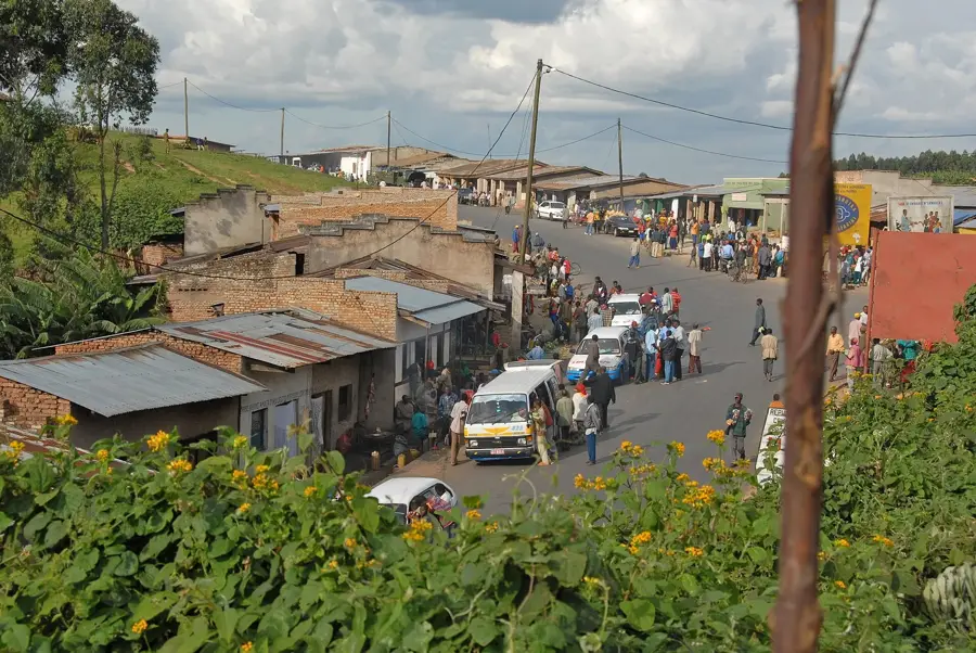
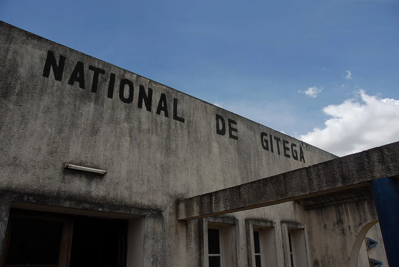
Bugendana is a historically and strategically significant town in Gitega Province, located in the geographic center of Burundi. It is best known for its airfield, which served as one of the country's key aviation sites prior to major infrastructure expansions in Gitega. The town is situated on a broad high plateau surrounded by an impressive hilly landscape. Historically, the region has been a focal point for important political and social developments in post-colonial Burundi. Economically, Bugendana is heavily reliant on agriculture, particularly the cultivation of cassava, beans, and maize. In recent years, the town has grown in importance due to its location along the vital road link leading to the northern parts of the country. Bugendana also hosts significant educational institutions and religious centers that shape the cultural life of the area. The community is actively involved in sustainable land management projects to preserve the fertility of the hills for future generations.
- Location: Burundi
- Nearby: Mutaho (7 km)
Best time to visit & climate
The most pleasant time to visit is Jul–Sep.
| Jan | Feb | Mar | Apr | May | Jun | Jul | Aug | Sep | Oct | Nov | Dec | |
|---|---|---|---|---|---|---|---|---|---|---|---|---|
| Avg °C | 20 | 20 | 20 | 19 | 19 | 18 | 18 | 20 | 21 | 21 | 20 | 20 |
| Rain mm | 145 | 120 | 169 | 168 | 78 | 23 | 13 | 30 | 56 | 114 | 230 | 159 |
Geography
Facts
- Bugendana is located approximately 20 kilometers north of Gitega city.
- The Bugendana airfield was historically used for domestic and military aviation.
- The town sits at an elevation of about 1,650 meters above sea level.
- Cassava is the most important staple food crop grown in the region.
- Bugendana was the site of a tragic massacre in 1996 during the Burundian Civil War.
- The area is a recognized center for the trade of traditionally woven baskets.
Explore nearby
Notable places around
Route planner — Car & Motorhome
Where do you start? We build the route here, with stops and country notes along the way.
© OpenStreetMap contributors · OpenRouteService
Sights in the town Bugendana (1)
Frequently asked questions
What is the significance of Bugendana?
Where is Bugendana located?
What is the landscape like?
Are there settlements there?
What is mainly produced there?
Bugendana: where is it located?
Bugendana: when is the best time to visit?
Bugendana: why is it worth visiting?

Nearby cities


History & landmarks
More places