Plizio Visual Lab
Kibondo

ℹ️Practical info — Kibondo
▾
🌤 Weather — 5 days
📍 Nearby
Sights nearby
💡 Tips
- Carry your identification at all times due to the proximity to the Burundi border; checkpoints are frequent.
- Avoid driving after dark due to poor road conditions and potential safety risks in remote areas.
- Always use mosquito nets; the region is a high-risk zone for malaria.
- Bring enough cash in Tanzanian Shillings, as reliable ATMs are very scarce here.
- Be prepared for police checkpoints along the main road and always remain polite and patient.
🍽 Food
A nutritious staple meal served in small local eateries in the town center.
Small dried fish from Lake Tanganyika, often prepared in a spicy sauce.
Both plantains for cooking and sweet varieties are sold fresh at the daily market.
🛍 Shopping · 🧘 Quiet spots
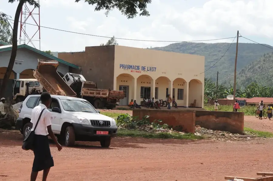
An interesting place to see a mix of Tanzanian and Burundian goods and produce.
Find colorful fabrics at the market, which are commonly worn by locals in this region.
Walks on the outskirts of town offer a glimpse into quiet, traditional country life.
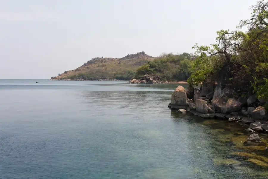
The hills surrounding the town offer vast and quiet views toward the Burundi border.
Water temperature…
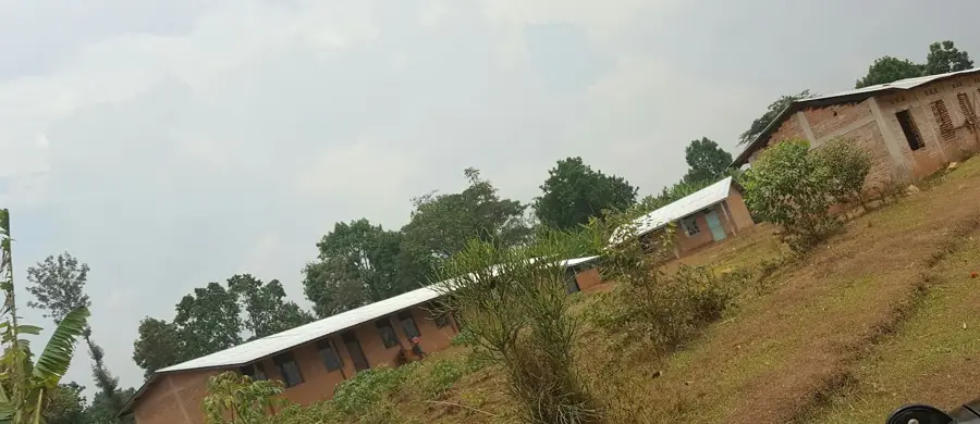
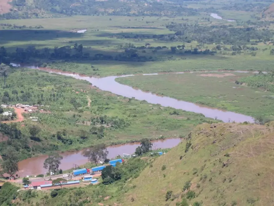
Kibondo is a significant administrative center in the Kigoma Region of northwestern Tanzania, located in close proximity to the border with Burundi. The town sits on a fertile plateau at an altitude of approximately 1,400 meters and is surrounded by a hilly landscape extensively used for agriculture. Historically, the area gained international attention for hosting numerous refugees from neighboring countries, with camps such as Nduta significantly influencing local demographics and infrastructure. The economy is primarily based on the cultivation of maize, beans, and tobacco, alongside growing cross-border trade. As a junction on the B3 highway, Kibondo serves as a vital logistical hub for goods moving toward the western part of the country. The town also functions as a central provider of educational and medical services within the Kibondo District.
- Location: Tanzania
- Top sights: Kibondo Mjini · Kumwambu
- Nearby: Ngara (90 km)
- Population: ~28.666 (2018)
Best time to visit & climate
The most pleasant time to visit is Jun–Aug.
| Jan | Feb | Mar | Apr | May | Jun | Jul | Aug | Sep | Oct | Nov | Dec | |
|---|---|---|---|---|---|---|---|---|---|---|---|---|
| Avg °C | 21 | 22 | 21 | 21 | 21 | 20 | 20 | 22 | 24 | 23 | 22 | 21 |
| Rain mm | 178 | 144 | 186 | 176 | 76 | 18 | 10 | 24 | 43 | 101 | 253 | 185 |
Geography
Facts
- Kibondo is situated at an average altitude of approximately 1,400 meters.
- The town is the administrative headquarters of the Kibondo District.
- The B3 highway connects the town with the rest of Tanzania's road network.
- The significant Nduta refugee camp is located in the vicinity.
- The local economy is dominated by tobacco and maize cultivation.
- Kibondo is located only about 30 kilometers east of the Burundi border.
Explore nearby
Notable places around
Route planner — Car & Motorhome
Where do you start? We build the route here, with stops and country notes along the way.
© OpenStreetMap contributors · OpenRouteService
Sights in the town Kibondo (2)
Frequently asked questions
How long to stay in Kibondo?
When is the best time for Kibondo?
How to travel to Kibondo?
What is typical for the gastronomy in Kibondo?
Is Kibondo family-friendly?
Kibondo: where is it located?
Kibondo: what is there to see?
Kibondo: when is the best time to visit?
Kibondo: why is it worth visiting?

Nearby cities


History & landmarks
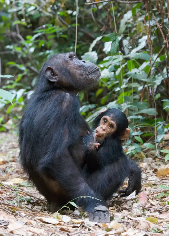
Nature
More places