Plizio Visual Lab
Vrtoče
Weather…
Water temperature…
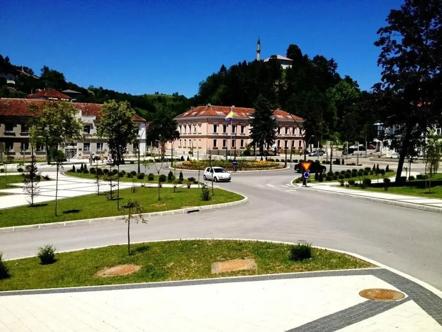
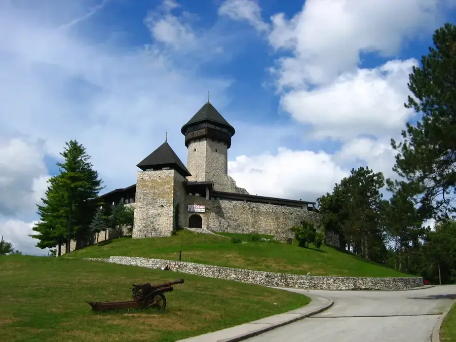
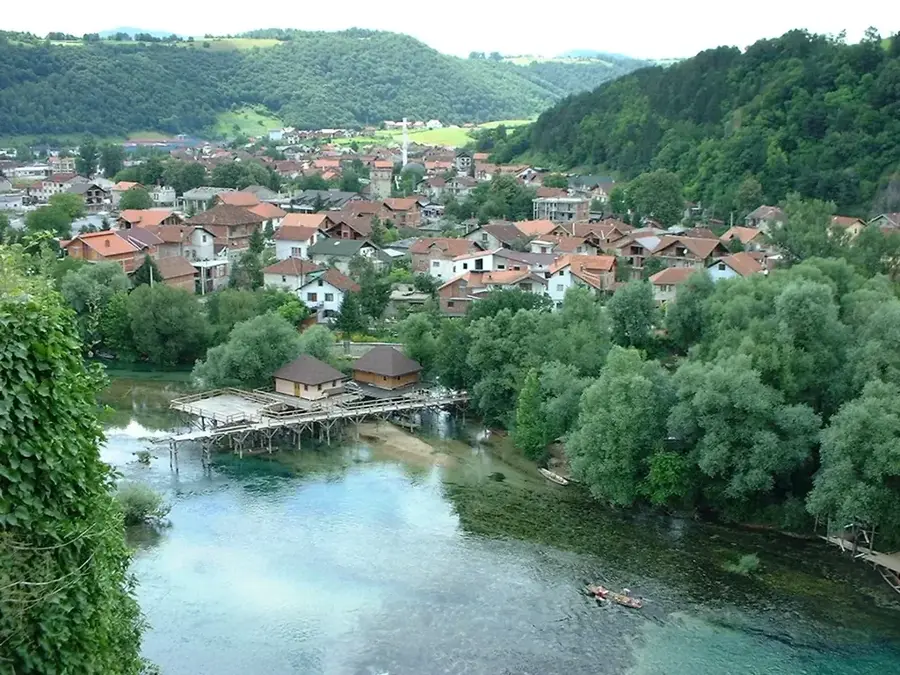
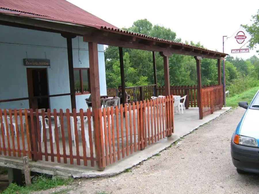
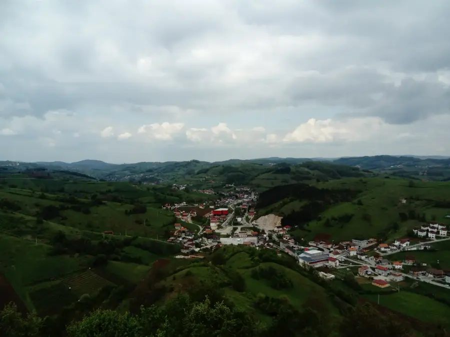
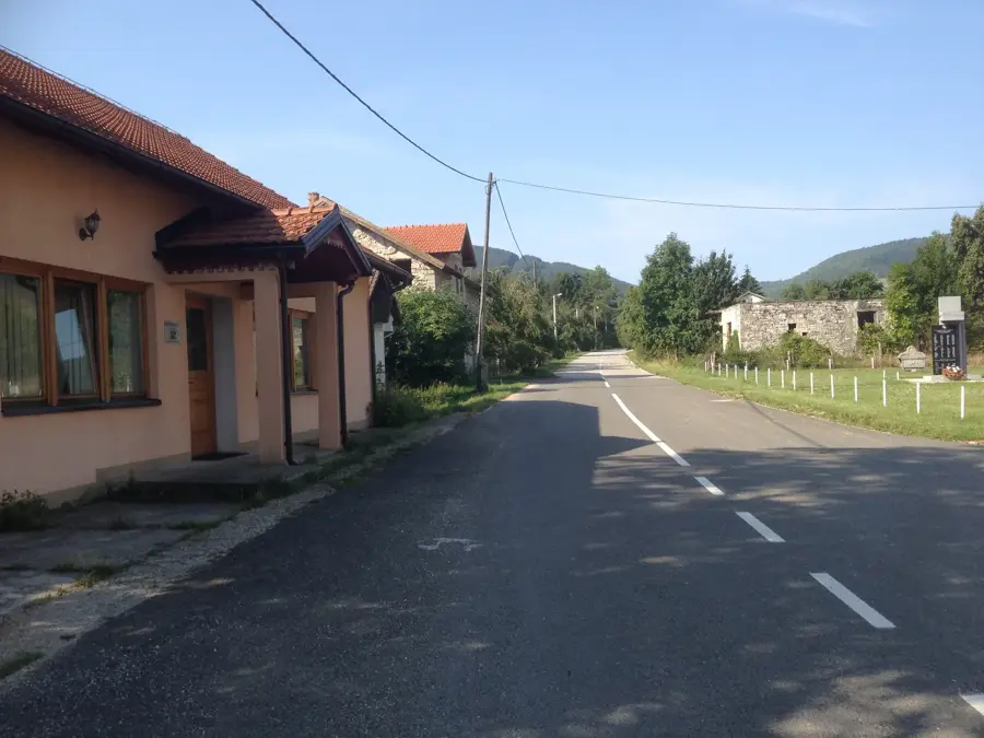
Vrtoče is a geologically and historically significant region within the Bosanski Petrovac municipality in northwestern Bosnia and Herzegovina. Situated in the expansive Petrovacko Polje karst basin, the area is surrounded by prominent mountains such as Osječenica and Grmeč. The landscape is characterized by fertile plains that nonetheless display typical karst phenomena, including swallow holes and seasonal water pooling. Historically, Vrtoče has been an important settlement site since antiquity, evidenced by the remains of Illyrian hillforts (gradine) and medieval necropolises. For centuries, the region was a crossroads for ancient trade routes linking the Bosnian hinterland with the Adriatic coast. Today, Vrtoče is primarily known for its traditional rural architecture and sustainable tourism, where visitors appreciate the pristine natural environment and local hospitality. Agriculture, particularly buckwheat cultivation and livestock farming, continues to play a central role in the lives of the local population. The region also features excellent opportunities for birdwatching in the adjacent wetlands of the karst field.
- Location: Bosnia and Herzegovina
- Nearby: Štrbački Buk (14 km)
Best time to visit & climate
The most pleasant time to visit is Jun–Aug.
| Jan | Feb | Mar | Apr | May | Jun | Jul | Aug | Sep | Oct | Nov | Dec | |
|---|---|---|---|---|---|---|---|---|---|---|---|---|
| Avg °C | -1 | 0 | 4 | 9 | 13 | 17 | 19 | 20 | 14 | 10 | 5 | 1 |
| Rain mm | 92 | 92 | 80 | 82 | 89 | 76 | 54 | 71 | 113 | 105 | 129 | 109 |
📋 Practical info
Geography
Facts
- Vrtoče is located in a karst field at an elevation of 600 to 700 meters.
- Remains of the ancient Illyrian fortress 'Gradina' are located nearby.
- The region is locally famous for high-quality buckwheat production.
- The nearby Osječenica mountain is a popular destination for hikers.
- The climate is characterized by cold winters and mild, dry summers.
- Traditional houses in the area often feature oak beams and local limestone.
Explore nearby
Notable places around
Route planner — Car & Motorhome
Where do you start? We build the route here, with stops and country notes along the way.
© OpenStreetMap contributors · OpenRouteService
Sights nearby
Frequently asked questions
What is Vrtoče?
Is there tourist accommodation there?
What can you do in Vrtoče?
How is the accessibility?
Is it worth a stop for families?
Vrtoče: where is it located?
Vrtoče: when is the best time to visit?
Vrtoče: why is it worth visiting?
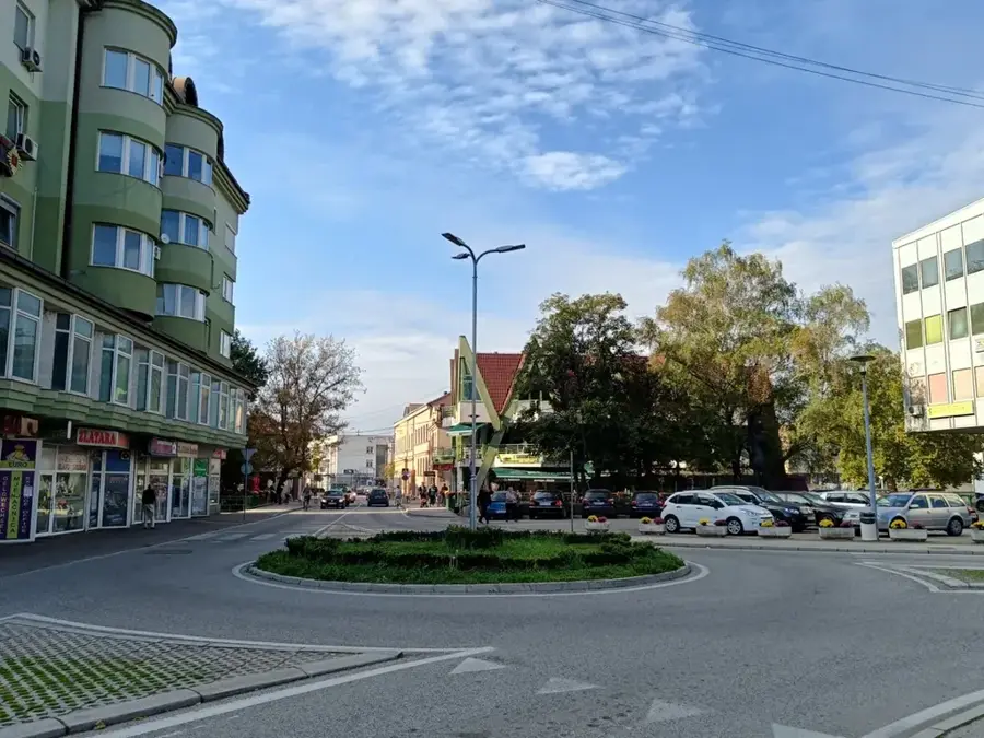
Nearby cities