Plizio Visual Lab
Vrbas
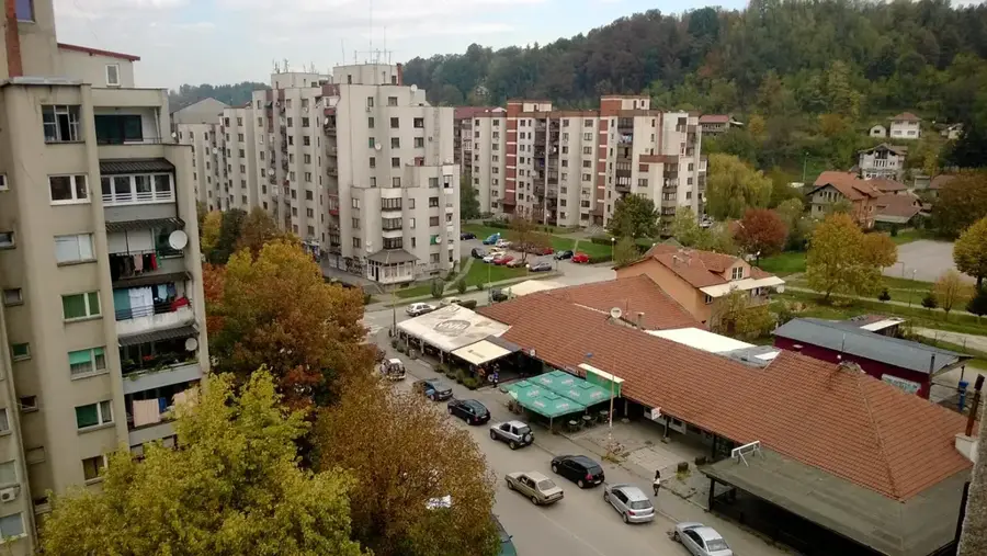
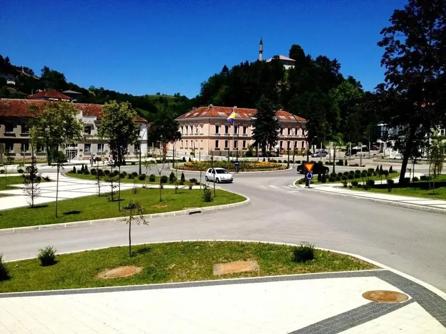
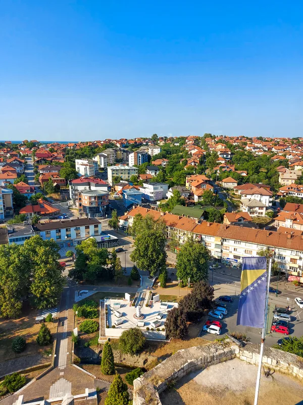
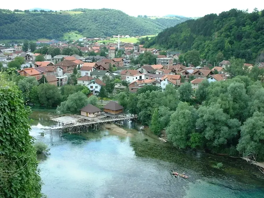
The Vrbas is a major right tributary of the Sava River in western Bosnia and Herzegovina, flowing for approximately 235 kilometers. It originates on Mount Zec at an altitude of 1,530 meters and travels northward through towns such as Gornji Vakuf, Jajce, and Banja Luka. The river is famous for its dramatic canyons and narrow gorges carved through the Dinaric karst landscape. One of its most spectacular features is the 22-meter high waterfall in Jajce, where the Pliva River joins the Vrbas in a remarkable urban natural setting. The Vrbas is a world-class destination for water sports and has hosted the World Rafting Championship due to its challenging and pristine rapids. Economically, the river is a vital source of hydroelectric power, with several dams and reservoirs like Lake Bočac regulating its flow. Despite industrial use, the river remains an important habitat for aquatic life and a central feature of the cultural and social life in Banja Luka.
- Location: Bosnia and Herzegovina
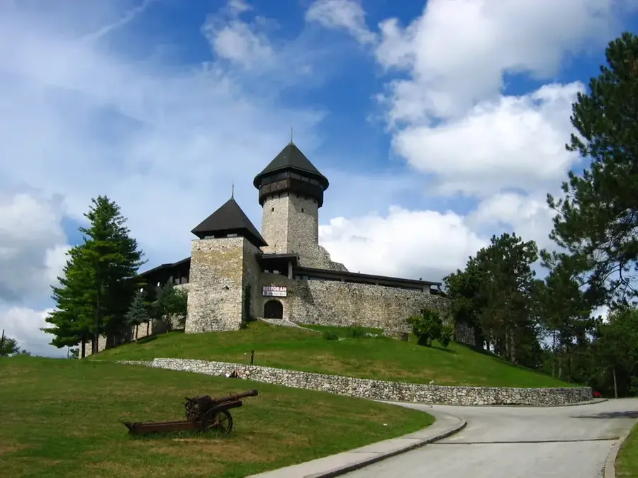
- Top sights: Kastel fortress · Rimska bazilika · Outdoor theatre
- Nearby: Laktaši (18 km)
Best time to visit & climate
The most pleasant time to visit is Jun–Aug.
| Jan | Feb | Mar | Apr | May | Jun | Jul | Aug | Sep | Oct | Nov | Dec | |
|---|---|---|---|---|---|---|---|---|---|---|---|---|
| Avg °C | 0 | 2 | 6 | 11 | 16 | 20 | 22 | 22 | 17 | 12 | 7 | 1 |
| Rain mm | 68 | 68 | 67 | 71 | 95 | 86 | 67 | 73 | 100 | 84 | 86 | 77 |
📋 Practical info
Geography
Facts
- The Vrbas River has a total length of 235 kilometers.
- The river's source is located on Zec Mountain at 1,530 meters elevation.
- The waterfall in Jajce is approximately 22 meters high.
- The river hosted the World Rafting Championship in 2009 and 2024.
- The Bočac hydroelectric dam has a total height of 66 meters.
- The Vrbas joins the Sava River near the border town of Srbac.
Explore nearby
Notable places around
Route planner — Car & Motorhome
Where do you start? We build the route here, with stops and country notes along the way.
© OpenStreetMap contributors · OpenRouteService
Sights in the town Vrbas (10)
ŠIPAD 2
Historic steam locomotive O&K 892/1902 in Banja Luka.
Muzej Republike Srpske🏛 museum
Museum of history and culture of Republika Srpska in Banja Luka.
Dječije pozorište Republike Srpske
Children's theatre of Republika Srpska in Banja Luka.
Gradsko pozorište Jazavac
City theatre Jazavac in Banja Luka, known for its repertoire.
Srednjovijekovni bunar
Medieval well in Banja Luka, a historical relic.
Francuski institut - Banja Luka
French cultural institute offering language and culture in Banja Luka.
Sights nearby
Frequently asked questions
What city is on the Vrbas?
Is rafting possible?
What is night rafting?
Are there waterfalls on the Vrbas?
What is a Dajak boat?
Vrbas: where is it located?
Vrbas: what is there to see?
Vrbas: when is the best time to visit?
Vrbas: why is it worth visiting?
Nearby cities