Plizio Visual Lab
Una
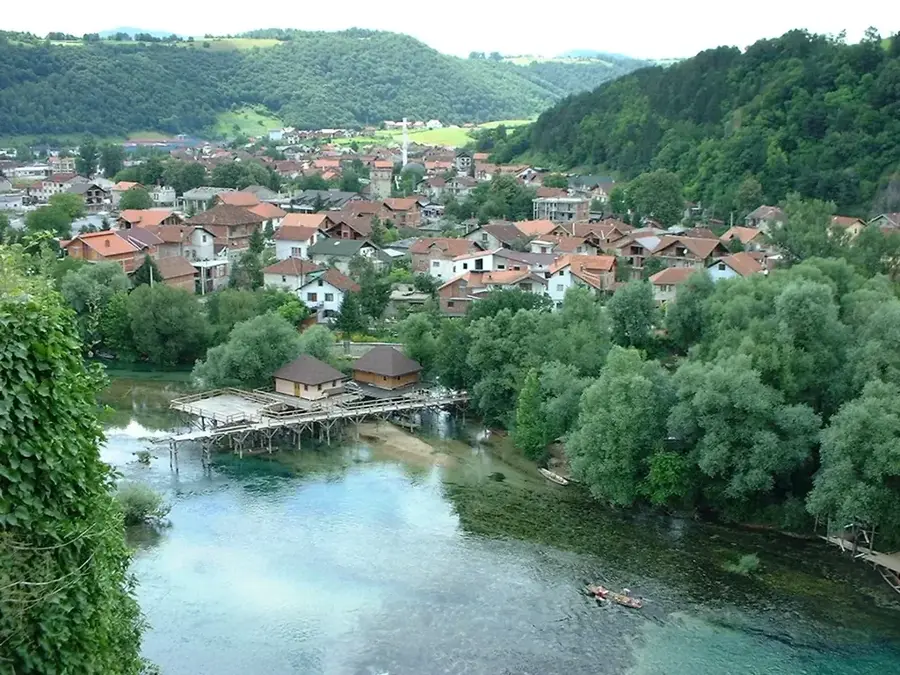
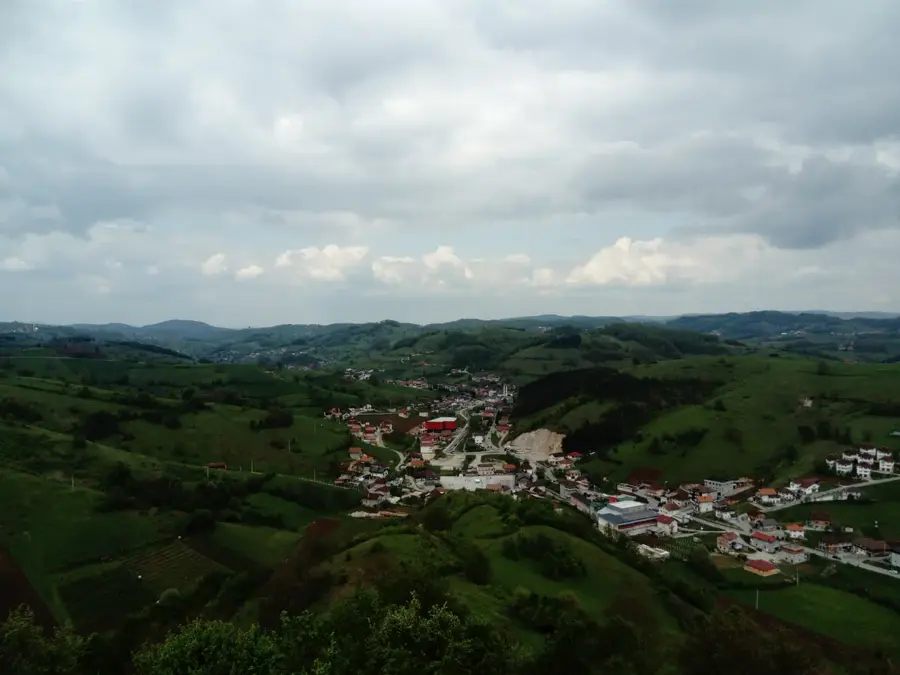
The Una River flows for 212 kilometers through the northwestern regions of Bosnia and Herzegovina and along the border with Croatia. Its name is believed to originate from the Latin word 'una', meaning 'the one' or 'the unique', reflecting the Roman soldiers' admiration for its pristine beauty. The river's course is defined by a series of dramatic waterfalls, tufa barriers, and rapids, with the 24-meter high Štrbački buk being its most famous landmark. In 2008, the Una National Park was established to protect the upper reaches of the river and its surrounding karst landscape, which supports a high degree of biodiversity. For much of its length, the Una serves as a natural border between Croatia and Bosnia and Herzegovina before joining the Sava River near Jasenovac. It is a premier destination for sustainable tourism, particularly renowned for white-water rafting and international fly-fishing competitions. The river's unique hydrological characteristics favor the formation of travertine, which continuously shapes its unique aquatic environment.
- Location: Bosnia and Herzegovina
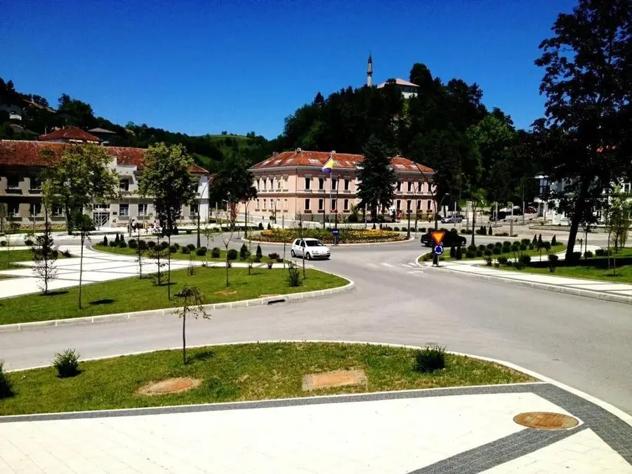
- Top sights: Muzej USK · Partizansko obilježje · Ostaci crkve sv. Ante
- Nearby: Cazin (17 km)
Best time to visit & climate
The most pleasant time to visit is Jun–Aug.
| Jan | Feb | Mar | Apr | May | Jun | Jul | Aug | Sep | Oct | Nov | Dec | |
|---|---|---|---|---|---|---|---|---|---|---|---|---|
| Avg °C | 0 | 1 | 6 | 11 | 15 | 19 | 22 | 22 | 16 | 11 | 6 | 1 |
| Rain mm | 81 | 85 | 77 | 82 | 103 | 86 | 69 | 82 | 121 | 104 | 114 | 92 |
📋 Practical info
Geography
Facts
- The Una River has a total length of 212 kilometers.
- The river originates from a karst spring in Donja Suvaja, Croatia.
- The Una National Park was officially established in 2008.
- The Štrbački buk waterfall features a total vertical drop of 24 meters.
- The Una flows into the Sava River near the town of Jasenovac.
- The river's ecosystem includes 28 different species of fish.
Explore nearby
Notable places around
Route planner — Car & Motorhome
Where do you start? We build the route here, with stops and country notes along the way.
© OpenStreetMap contributors · OpenRouteService
Sights in the town Una (10)
Stone Turbe
Stone turbe (tomb) from the Ottoman period.
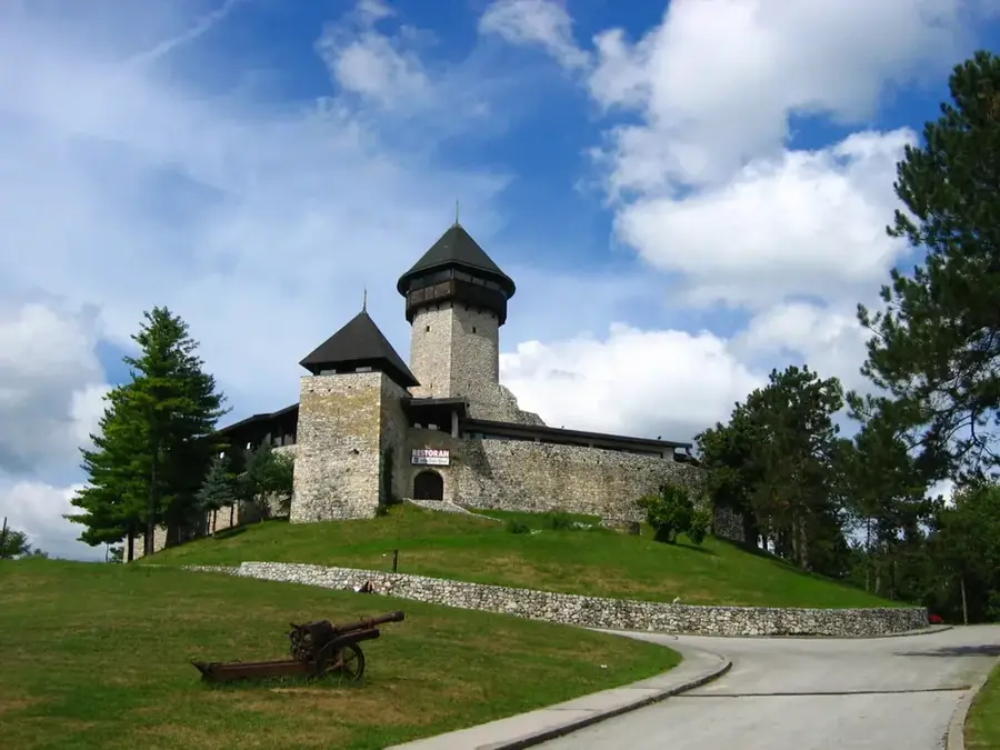
Kapetanova kula🏛 museum
Museum in the captain's tower, presenting the history of Bihać.
Nacionalni spomenik: mjesto i ostaci historijske građevine Konaka Konak
Ruins of the historic Konak building, a national monument.
Bazeni "Veni vidi"
Outdoor swimming pool with pools and sun loungers in Bihać.
Bravice
Gravel beach on the Una river, suitable for swimming.
Vidikovac Glavica
Viewpoint overlooking Bihać and the Una valley.
Sights nearby
Frequently asked questions
Why is the river called Una?
What is the most famous waterfall?
Is there a national park there?
Can you fish on the Una?
How clean is the water?
Una: where is it located?
Una: what is there to see?
Una: when is the best time to visit?
Una: why is it worth visiting?
Nearby cities