Plizio Visual Lab
Plješevica
Weather…
Water temperature…
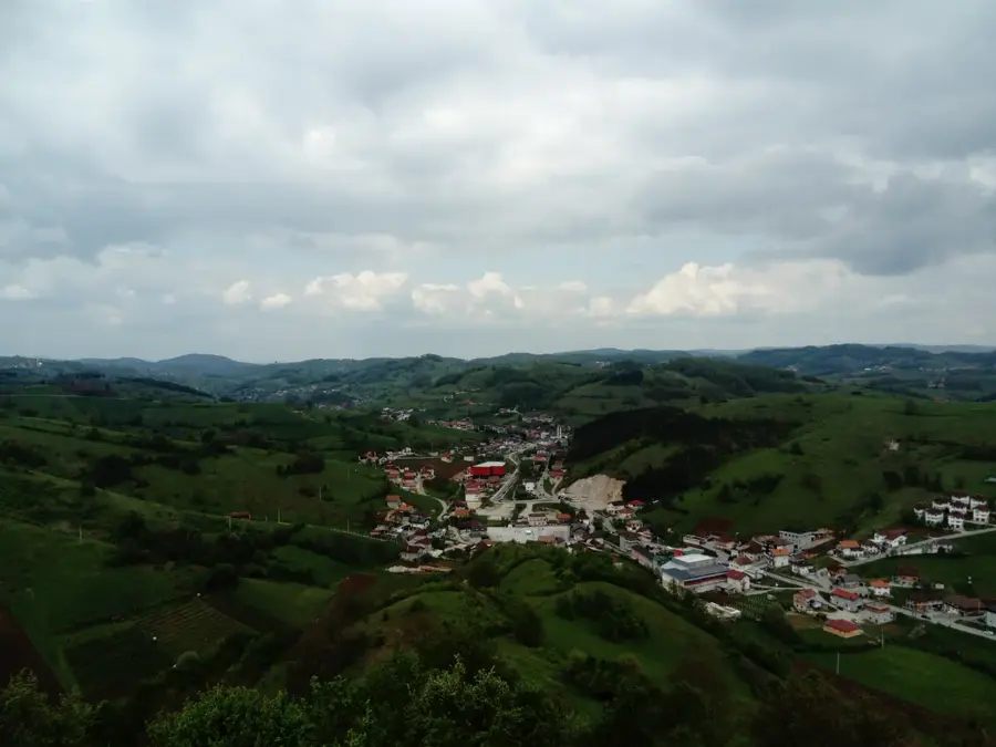
Plješevica is a prominent mountain range in northwestern Bosnia and Herzegovina, forming much of the natural border with Croatia. The highest peak on the Bosnian side is Gola Plješevica, at 1,648 meters, which towers over the city of Bihać. Geologically, the mountain belongs to the Dinarides and consists mainly of limestone, resulting in numerous caves and karst springs in the Una valley. Historically, Plješevica gained worldwide fame during the Cold War with the construction of the Željava Air Base, one of Europe's largest underground military facilities, carved directly into the mountain. The range is characterized by dense mixed forests, home to brown bears, wolves, and lynx. Due to its strategic border location, the mountain was a military restricted area for a long time, which helped preserve its pristine nature. Today, Plješevica is a popular destination for hikers and nature enthusiasts, who can enjoy vast panoramic views over the Lika plateau in Croatia and the Una valley in Bosnia. The harsh climatic conditions ensure that the peaks remain snow-covered well into spring.
- Location: Bosnia and Herzegovina
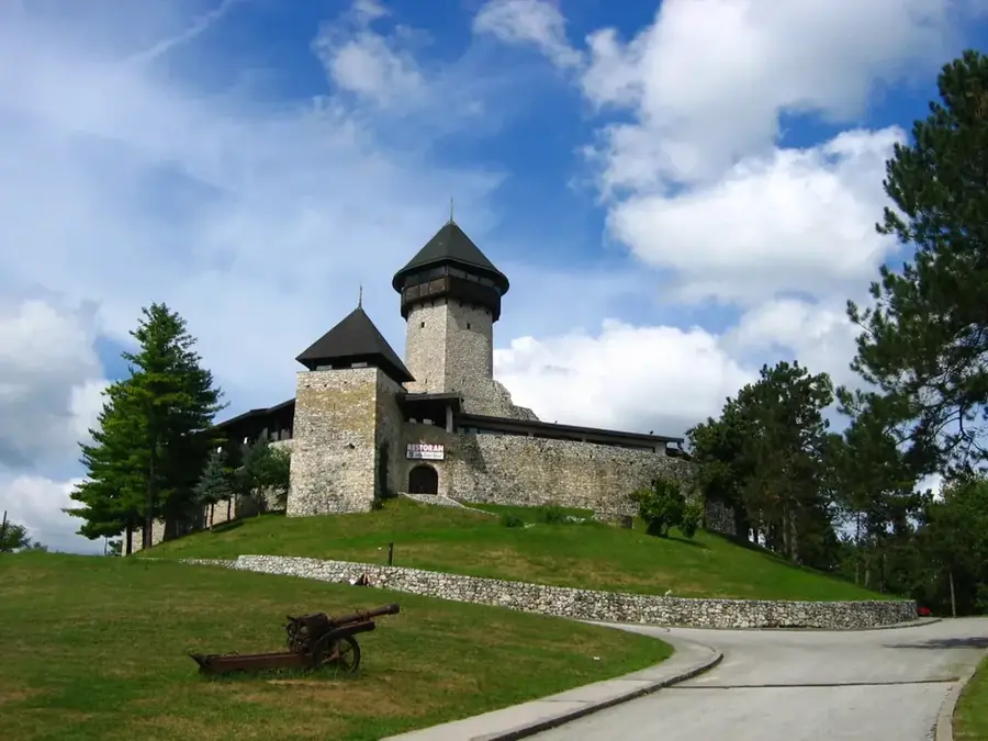
- Top sights: Šeganovac · Kržin vrh · Utvrda Krst u Korenici
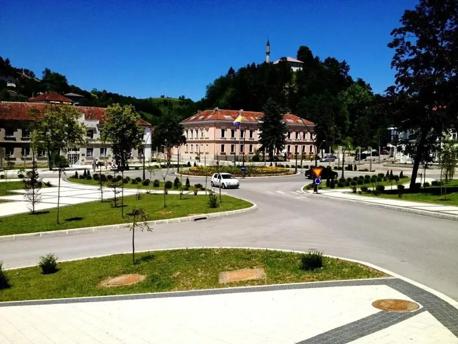
- Nearby: Bihać (12 km)
Best time to visit & climate
The most pleasant time to visit is Jun–Aug.
| Jan | Feb | Mar | Apr | May | Jun | Jul | Aug | Sep | Oct | Nov | Dec | |
|---|---|---|---|---|---|---|---|---|---|---|---|---|
| Avg °C | 0 | 1 | 6 | 11 | 15 | 19 | 22 | 22 | 16 | 11 | 6 | 1 |
| Rain mm | 81 | 85 | 77 | 82 | 103 | 86 | 69 | 82 | 121 | 104 | 114 | 92 |
📋 Practical info
Geography
Facts
- Gola Plješevica is the highest Bosnian peak at 1,648 meters.
- The underground Željava base beneath the mountain had 3.5 km of tunnels.
- The mountain range extends for a length of about 40 kilometers.
- Plješevica is part of the ecological network of the Dinaric Alps.
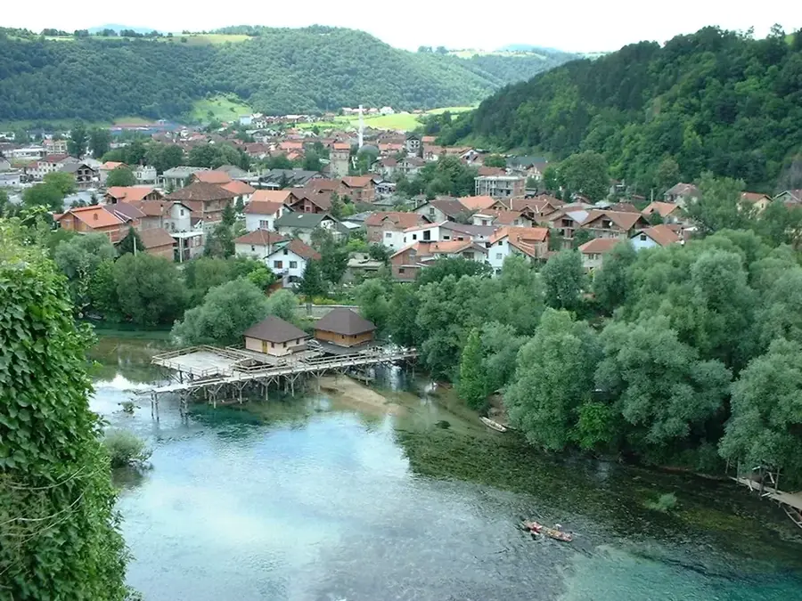
- Numerous mineral springs originate in the Una valley at the mountain's foot.
- The border runs exactly across the ridge of some of its peaks.
Explore nearby
Notable places around
Route planner — Car & Motorhome
Where do you start? We build the route here, with stops and country notes along the way.
© OpenStreetMap contributors · OpenRouteService
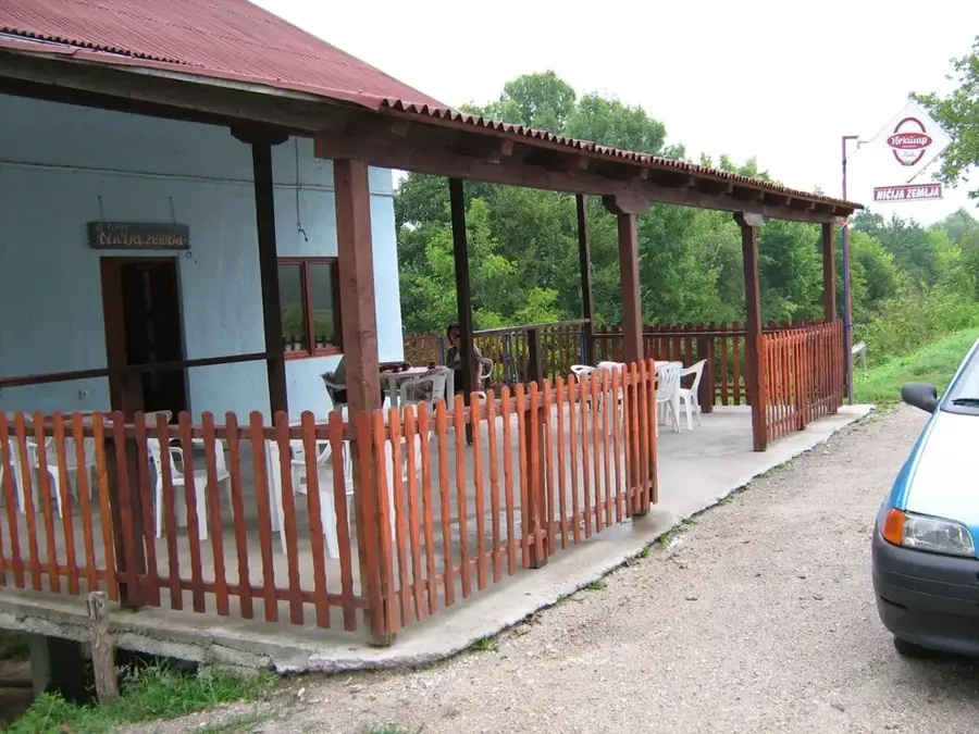
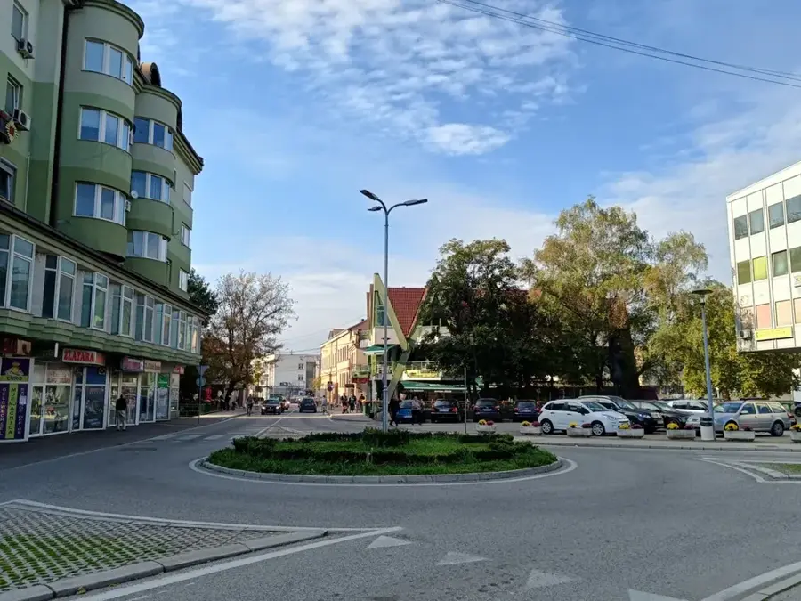
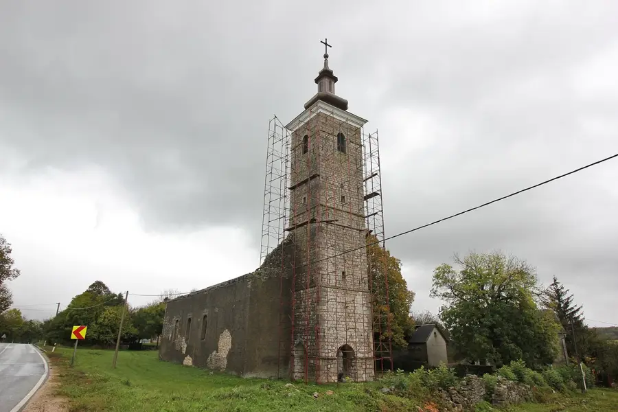
Sights in the town Plješevica (4)
Sights nearby
Frequently asked questions
Where is the border on Plješevica?
What is the 'Željava' radar station?
How high is the Ozeblin peak?
Does the mountain offer a view of Bihać?
Are hikes difficult because of the border?
Plješevica: where is it located?
Plješevica: what is there to see?
Plješevica: when is the best time to visit?
Plješevica: why is it worth visiting?
Nearby cities