Plizio Visual Lab
Wamrong
ℹ️Practical info — Wamrong
▾
🌤 Weather — 5 days
📍 Nearby
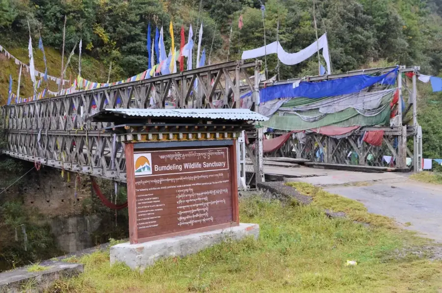
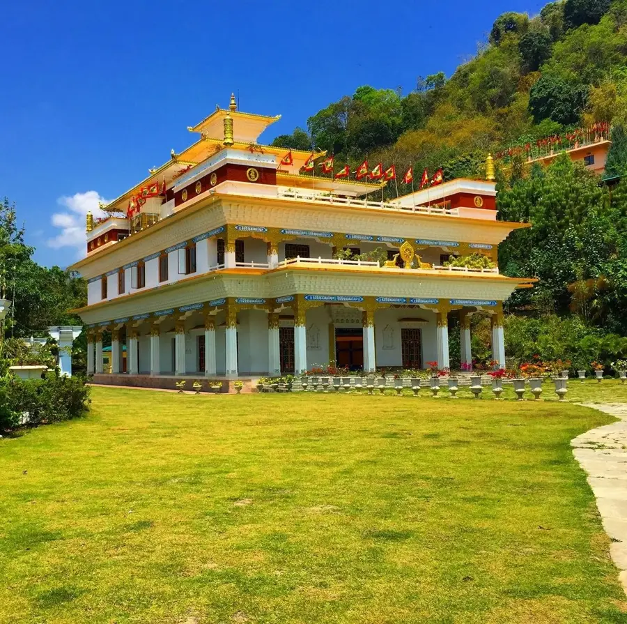
Sights nearby
💡 Tips
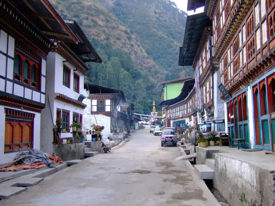
- Wamrong is a classic ridge-top town; the main street is essentially the highway.
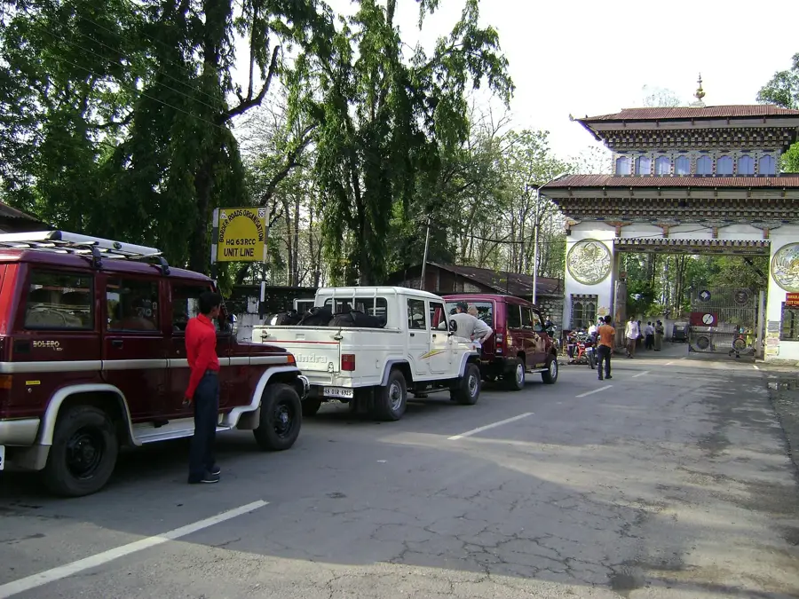
- It's a handy place to break the long journey between Trashigang and Samdrup Jongkhar.
- The community is close-knit; greeting locals with a simple "Kuzuzangpo la" goes a long way.
- Morning views over the deep valleys are spectacular; wake up early for the best photos.
🍽 Food
Simple, warming noodle soup served at small rest houses.
Butter tea, absolutely well-suited for the chilly mountain mornings.
Local cheese served with fiery chilies.
🛍 Shopping · 🧘 Quiet spots
Essential travel snacks and basic provisions along the highway.
Occasionally, local weavers sell their surplus to travelers here.
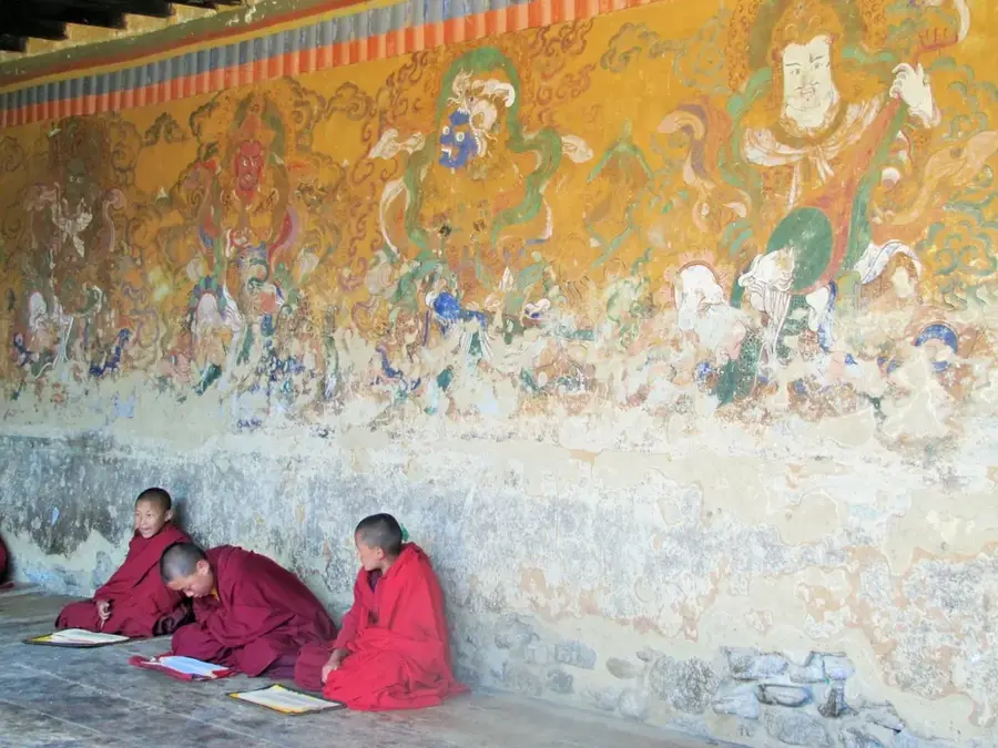
A quiet spiritual center for the village community.
Located at the edge of the town, especially peaceful at sunrise.
Water temperature…
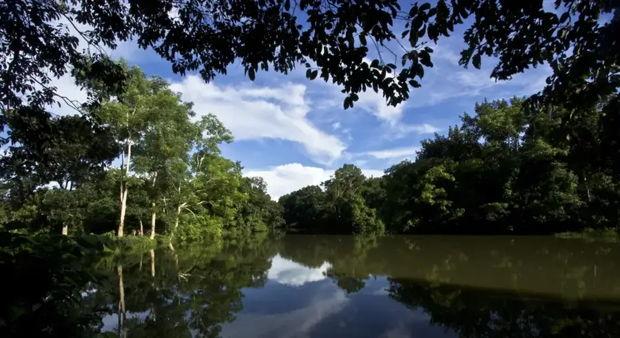
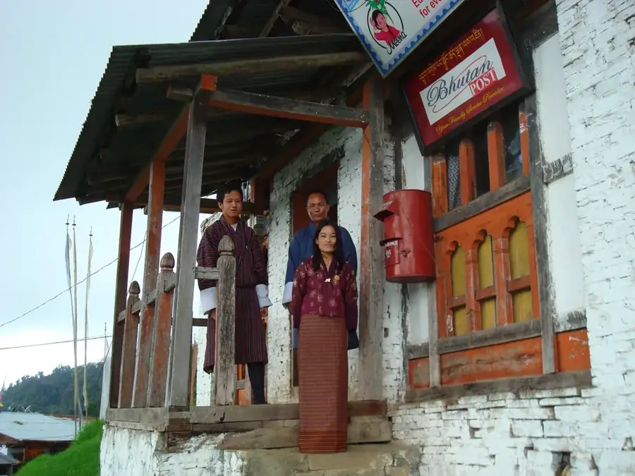
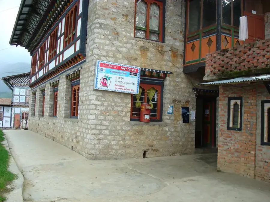
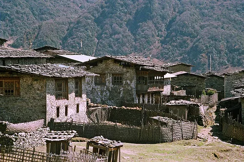
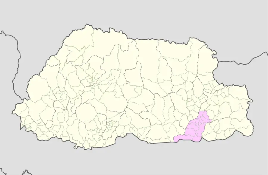
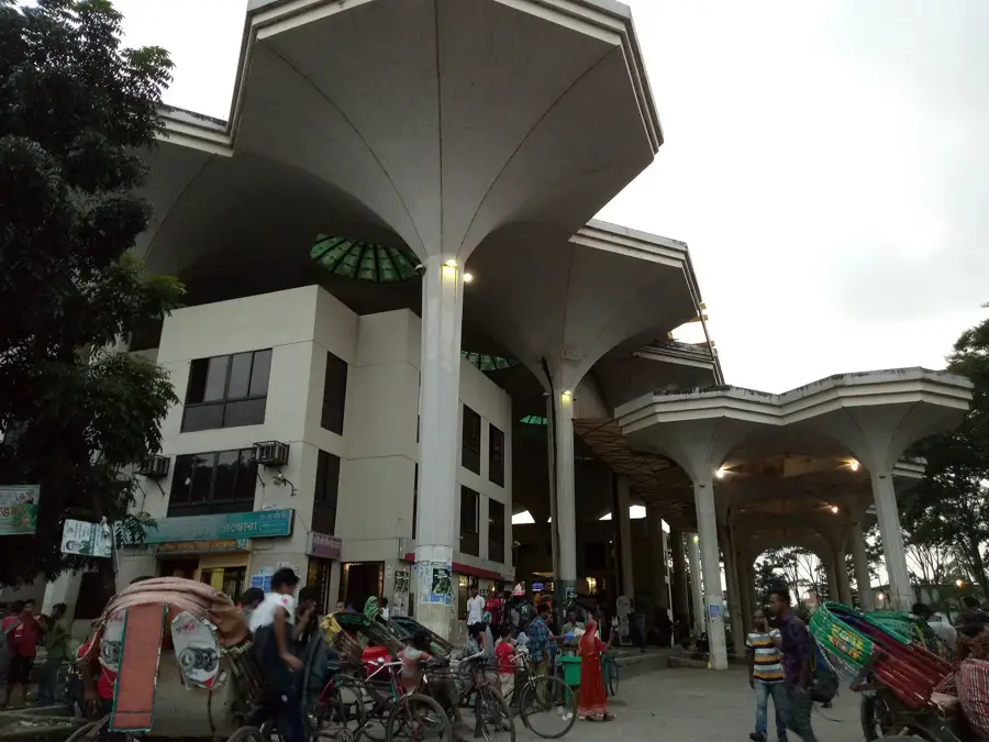
Wamrong is a small but strategically located town in the Trashigang District of eastern Bhutan, situated along the highway between Samdrup Jongkhar and Trashigang. It serves as a primary transit station for long-distance travelers and cargo vehicles navigating the winding mountain roads of the east. The town is built along a narrow ridge at an elevation of about 2,100 meters, providing administrative and commercial services to the Wamrong Dungkhag. Historically, it has been a local center for trade, where farmers from surrounding villages exchange agricultural produce for essential goods. The community is served by a regional hospital, several schools, and a variety of small businesses catering to the needs of transit passengers. The surrounding area is characterized by dense forests and steep terrain, typical of the Himalayan middle hills. Despite its modest size, Wamrong plays a crucial role in the logistics and administrative framework of the Trashigang region.
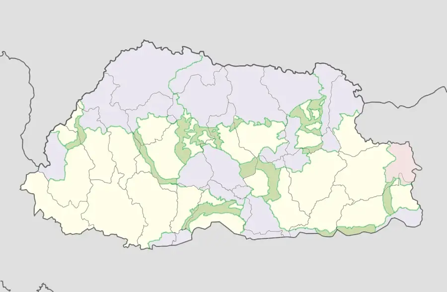
- Location: Bhutan
- Nearby: Kanglung (6 km)
Best time to visit & climate
The most pleasant time to visit is Mar, Oct, Nov.
| Jan | Feb | Mar | Apr | May | Jun | Jul | Aug | Sep | Oct | Nov | Dec | |
|---|---|---|---|---|---|---|---|---|---|---|---|---|
| Avg °C | 11 | 13 | 17 | 20 | 22 | 23 | 23 | 23 | 22 | 20 | 16 | 13 |
| Rain mm | 6 | 18 | 48 | 212 | 267 | 341 | 362 | 269 | 214 | 115 | 11 | 5 |
Geography
Facts
- Wamrong is situated at an elevation of approximately 2,100 meters on a ridge.
- The town serves as the headquarters for the Wamrong sub-district (Dungkhag).
- It is located roughly midway between Samdrup Jongkhar and Trashigang.
- The surrounding agricultural region is known for maize and potato production.
- Wamrong Hospital provides medical services to several nearby gewogs.
- The settlement is frequently shrouded in mist due to its high-altitude location.
Explore nearby
Notable places around
Route planner — Car & Motorhome
Where do you start? We build the route here, with stops and country notes along the way.
© OpenStreetMap contributors · OpenRouteService
Frequently asked questions
Where is Wamrong located?
What is the Wamrong Tshechu?
How is the climate in Wamrong?
What can you see in Wamrong?
Are there accommodation options there?
Wamrong: where is it located?
Wamrong: when is the best time to visit?
Wamrong: why is it worth visiting?

Nearby cities
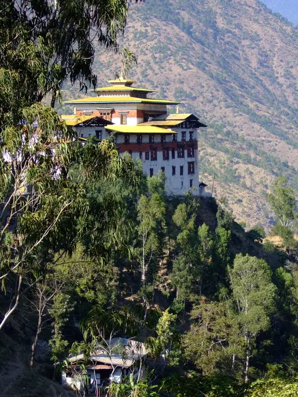
History & landmarks
Nature
More places