Plizio Visual Lab
Shillong Plateau
Weather…
Water temperature…
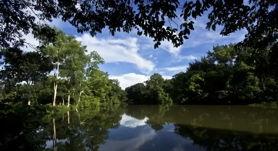
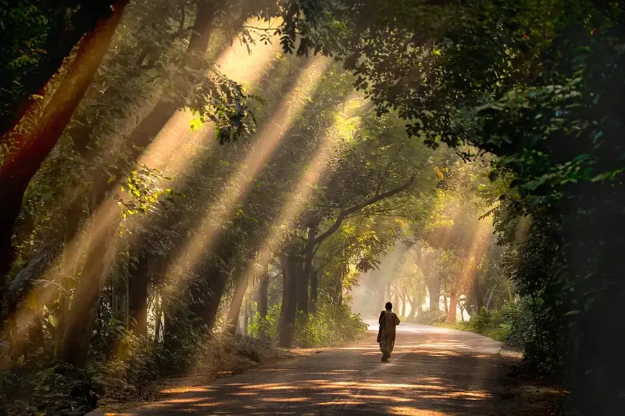
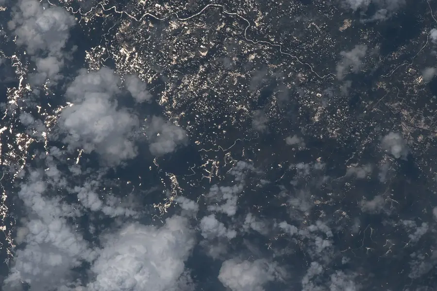
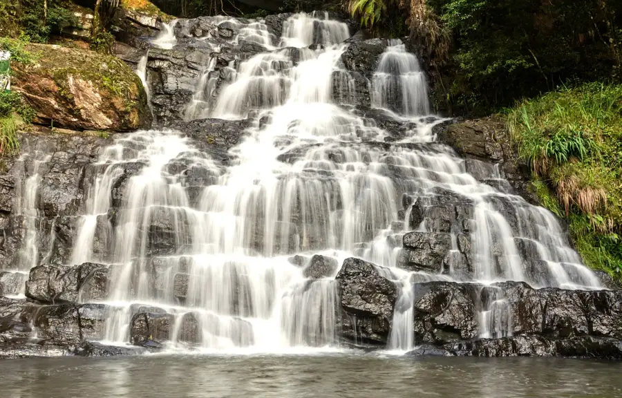
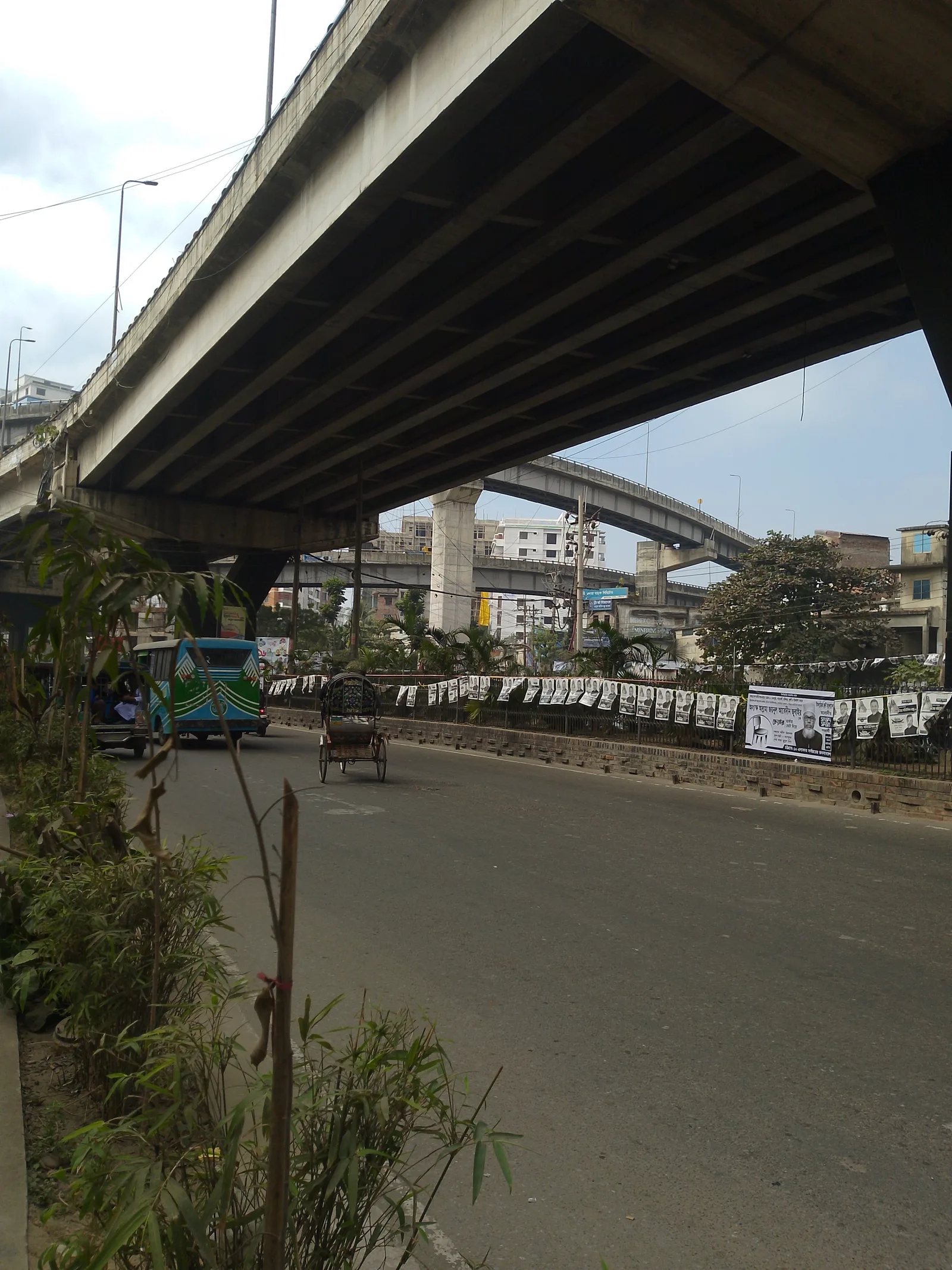
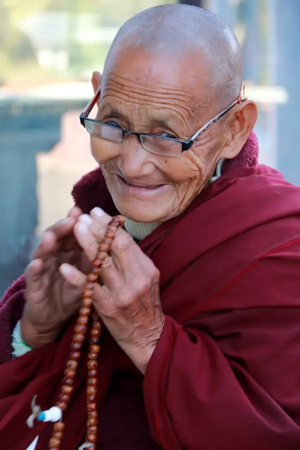
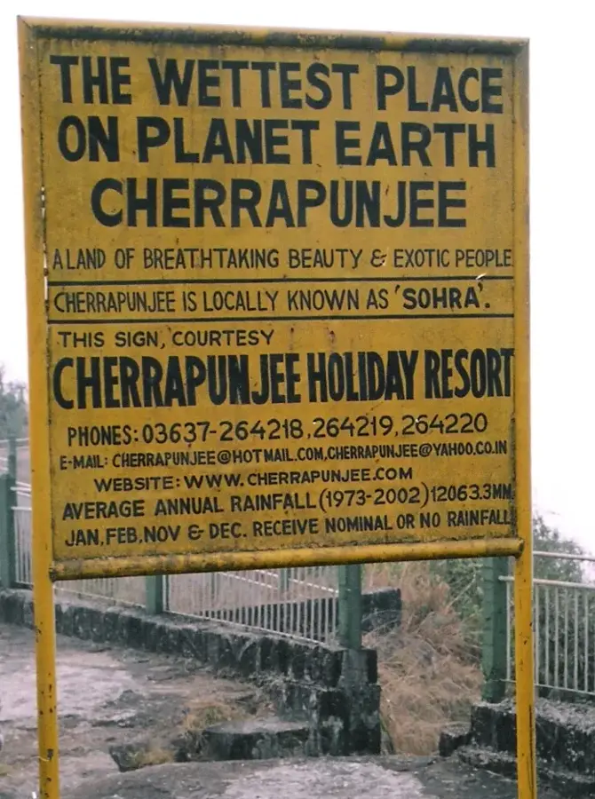
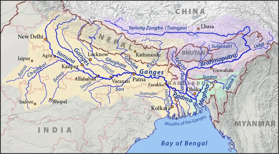
The Shillong Plateau is a prominent upland region in the northeastern state of Meghalaya, India, formed by tectonic uplift during the Tertiary period. Geologically, it is an isolated fragment of the Indian Shield, consisting primarily of ancient Precambrian gneisses and granites. The plateau maintains an average elevation of about 1,500 meters, with Shillong Peak serving as its highest point at 1,966 meters above sea level. The region is world-renowned for its extreme rainfall, with Mawsynram and Cherrapunji being among the wettest inhabited places on Earth. These climatic conditions have sculpted a landscape of lush evergreen forests, deep gorges, and spectacular waterfalls like the Nohkalikai Falls. Culturally, it is the ancestral home of the Khasi, Jaintia, and Garo tribes, who are famous for their unique bio-engineering feat of living root bridges. Today, the plateau remains a vital ecological zone and a major watershed for the plains of Assam and Bangladesh.
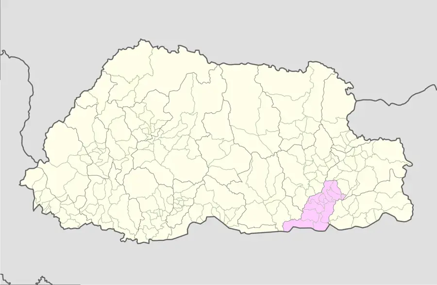
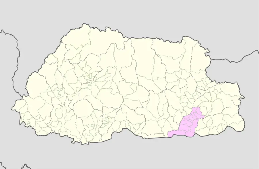
- Location: India
- Nearby: Cherrapunji (Sohra) (26 km)
Best time to visit & climate
The most pleasant time to visit is Feb, Mar, Nov.
| Jan | Feb | Mar | Apr | May | Jun | Jul | Aug | Sep | Oct | Nov | Dec | |
|---|---|---|---|---|---|---|---|---|---|---|---|---|
| Avg °C | 12 | 14 | 18 | 21 | 22 | 23 | 23 | 23 | 23 | 20 | 17 | 13 |
| Rain mm | 10 | 29 | 80 | 315 | 418 | 576 | 587 | 448 | 359 | 199 | 17 | 14 |
📋 Practical info
Geography
Facts
- Shillong Peak is the highest point on the plateau at an elevation of 1,966 meters.
- The plateau is divided into the Garo, Khasi, and Jaintia Hills regions.
- Mawsynram receives over 11,800 mm of annual rainfall, the highest in the world.
- Geologically, it is a detached part of the Deccan Plateau composed of ancient rocks.
- The living root bridges found here can support the weight of 50 passengers at once.
- The plateau acts as a natural barrier to the summer monsoon winds from the south.
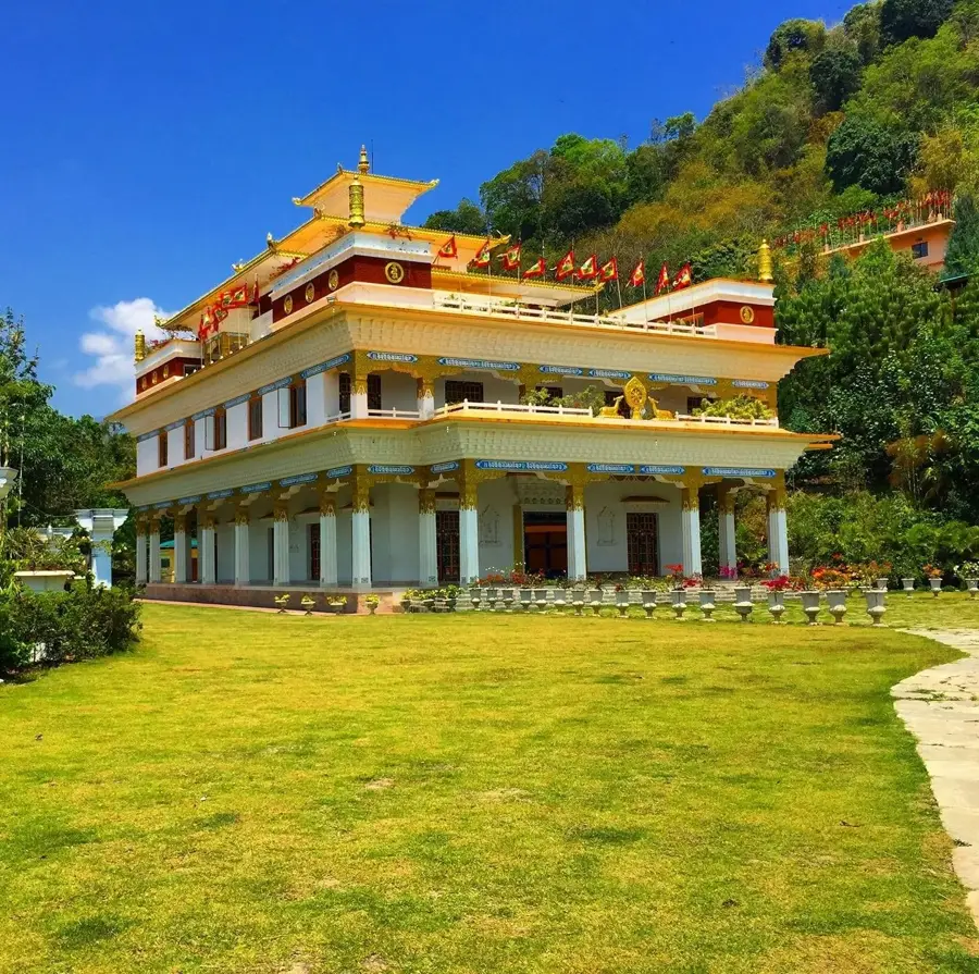
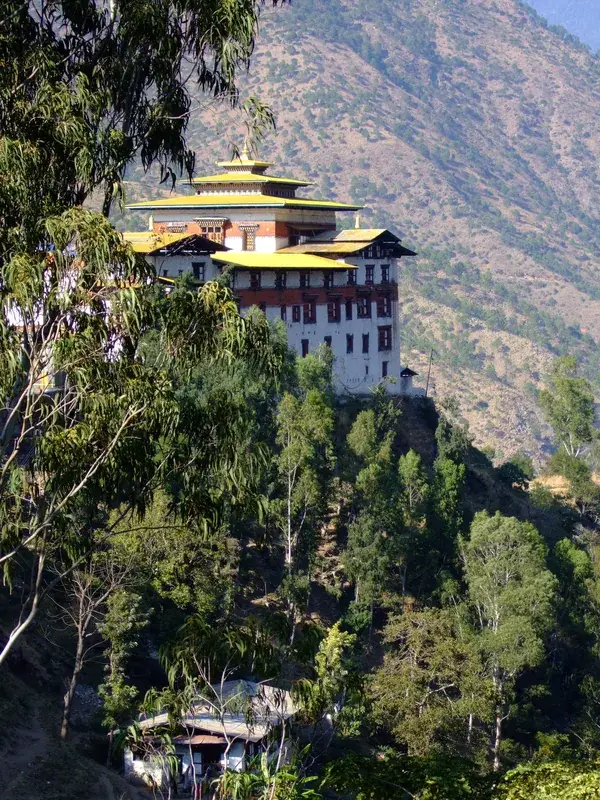
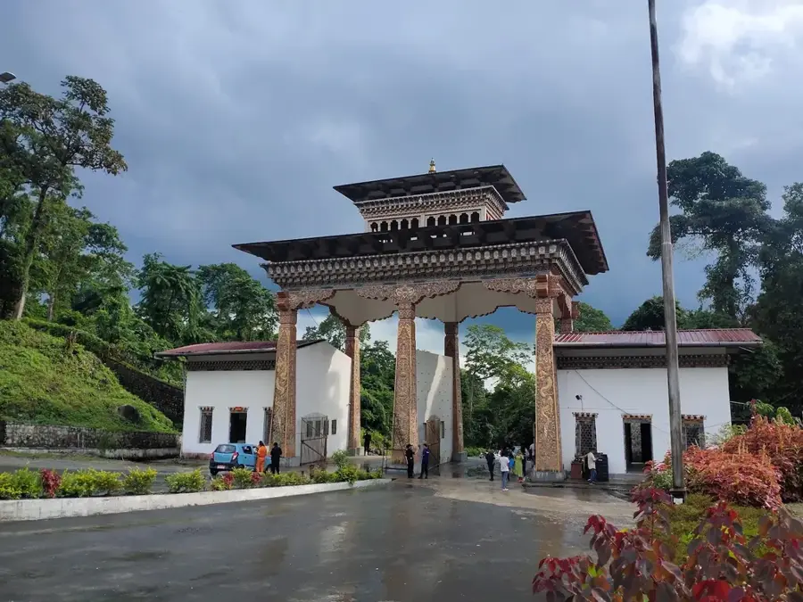
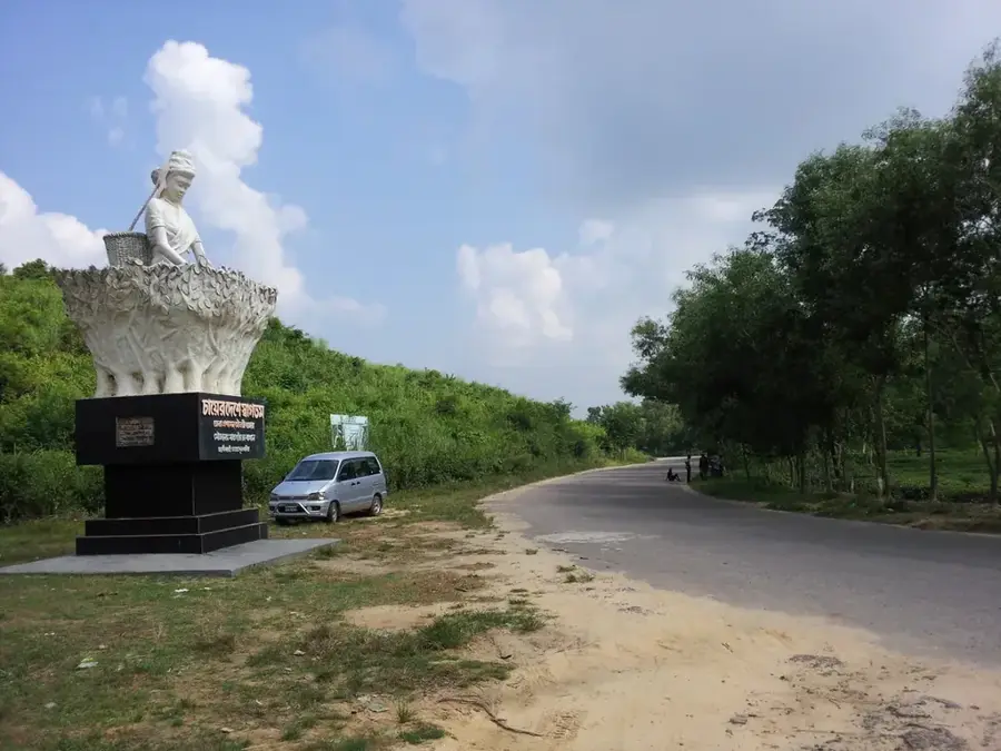
Explore nearby
Notable places around
Route planner — Car & Motorhome
Where do you start? We build the route here, with stops and country notes along the way.
© OpenStreetMap contributors · OpenRouteService
Sights nearby
Frequently asked questions
Why is Shillong called 'Scotland of the East'?
What is the weather like on the plateau?
What are 'living root bridges'?
What can you visit in Shillong?
When should you visit the plateau?
Shillong Plateau: where is it located?
Shillong Plateau: when is the best time to visit?
Shillong Plateau: why is it worth visiting?

Nearby cities
History & landmarks
Nature
More places