Plizio Visual Lab
Deothang
ℹ️Practical info — Deothang
▾
🌤 Weather — 5 days
📍 Nearby
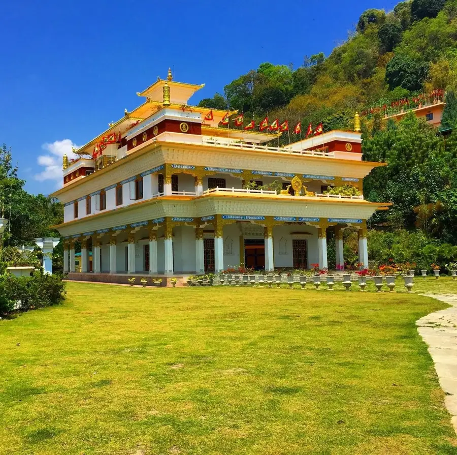
Sights nearby
💡 Tips
- Due to the military presence, strictly avoid photographing bases or checkpoints.
- The climate is cooler than the plains but warmer than the high mountains; pack accordingly.
- Bring enough cash (Ngultrum) with you, as ATMs can be unreliable.
- Dress modestly, especially near educational institutions and religious sites.
🍽 Food
Find this spicy national dish of chili and cheese in local eateries.
Try this traditional salty tea at small roadside stalls.
Steamed dumplings that are served in almost every local cafe.
🛍 Shopping · 🧘 Quiet spots
Buy fresh fruits and vegetables at the small roadside markets.
Look for hand-woven fabrics in the small shops around town.
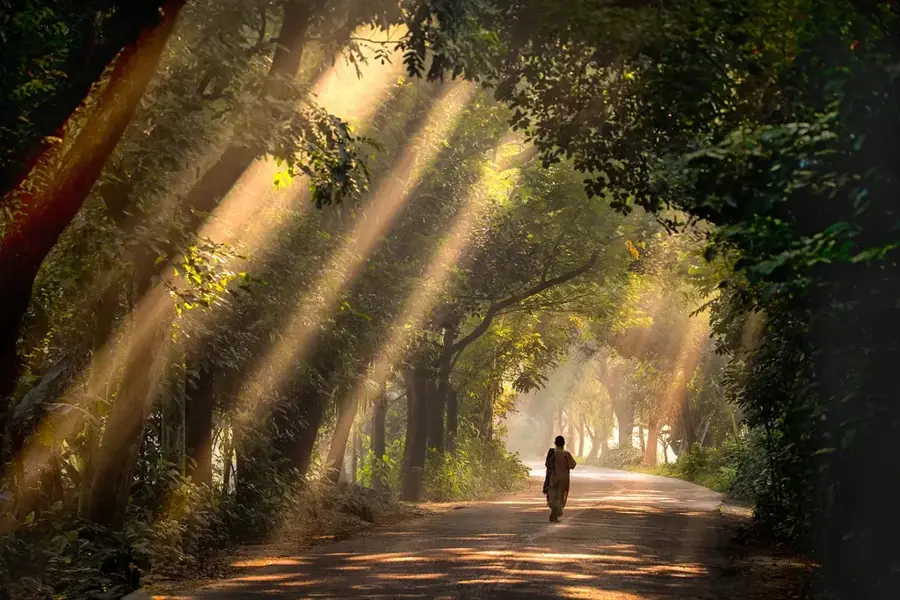
Walk through the quiet, wooded areas near the local colleges.
Enjoy a peaceful stroll on the paths just outside the town center.
Water temperature…
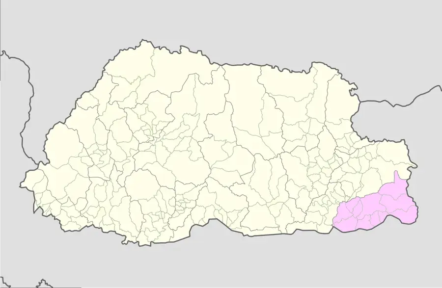
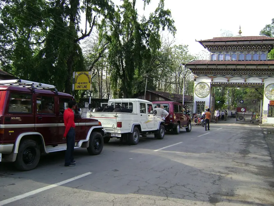
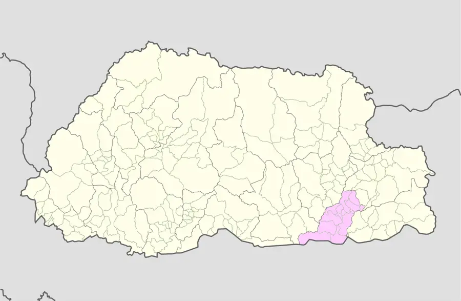
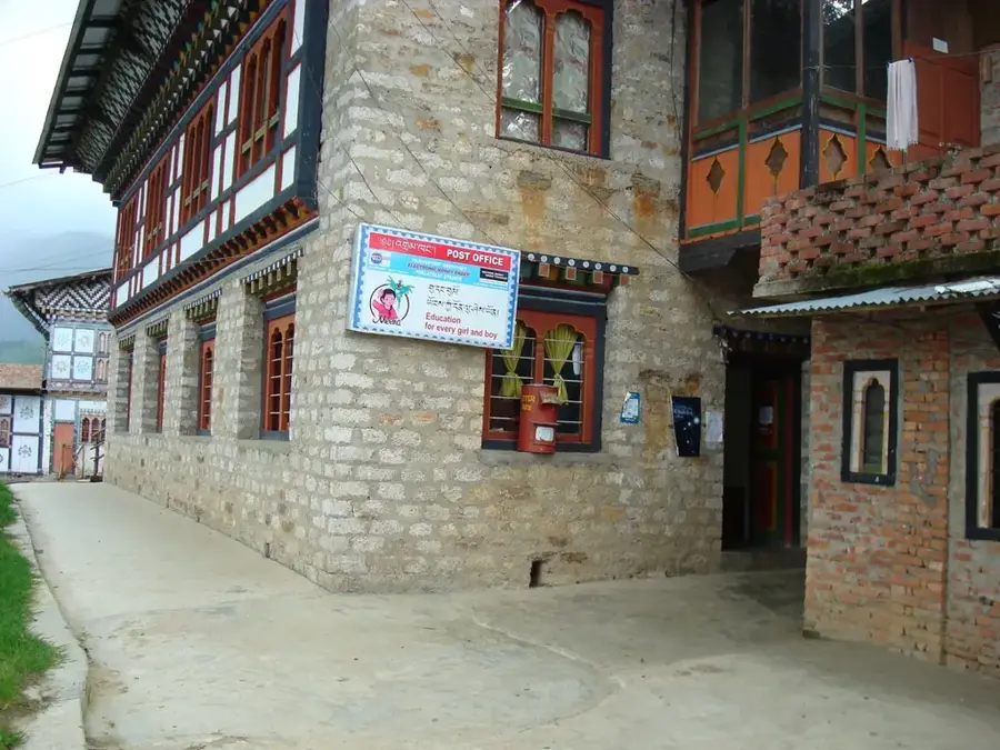
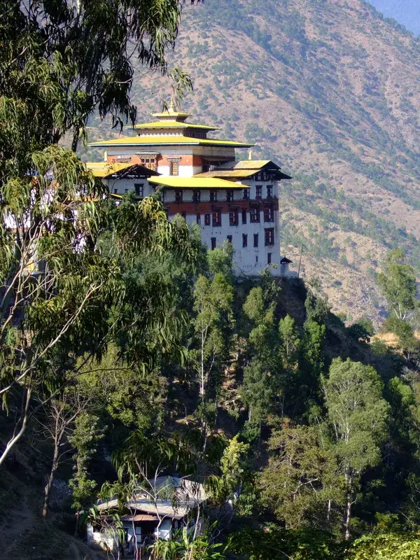
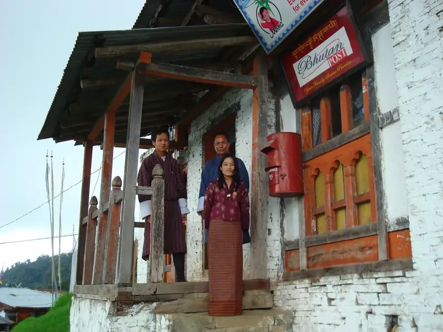
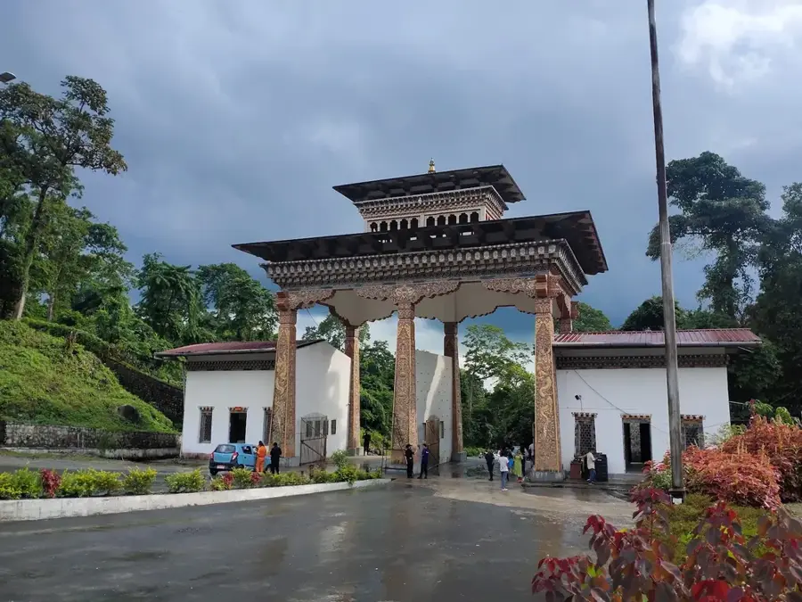
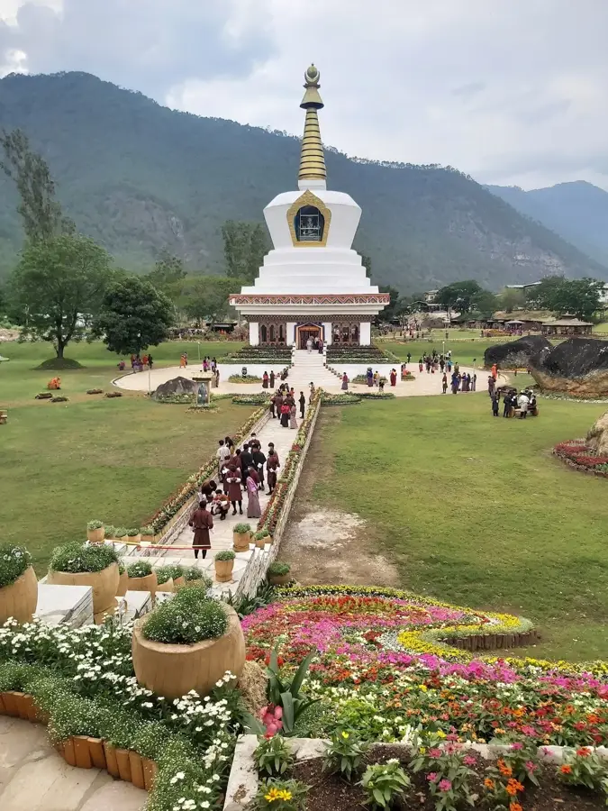
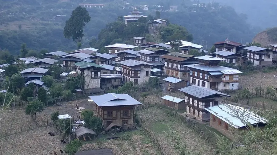
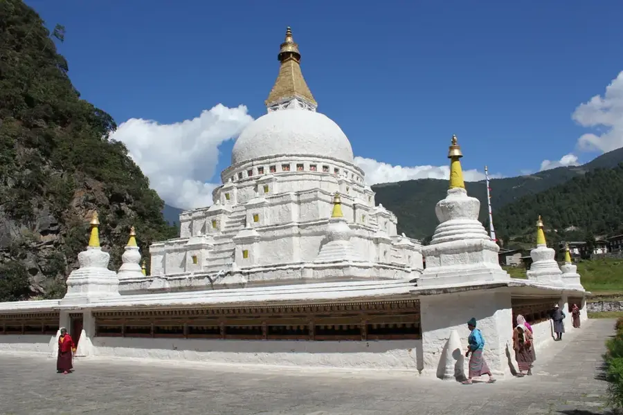
Deothang is a town located in the Samdrup Jongkhar District of southeastern Bhutan, known for its strategic and military importance. Historically, it was the site of significant engagements during the Duar War in 1864 and 1865 between Bhutanese forces and the British. Today, it is home to the Royal Military Academy, the premier officer training institution for the Royal Bhutan Army, which was established here in 1971. The town is situated on a plateau at an elevation of about 800 meters, offering a milder climate compared to the tropical plains of the border. It serves as an important educational and administrative center for the region, housing several schools and technical institutes. The Jigme Namgyel Engineering College, a constituent college of the Royal University of Bhutan, is also located in this vicinity. The town acts as a link between the southern plains and the interior districts of eastern Bhutan.
- Location: Bhutan
- Nearby: Trashi Yangtse (4 km)
Best time to visit & climate
The most pleasant time to visit is Mar, Oct, Nov.
| Jan | Feb | Mar | Apr | May | Jun | Jul | Aug | Sep | Oct | Nov | Dec | |
|---|---|---|---|---|---|---|---|---|---|---|---|---|
| Avg °C | 11 | 13 | 17 | 20 | 22 | 23 | 23 | 23 | 22 | 20 | 16 | 13 |
| Rain mm | 6 | 18 | 48 | 212 | 267 | 341 | 362 | 269 | 214 | 115 | 11 | 5 |
Geography
Facts
- Deothang is situated on a plateau at an elevation of approximately 800 to 900 meters.
- The Royal Military Academy was established in Deothang in 1971.
- During the Duar War in 1865, Bhutanese forces defeated the British at Deothang.
- Jigme Namgyel Engineering College was inaugurated here in 1974.
- The town is located about 18 kilometers north of Samdrup Jongkhar.
- It serves as a key transit point on the highway leading to Trashigang.
Explore nearby
Notable places around
Route planner — Car & Motorhome
Where do you start? We build the route here, with stops and country notes along the way.
© OpenStreetMap contributors · OpenRouteService
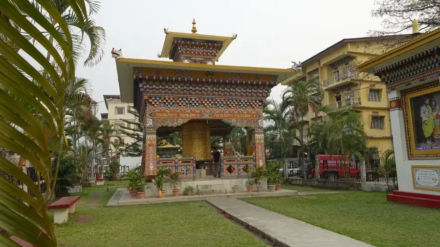
Sights in the town Deothang (1)
Frequently asked questions
What is Deothang known for?
How is the weather in Deothang?
How far is it from Samdrup Jongkhar to Deothang?
Can you go for walks in Deothang?
Are there markets in Deothang?
Deothang: where is it located?
Deothang: when is the best time to visit?
Deothang: why is it worth visiting?

Nearby cities
History & landmarks
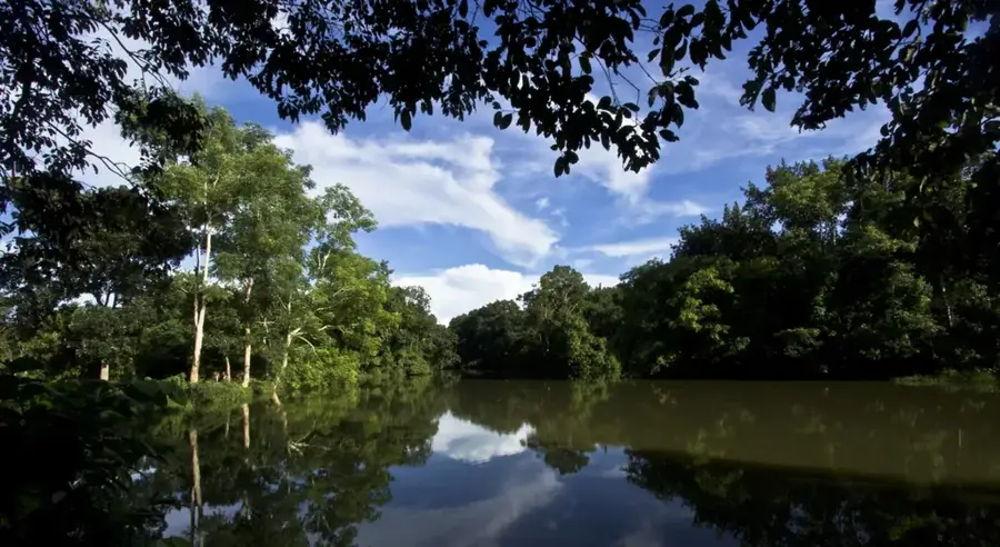
Nature
More places