Plizio Visual Lab
Surma River
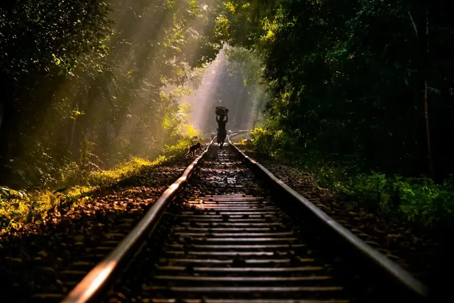
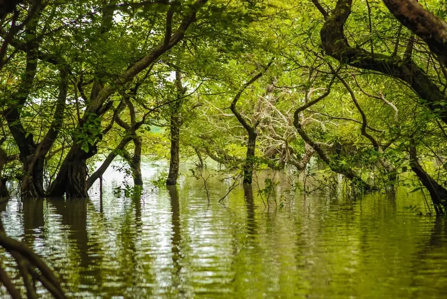
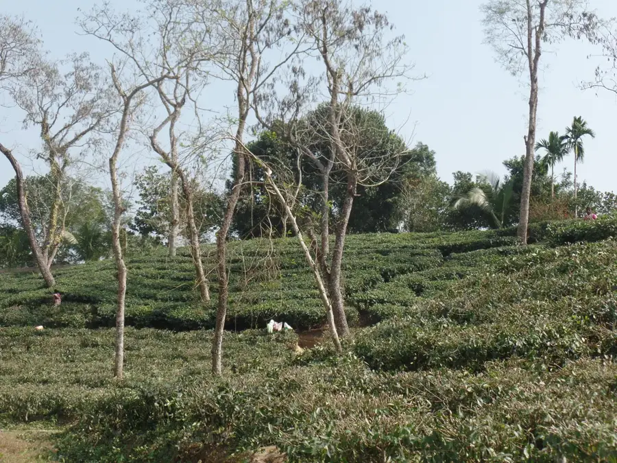
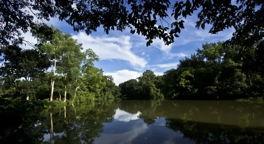
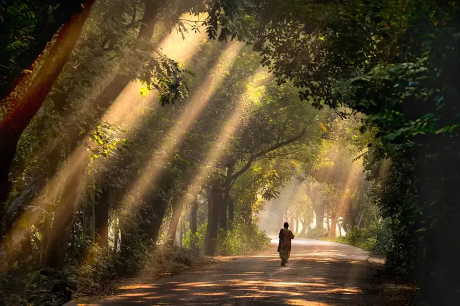
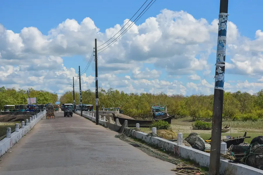
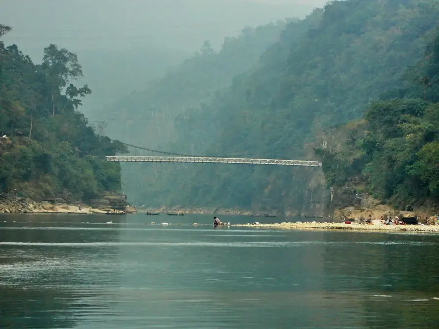
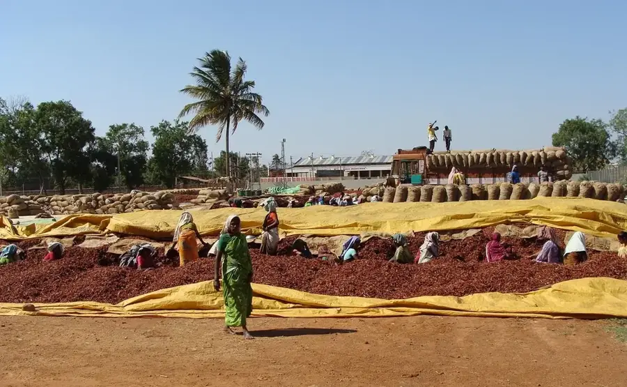
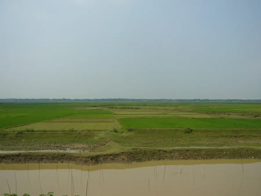
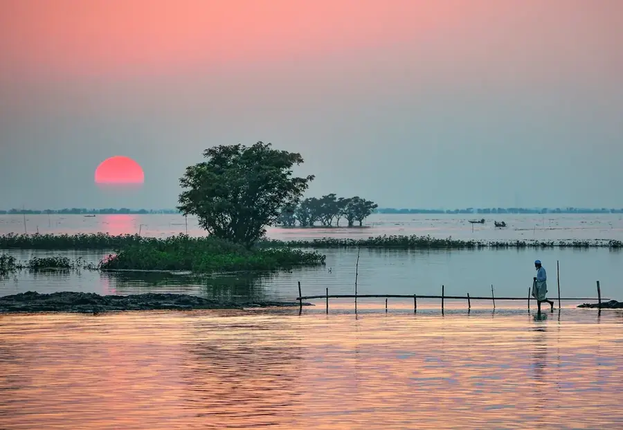
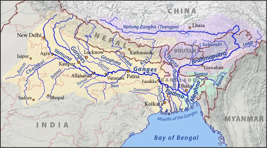
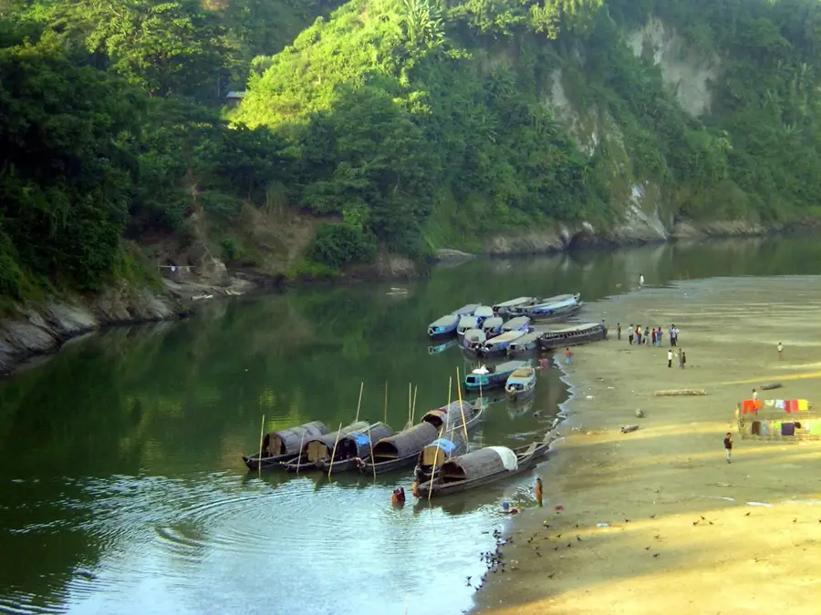
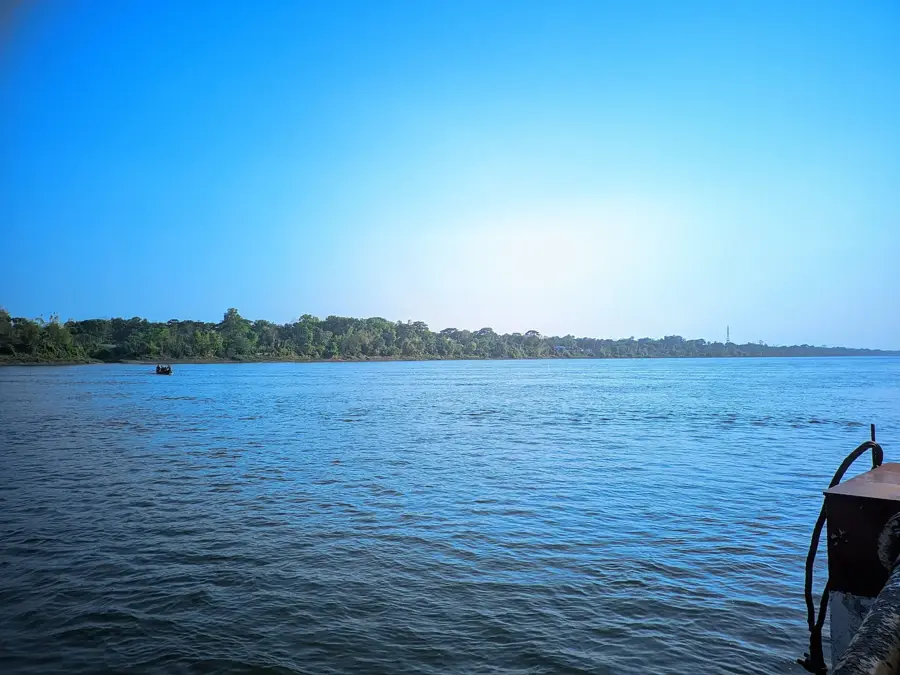
The Surma River is a major waterway in northeastern Bangladesh and a key component of the Surma-Meghna river system. It originates at the Indian border where the Barak River divides into two branches, the Surma and the Kushiyara. The river traverses the fertile Sylhet Basin, a region famous for its sprawling tea estates and unique wetland ecosystems known as haors. The Surma serves as a vital artery for local commerce and transport, particularly for the stone and limestone industries centered around Sylhet city. Each year, the region experiences some of the highest rainfall in the world during the monsoon, often causing the Surma to overflow and submerge vast tracts of the surrounding lowlands. These seasonal floods are critical for replenishing soil nutrients and maintaining the biodiversity of the haor fisheries. In recent years, increased sedimentation due to upstream deforestation and unregulated sand mining has threatened navigability and exacerbated flood risks. Culturally, the river is deeply ingrained in the regional identity of Sylhet, frequently appearing in local folk music and literature.
- Location: Bangladesh
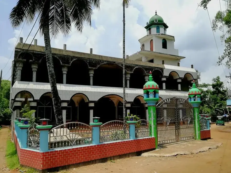
- Top sights: Ali Amjad's Clock · Bahapur Masjid · Lalabazar Masjid
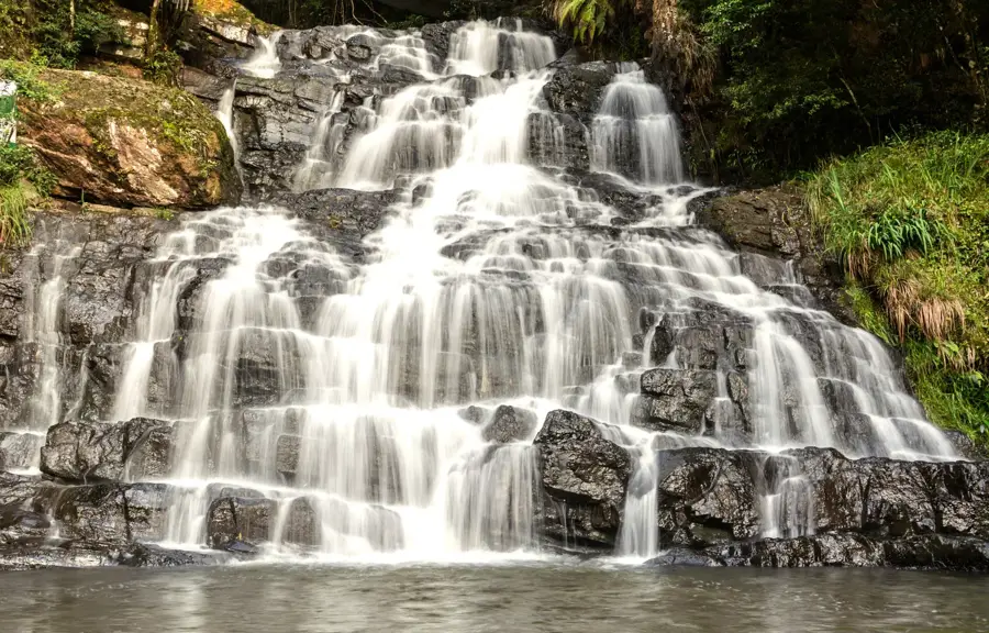
- Nearby: Ratargul Swamp Forest (7 km)
Best time to visit & climate
The most pleasant time to visit is Feb, Nov, Dec.
| Jan | Feb | Mar | Apr | May | Jun | Jul | Aug | Sep | Oct | Nov | Dec | |
|---|---|---|---|---|---|---|---|---|---|---|---|---|
| Avg °C | 17 | 20 | 24 | 27 | 28 | 28 | 28 | 28 | 28 | 26 | 22 | 19 |
| Rain mm | 11 | 34 | 98 | 377 | 540 | 701 | 693 | 545 | 432 | 231 | 24 | 21 |
📋 Practical info
Geography
Facts
- The Surma River is approximately 350 kilometers long.
- It flows directly through the heart of Sylhet city.
- The river eventually merges with the Kushiyara to form the Meghna.
- The Sylhet region receives over 4,000 mm of annual rainfall.
- The Surma is navigable by large cargo vessels during the monsoon season.
- Over 20 different species of fish are commercially harvested from the Surma.
Explore nearby
Notable places around
Route planner — Car & Motorhome
Where do you start? We build the route here, with stops and country notes along the way.
© OpenStreetMap contributors · OpenRouteService
Sights in the town Surma River (6)
Sights nearby
Frequently asked questions
Which city does the Surma flow through?
Are there historical bridges?
Is the river navigable?
What role does the river play during the monsoon?
Can you walk along the riverbank?
Surma River: where is it located?
Surma River: what is there to see?
Surma River: when is the best time to visit?
Surma River: why is it worth visiting?

Nearby cities

History & landmarks
Nature
More places