Plizio Visual Lab
Amblève River
Weather…
Water temperature…
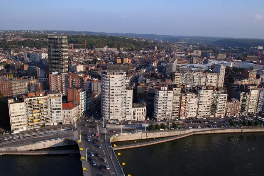
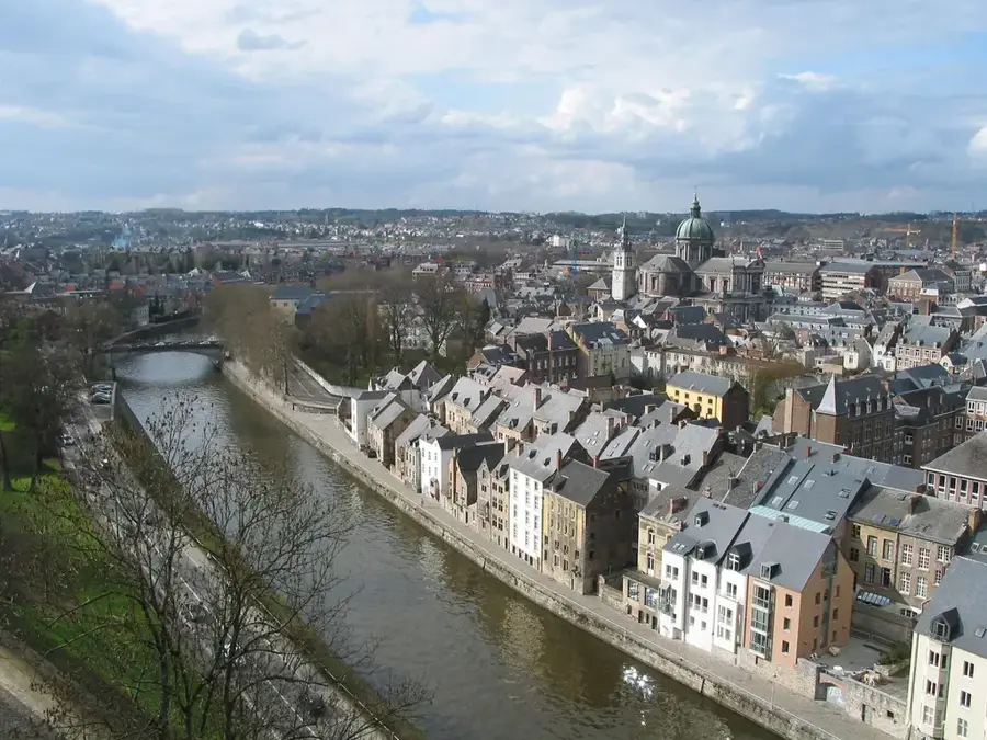
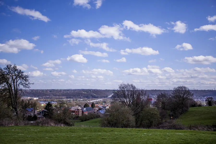
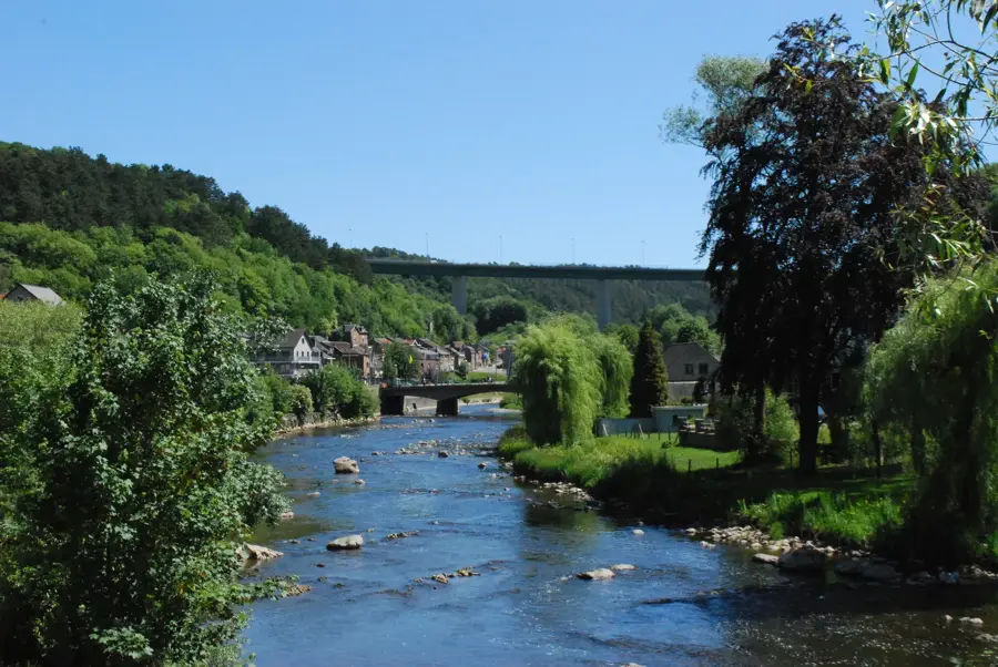
The Amblève is an enchanting 93-kilometer-long river in the Belgian province of Liège, shaping one of the most pristine natural landscapes in the Ardennes. It originates in the moorlands of the High Fens and carves its way through deep, rugged gorges before joining the Ourthe River at Comblain-au-Pont. The Amblève is renowned for its striking geological formations, most notably the spectacular 'Fonds de Quarreux'. At this site, the riverbed is strewn with massive quartzite boulders, shrouded in local myths, that transform the flowing water into roaring rapids. Historical sites such as the abbey town of Stavelot and the famous Cascade de Coo line its banks. The Amblève Valley, with its dense deciduous forests and steep rocky cliffs, is a true paradise for nature-loving hikers, mountain bikers, and photographers.
- Location: Belgium
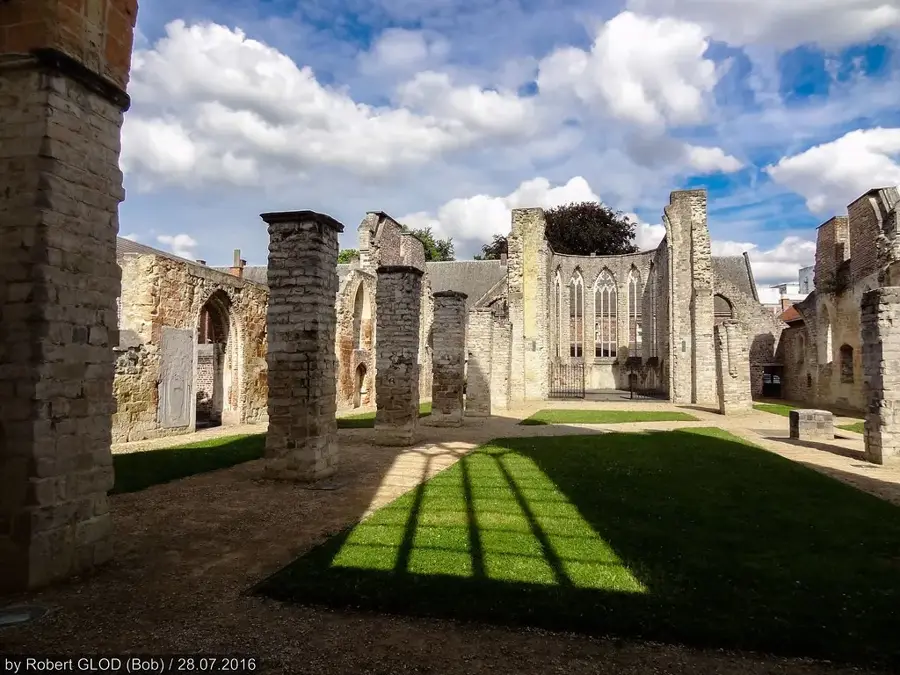
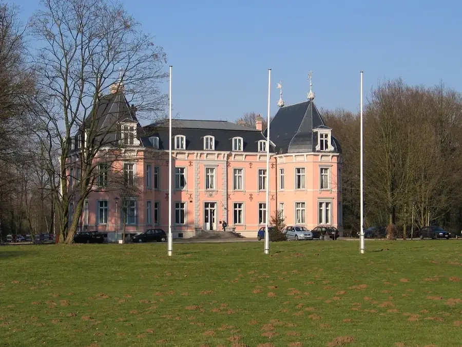
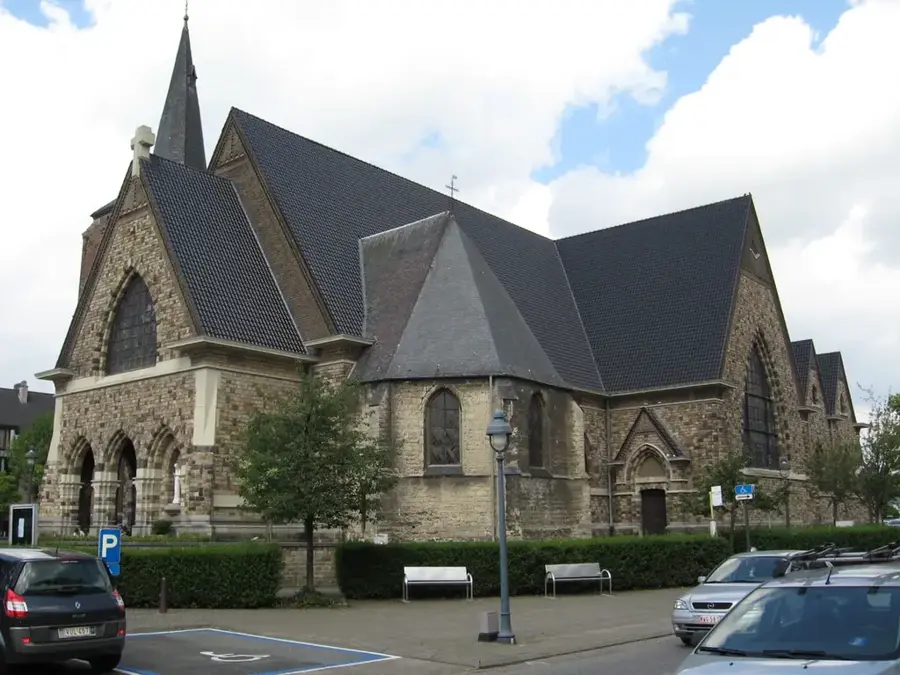
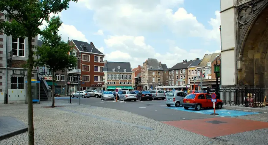
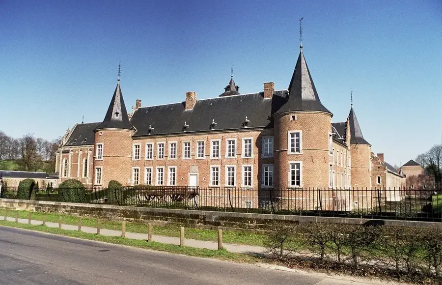
- Top sights: Château de Spirlet · Château de Targnon · Rocher du Promontoire
- Nearby: Spa (11 km)
Best time to visit & climate
The most pleasant time to visit is Jun–Aug.
| Jan | Feb | Mar | Apr | May | Jun | Jul | Aug | Sep | Oct | Nov | Dec | |
|---|---|---|---|---|---|---|---|---|---|---|---|---|
| Avg °C | 1 | 2 | 5 | 9 | 12 | 16 | 18 | 18 | 14 | 10 | 5 | 2 |
| Rain mm | 81 | 72 | 67 | 48 | 70 | 72 | 77 | 87 | 60 | 66 | 75 | 87 |
📋 Practical info
Geography
Explore nearby
Notable places around
Route planner — Car & Motorhome
Where do you start? We build the route here, with stops and country notes along the way.
© OpenStreetMap contributors · OpenRouteService
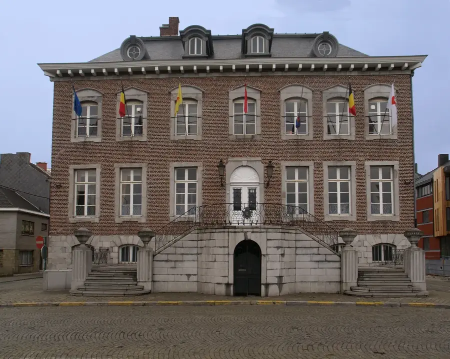
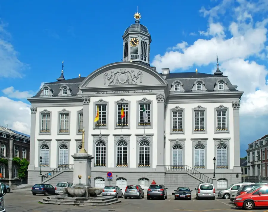
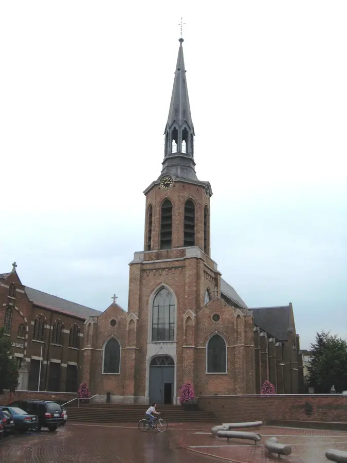
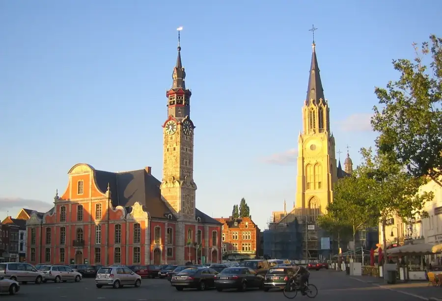
Sights in the town Amblève River (7)
Sights nearby
Frequently asked questions
What is the main attraction on the Amblève river?
Can you go kayaking on the river?
Are there hiking trails along the river?
Which towns are located along the Amblève?
Are there campsites nearby?
Amblève River: where is it located?
Amblève River: what is there to see?
Amblève River: when is the best time to visit?
Amblève River: why is it worth visiting?

Nearby cities