Plizio Visual Lab
Tier de Dieupart
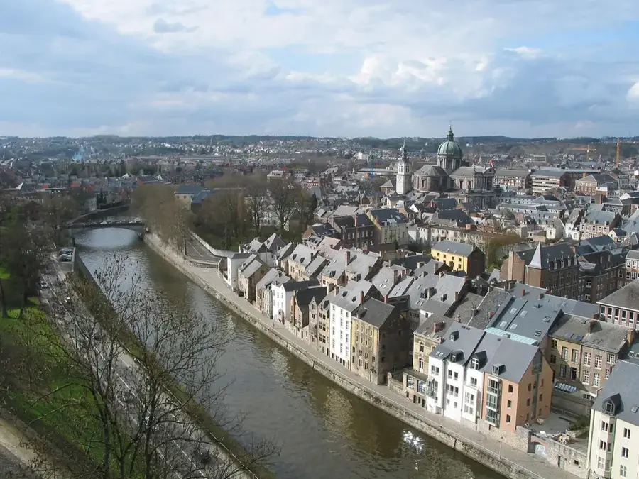
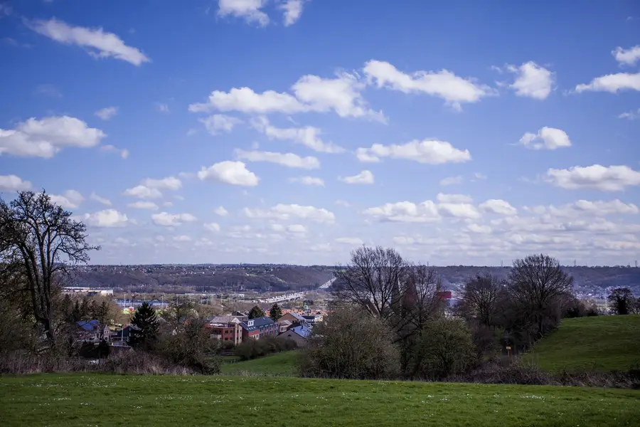
Tier de Dieupart is a prominent limestone ridge rising above Aywaille in the Amblève valley. Geologically, the hill is part of the Calestienne strip and is noted for its steep limestone cliffs and the characteristic 'Dieupart fold,' an impressive example of tectonic deformation. The southern exposure and calcareous subsoil have fostered the development of rare limestone grasslands, which host an extraordinary botanical diversity. Specialized plant species such as various orchids and the yellow pasqueflower can be found here, adapted to the dry and nutrient-poor conditions. The summit provides a sweeping panoramic view over the Amblève valley and the surrounding Ardennes hills. Historically, the area was known for its stone quarries, some of which are now disused and serve as nesting sites for peregrine falcons. As a protected nature reserve, Tier de Dieupart is a vital site for biodiversity conservation in Wallonia and a favored destination for nature-oriented hikers.
- Location: Belgium
- Top sights: Belle-Roche · Les Tartines · Château de Presseux
- Nearby: Esneux (6 km)
Best time to visit & climate
The most pleasant time to visit is Jun–Aug.
| Jan | Feb | Mar | Apr | May | Jun | Jul | Aug | Sep | Oct | Nov | Dec | |
|---|---|---|---|---|---|---|---|---|---|---|---|---|
| Avg °C | 1 | 2 | 5 | 9 | 12 | 16 | 18 | 18 | 14 | 10 | 5 | 2 |
| Rain mm | 81 | 72 | 67 | 48 | 70 | 72 | 77 | 87 | 60 | 66 | 75 | 87 |
📋 Practical info
Geography
Facts
- The hill reaches an elevation of over 200 meters
- The 'Dieupart fold' is a well-known geological monument
- The southern slope hosts rare limestone grasslands
- The town of Aywaille is situated at the foot of the hill
- The area is designated as a protected Natura 2000 site
- Stone quarries historically defined the landscape's appearance
Explore nearby
Notable places around
Route planner — Car & Motorhome
Where do you start? We build the route here, with stops and country notes along the way.
© OpenStreetMap contributors · OpenRouteService
Sights in the town Tier de Dieupart (8)
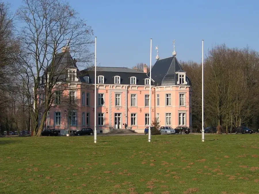
Château de Chanxhe🏰 castle
Castle in Comblain-au-Pont, located on the Ourthe river.
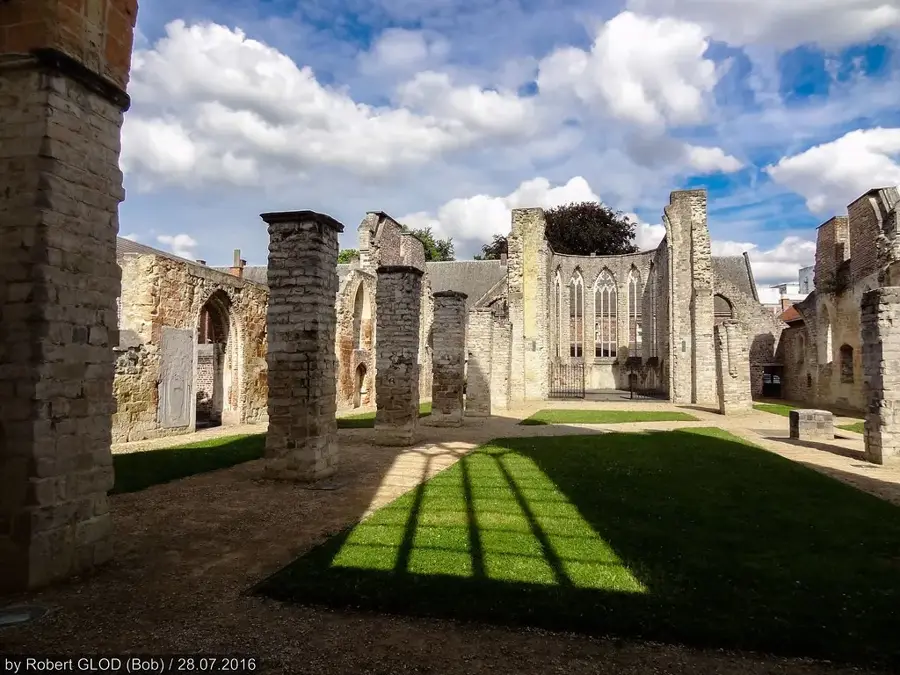
Ancien château d'Amblève🏰 castle
Former castle in Wallonia, now in ruins.
Musée du Pays Ourthe-Amblève🏛 museum
Museum of regional history for the Ourthe-Amblève area.
Ancienne écluse - Canal de l'Ourthe
Old lock on the Ourthe Canal, now abandoned.
Sights nearby
Frequently asked questions
Where is the Tier de Dieupart located?
What makes the climb famous?
How steep is the road?
Are there nature trails there?
How long is the climb?
Tier de Dieupart: where is it located?
Tier de Dieupart: what is there to see?
Tier de Dieupart: when is the best time to visit?
Tier de Dieupart: why is it worth visiting?

Nearby cities