La machine des enfants - Comedy Show
A playful and lively comedy performance at the Petit Théâtre, designed to bring laughter and joy to audiences of all ages.
Plizio Visual Lab
Weather…
Water temperature…
A playful and lively comedy performance at the Petit Théâtre, designed to bring laughter and joy to audiences of all ages.
A witty comedy full of surprises at the Petit Théâtre, promising a memorable evening of high-quality entertainment and laughter.
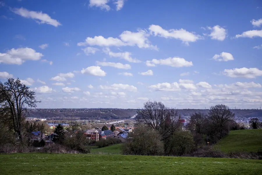
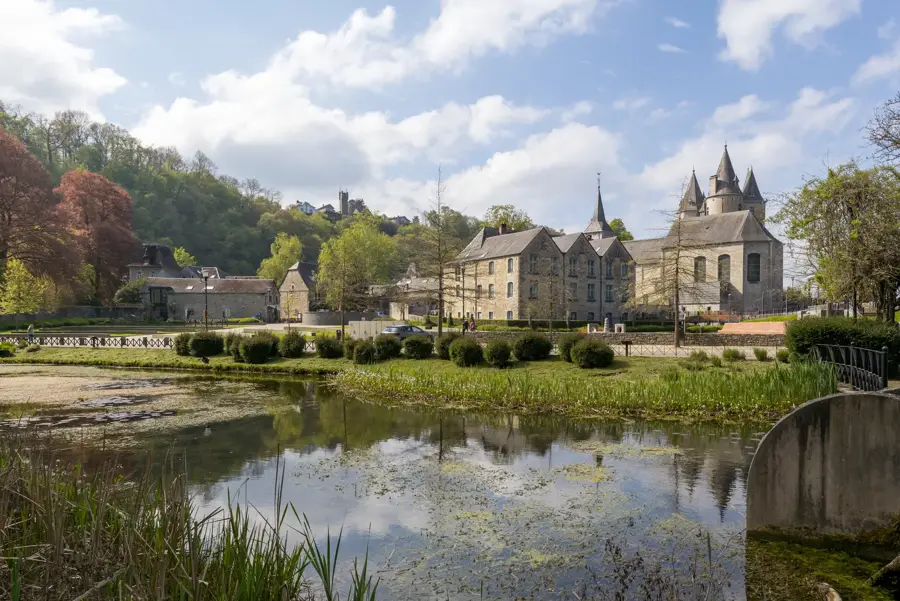
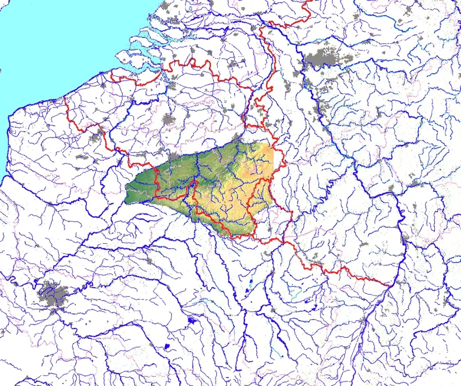
The Amblève Valley is one of the most scenic river valleys in the Belgian Ardennes, located primarily within the province of Liège. The Amblève river originates near Büllingen in the High Fens region and flows for about 93 kilometers until it joins the Ourthe river at Comblain-au-Pont. Geologically, the valley is characterized by its deep incision into the Devonian rock of the Ardennes, resulting in steep slopes and spectacular rock formations such as the 'Fond des Quarreux' quartzite blocks. A famous landmark is the Waterfall of Coo, which at 15 meters high is one of Belgium's most significant waterfalls; it was artificially created by monks in the 18th century by bypassing a river bend. In Remouchamps, the valley also hosts one of the longest underground navigable waterways in the world within its show caves. Historically, the Amblève served as a crucial energy source for mills and early industrial sites in the Malmedy and Stavelot regions.
The most pleasant time to visit is Jun–Aug.
| Jan | Feb | Mar | Apr | May | Jun | Jul | Aug | Sep | Oct | Nov | Dec | |
|---|---|---|---|---|---|---|---|---|---|---|---|---|
| Avg °C | 0 | 0 | 4 | 8 | 12 | 15 | 17 | 17 | 13 | 9 | 5 | 1 |
| Rain mm | 86 | 76 | 72 | 53 | 77 | 79 | 84 | 91 | 66 | 70 | 78 | 90 |
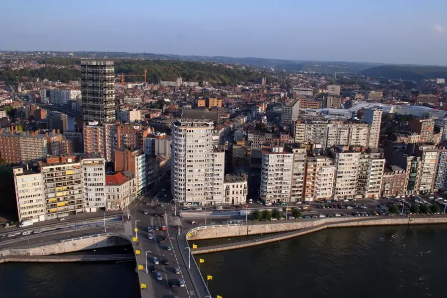
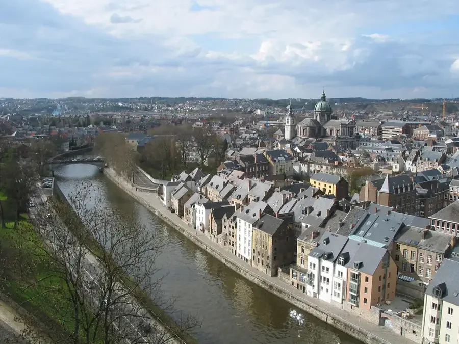
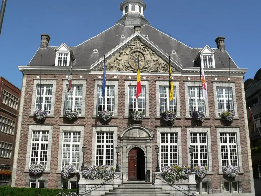
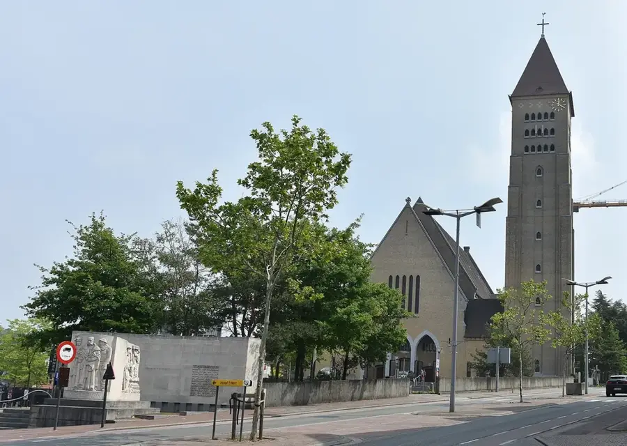
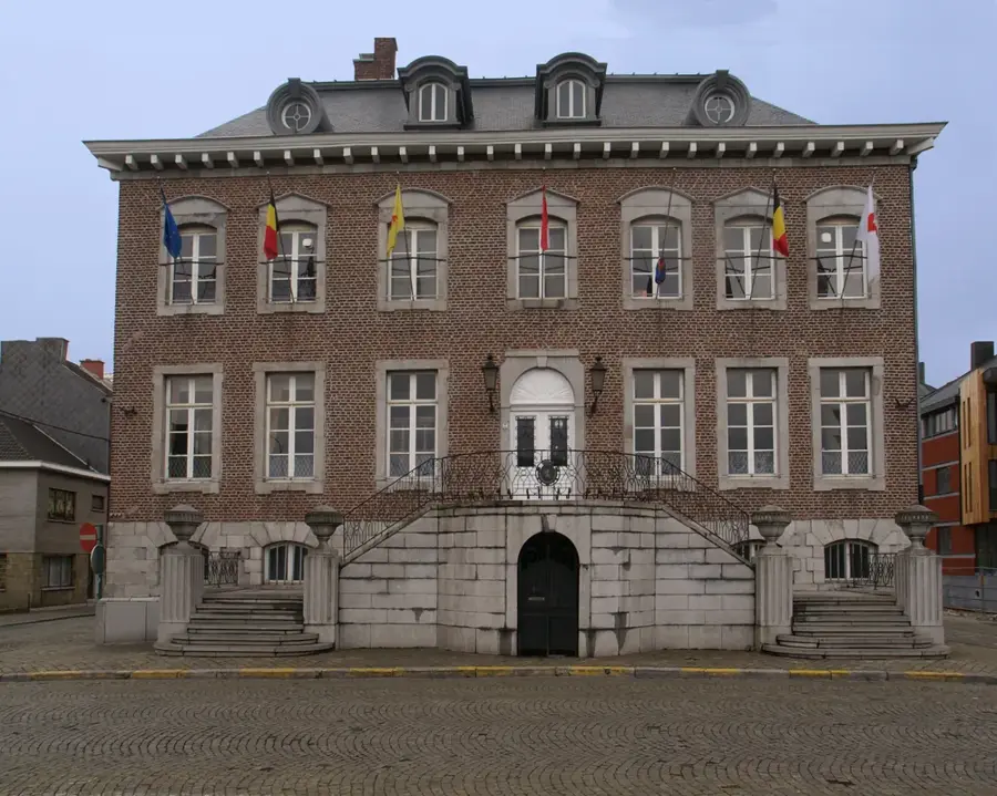
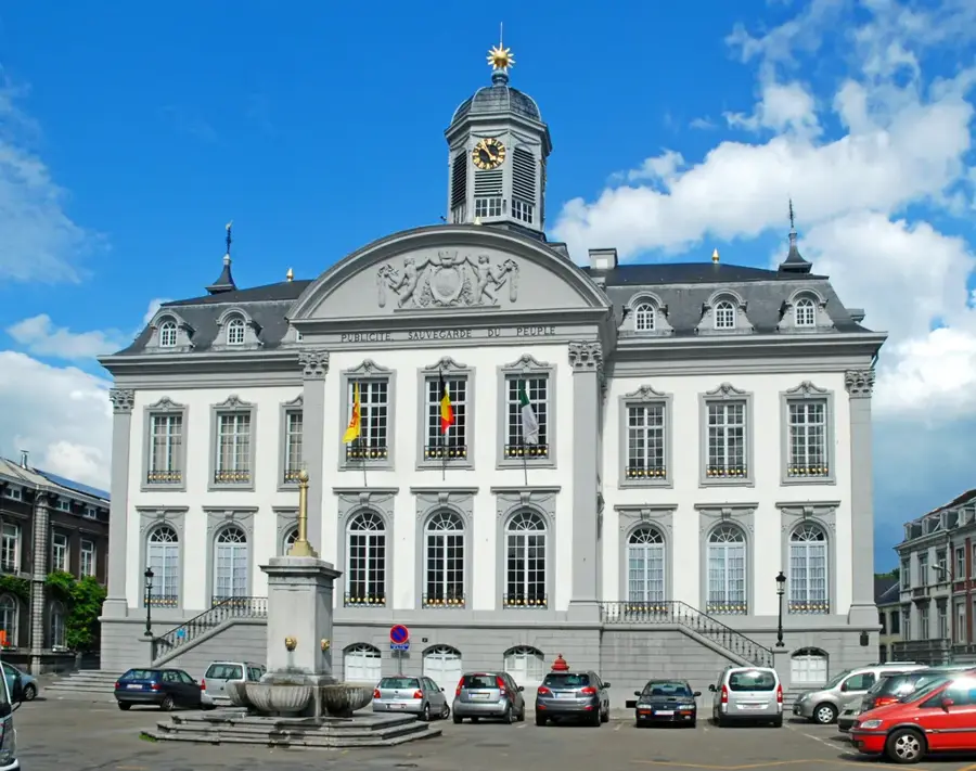
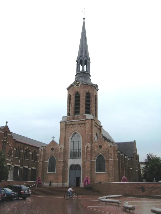
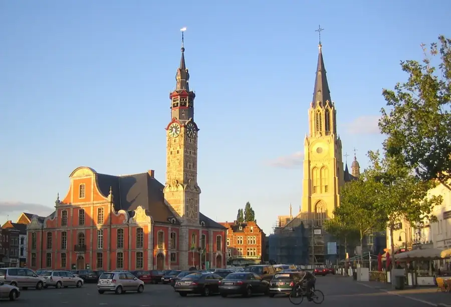
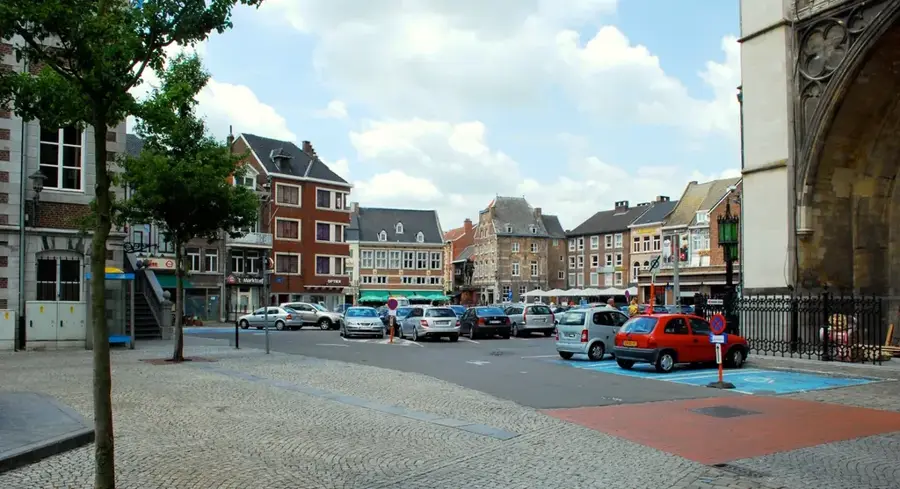
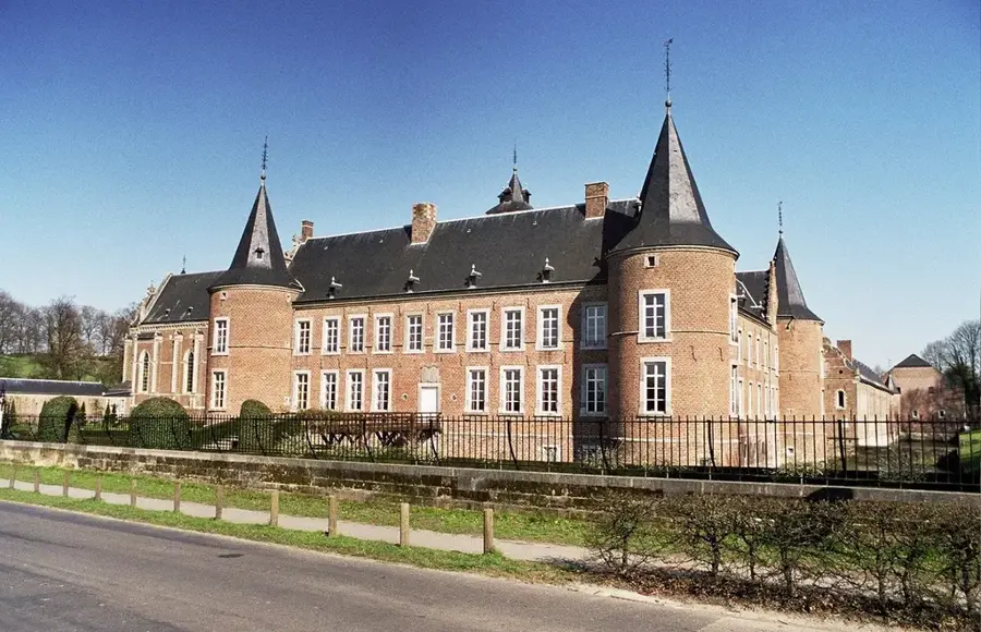
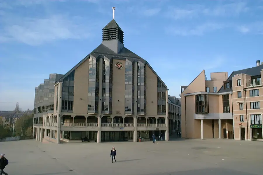
Notable places around
Where do you start? We build the route here, with stops and country notes along the way.
© OpenStreetMap contributors · OpenRouteService