Plizio Visual Lab
Western Dvina River
Weather…
Water temperature…
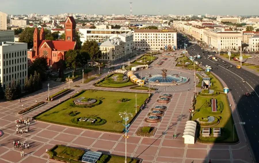
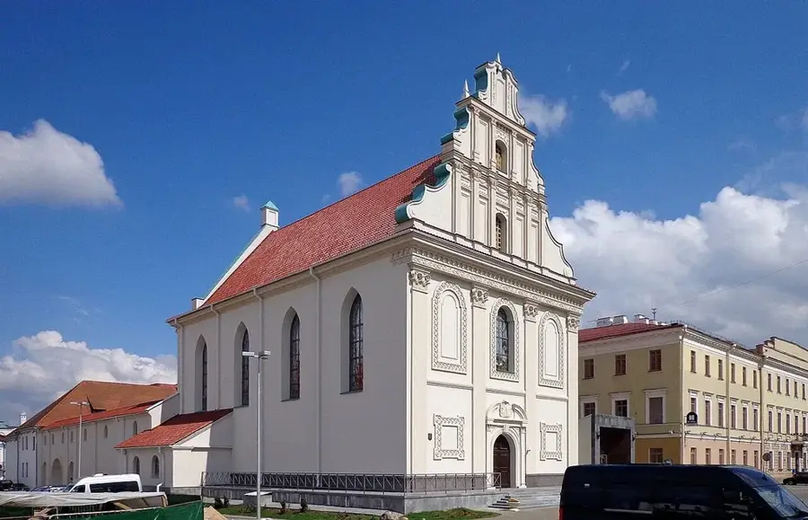
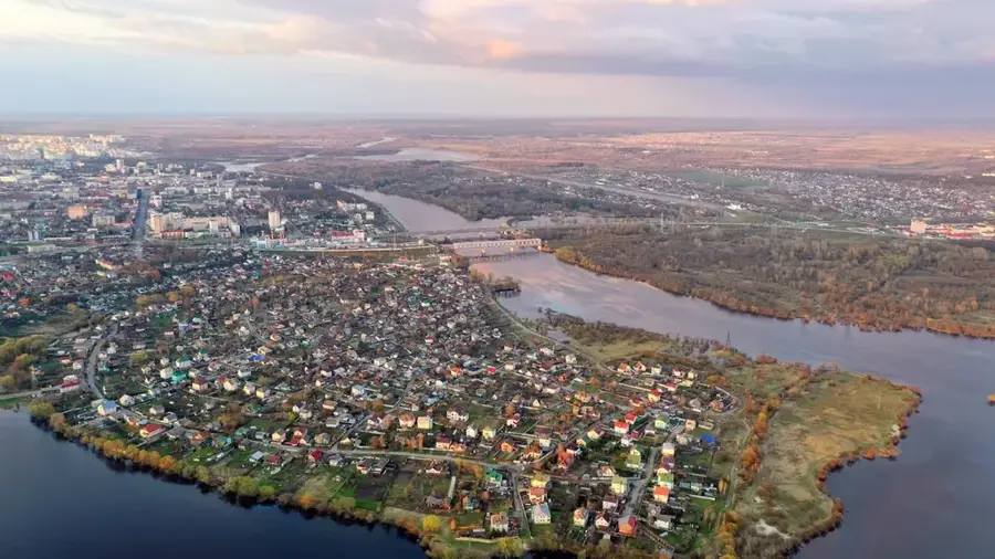
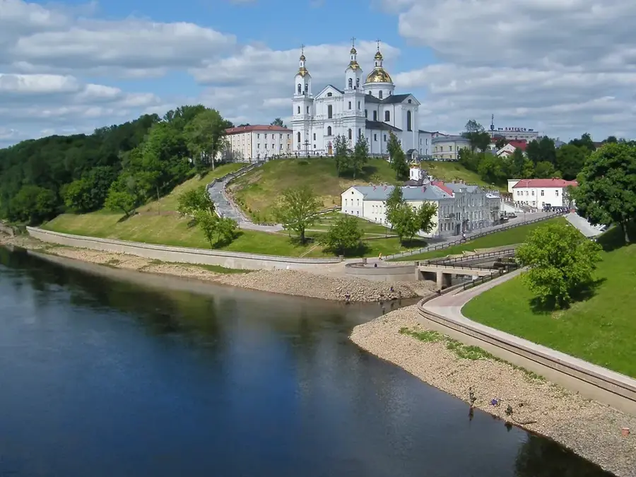
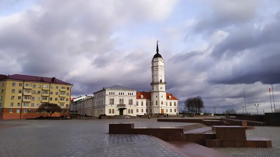
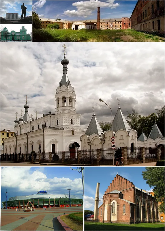
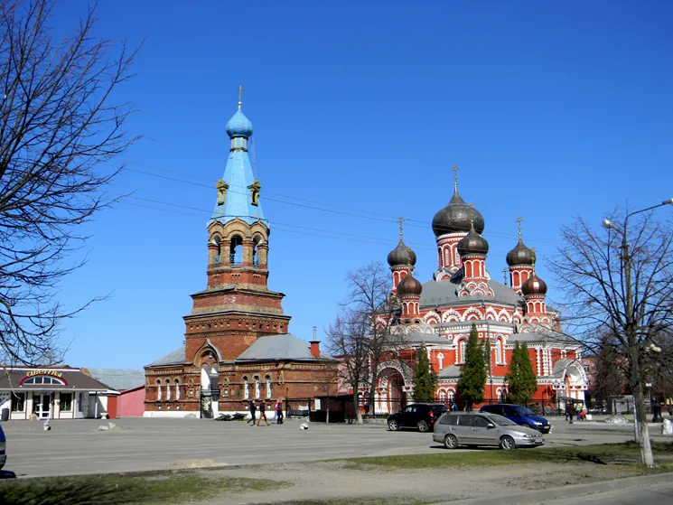
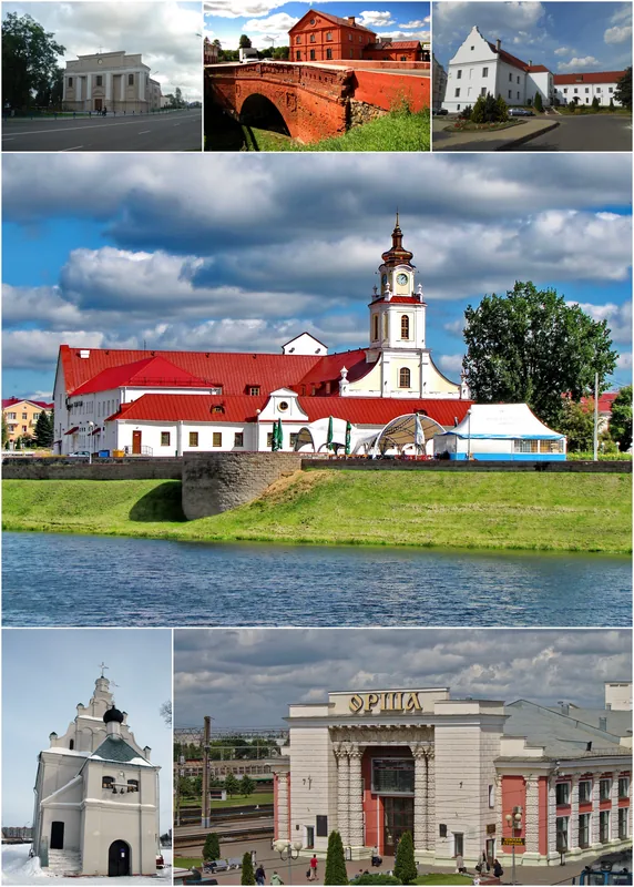
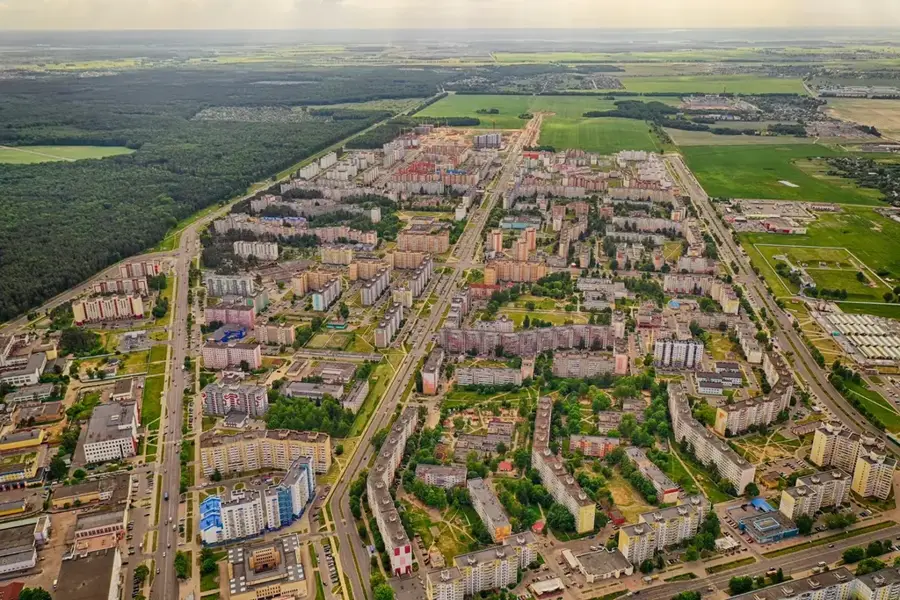
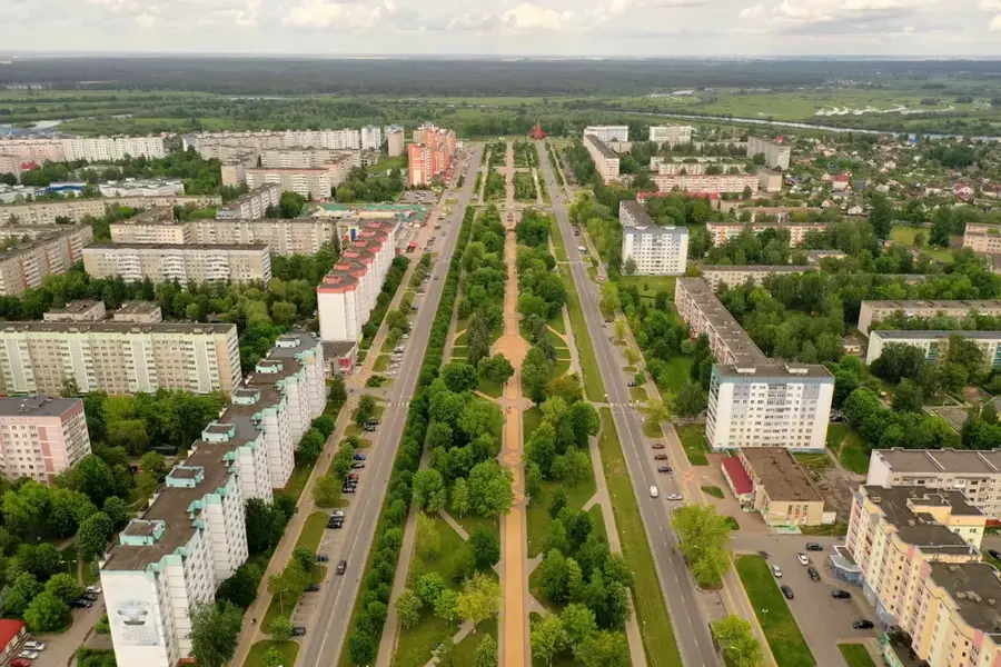
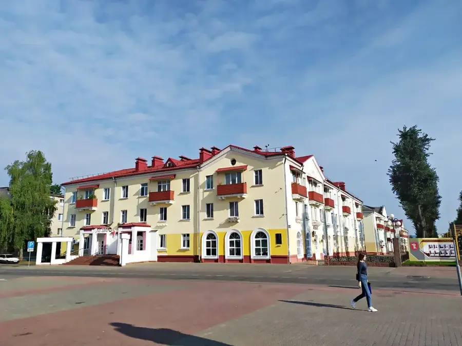
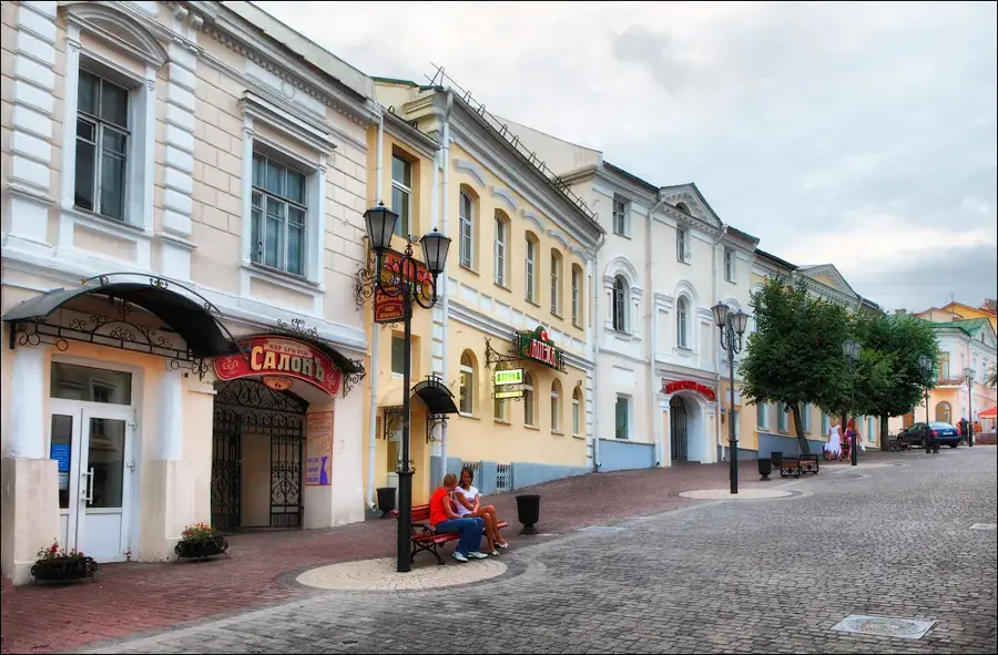
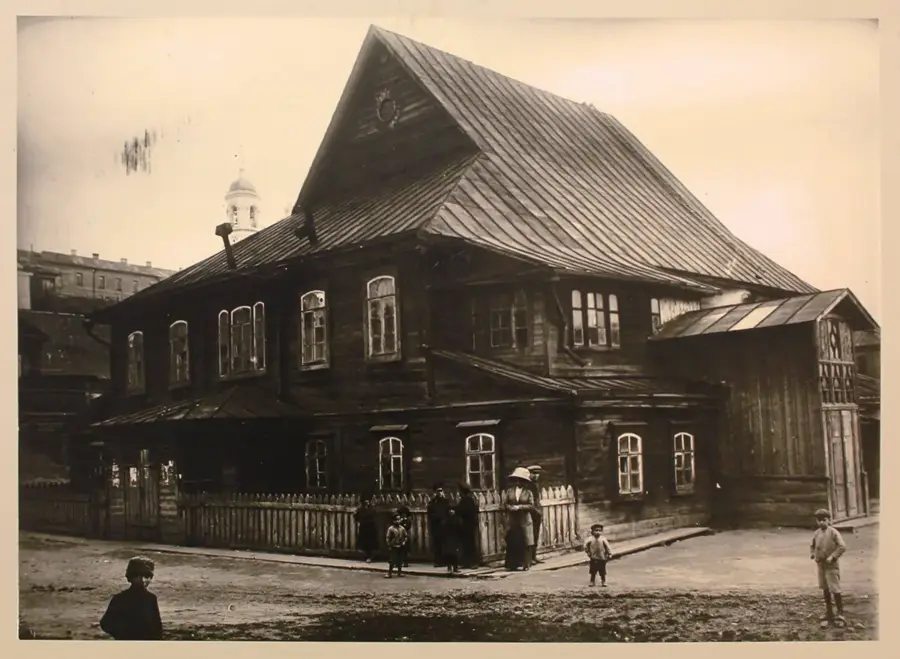
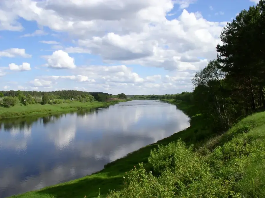
The Western Dvina is a 1,020-kilometer-long river that ranks among the most significant waterways in Northern Europe. On its journey from the Valdai Hills in Russia to the Baltic Sea in Latvia, it flows through the northern part of Belarus for a distance of 328 kilometers. The Belarusian riparian areas are characterized by easy on the eye hills, dense forests, and historic settlements. Among the most important cities on the Western Dvina in Belarus are Vitebsk, the cultural capital of the north, and Polotsk, one of the oldest cities in the country. Historically, the river was an integral part of the Viking trade route on their way to Byzantium, which led to the early economic and cultural development of the region. Today, the river course is not only a habitat for many fish species but also an important economic asset; several hydroelectric power plants utilize its steady gradient for eco-friendly electricity generation.
- Location: Belarus
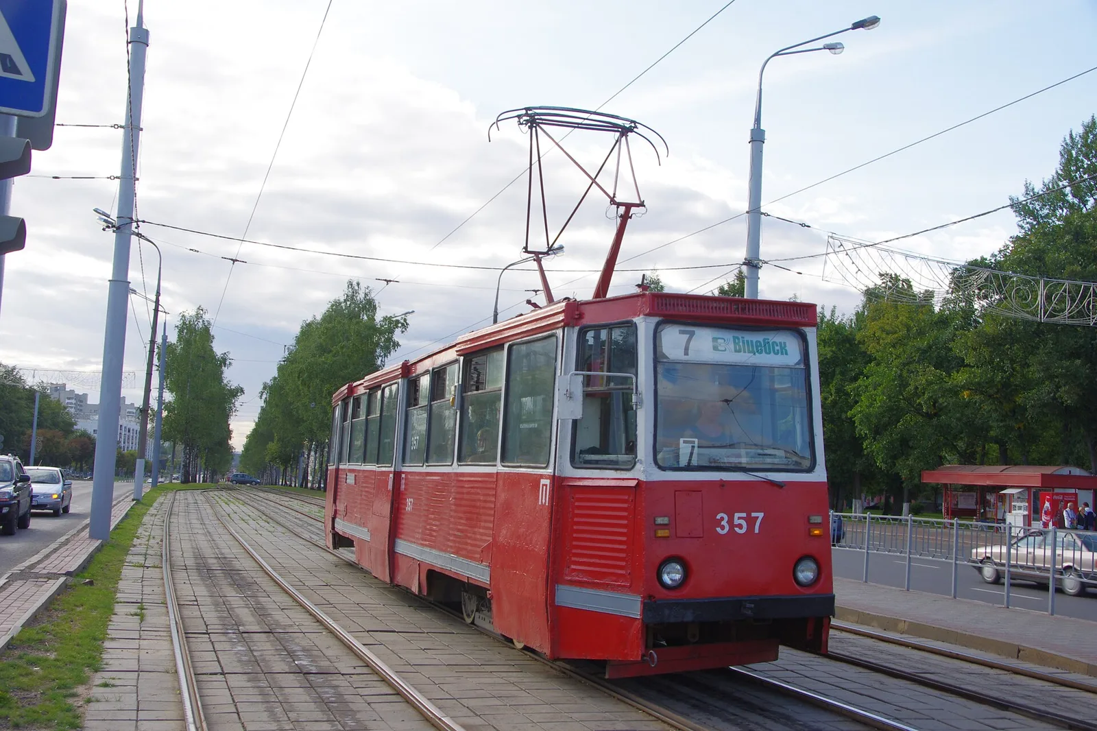
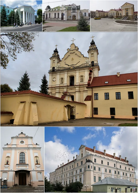
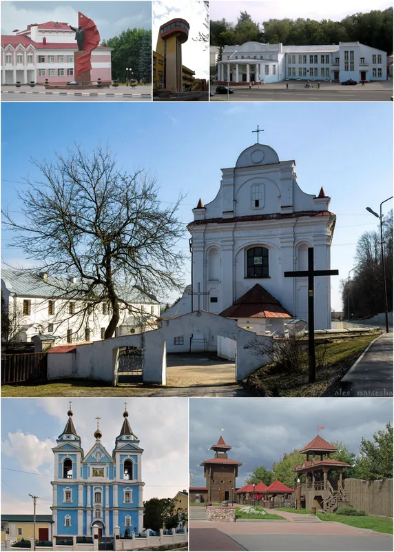
- Nearby: Vitebsk (30 km)
Best time to visit & climate
The most pleasant time to visit is Jun–Aug.
| Jan | Feb | Mar | Apr | May | Jun | Jul | Aug | Sep | Oct | Nov | Dec | |
|---|---|---|---|---|---|---|---|---|---|---|---|---|
| Avg °C | -8 | -7 | -2 | 5 | 12 | 16 | 18 | 17 | 12 | 5 | 0 | -5 |
| Rain mm | 58 | 48 | 50 | 53 | 83 | 86 | 101 | 88 | 64 | 80 | 68 | 59 |
📋 Practical info
Geography
Explore nearby
Notable places around
Route planner — Car & Motorhome
Where do you start? We build the route here, with stops and country notes along the way.
© OpenStreetMap contributors · OpenRouteService
Sights nearby
Frequently asked questions
Which major cities are on the Western Dvina in Belarus?
Can you go on river cruises?
What is the landscape like along the banks?
Is the water clean enough for swimming?
What bird species can be seen?
Western Dvina River: where is it located?
Western Dvina River: when is the best time to visit?
Western Dvina River: why is it worth visiting?

Nearby cities