Plizio Visual Lab
Surazh Lowland
Weather…
Water temperature…
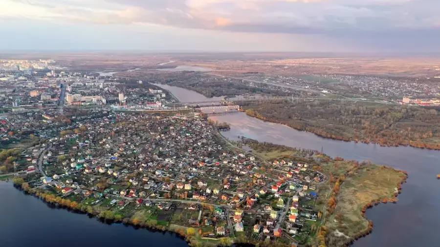
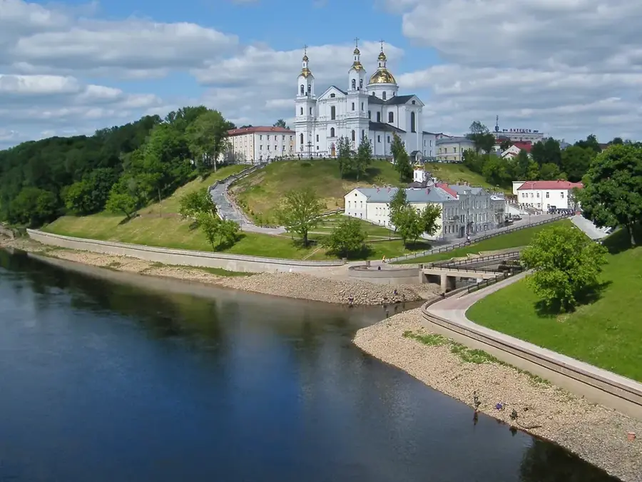
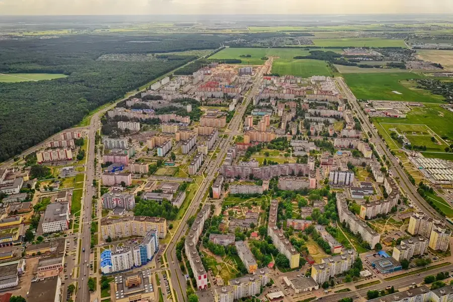
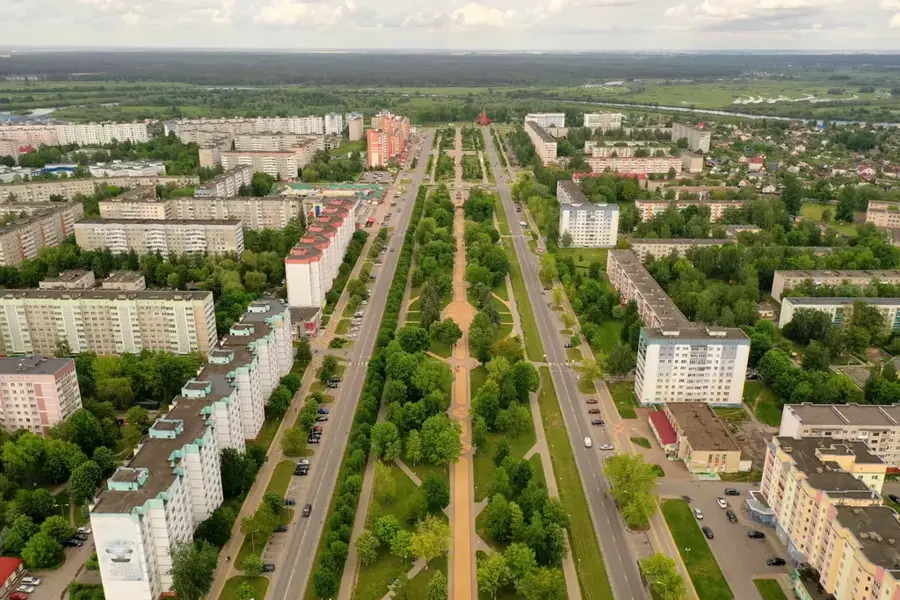
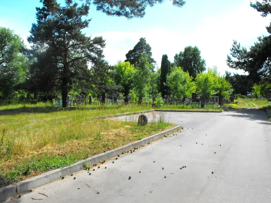
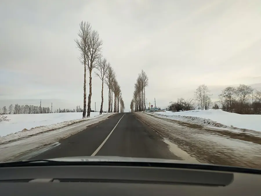
The Surazh Lowland is located in the extreme northeast of Belarus, nestling directly against the border with the Russian Federation. It is a sweeping, flat depression with an average elevation consistently hovering between 150 and 160 meters. This topographic hollow was originally formed as a catchment basin for glacial meltwaters and, in more recent geological times, has been further modeled by the erosive power of the Western Dvina and its tributaries, particularly the Kasplya River. The prevailing soils consist of sandy and loamy glaciofluvial deposits which, due to the low relief energy and dense underlying clay layers, are highly prone to waterlogging. As a result, countless small bogs, swampy depressions, and wet meadows crisscross the landscape. Because of the poor soil drainage, large-scale agriculture has scarcely taken root here. Instead, the Surazh Lowland remains a wildly romantic, highly forested region, where extensive spruce, pine, and birch forests cover more than 40 percent of the area.
- Location: Belarus
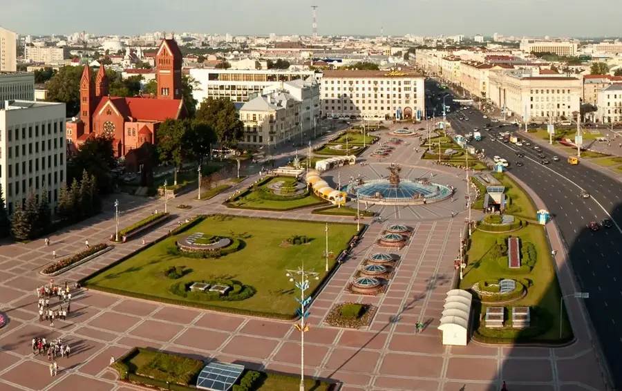
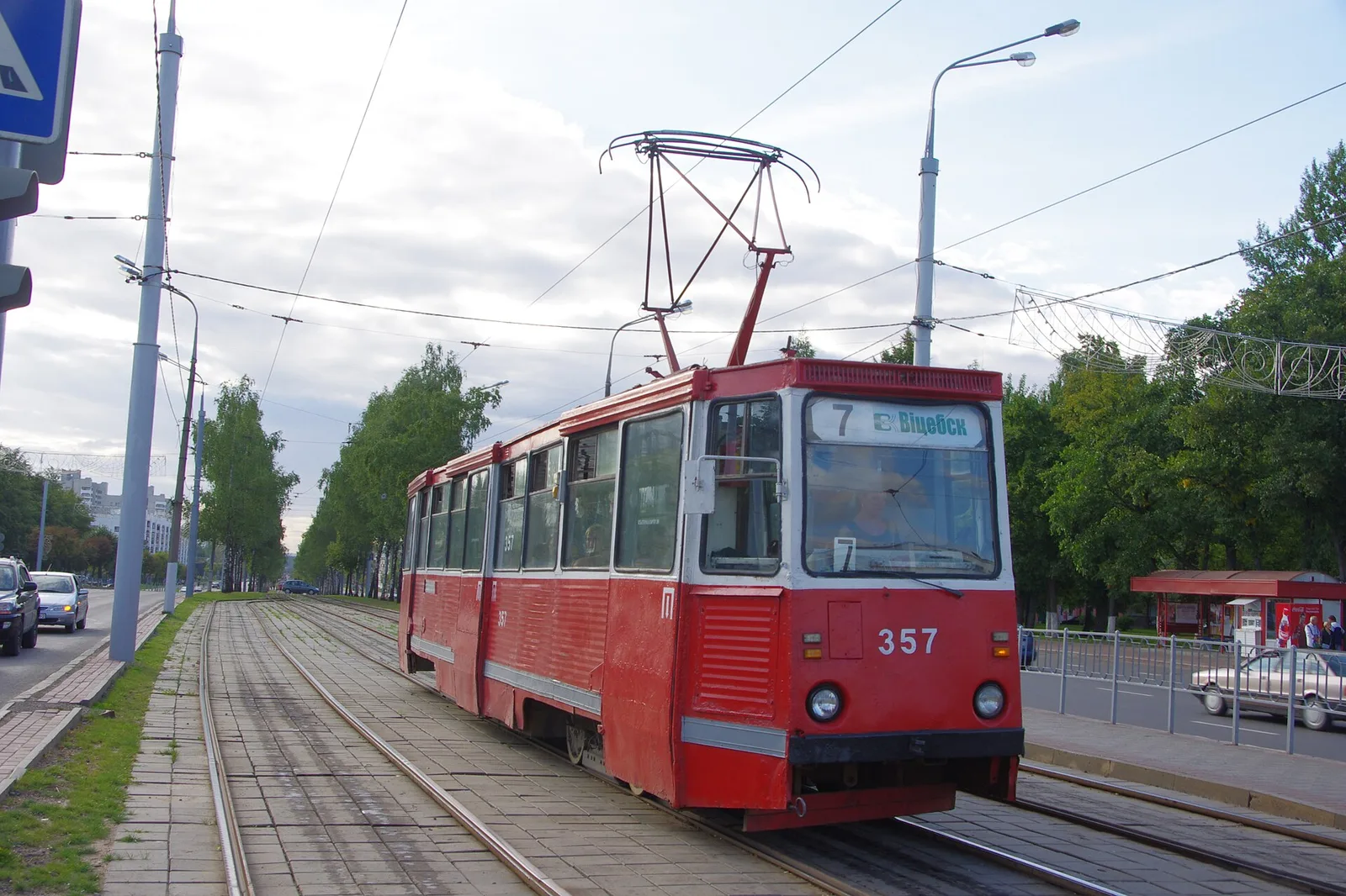
- Nearby: Vitebsk Special Economic Zone (54 km)
Best time to visit & climate
The most pleasant time to visit is Jun–Aug.
| Jan | Feb | Mar | Apr | May | Jun | Jul | Aug | Sep | Oct | Nov | Dec | |
|---|---|---|---|---|---|---|---|---|---|---|---|---|
| Avg °C | -8 | -8 | -2 | 5 | 12 | 16 | 18 | 17 | 12 | 5 | 0 | -5 |
| Rain mm | 56 | 47 | 50 | 52 | 84 | 86 | 98 | 89 | 65 | 80 | 67 | 58 |
📋 Practical info
Geography
Explore nearby
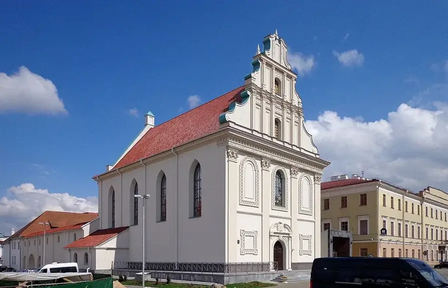
Notable places around
Route planner — Car & Motorhome
Where do you start? We build the route here, with stops and country notes along the way.
© OpenStreetMap contributors · OpenRouteService
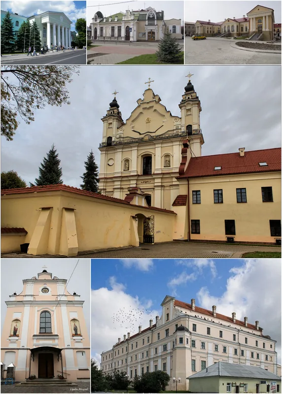
Sights in the town Surazh Lowland (1)
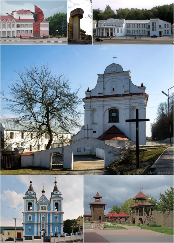
Sights nearby
Frequently asked questions
Where is the Surazh Lowland located?
What characterizes nature here?
Are there camping facilities there?
Can you go fishing in the Dvina?
Are the forest paths suitable for bicycles?
Surazh Lowland: where is it located?
Surazh Lowland: when is the best time to visit?
Surazh Lowland: why is it worth visiting?

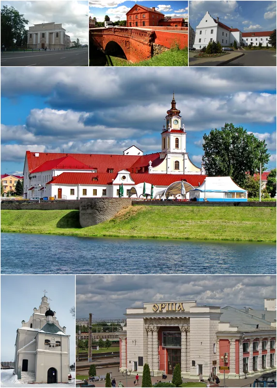
Nearby cities