Plizio Visual Lab
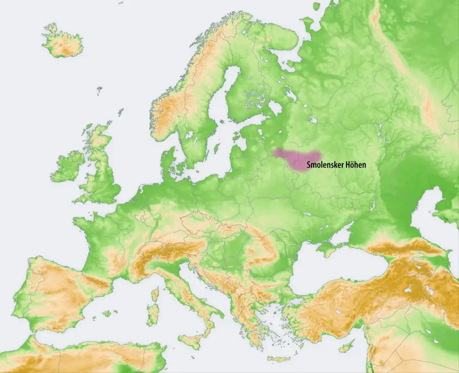
Vitebsk Upland
Weather…
Water temperature…
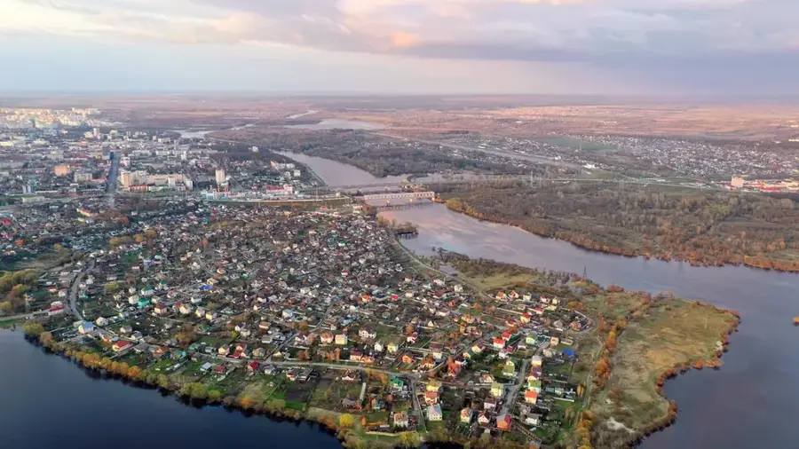
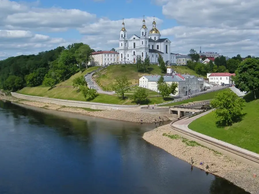
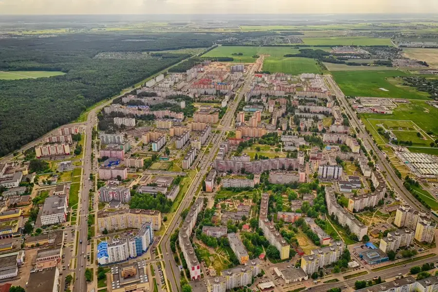
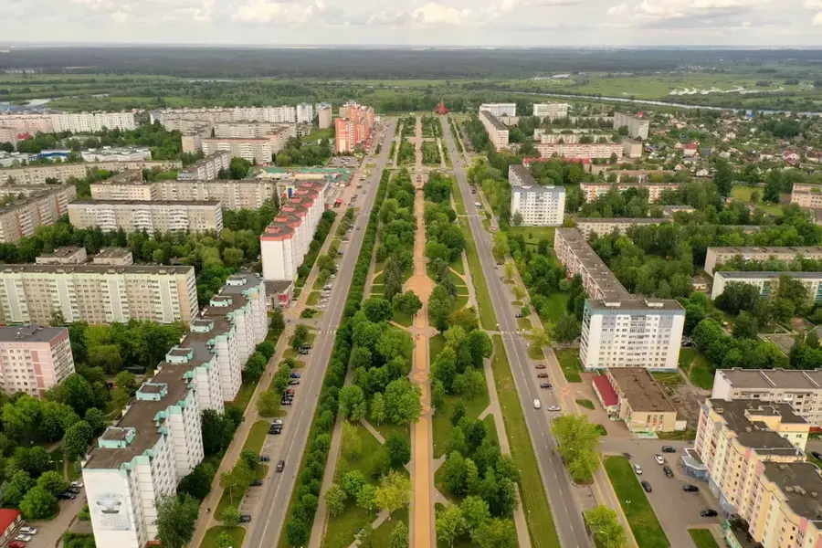
The Vitebsk Upland, situated in the extreme northeast of Belarus directly bordering the Russian Federation, is one of the country's most rugged topographical features. This elevated region maintains an average altitude of 200 to 250 meters above sea level, reaching its pinnacle at Hara Hardsets with an elevation of 296 meters. The geomorphological landscape was heavily sculpted by the glacial masses of the last Ice Age (the Valdai glaciation), which left behind massive terminal moraines composed of loam, clay, sand, and glacial erratics. The terrain is deeply dissected by a dense network of deeply incised river valleys, such as the Luchesa and its tributaries, as well as steep ravines and kettle holes. The resulting relative elevation differences, which can be up to 60 meters, give the landscape a rough, uneven character. A significant portion of the upland is cloaked in boreal coniferous and mixed forests, occasionally interspersed with small bogs and agricultural plots in the lower depressions.
- Location: Belarus
- Nearby: Vitebsk Special Economic Zone (28 km)
Best time to visit & climate
The most pleasant time to visit is Jun–Aug.
| Jan | Feb | Mar | Apr | May | Jun | Jul | Aug | Sep | Oct | Nov | Dec | |
|---|---|---|---|---|---|---|---|---|---|---|---|---|
| Avg °C | -8 | -7 | -2 | 5 | 12 | 16 | 18 | 17 | 12 | 5 | 0 | -5 |
| Rain mm | 58 | 48 | 51 | 53 | 87 | 88 | 100 | 90 | 61 | 78 | 67 | 59 |
📋 Practical info
Geography
Explore nearby
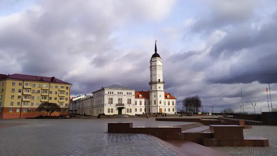
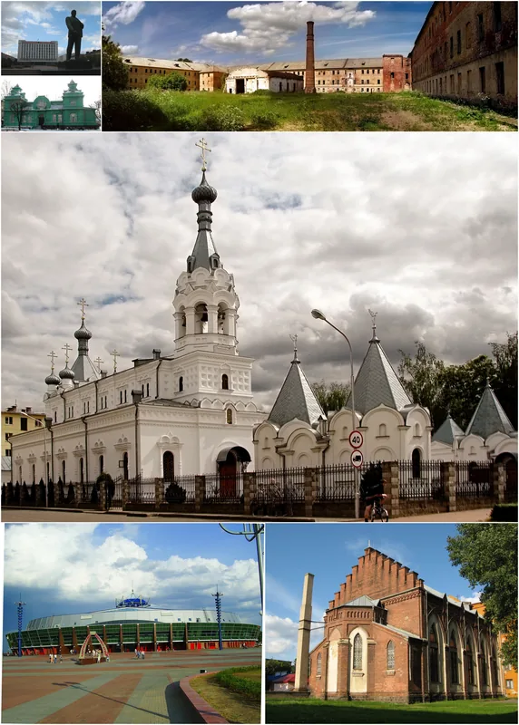
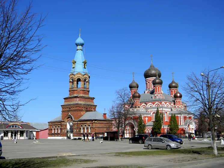
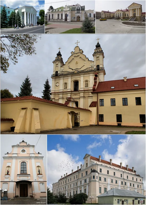
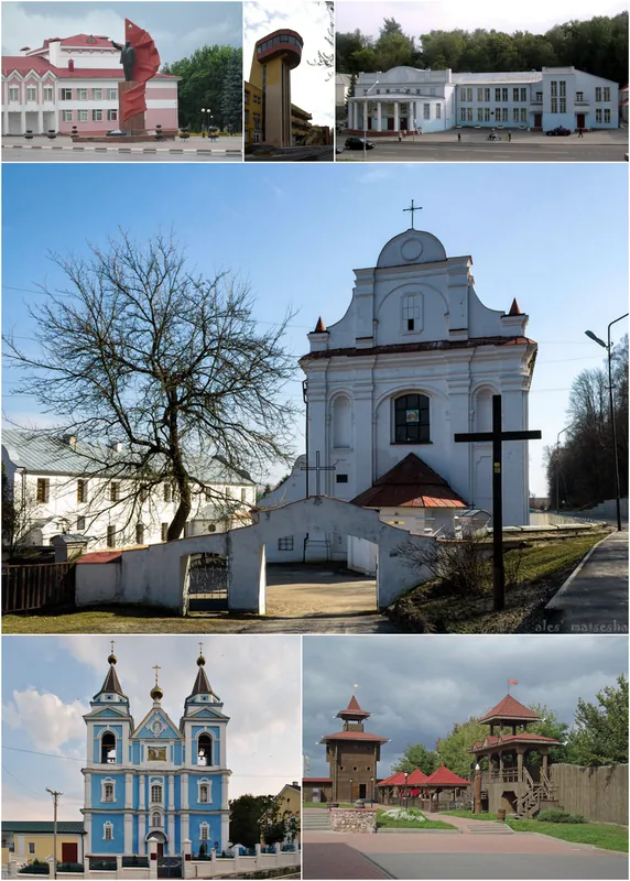
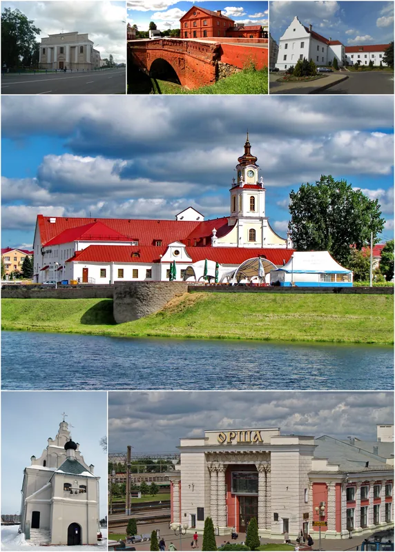
Notable places around
Route planner — Car & Motorhome
Where do you start? We build the route here, with stops and country notes along the way.
© OpenStreetMap contributors · OpenRouteService
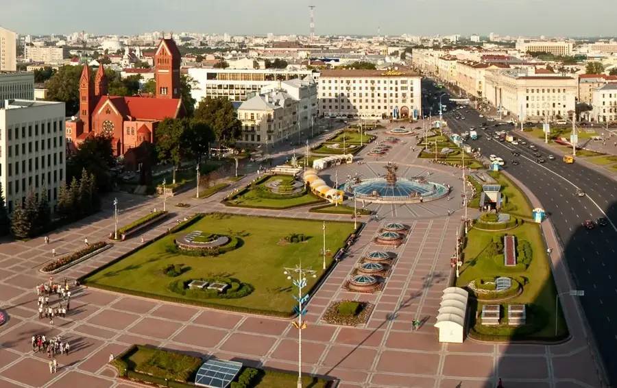
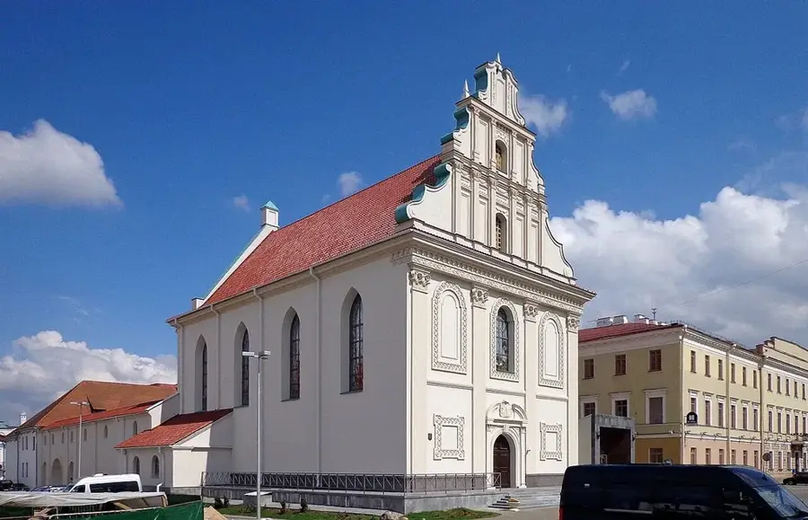
Sights nearby
Frequently asked questions
Where is the Vitebsk Upland located?
What is the maximum elevation?
Are there many lakes there?
Which rivers originate here?
Is the area forested?
Vitebsk Upland: where is it located?
Vitebsk Upland: when is the best time to visit?
Vitebsk Upland: why is it worth visiting?

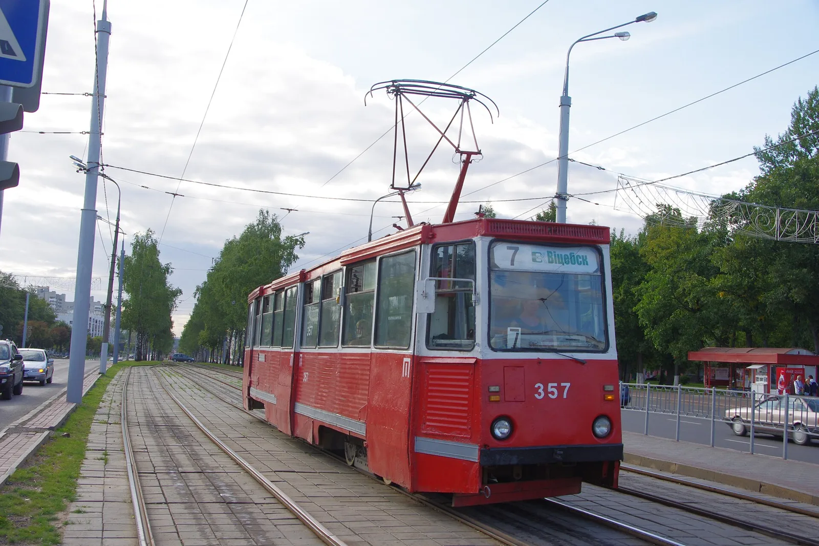
Nearby cities