Plizio Visual Lab
Zorats Karer

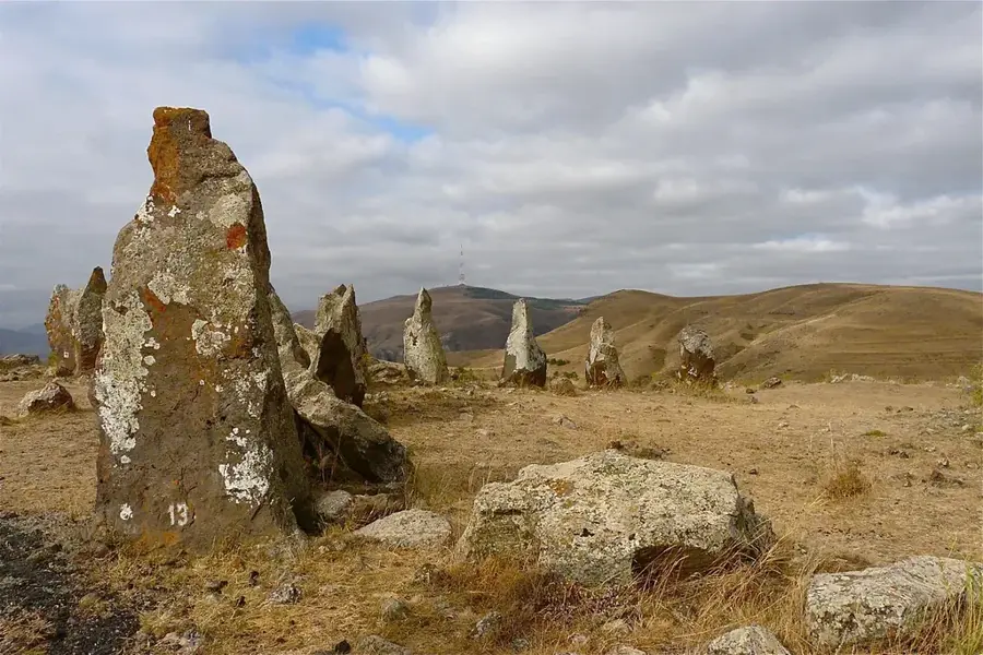
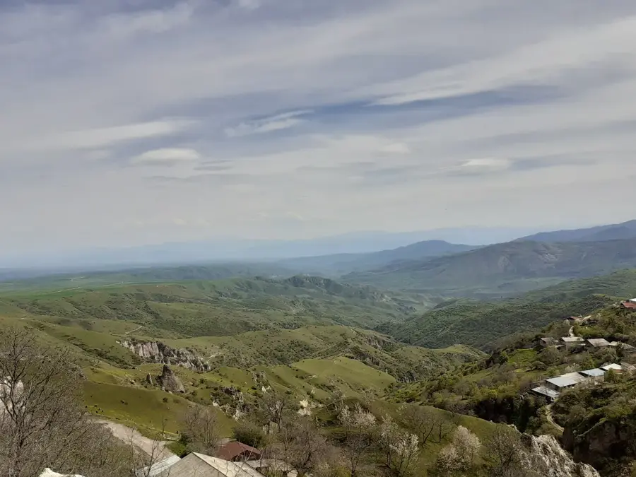
Zorats Karer, also known as Karahunj, is a prehistoric megalithic site located in the Syunik Province, frequently referred to as the 'Armenian Stonehenge.' The site consists of 223 massive vertical basalt stones spread across a seven-hectare plateau. These megaliths vary in height from 0.5 to 3 meters and weigh up to 10 tons each. A distinctive feature of the site is the presence of small circular holes bored into the upper part of about 80 stones, leading many researchers to theorize that it functioned as an ancient astronomical observatory. While some estimates suggest the site dates back to the Middle Bronze Age (approx. 2000 BC), other archaeologists propose it could be much older, potentially pre-dating its British counterpart. In addition to its celestial function, Zorats Karer likely served as a necropolis, as evidenced by the numerous burial cists found throughout the area. At an elevation of 1,770 meters, the standing stones create a mysterious and evocative silhouette against the rugged Armenian highlands.
- Location: Armenia
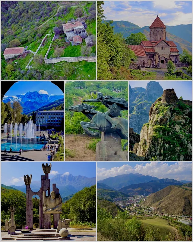
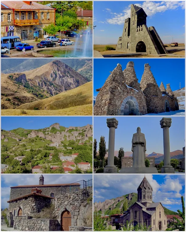
- Top sights: Aghitu (Aghudi) Memorial · Sisian History Museum · Named after Hamo Sahyan
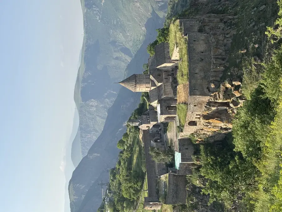
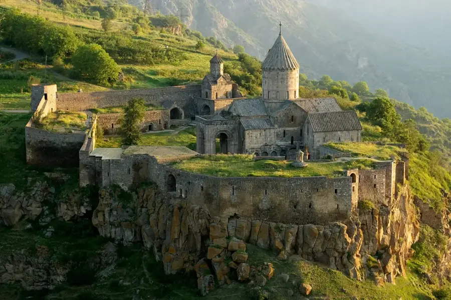
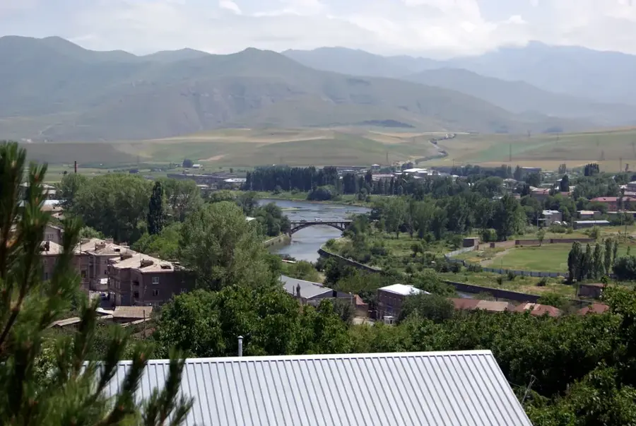
- Nearby: Tatev (Halidzor) (32 km)
Best time to visit & climate
The most pleasant time to visit is Jun–Aug.
| Jan | Feb | Mar | Apr | May | Jun | Jul | Aug | Sep | Oct | Nov | Dec | |
|---|---|---|---|---|---|---|---|---|---|---|---|---|
| Avg °C | -4 | -2 | 2 | 6 | 12 | 16 | 18 | 18 | 15 | 9 | 2 | -2 |
| Rain mm | 15 | 17 | 31 | 37 | 46 | 28 | 13 | 11 | 17 | 29 | 21 | 16 |
📋 Practical info
Geography
Facts
- Stone count: The site features a total of 223 basalt megaliths
- Area: The complex covers approximately 7 hectares of land
- Holes: Precise circular holes are found in about 80 of the stones
- Altitude: Situated at an elevation of 1,770 meters above sea level
- Distance: Located about 200 km south of the capital, Yerevan
- Function: Widely believed to be an ancient astronomical observatory
Explore nearby
Notable places around
Route planner — Car & Motorhome
Where do you start? We build the route here, with stops and country notes along the way.
© OpenStreetMap contributors · OpenRouteService
Sights in the town Zorats Karer (12)
Sights nearby
Frequently asked questions
What is Zorats Karer?
How much time should I plan?
When is the best time to visit?
How do you reach the site?
Is there an entry fee or facilities?
Zorats Karer: where is it located?
Zorats Karer: what is there to see?
Zorats Karer: when is the best time to visit?
Zorats Karer: why is it worth visiting?

Nearby cities
History & landmarks
Nature
More places