Plizio Visual Lab
Uruguay River
Weather…
Water temperature…
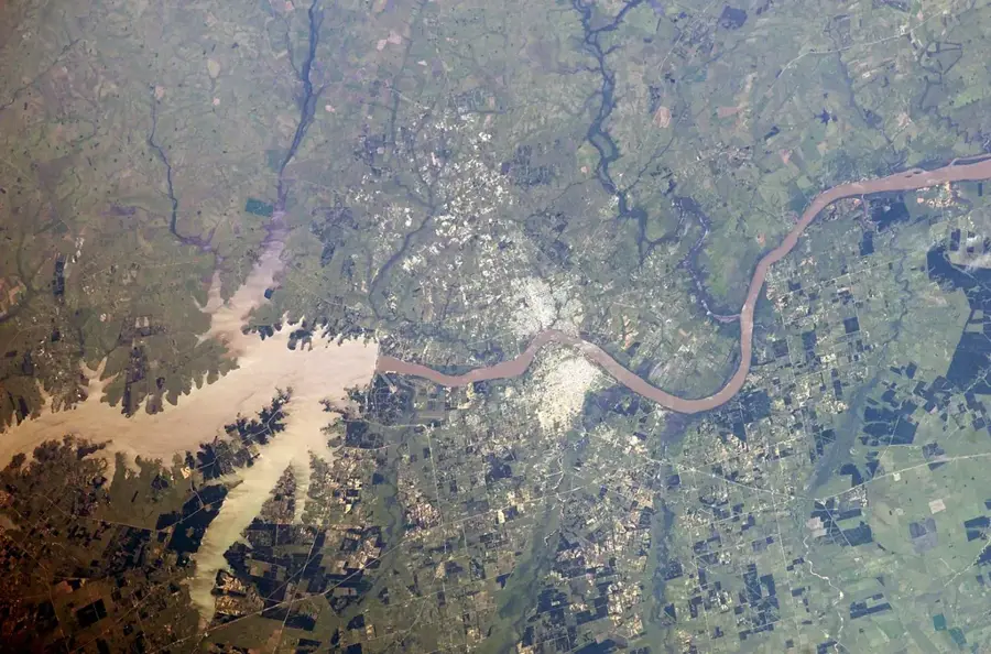
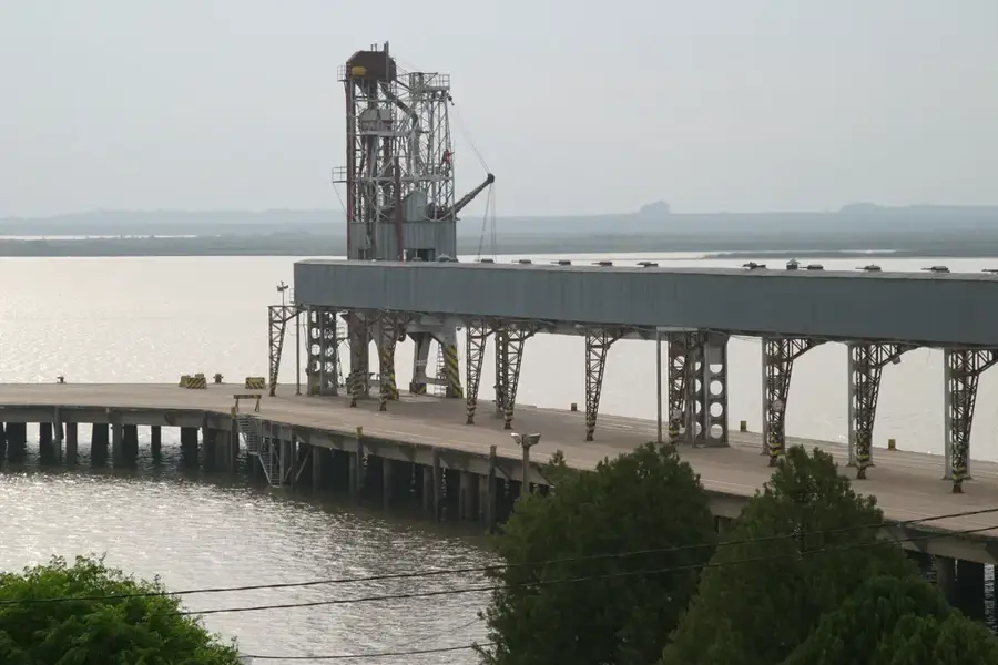
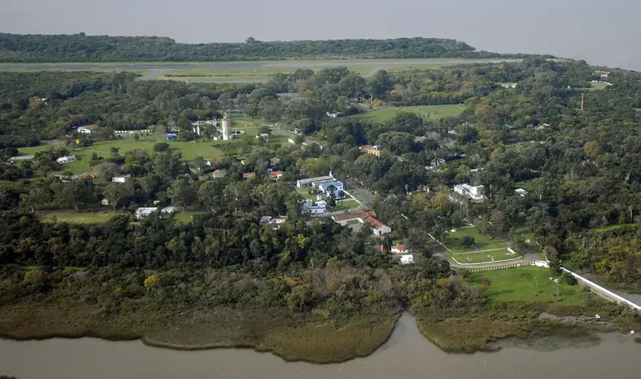
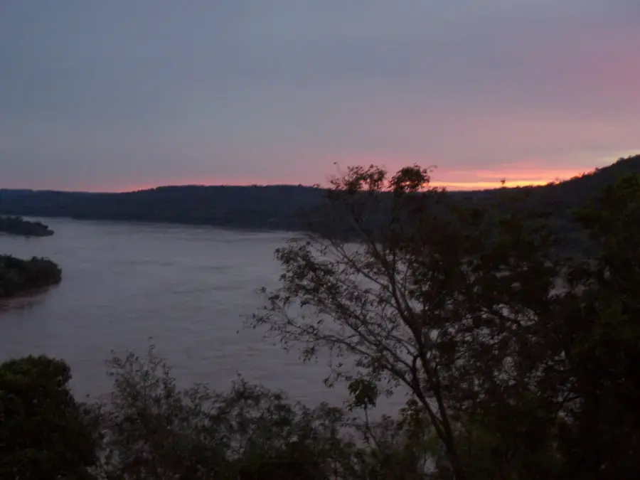
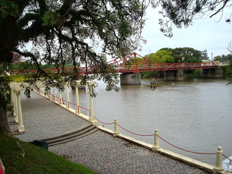
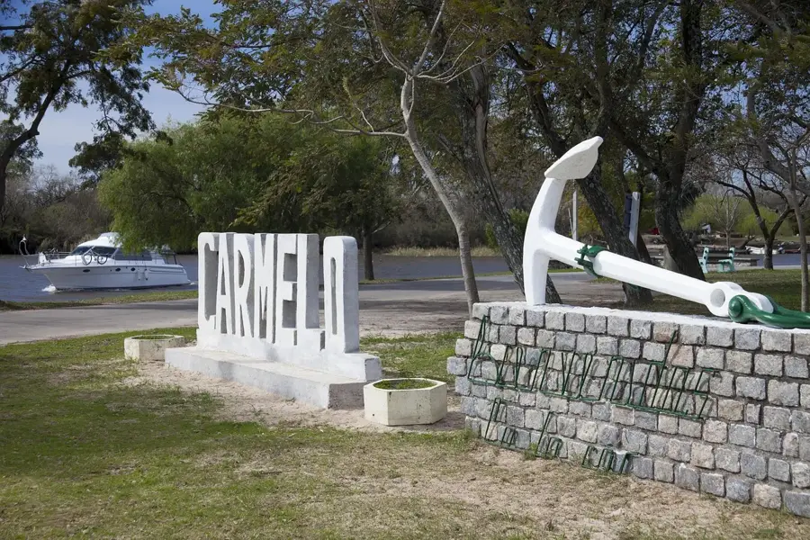
The Uruguay River originates in the coastal mountains of Brazil and flows south for approximately 1,838 kilometers, serving as a natural border between Argentina and Brazil, and further south between Argentina and Uruguay. Along with the Paraná River, it forms the massive Río de la Plata estuary. One of the most extraordinary natural features of the river is the Saltos del Moconá, a three-kilometer-long waterfall that runs parallel to the riverbed, a phenomenon nearly unique in the world. The river is vital for regional energy production, most notably through the Salto Grande Dam, a collaborative project between Argentina and Uruguay. Ecologically, it supports diverse habitats, including the El Palmar National Park, which protects ancient Yatay palm forests. The Uruguay River is known for its clear waters compared to the Paraná and is a popular destination for recreational fishing and river tourism, with numerous sandy beaches and thermal springs along its banks. It remains a key symbol of regional integration and an essential resource for the agriculture and industry of the surrounding provinces.
- Location: Argentina
- Nearby: San Isidro (38 km)
Best time to visit & climate
The most pleasant time to visit is Mar, Nov, Dec.
| Jan | Feb | Mar | Apr | May | Jun | Jul | Aug | Sep | Oct | Nov | Dec | |
|---|---|---|---|---|---|---|---|---|---|---|---|---|
| Avg °C | 25 | 24 | 21 | 18 | 14 | 11 | 10 | 12 | 14 | 17 | 21 | 23 |
| Rain mm | 119 | 130 | 129 | 105 | 75 | 50 | 65 | 70 | 84 | 118 | 104 | 108 |
📋 Practical info
Geography
Facts
- The river flows for a total of 1,838 kilometers.
- It acts as a border for Argentina, Brazil, and Uruguay.
- The Salto Grande hydroelectric plant produces 8,300 GWh annually.
- The Moconá Falls stretch for over 3 kilometers along the river.
- The name 'Uruguay' means 'river of painted birds' in Guarani.
- It converges with the Paraná to form the Río de la Plata.
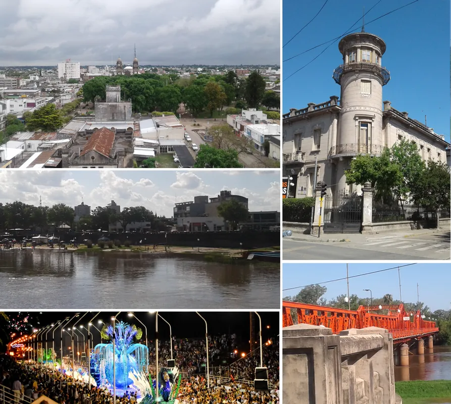
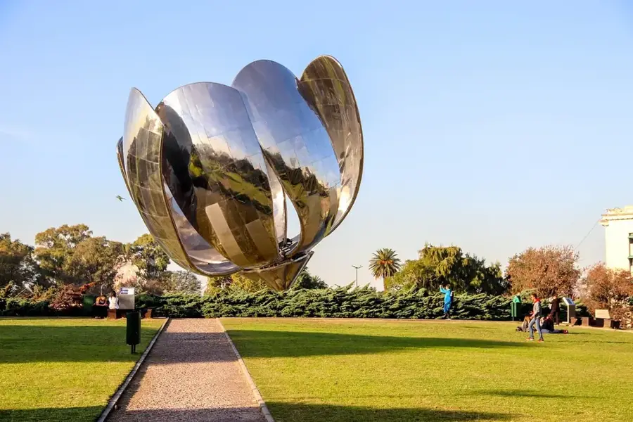
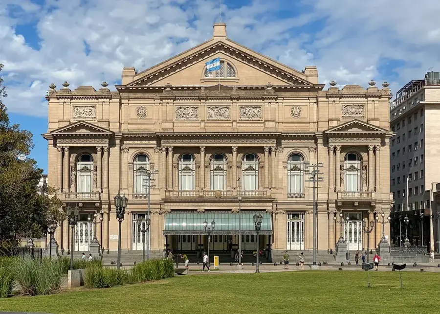
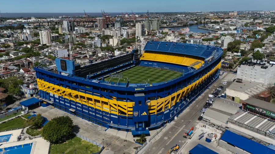
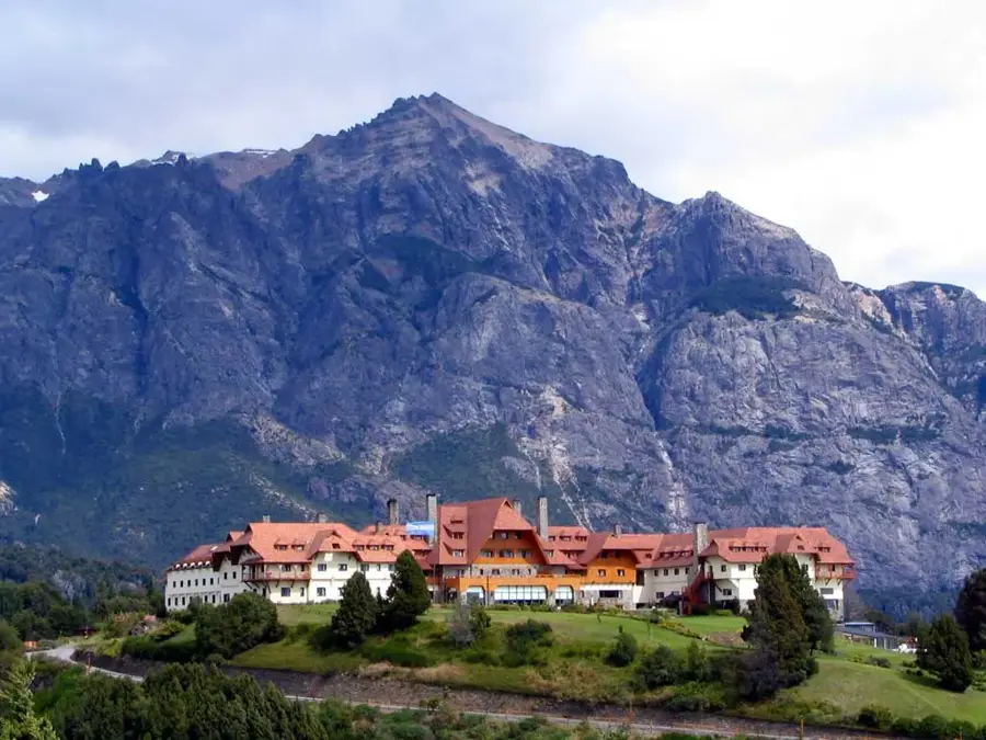
Explore nearby
Notable places around
Route planner — Car & Motorhome
Where do you start? We build the route here, with stops and country notes along the way.
© OpenStreetMap contributors · OpenRouteService
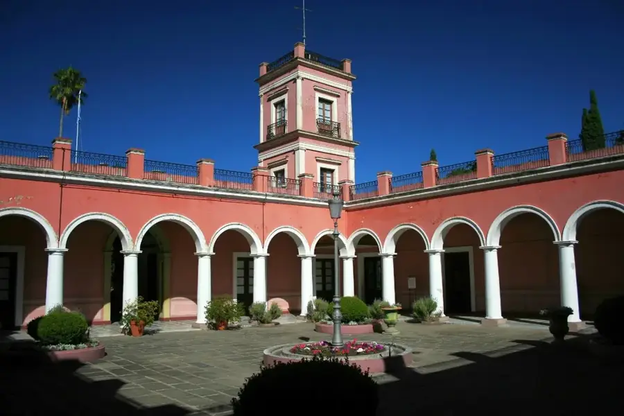
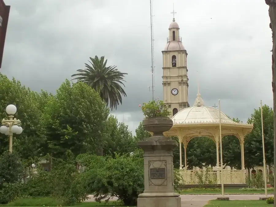
Sights in the town Uruguay River (1)
Sights nearby
Frequently asked questions
Where does the Río Uruguay flow?
What can you do on the Río Uruguay?
Are there thermal baths on the river?
When is the best time to travel?
Is the river navigable?
Uruguay River: where is it located?
Uruguay River: when is the best time to visit?
Uruguay River: why is it worth visiting?

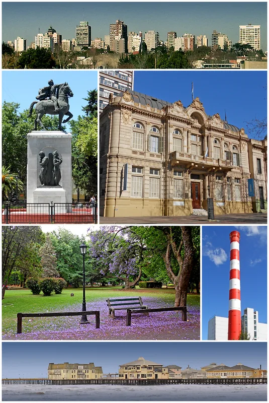
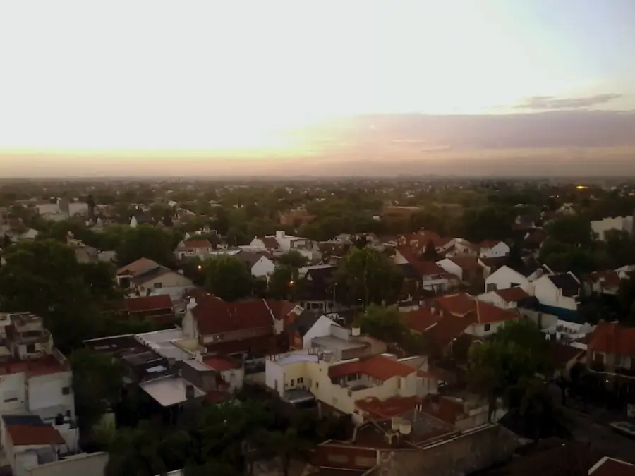
Nearby cities
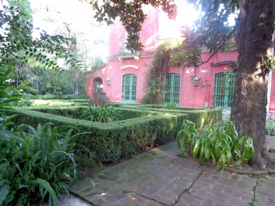

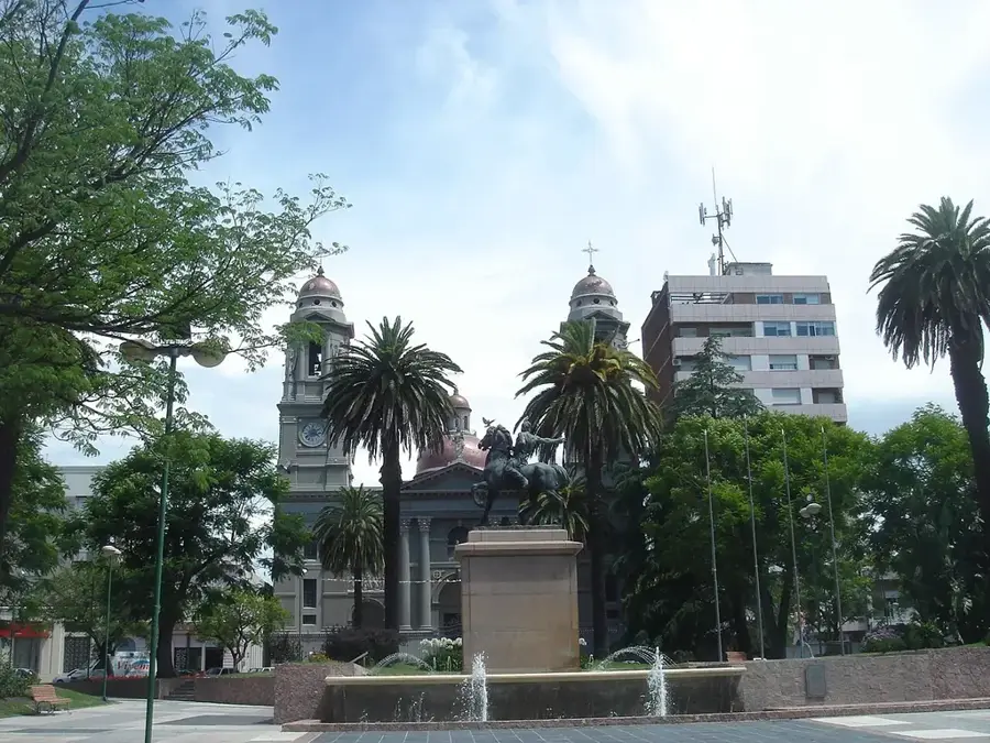
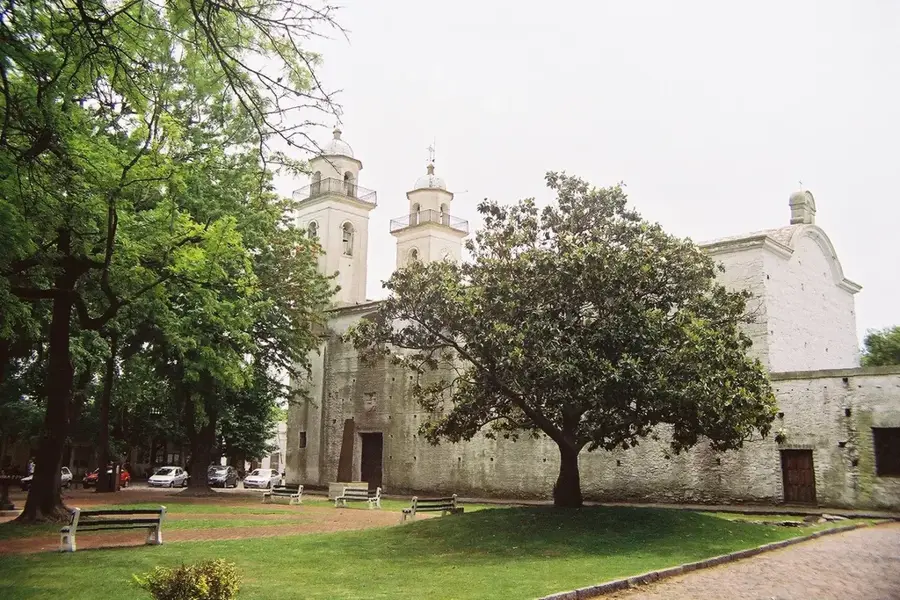
History & landmarks

Nature
More places