Plizio Visual Lab
Martín García Island
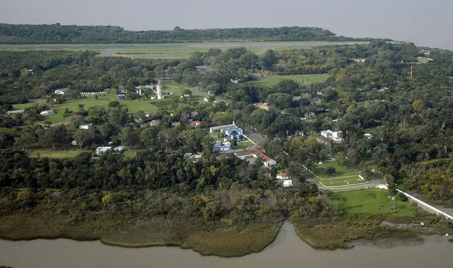
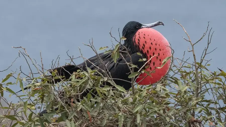
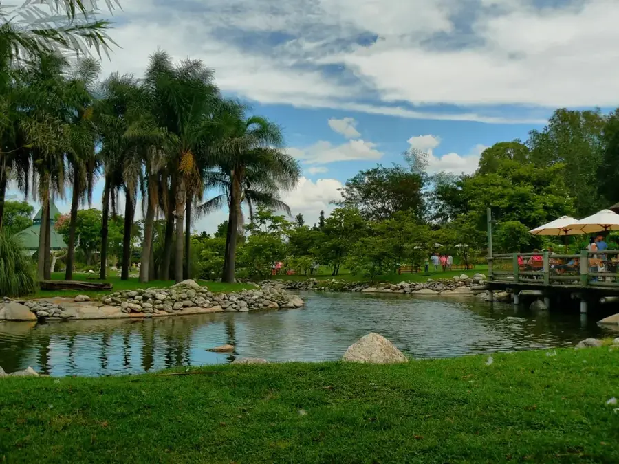
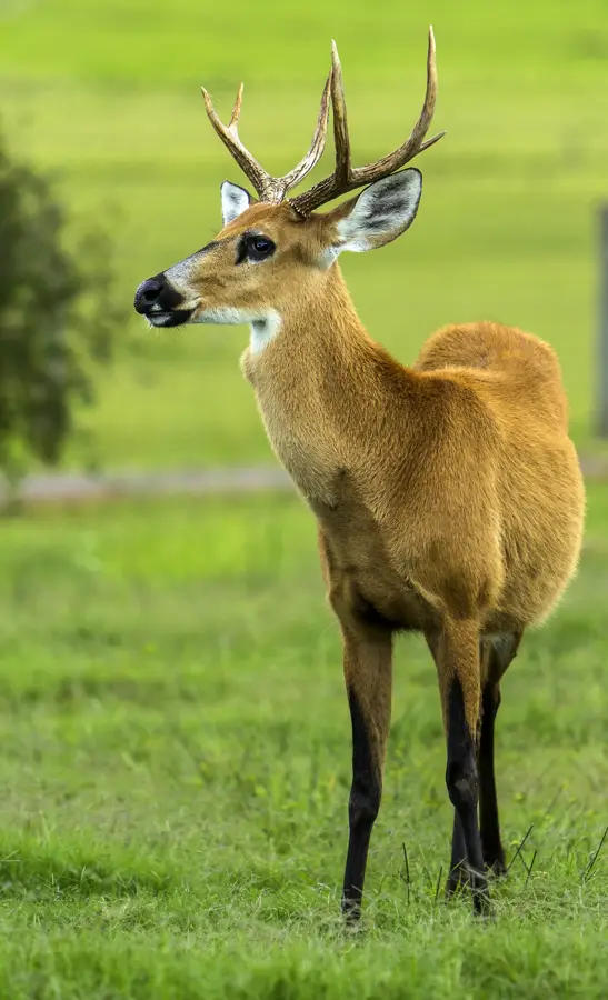
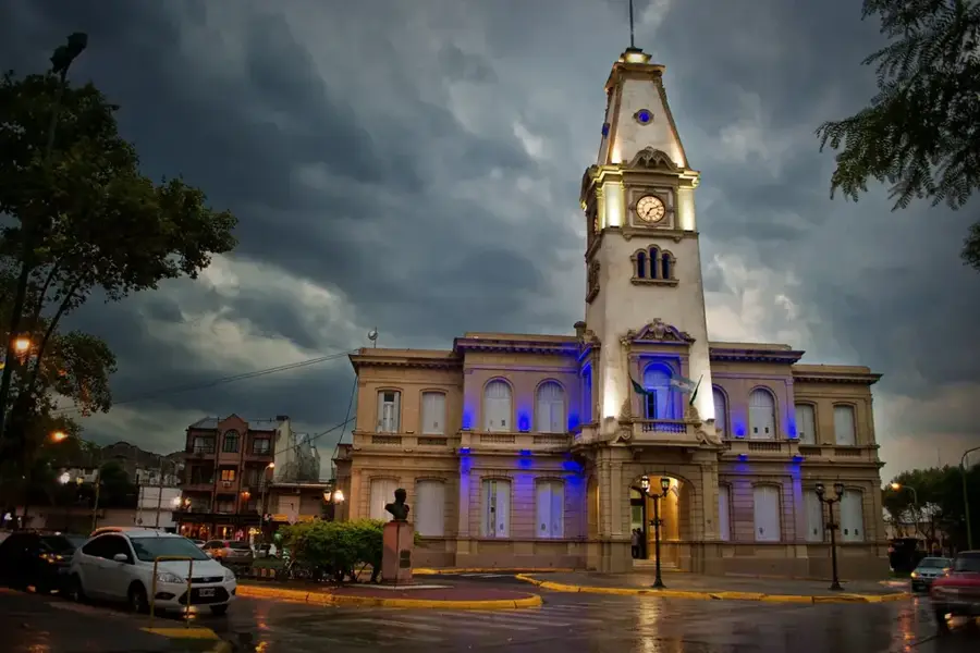
Isla Martín García is situated in the Río de la Plata, near the mouth of the Uruguay River, and is a site of immense historical and ecological significance. Geologically, it is an outcrop of the Brazilian Shield, composed of crystalline rock, which distinguishes it from the surrounding sedimentary islands of the delta. The island has witnessed numerous military conflicts between Argentina, Brazil, and Uruguay and served for a long time as a detention center for political prisoners, including several Argentine presidents. Since 1998, it has been a nature reserve, hosting a surprising variety of ecosystems, ranging from dense gallery forests to dry sandy areas. The fauna includes over 250 bird species, as well as reptiles and small mammals. The characterful architecture of the village on the island transports visitors back in time. As sedimentation has nearly connected the island to the Uruguayan island of Martín Chico, it now forms a unique dry border in an area otherwise separated by water.
- Location: Argentina
- Top sights: Mirador de la frontera · Antiguo Penal · Monumento a los Héroes Comunes
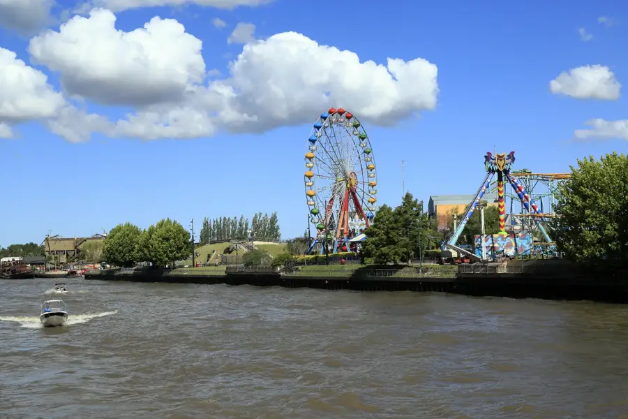
- Nearby: Quilmes (32 km)
Best time to visit & climate
The most pleasant time to visit is Mar, Nov, Dec.
| Jan | Feb | Mar | Apr | May | Jun | Jul | Aug | Sep | Oct | Nov | Dec | |
|---|---|---|---|---|---|---|---|---|---|---|---|---|
| Avg °C | 25 | 24 | 21 | 18 | 14 | 11 | 10 | 12 | 14 | 17 | 20 | 23 |
| Rain mm | 118 | 127 | 129 | 104 | 76 | 54 | 67 | 72 | 86 | 118 | 103 | 106 |
📋 Practical info
Geography
Facts
- The island has a total surface area of approximately 1.84 square kilometers.
- It falls under the jurisdiction of the Province of Buenos Aires.
- Four Argentine presidents were imprisoned here: Yrigoyen, Perón, Frondizi, and Castillo.
- The island features a historic cemetery with unique tombstones.
- The highest point on the island is only 27 meters above sea level.
- There are no cars on the island; transportation is by foot or bicycle.
Explore nearby
Notable places around
Route planner — Car & Motorhome
Where do you start? We build the route here, with stops and country notes along the way.
© OpenStreetMap contributors · OpenRouteService
Sights in the town Martín García Island (6)
Sights nearby
Frequently asked questions
Where is Isla Martín García?
Can you visit the island as a tourist?
What is historically significant there?
Is there accommodation there?
What is the typical dish on the island?
Martín García Island: where is it located?
Martín García Island: what is there to see?
Martín García Island: when is the best time to visit?
Martín García Island: why is it worth visiting?

History & landmarks
More places