Plizio Visual Lab
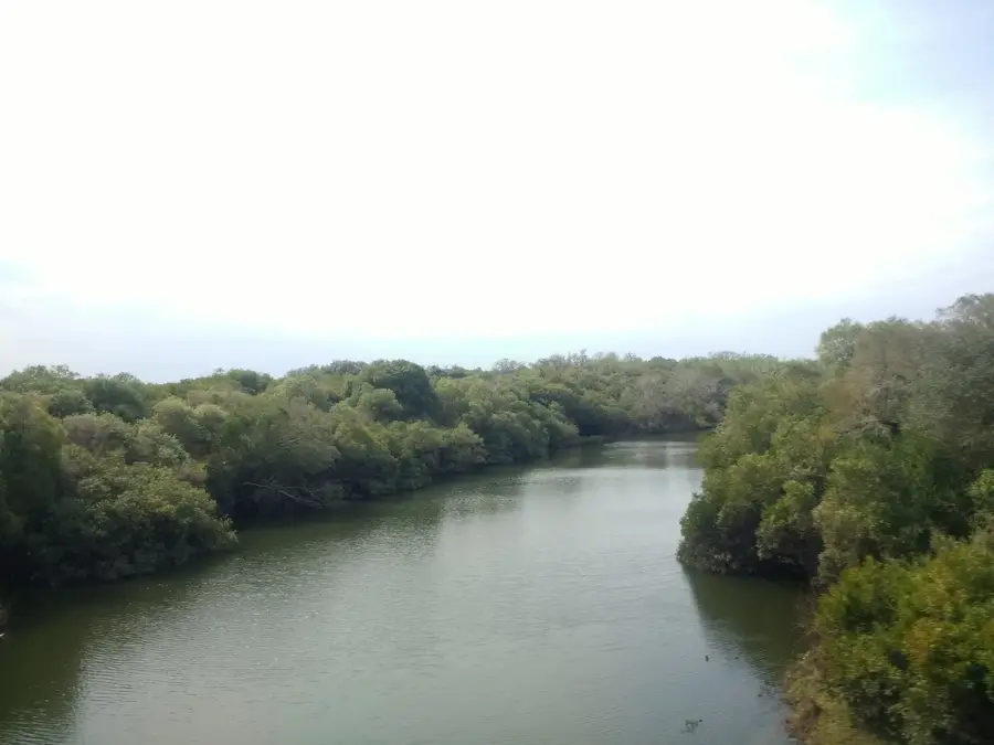
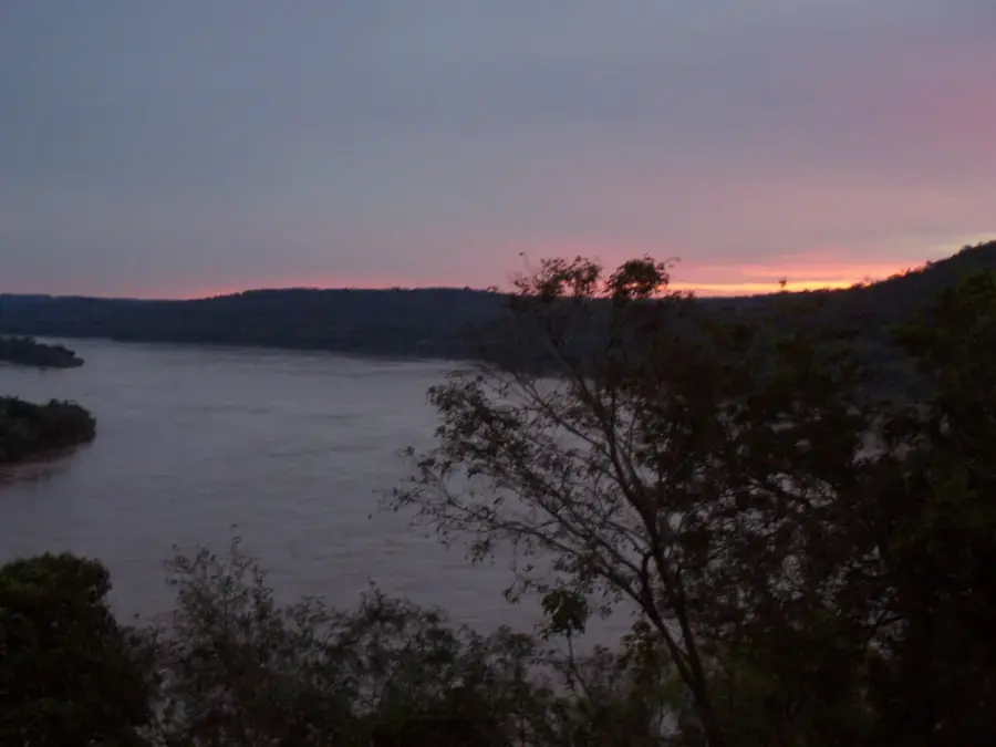
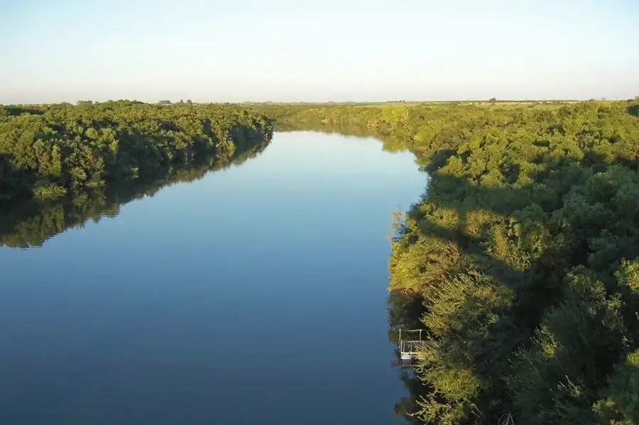
Uruguay River
Weather…
Water temperature…
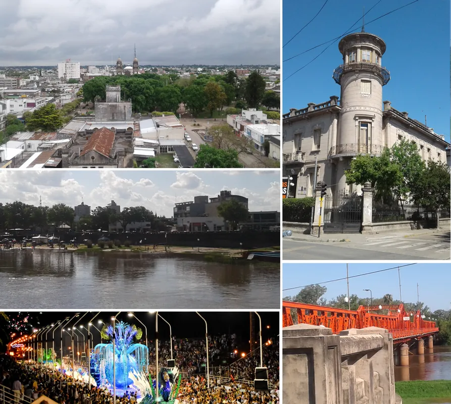
The Uruguay River is one of South America's most significant rivers, playing a crucial geographical, economic, and cultural role. It originates in Brazil's Serra do Mar, formed by the confluence of the Canoas and Pelotas rivers, and flows south for 1,838 kilometers. For much of its course, it forms the natural border between Argentina to the west and Brazil and Uruguay to the east. Its name is derived from the Guaraní language, meaning 'river of the painted birds'. The river is of major importance for navigation, particularly its lower section, which allows access to important ports like Concepción del Uruguay (Argentina) and Fray Bentos (Uruguay). A critical piece of infrastructure on the river is the Salto Grande Dam, a bi-national hydroelectric project jointly operated by Argentina and Uruguay, which generates a significant portion of the region's electricity. The river's basin supports diverse ecosystems, from subtropical forests in its upper course to the wetlands and gallery forests further downstream. Finally, the Uruguay River joins with the Paraná River to empty into the Río de la Plata, forming the massive estuary.
- Location: Uruguay
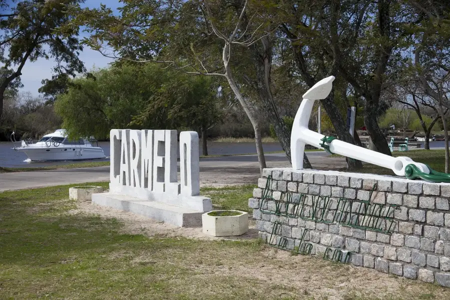
- Nearby: Dolores (27 km)
Best time to visit & climate
The most pleasant time to visit is Mar, Apr, Nov.
| Jan | Feb | Mar | Apr | May | Jun | Jul | Aug | Sep | Oct | Nov | Dec | |
|---|---|---|---|---|---|---|---|---|---|---|---|---|
| Avg °C | 26 | 24 | 22 | 18 | 14 | 11 | 11 | 12 | 14 | 18 | 21 | 24 |
| Rain mm | 134 | 139 | 136 | 122 | 87 | 60 | 56 | 80 | 90 | 138 | 106 | 129 |
📋 Practical info
Geography
Facts
- The river is approximately 1,838 kilometers long.
- It forms the border between Argentina, Brazil, and Uruguay.
- Its name means 'river of the painted birds' in Guaraní.
- The Salto Grande Dam is a major hydroelectric project on the river.
- It empties into the Río de la Plata along with the Paraná River.
- Important ports on the river include Fray Bentos and Concepción del Uruguay.
Explore nearby
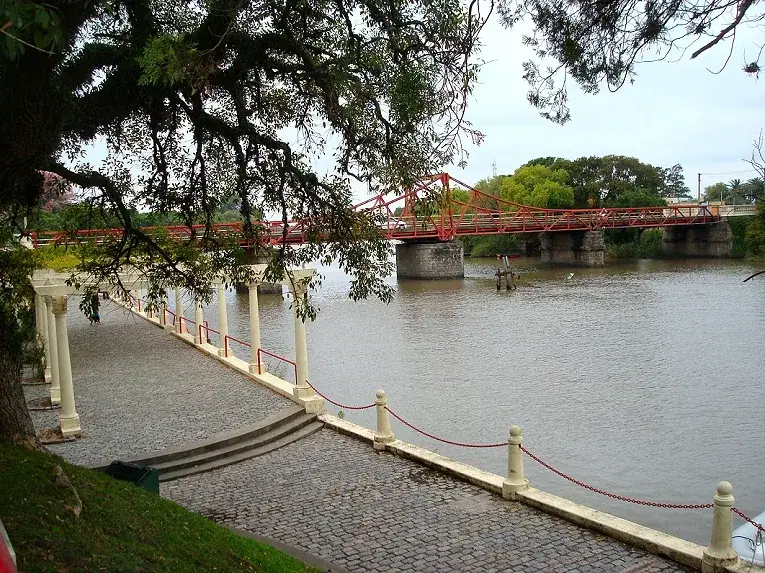
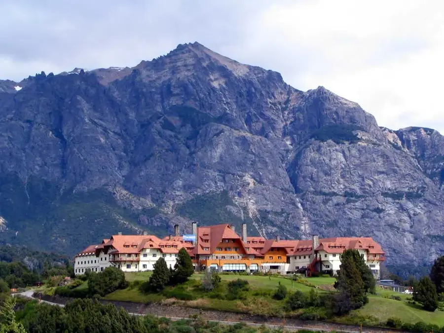
Notable places around
Route planner — Car & Motorhome
Where do you start? We build the route here, with stops and country notes along the way.
© OpenStreetMap contributors · OpenRouteService
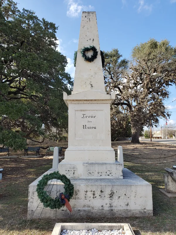
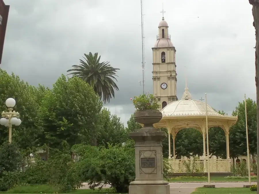
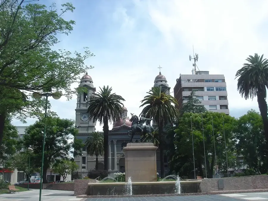
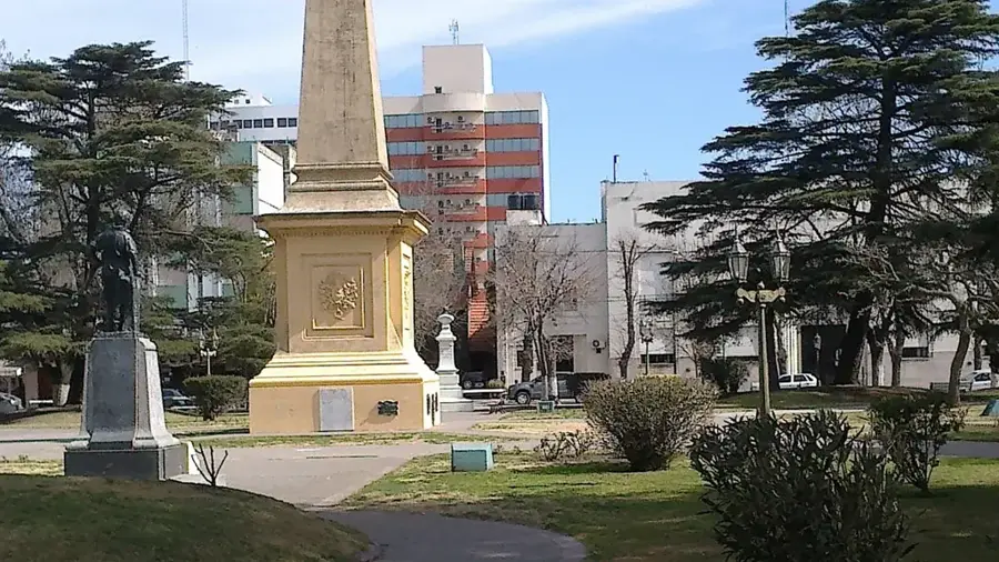
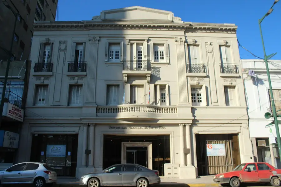
Sights nearby
Frequently asked questions
Is the Río Uruguay navigable?
Is fishing possible?
Is the water suitable for swimming?
How are the currents?
Are there campsites on the shore?
Uruguay River: where is it located?
Uruguay River: when is the best time to visit?
Uruguay River: why is it worth visiting?

Nearby cities
Nature
More places