Plizio Visual Lab
Río Negro
Weather…
Water temperature…
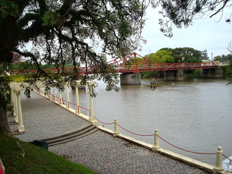
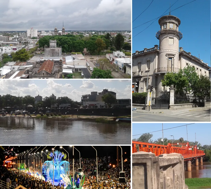
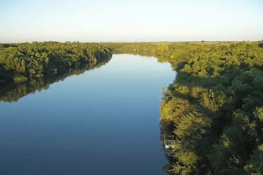
The Río Negro is the most significant river flowing entirely within Uruguayan territory, playing a central role in the country's geography and economy. It originates in southern Brazil in the Bagé hills and flows southwest for approximately 750 kilometers, cutting across Uruguay before emptying into the Uruguay River. The river effectively divides the country into a northern and a southern half. Its major importance stems from hydroelectric power generation. The Río Negro is home to three of Uruguay's four major hydroelectric dams: Rincón del Bonete, Baygorria, and Palmar. The reservoir created by the Rincón del Bonete dam in 1945 is the largest artificial lake in South America, covering an area of about 1,140 square kilometers. These dams are crucial for Uruguay's electricity supply. The river's basin is predominantly agricultural, with cattle ranching and, more recently, forestry and soy cultivation being prominent. This intensive land use has led to environmental concerns, particularly eutrophication from nutrient runoff, causing recurrent algal blooms in the reservoirs. Despite these challenges, the Río Negro remains a vital waterway for irrigation, fishing, and recreational activities.
- Location: Uruguay
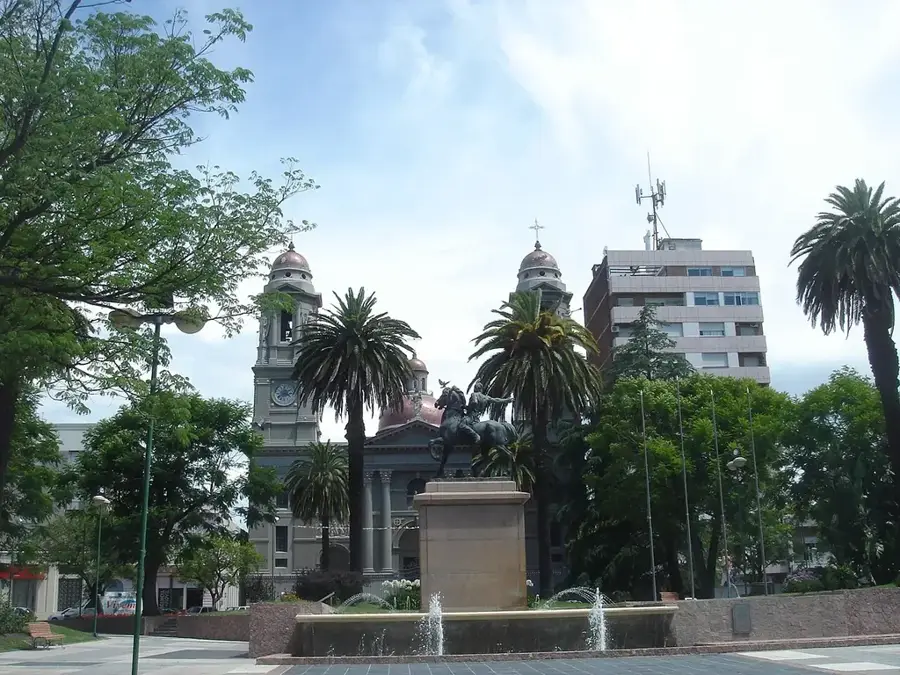
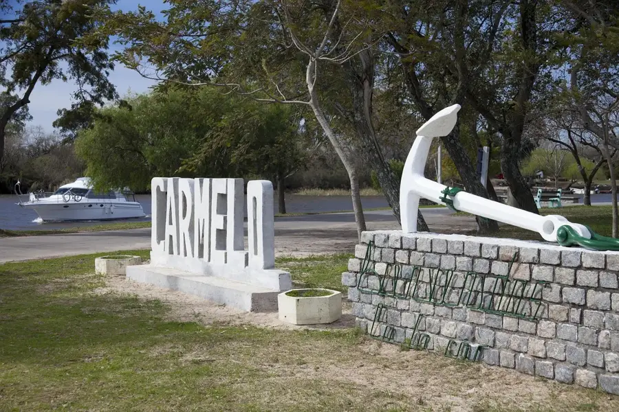
- Nearby: Dolores (21 km)
Best time to visit & climate
The most pleasant time to visit is Mar, Nov, Dec.
| Jan | Feb | Mar | Apr | May | Jun | Jul | Aug | Sep | Oct | Nov | Dec | |
|---|---|---|---|---|---|---|---|---|---|---|---|---|
| Avg °C | 25 | 24 | 21 | 18 | 14 | 11 | 10 | 12 | 14 | 17 | 20 | 23 |
| Rain mm | 128 | 134 | 136 | 111 | 80 | 56 | 61 | 75 | 89 | 130 | 103 | 120 |
📋 Practical info
Geography
Facts
- The river is approximately 750 kilometers long.
- It is the largest river flowing entirely within Uruguay.
- It hosts three major hydroelectric dams: Rincón del Bonete, Baygorria, and Palmar.
- The Rincón del Bonete reservoir is the largest artificial lake in South America.
- The Rincón del Bonete reservoir was created in 1945.
- The river suffers from eutrophication due to agricultural runoff.
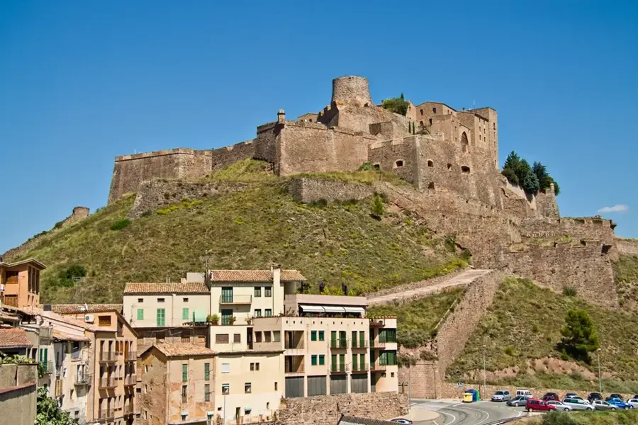
Explore nearby
Notable places around
Route planner — Car & Motorhome
Where do you start? We build the route here, with stops and country notes along the way.
© OpenStreetMap contributors · OpenRouteService
Sights nearby
Frequently asked questions
What is the Río Negro known for?
Can one go kayaking?
How is the water quality?
Are there public picnic areas?
What birds can one observe there?
Río Negro: where is it located?
Río Negro: when is the best time to visit?
Río Negro: why is it worth visiting?

Nearby cities
History & landmarks
Nature
More places