Plizio Visual Lab
Pic de la Mina

Weather…
Water temperature…
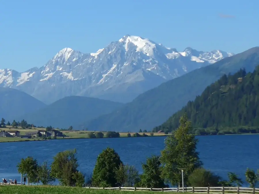
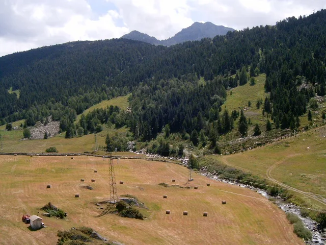
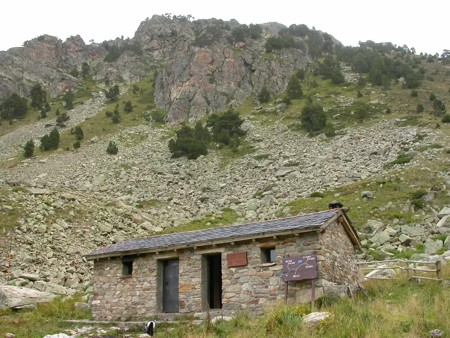
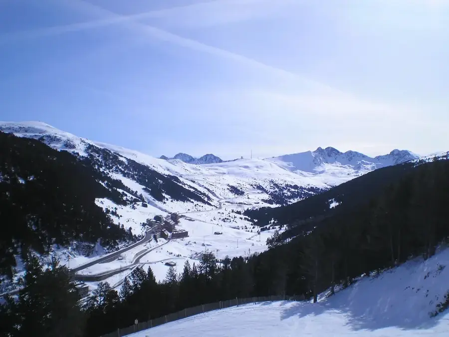
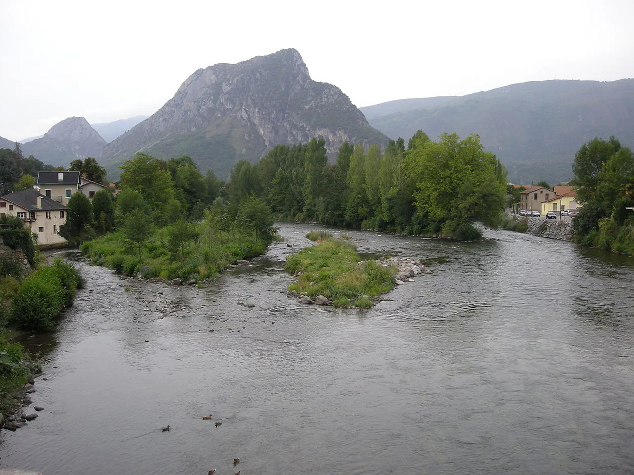
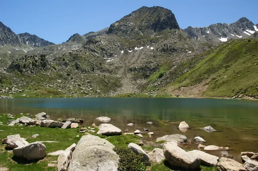
Pic de la Mina is a 2,707-meter-high mountain located in the eastern part of Andorra, directly on the border with France. It sits above Port d'Envalira, the highest paved mountain pass in the Pyrenees. Its name refers to the historical mining activities in this region, specifically the extraction of ores in previous centuries. Geologically, the mountain is composed of granite and slate, giving it a robust and angular structure. Due to its location directly above Pas de la Casa, the summit has a panoramic view of the Grandvalira ski area and the wide valleys of the French department of Ariège. The climate here is particularly harsh, with strong winds and long-lasting snow cover well into early summer. Vegetation is restricted to subalpine species, while hikers value the area for its easy accessibility from the mountain pass.
- Location: Andorra
- Top sights: Pic de Serra-seca · Pic dels Colells · Montmalús
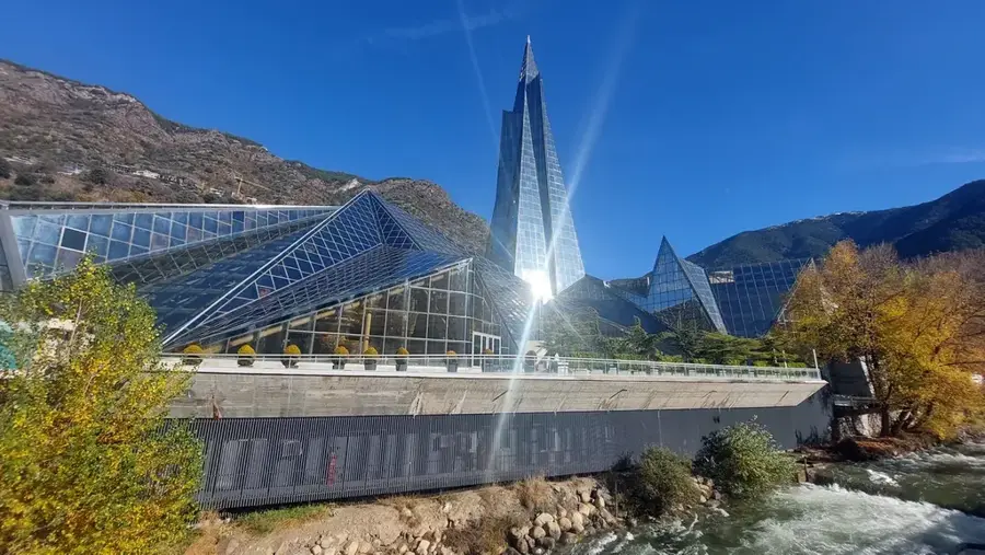
- Nearby: Pas de la Casa (5 km)
Best time to visit & climate
The most pleasant time to visit is Jun–Aug.
| Jan | Feb | Mar | Apr | May | Jun | Jul | Aug | Sep | Oct | Nov | Dec | |
|---|---|---|---|---|---|---|---|---|---|---|---|---|
| Avg °C | -2 | -2 | 1 | 5 | 9 | 14 | 16 | 16 | 12 | 8 | 2 | -1 |
| Rain mm | 60 | 48 | 57 | 71 | 77 | 52 | 46 | 47 | 50 | 64 | 70 | 49 |
📋 Practical info
Geography
Facts
- Elevation of 2,707 meters
- Located at Port d'Envalira
- Direct border with France
- Name refers to old mines
- Views of Pas de la Casa
- Composed of granite and slate
Explore nearby
Notable places around
Route planner — Car & Motorhome
Where do you start? We build the route here, with stops and country notes along the way.
© OpenStreetMap contributors · OpenRouteService
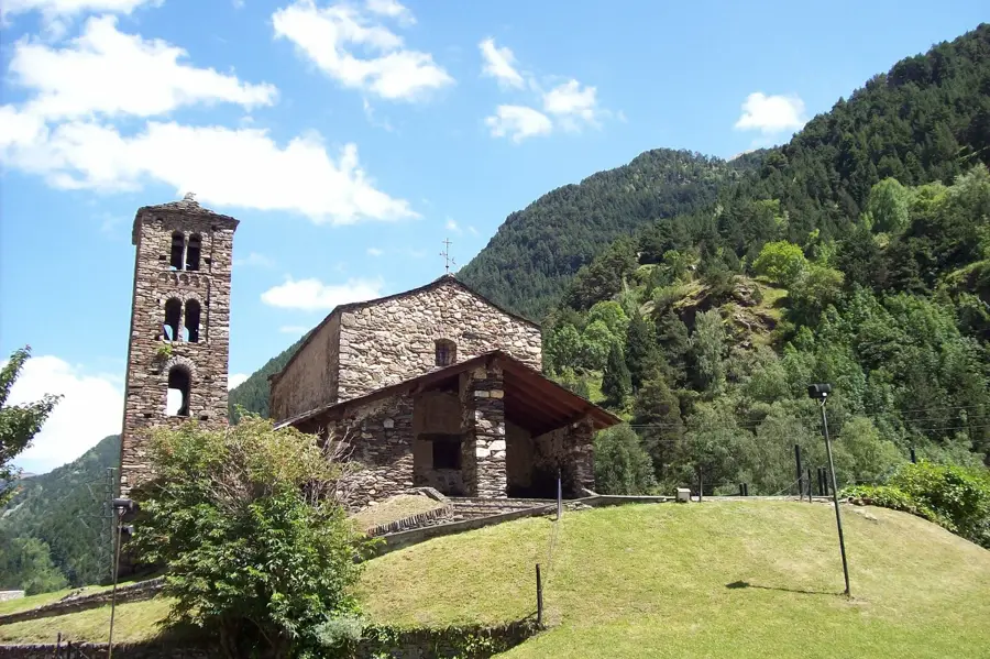
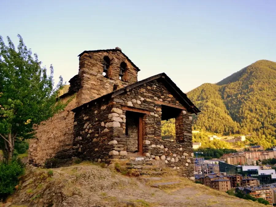
Sights in the town Pic de la Mina (3)
Sights nearby
Frequently asked questions
Were there actually mines there?
How high is Pic de la Mina?
Where does the ascent start?
Is the peak near the border?
What is special about the terrain?
Pic de la Mina: where is it located?
Pic de la Mina: what is there to see?
Pic de la Mina: when is the best time to visit?
Pic de la Mina: why is it worth visiting?

History & landmarks

Nature

More places