Plizio Visual Lab
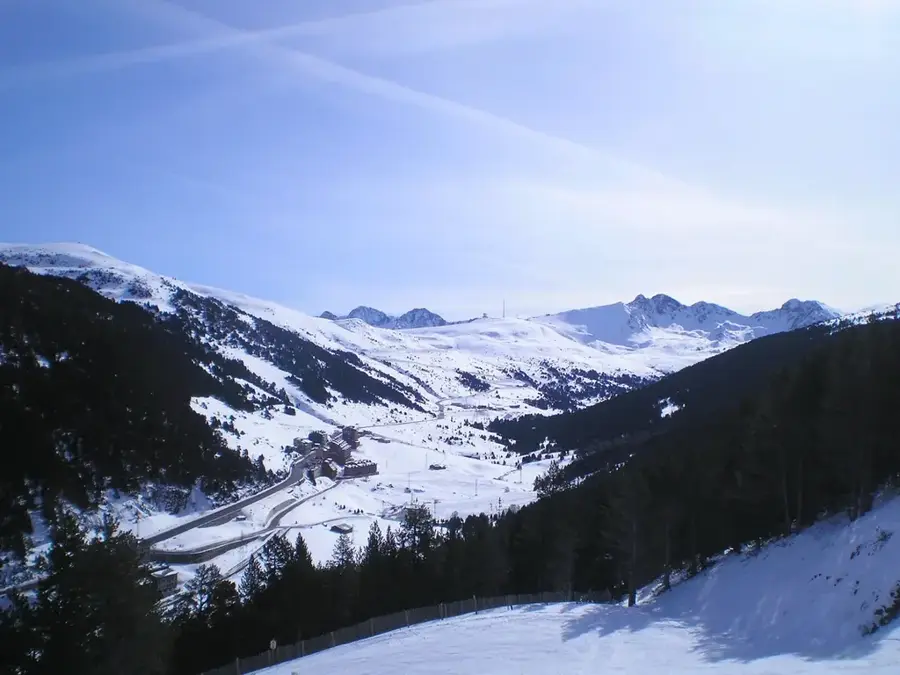
Pic de la Portelleta
Weather…
Water temperature…
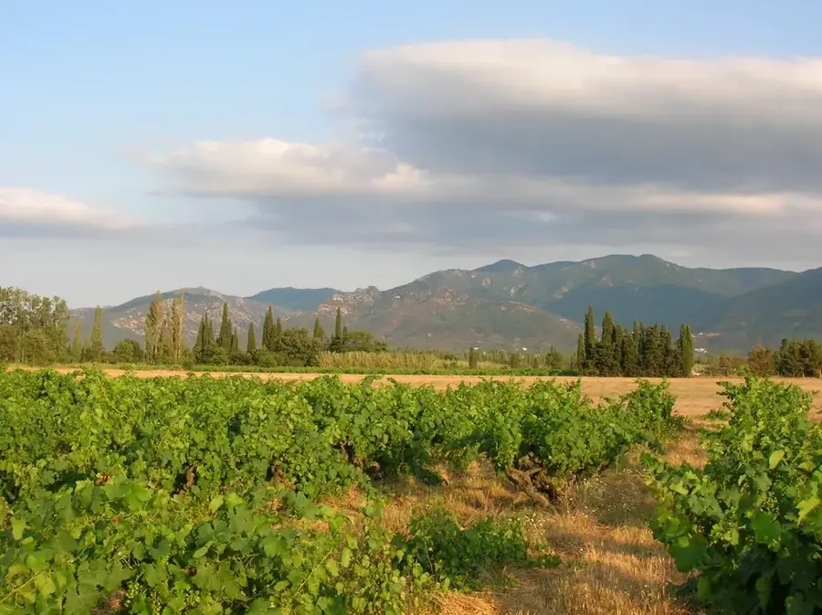
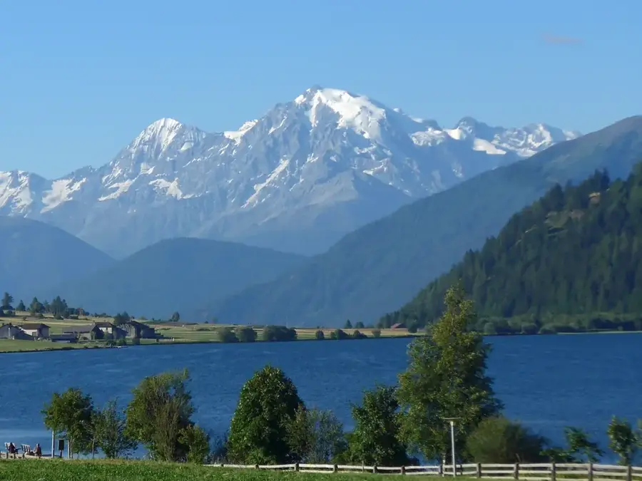
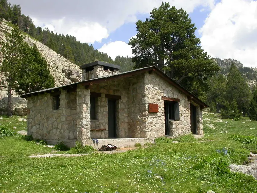
Pic de la Portelleta, also known as Pic de la Tosseta de l'Esquena d'Asne, rises to an elevation of 2,905 meters, making it one of the most prominent peaks in southern Andorra along the Spanish border. It is situated within the Madriu-Perafita-Claror Valley, a designated UNESCO World Heritage site recognized for its exceptionally preserved cultural landscape. The peak's geological composition is primarily granite, shaped by Variscan orogeny and later sculpted by Quaternary glaciers into sharp ridges and deep cirques. Reaching the summit is considered a challenging feat for mountaineers, rewarding them with expansive views of the Pyrenees and the Cerdanya plateau in Catalonia. High-altitude flora is sparse, consisting mainly of lichens and specialized alpine species capable of enduring extreme wind and cold. Historically, the area surrounding the peak served as a strategic passage for shepherds and trans-Pyrenean traders, evidenced by the ancient stone huts found in the lower valley sections.
- Location: Andorra
- Top sights: Tosseta de Vallcivera · Tossa Plana de Lles · Pic del Feixar
- Nearby: Riu dels Llacs (6 km)
Best time to visit & climate
The most pleasant time to visit is Jun–Aug.
| Jan | Feb | Mar | Apr | May | Jun | Jul | Aug | Sep | Oct | Nov | Dec | |
|---|---|---|---|---|---|---|---|---|---|---|---|---|
| Avg °C | -2 | -2 | 1 | 5 | 9 | 14 | 16 | 16 | 12 | 8 | 2 | -1 |
| Rain mm | 60 | 48 | 57 | 71 | 77 | 52 | 46 | 47 | 50 | 64 | 70 | 49 |
📋 Practical info
Geography
Facts
- At 2,905 meters, it is one of the seven highest peaks in the Principality of Andorra.
- The summit is located precisely on the international border between Andorra and Spain.
- It is situated within the boundaries of the UNESCO World Heritage Madriu-Perafita-Claror Valley.
- The mountain's geological structure is predominantly composed of ancient granite.
- The local name 'Tosseta de l'Esquena d'Asne' translates to 'Donkey's Back Top'.
- The primary climbing route typically starts from the Refugi de l'Illa at 2,488 meters.
Explore nearby
Notable places around
Route planner — Car & Motorhome
Where do you start? We build the route here, with stops and country notes along the way.
© OpenStreetMap contributors · OpenRouteService
Sights in the town Pic de la Portelleta (3)
Pic del Feixar
Pic del Feixar is a mountain in Andorra, a peak in the Pyrenees.
Sights nearby
Frequently asked questions
How high is this mountain?
Where is the peak located?
Is the hike very long?
Are there difficult sections?
What is the panorama from the peak?
Pic de la Portelleta: where is it located?
Pic de la Portelleta: what is there to see?
Pic de la Portelleta: when is the best time to visit?
Pic de la Portelleta: why is it worth visiting?

History & landmarks


Nature

More places