Plizio Visual Lab
Pic de la Creveta
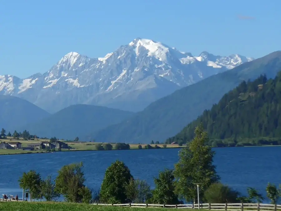
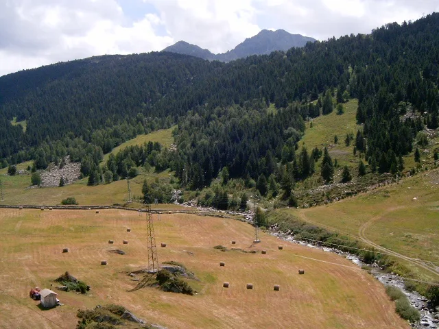
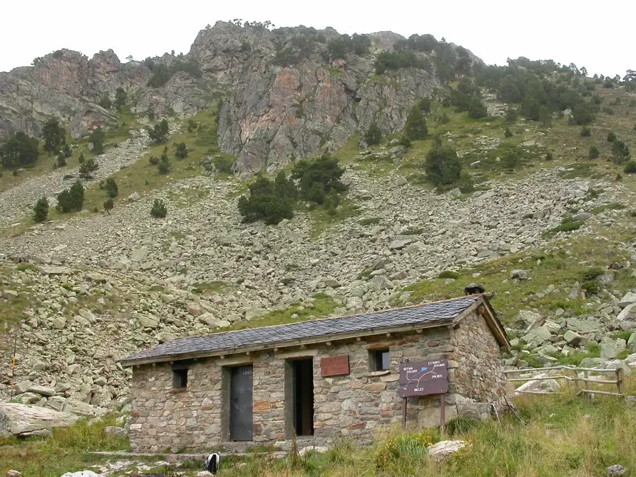
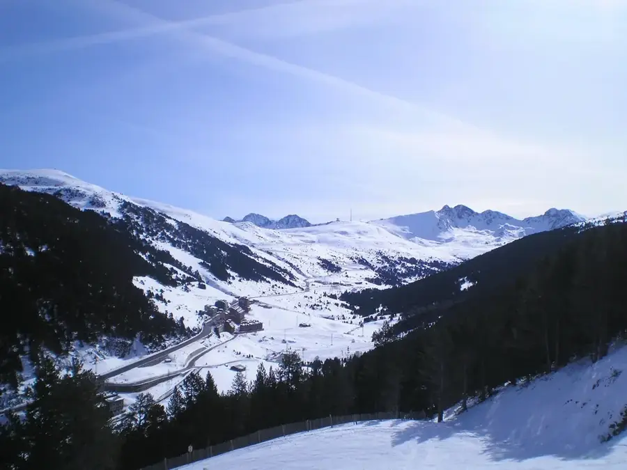
Pic de la Creveta is a mountain peak reaching an elevation of approximately 2,682 meters, located in eastern Andorra within the parish of Encamp. It is situated in a region characterized by gentler high plateaus and vast alpine meadows, contrasting with the more rugged peaks of the west. Geologically, the mountain is composed of metamorphic rocks, specifically schists, which have weathered into smoother slopes over time. The vegetation is dominated by alpine grasses that serve as grazing grounds for sheep and cattle during the summer months. From its summit, hikers can enjoy excellent views of the Grandvalira ski resort and neighboring France. Historically, Pic de la Creveta was an important point for border demarcation and traditional transhumance practices. Today, it is a favored destination for those seeking less crowded hiking routes and provides opportunities for ski touring in the winter. Protecting highland biotopes and promoting sustainable tourism are central themes for the management of this area.
- Location: Andorra
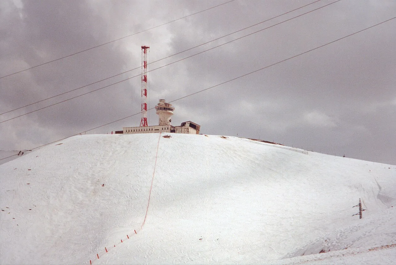
- Top sights: Ancien émetteur Sud Radio · Pic Blanc · Bony d'Envalira
- Nearby: Vall d'Orient (5 km)
Best time to visit & climate
The most pleasant time to visit is Jun–Aug.
| Jan | Feb | Mar | Apr | May | Jun | Jul | Aug | Sep | Oct | Nov | Dec | |
|---|---|---|---|---|---|---|---|---|---|---|---|---|
| Avg °C | -2 | -2 | 1 | 5 | 9 | 14 | 16 | 16 | 12 | 8 | 2 | -1 |
| Rain mm | 60 | 48 | 57 | 71 | 77 | 52 | 46 | 47 | 50 | 64 | 70 | 49 |
📋 Practical info
Geography
Facts
- The peak stands at an elevation of about 2,682 meters.
- It is located in the parish of Encamp in the east of the country.
- The mountain is primarily composed of metamorphic schist.
- It provides a panoramic view over the Grandvalira ski area.
- The region is well-known for its extensive alpine grazing lands.
- The summit is situated near the international border with France.
Explore nearby
Notable places around
Route planner — Car & Motorhome
Where do you start? We build the route here, with stops and country notes along the way.
© OpenStreetMap contributors · OpenRouteService
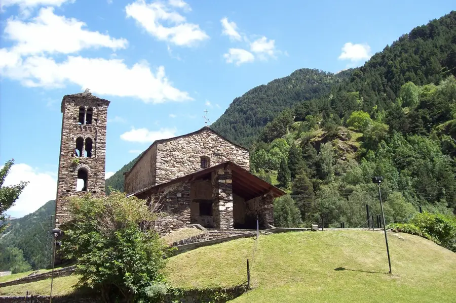
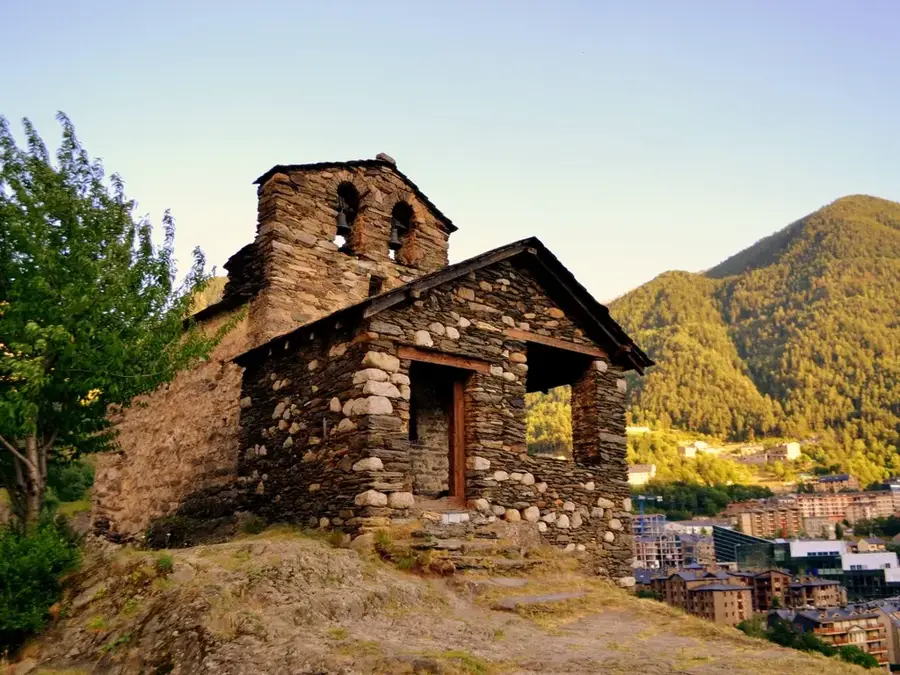
Sights in the town Pic de la Creveta (4)
Pic Blanc
Mountain in Andorra, known for its snowy summit.
Bony d'Envalira
Mountain in Andorra, located near the Envalira pass.
Pic Negre d'Envalira
Mountain on the border between Andorra and France.
Sights nearby
Frequently asked questions
Where is Pic de la Creveta located?
Is the summit easy to reach?
What is the altitude of the mountain?
When is the best time for hiking?
Are there markings?
Pic de la Creveta: where is it located?
Pic de la Creveta: what is there to see?
Pic de la Creveta: when is the best time to visit?
Pic de la Creveta: why is it worth visiting?

History & landmarks

Nature

More places