Plizio Visual Lab
Serra de l'Obaga
Weather…
Water temperature…
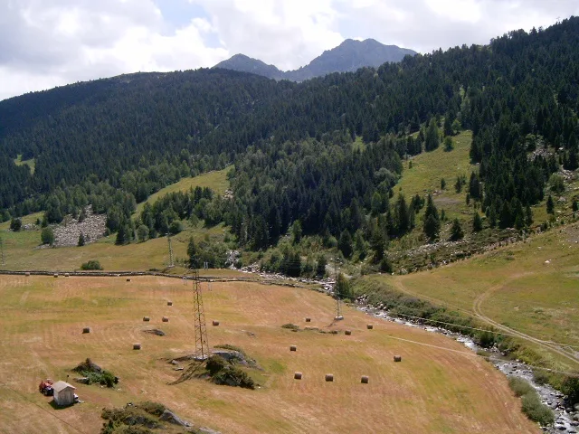
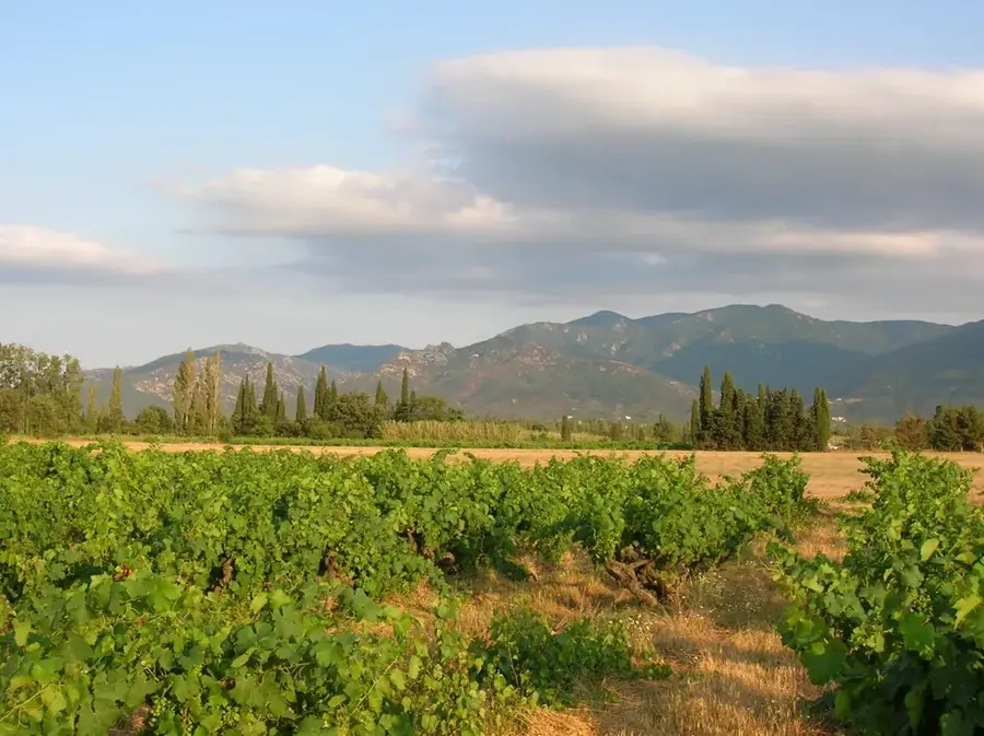
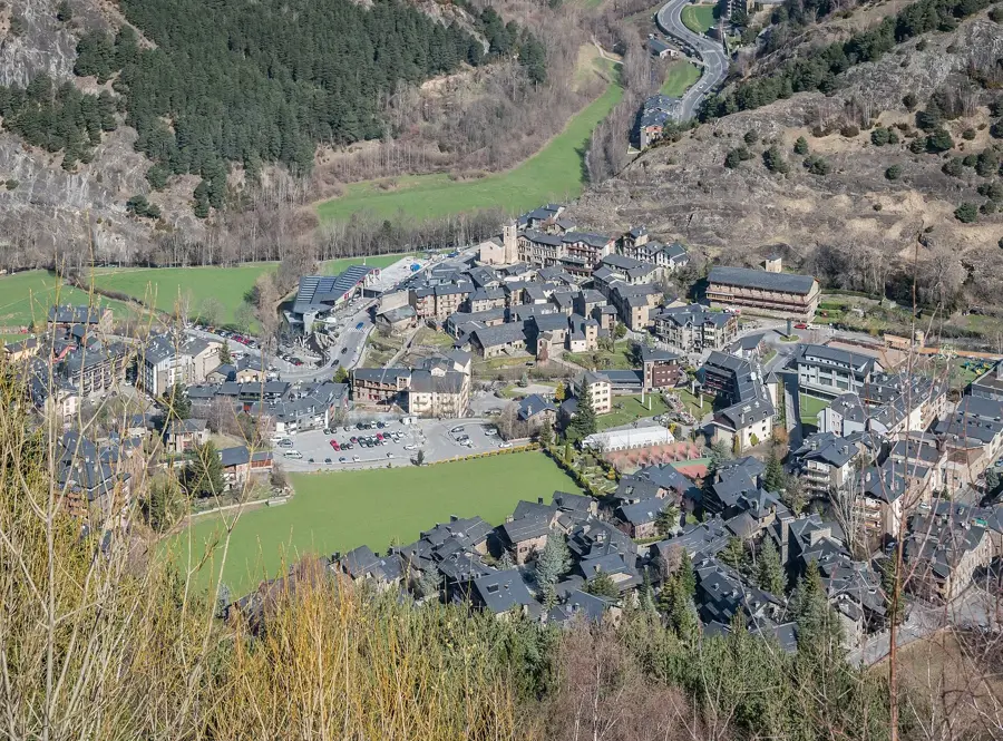
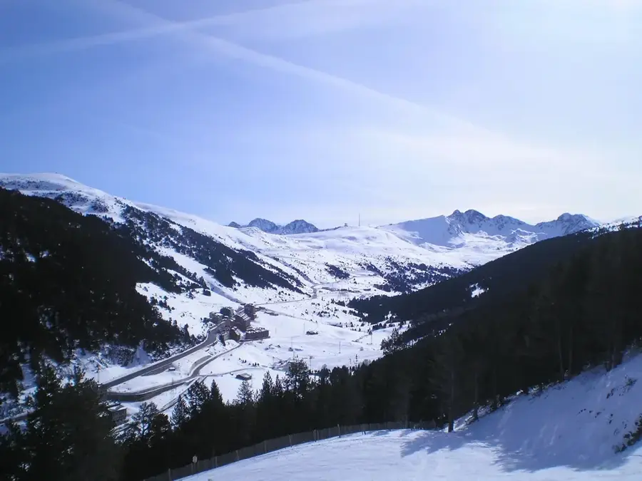
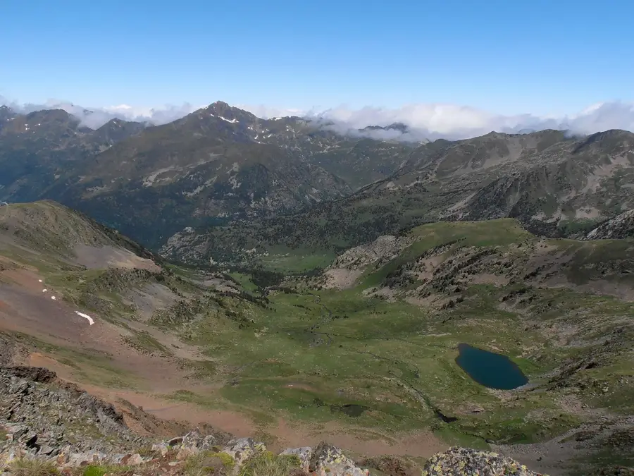
Serra de l'Obaga is a prominent mountain ridge in Andorra, characterized primarily by its northern, shaded exposure, which is reflected in its name ('Obaga' means shaded side in Catalan). This geographic orientation results in a humider and cooler microclimate, favoring the growth of dense coniferous forests, particularly firs and mountain pines. The ridge extends across several parishes, including Encamp and Canillo, forming a natural barrier between different valleys. Geologically, Serra de l'Obaga features a mix of limestone and metamorphic rocks, displaying a varied geomorphology. Historically, the forests of the Obaga were a vital source of timber and fuel for the local population, while the lower reaches were utilized for agriculture and meadows. Hiking trails along the ridge offer spectacular views of the opposite sunny slopes ('solanes') and the central valleys of Andorra. Protecting these forest areas from erosion and wildfires is a key component of Andorra's forestry and environmental policies.
- Location: Andorra
- Top sights: Pic dels Maians · Pont Tibeta d'Encamp · Cap de Rep
- Nearby: El Tarter (4 km)
Best time to visit & climate
The most pleasant time to visit is Jun–Aug.
| Jan | Feb | Mar | Apr | May | Jun | Jul | Aug | Sep | Oct | Nov | Dec | |
|---|---|---|---|---|---|---|---|---|---|---|---|---|
| Avg °C | -2 | -2 | 1 | 5 | 9 | 14 | 16 | 16 | 12 | 8 | 2 | -1 |
| Rain mm | 60 | 48 | 57 | 71 | 77 | 52 | 46 | 47 | 50 | 64 | 70 | 49 |
📋 Practical info
Geography
Facts
- The name 'Obaga' refers to the shaded northern exposure of the ridge.
- The mountain range spans across the parishes of Encamp and Canillo.
- Dense fir forests are the dominant feature of this mountain landscape.
- The microclimate here is significantly more humid than on southern slopes.
- Serra de l'Obaga provides essential protection against soil erosion in the valleys.
- The ridge line is part of the extensive Andorran hiking trail network.
Explore nearby
Notable places around
Route planner — Car & Motorhome
Where do you start? We build the route here, with stops and country notes along the way.
© OpenStreetMap contributors · OpenRouteService
Sights in the town Serra de l'Obaga (9)
Pont Tibeta d'Encamp
Suspension bridge near Encamp, Andorra, for pedestrians.
Cap de Rep
Summit and viewpoint with orientation table and two log-shaped benches.
Pic d'Encampadana
Mountain in Andorra, near the town of Encamp.
Tosa de Llosada
Mountain in Andorra, with views of the Madriu valley.
Mirador del Bosc de les Allaus
Viewpoint in the Les Allaus forest, Andorra.
Roc de les Bruixes
Archaeological site in Canillo, Andorra, with rock carvings.
Toll Bullidor
Natural spring or water pool in the landscape.
Mirador del Toll Bullidor
Viewpoint overlooking the Toll Bullidor spring.
Sights nearby
Frequently asked questions
What does 'Obaga' mean in the name?
Is there a lot of forest there?
Is it cooler there than elsewhere?
Can you go hiking there?
What animals live in Serra de l'Obaga?
Serra de l'Obaga: where is it located?
Serra de l'Obaga: what is there to see?
Serra de l'Obaga: when is the best time to visit?
Serra de l'Obaga: why is it worth visiting?

History & landmarks
Nature
More places