Plizio Visual Lab
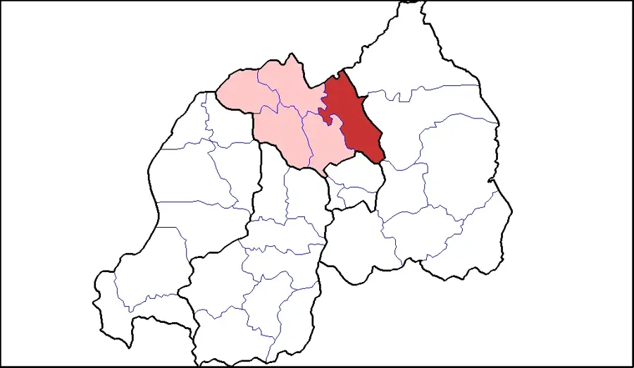
Tanzania Border Area
Weather…
Water temperature…
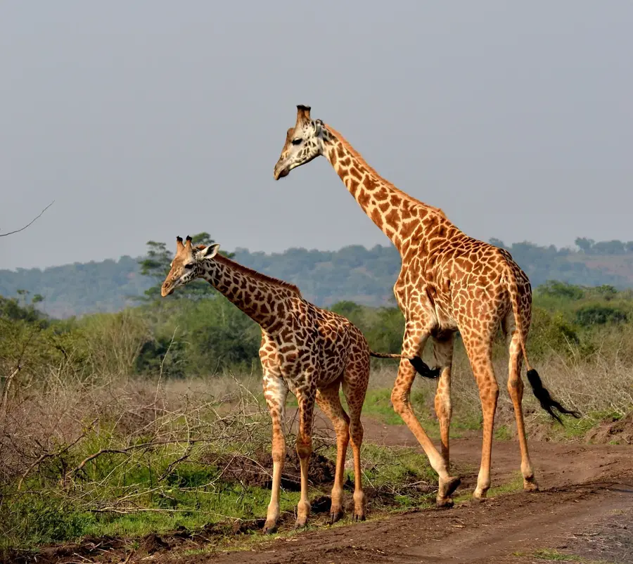
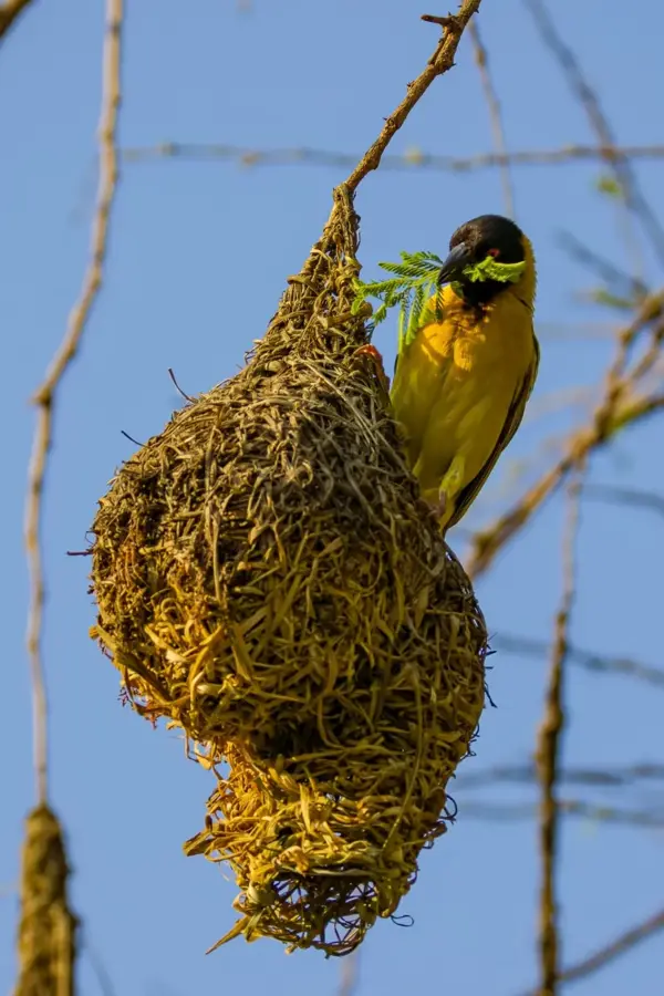
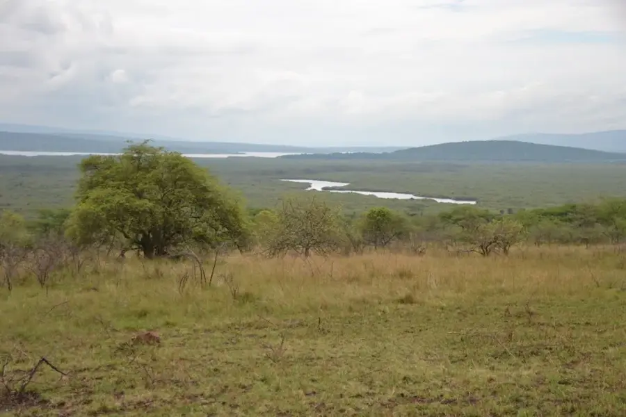
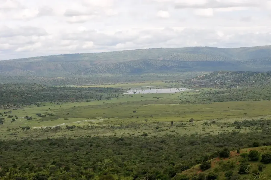
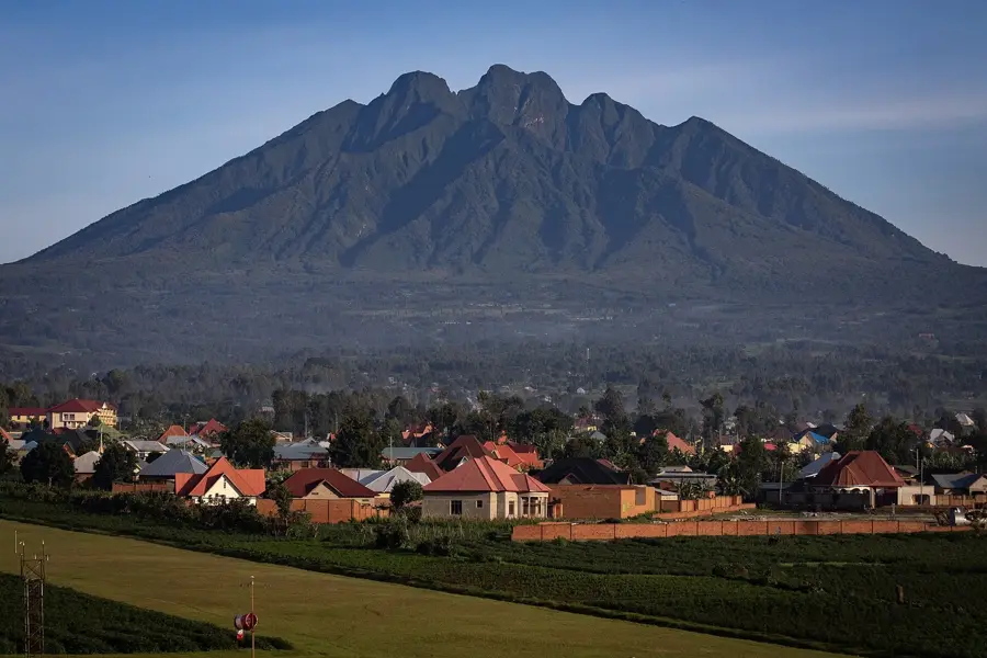
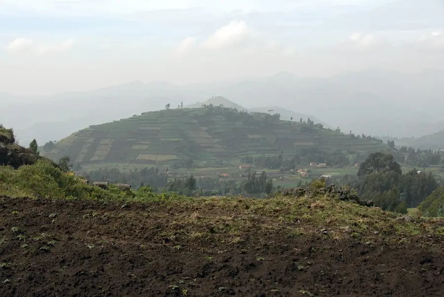
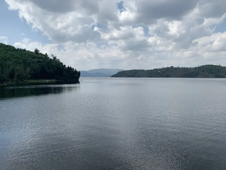
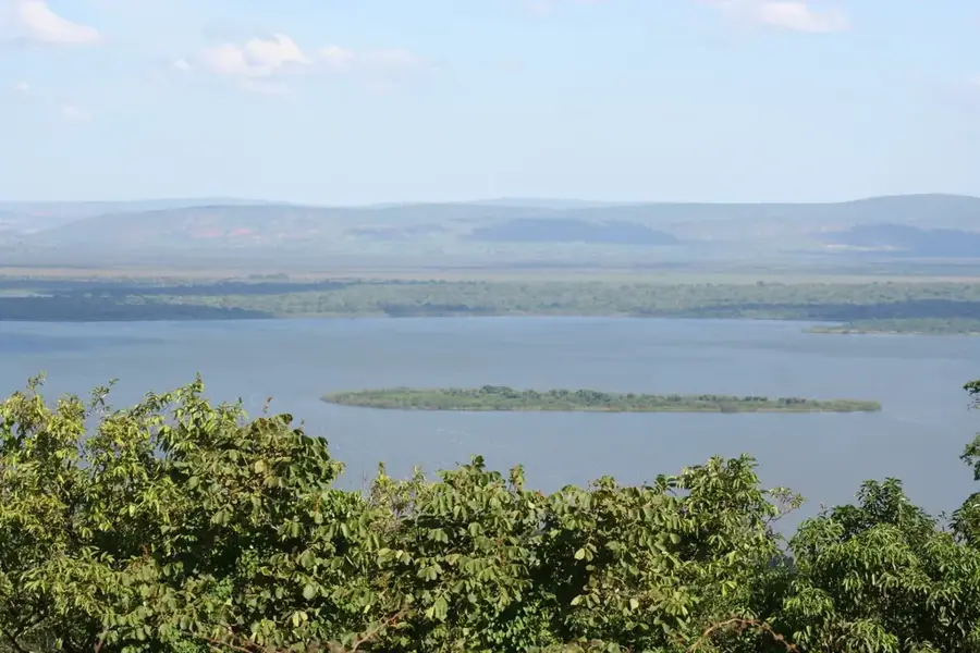
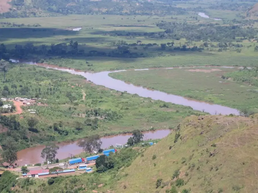
The border area with Tanzania in eastern Rwanda is defined by the Akagera River, which forms the natural boundary between the two countries. This region is part of the larger East African savanna ecosystem. The landscape is dominated by the Akagera Plain, with its rolling hills, lakes, and wetlands. Akagera National Park stretches along this border and shares many of its wildlife populations with adjacent protected areas in Tanzania, such as the Ibanda-Kyerwa National Park. This cross-border connectivity is crucial for the migration and genetic exchange of wildlife like elephants and lions. The region is less densely populated than the rest of Rwanda and has a distinct rural and wild atmosphere.
- Location: Rwanda
- Nearby: Nasho (9 km)
Best time to visit & climate
The most pleasant time to visit is Jun–Aug.
| Jan | Feb | Mar | Apr | May | Jun | Jul | Aug | Sep | Oct | Nov | Dec | |
|---|---|---|---|---|---|---|---|---|---|---|---|---|
| Avg °C | 22 | 22 | 22 | 21 | 21 | 21 | 21 | 22 | 22 | 22 | 21 | 21 |
| Rain mm | 93 | 92 | 155 | 174 | 124 | 34 | 20 | 43 | 97 | 136 | 169 | 106 |
📋 Practical info
Geography
Facts
- The Akagera River is part of the upper headwaters of the Nile.
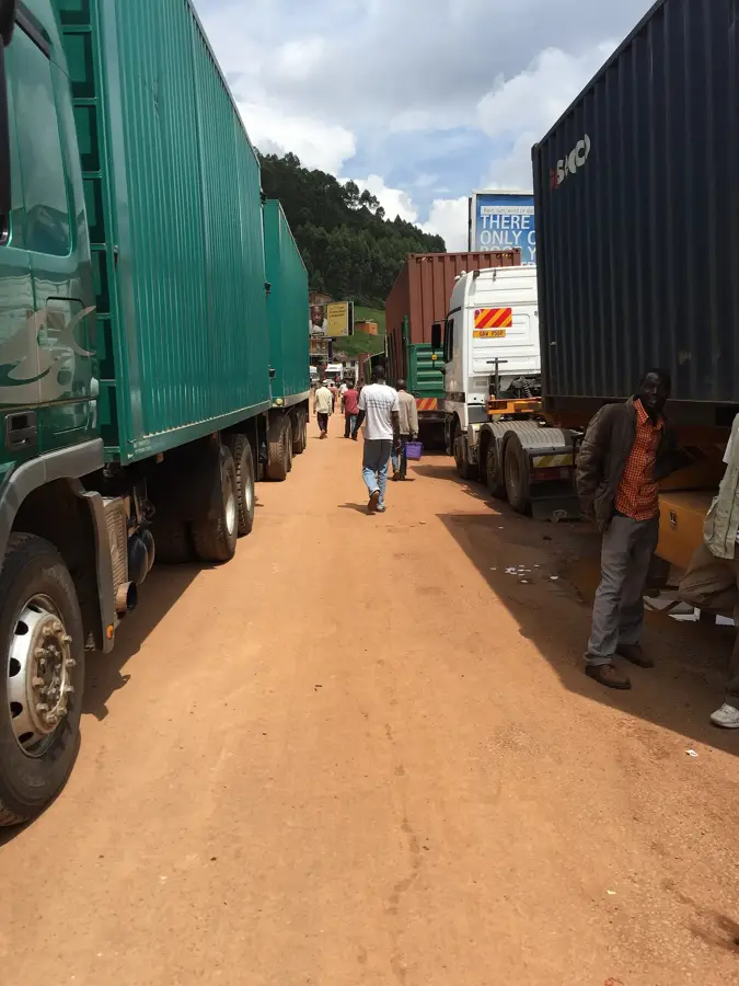
- Rusumo Falls, on the border, is a major border crossing point.
- The area is a potential corridor for the spread of animal diseases.
- Joint conservation efforts between Rwanda and Tanzania are crucial for the region.
- Border security is important for combating poaching.
- The Kagera Salient was the scene of fighting during the Uganda-Tanzania War.
- The culture of the local communities is closely tied to the river and the savanna.
Explore nearby
Notable places around
Route planner — Car & Motorhome
Where do you start? We build the route here, with stops and country notes along the way.
© OpenStreetMap contributors · OpenRouteService
Sights nearby
Frequently asked questions
Is the border area developed for tourism?
Is it easy to cross the border?
Are there safety concerns?
What is the highlight of the region?
Do you need a special permit?
Tanzania Border Area: where is it located?
Tanzania Border Area: when is the best time to visit?
Tanzania Border Area: why is it worth visiting?

Nearby cities


History & landmarks
Nature


More places