Plizio Visual Lab
Mzingwane Valley
Weather…
Water temperature…
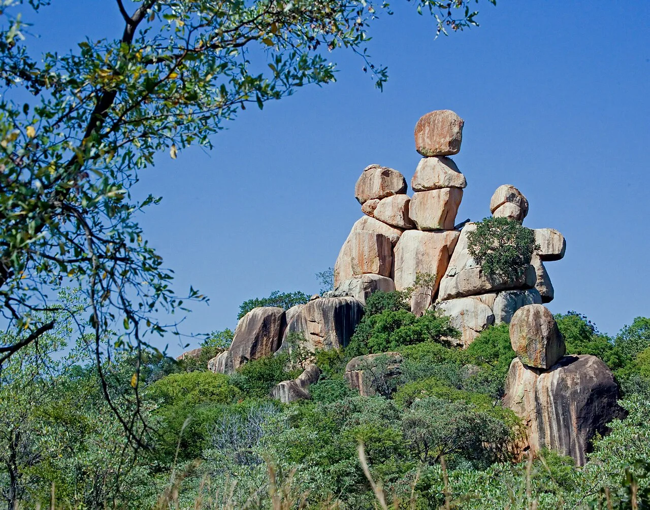
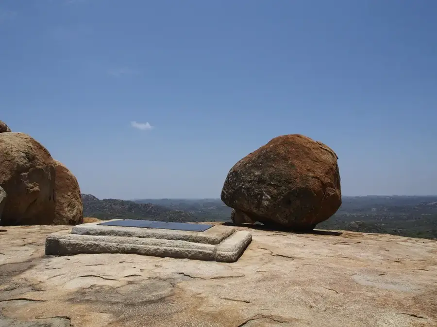
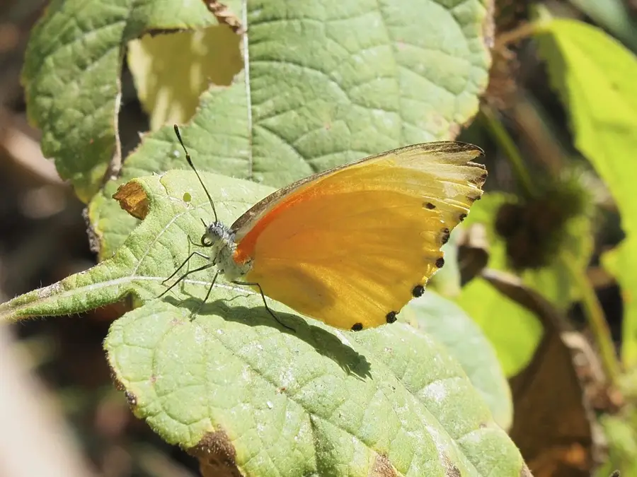
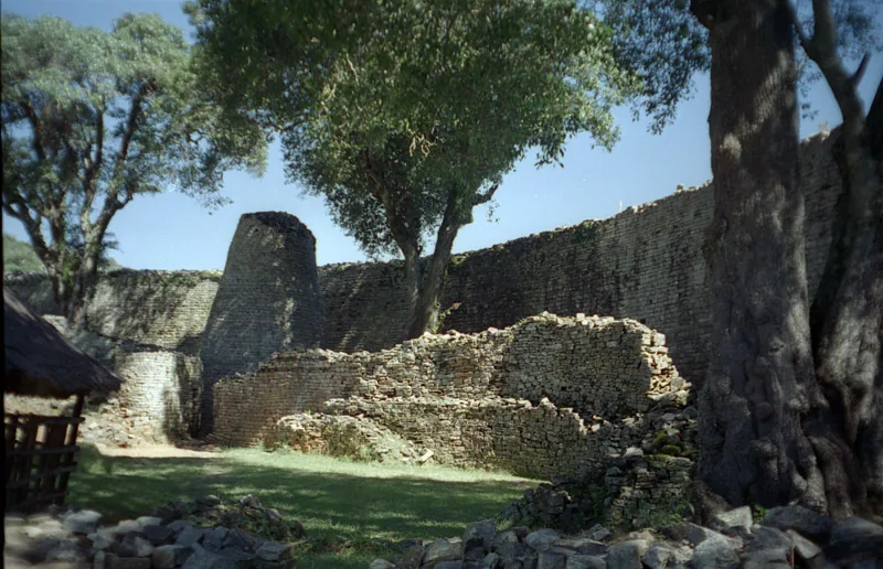
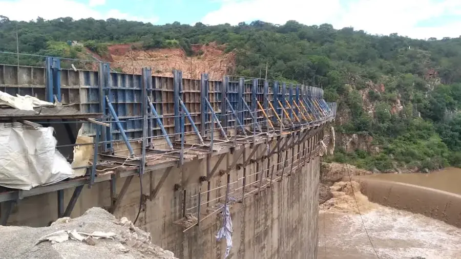
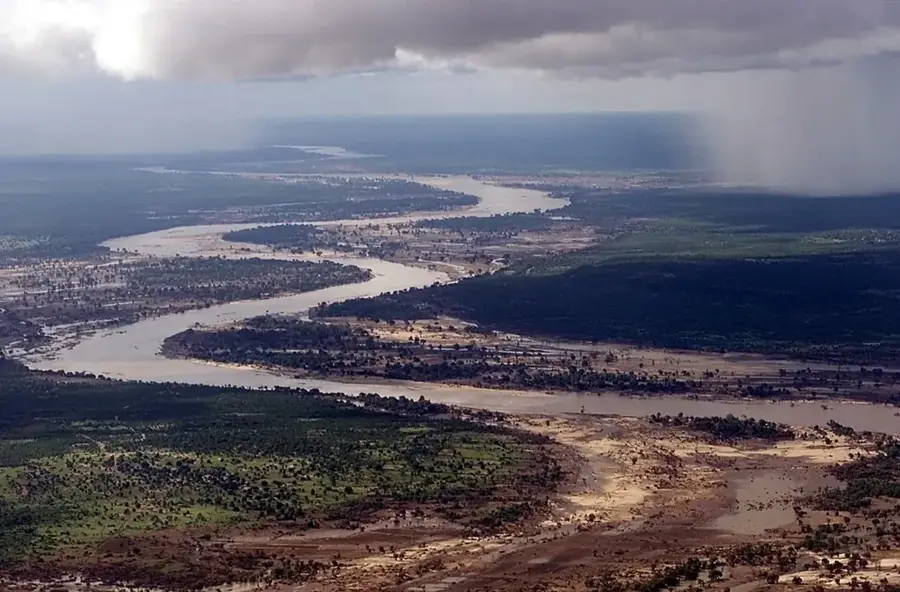
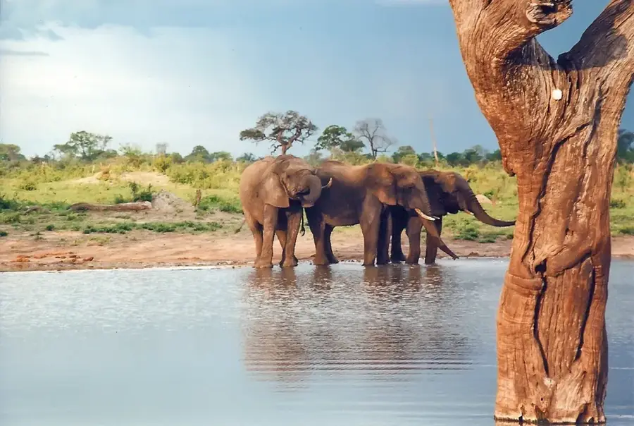
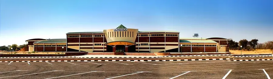
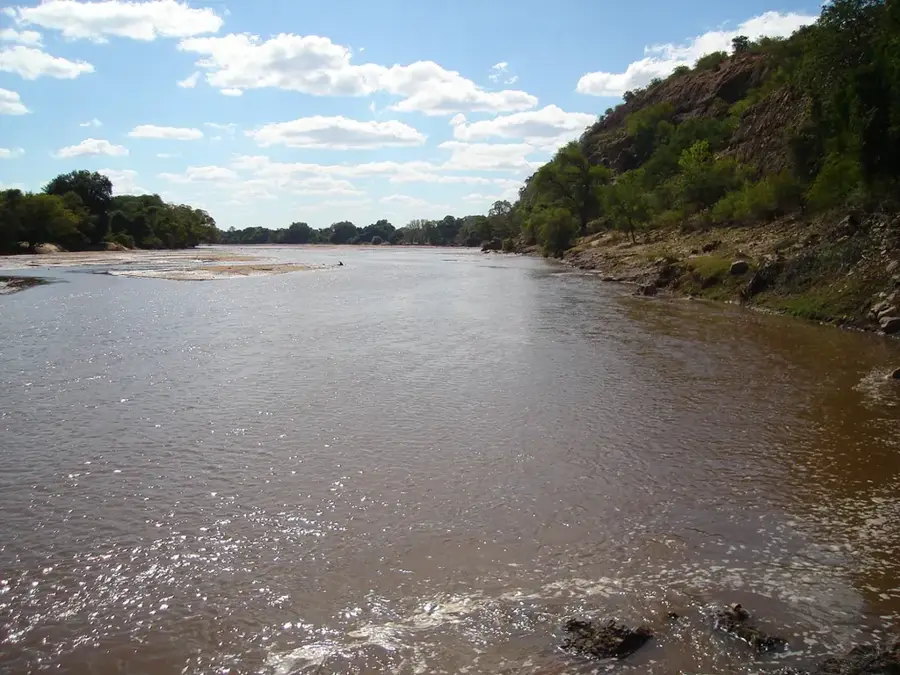
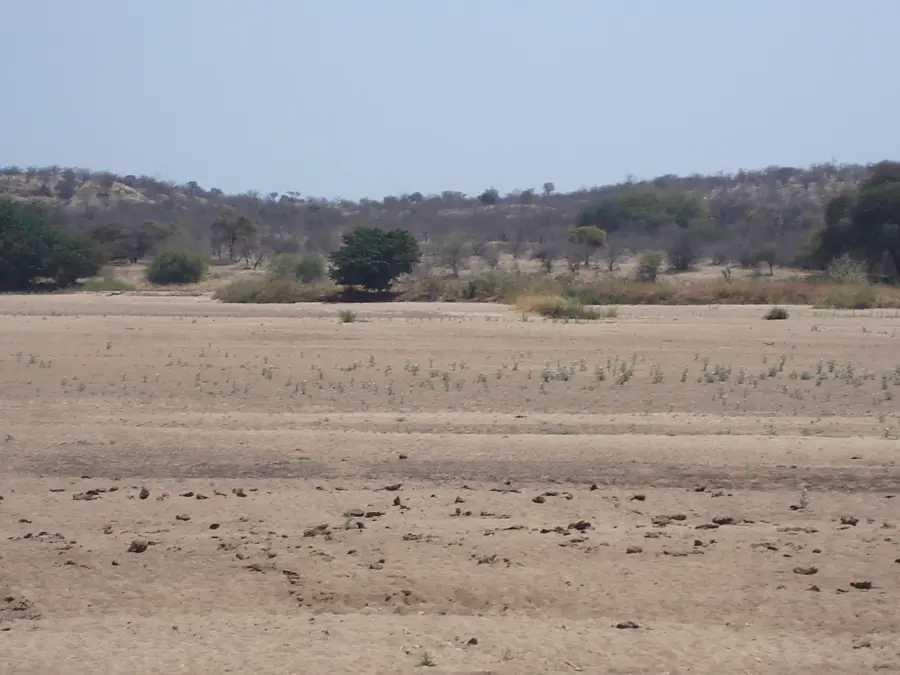
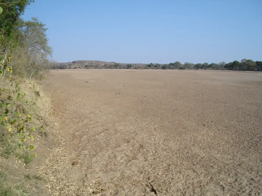
The Mzingwane Valley is located in southern Matabeleland and is a significant river basin formed by the Mzingwane River, a major tributary of the Limpopo. This region is characterized by a dry, hot climate and is predominantly located in the Lowveld. The landscape is dominated by extensive mopane woodlands, thorny acacias, and occasionally towering granite kopjes. Because the river often dries up seasonally and only carries abundant water after heavy summer rains, agriculture relies heavily on the Mzingwane Dam, which not only provides irrigation for surrounding farms but also secures the water supply for the metropolis of Bulawayo. Despite the harsh conditions, the valley is rich in wildlife, which concentrates in the reserves along the river. In addition, the region has historical significance as it is located close to the old trade routes to the Limpopo Basin and still hides remains of prehistoric settlements.
- Location: Zimbabwe
- Nearby: Beitbridge (42 km)
Best time to visit & climate
The most pleasant time to visit is May, Aug, Sep.
| Jan | Feb | Mar | Apr | May | Jun | Jul | Aug | Sep | Oct | Nov | Dec | |
|---|---|---|---|---|---|---|---|---|---|---|---|---|
| Avg °C | 27 | 27 | 26 | 24 | 21 | 18 | 18 | 20 | 23 | 26 | 27 | 28 |
| Rain mm | 83 | 68 | 51 | 24 | 7 | 5 | 13 | 2 | 10 | 26 | 58 | 90 |
📋 Practical info
Geography
Explore nearby
Notable places around
Route planner — Car & Motorhome
Where do you start? We build the route here, with stops and country notes along the way.
© OpenStreetMap contributors · OpenRouteService
Sights nearby
Frequently asked questions
Is Mzingwane-Tal developed for tourists?
What is the food supply situation like?
Are there wildlife there?
What are the road conditions like?
When is the best time for a trip?
Mzingwane Valley: where is it located?
Mzingwane Valley: when is the best time to visit?
Mzingwane Valley: why is it worth visiting?

Nearby cities

History & landmarks
Nature
More places