Plizio Visual Lab
Mapungubwe
Weather…
Water temperature…
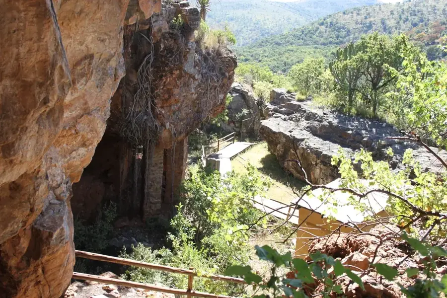
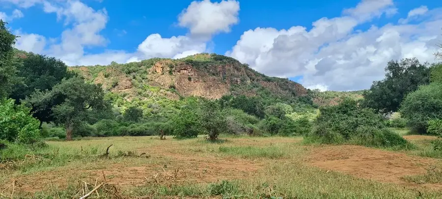
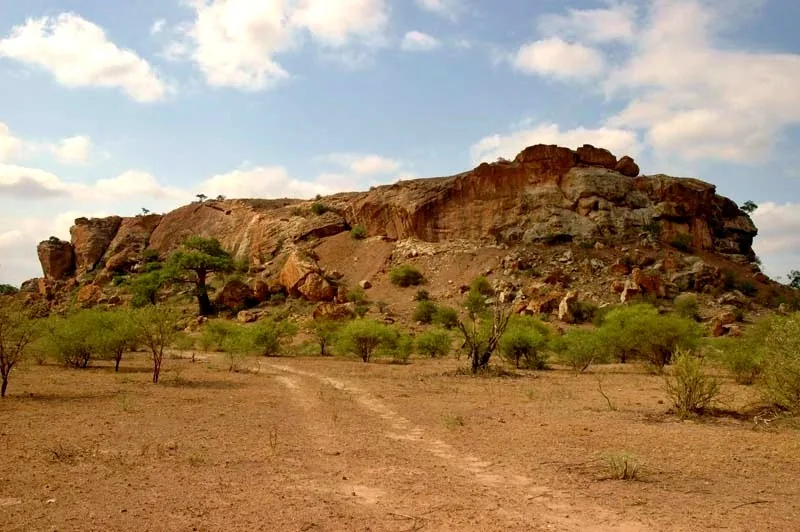
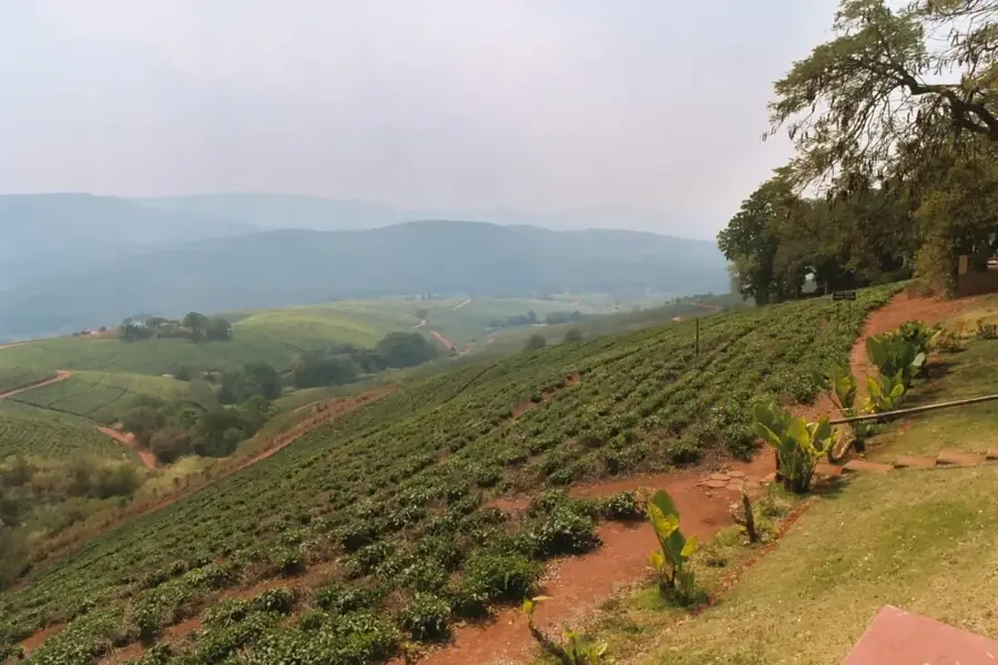
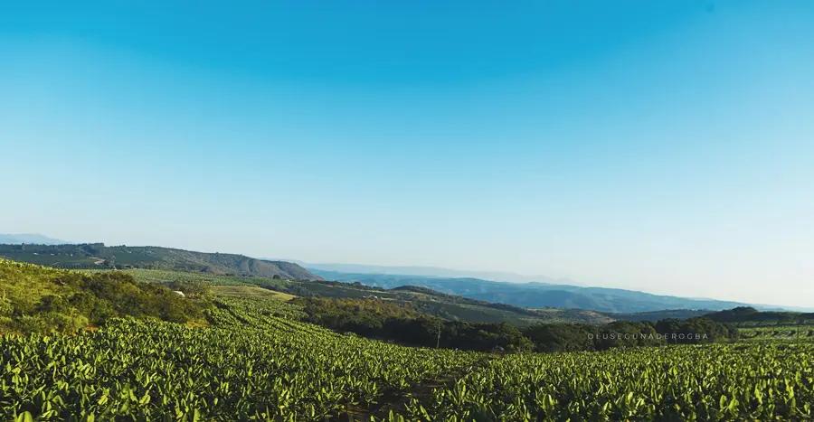
Mapungubwe was the capital of a prosperous Iron Age kingdom that flourished between 900 and 1300 AD at the confluence of the Limpopo and Shashe rivers. It is regarded as the first complex state in Southern Africa, characterized by a distinct class-based social structure where royalty resided on a secluded hilltop plateau. Archaeological excavations in the 1930s uncovered significant treasures, most notably a small golden rhinoceros, which symbolizes the kingdom's wealth and sophisticated metallurgy. The state was a pivotal hub in an international trade network, exchanging gold and ivory for glass beads and ceramics from as far as India and China. Today, the site is protected within the Mapungubwe National Park and was declared a UNESCO World Heritage Site in 2003. The modern Interpretation Centre showcases these artifacts and tells the story of the rise and fall of this pre-colonial civilization. The site has a profound look at the region's ancient urban development and environmental adaptation.
- Location: South Africa
- Top sights: Confluence View Point · Tree-top Walk · K2 Cultural Site
Best time to visit & climate
The most pleasant time to visit is May, Aug, Sep.
| Jan | Feb | Mar | Apr | May | Jun | Jul | Aug | Sep | Oct | Nov | Dec | |
|---|---|---|---|---|---|---|---|---|---|---|---|---|
| Avg °C | 27 | 27 | 26 | 24 | 21 | 18 | 17 | 20 | 24 | 26 | 27 | 28 |
| Rain mm | 83 | 68 | 49 | 19 | 5 | 3 | 3 | 1 | 6 | 22 | 59 | 90 |
📋 Practical info
Geography
Facts
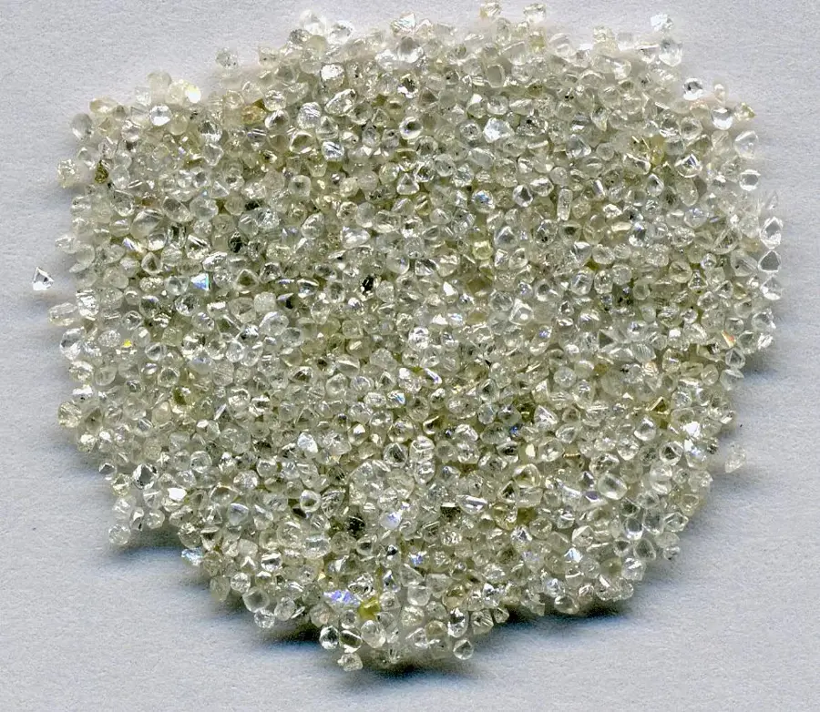
- The golden rhinoceros figurine was discovered in a royal grave in 1932.
- Mapungubwe was the largest settlement in Southern Africa prior to Great Zimbabwe.
- The site was officially inscribed as a UNESCO World Heritage Site in 2003.
- Royalty lived on top of a 30-meter-high sandstone hill, separated from the commoners.
- Artifacts like porcelain and glass beads prove trade links with China and India.
- The kingdom was abandoned around 1300 AD, likely due to a cooling climate.
Explore nearby
Notable places around
Route planner — Car & Motorhome
Where do you start? We build the route here, with stops and country notes along the way.
© OpenStreetMap contributors · OpenRouteService
Sights in the town Mapungubwe (8)
Sights nearby
Frequently asked questions
What is the best way to get to Mapungubwe?
Are there accommodation options in the park?
Do you need a guide for the archaeological site?
What is the weather like in this region?
Is the place suitable for families?
Mapungubwe: where is it located?
Mapungubwe: what is there to see?
Mapungubwe: when is the best time to visit?
Mapungubwe: why is it worth visiting?

Nearby cities
History & landmarks
More places