Plizio Visual Lab
Lupane
ℹ️Practical info — Lupane
▾
🌤 Weather — 5 days
📍 Nearby
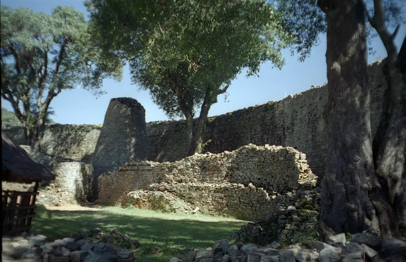
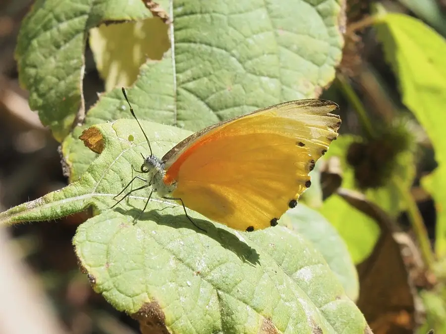
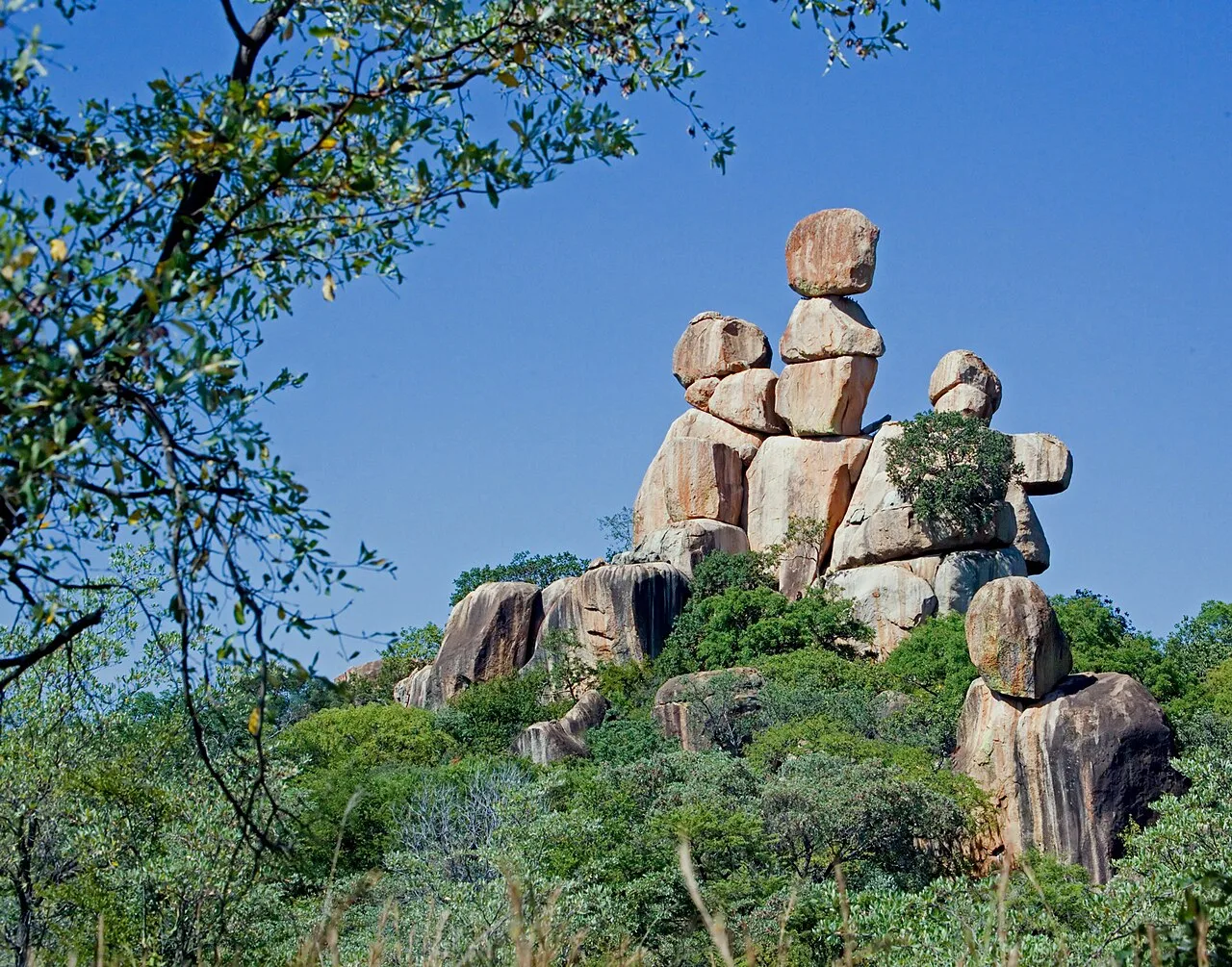
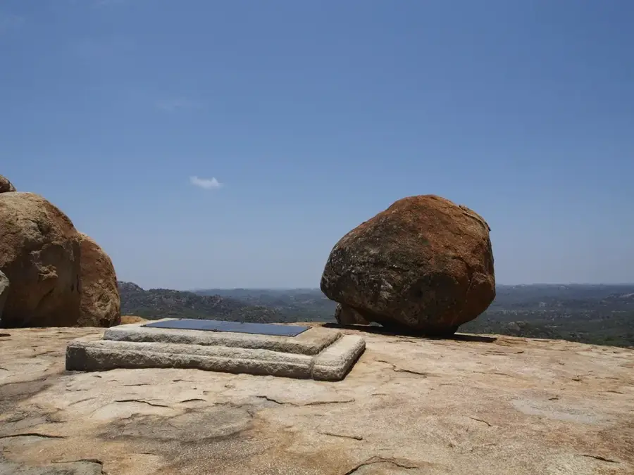
Sights nearby
💡 Tips
- Lupane is a great halfway stop between Bulawayo and Victoria Falls to refuel and stretch your legs.
- The region gets very hot; always carry extra drinking water in your vehicle.
- Support local artisans by visiting the renowned Lupane Women's Centre for handmade crafts.
- The area is quite rural, so keep small US dollar denominations handy for roadside purchases.
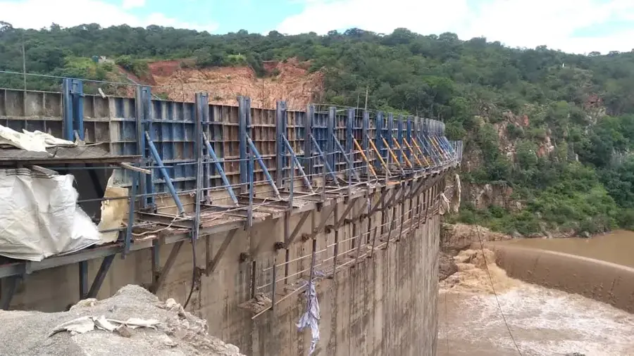
- Bubi-Lupane Dam is a great detour for birdwatching and photography.
🍽 Food
The staple maize meal served with greens and meat stew at roadside diners.
A protein-rich local delicacy that is often fried crisp and salted.
Barbecued meats, popular for a hearty meal at rest stops and local taverns.
🛍 Shopping · 🧘 Quiet spots
Famous for exquisite woven baskets made from ilala palm and other traditional crafts.
Great for picking up fresh, seasonal local fruits directly from the farmers.
Hand-carved wooden souvenirs frequently sold along the main highway.
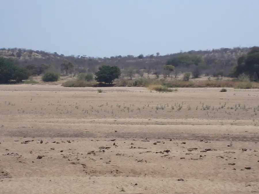
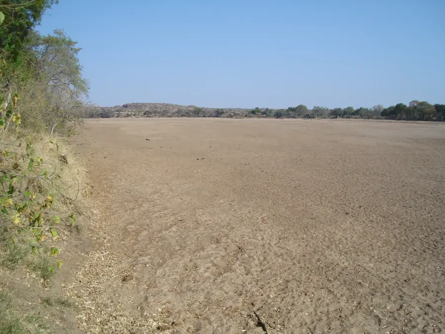
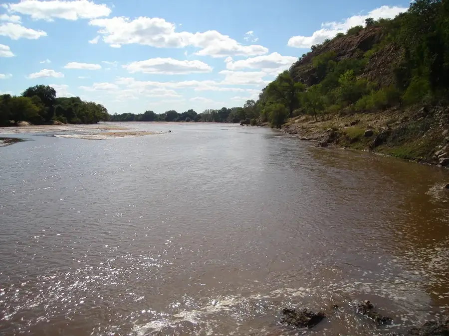
A tranquil body of water well-suited for a quiet picnic and birdwatching.
Open, landscaped grounds for a peaceful stroll away from the highway.
Find large, ancient trees on the outskirts offering cool, quiet resting spots.
Water temperature…
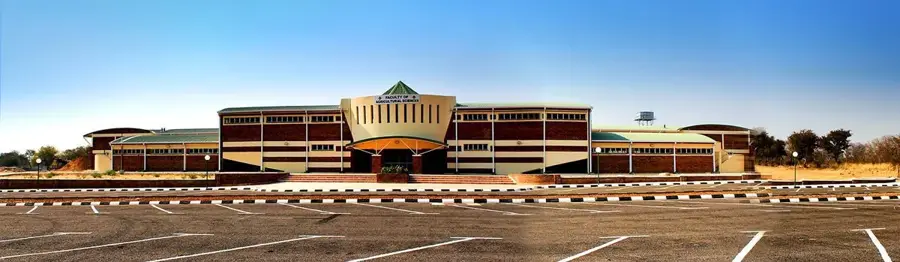
Lupane serves as the administrative capital of Zimbabwe's Matabeleland North Province, strategically positioned along the main highway connecting Bulawayo to the iconic Victoria Falls. Over the past two decades, Lupane has transitioned from a small service center into a thriving regional hub, primarily driven by the establishment of the Lupane State University (LSU). The university has not only enhanced the town's educational profile but has also stimulated the development of new housing, retail, and service sectors. Economically, the surrounding district is renowned for its vast indigenous forests, producing high-quality teak and mahogany timber that sustains a significant forestry industry. Furthermore, Lupane is at the center of a major national energy project involving the extraction of coal-bed methane gas, which holds the potential to significantly boost the country's electricity generation. As an administrative node, the town hosts provincial government offices and courts, providing essential services to the wider Matabeleland region. Lupane embodies a blend of modern academic growth and industrial potential, all while remaining deeply rooted in the agricultural lifestyle of its local communities.
- Location: Zimbabwe
- Nearby: Tsholotsho (82 km)
- Population: ~2.211 (2026)
Best time to visit & climate
The most pleasant time to visit is Apr, May, Aug.
| Jan | Feb | Mar | Apr | May | Jun | Jul | Aug | Sep | Oct | Nov | Dec | |
|---|---|---|---|---|---|---|---|---|---|---|---|---|
| Avg °C | 25 | 24 | 24 | 22 | 20 | 17 | 17 | 20 | 24 | 27 | 27 | 25 |
| Rain mm | 146 | 112 | 71 | 26 | 3 | 2 | 0 | 0 | 2 | 17 | 65 | 151 |
Geography
Facts
- Population: approx. 15,000 (2022).
- Distance from Victoria Falls: 100 km.
- Provincial capital since 1999.
- Area of Matabeleland North Province: 75,000 km².
- Elevation: approx. 1,100 m above sea level.
- Lupane State University founded in 2007.
Explore nearby
Notable places around
Route planner — Car & Motorhome
Where do you start? We build the route here, with stops and country notes along the way.
© OpenStreetMap contributors · OpenRouteService
Frequently asked questions
What is the role of Lupane?
How do you get to Lupane?
Are there attractions?
Is the town a good stopover?
How is the availability of services?
Lupane: where is it located?
Lupane: when is the best time to visit?
Lupane: why is it worth visiting?

Nearby cities
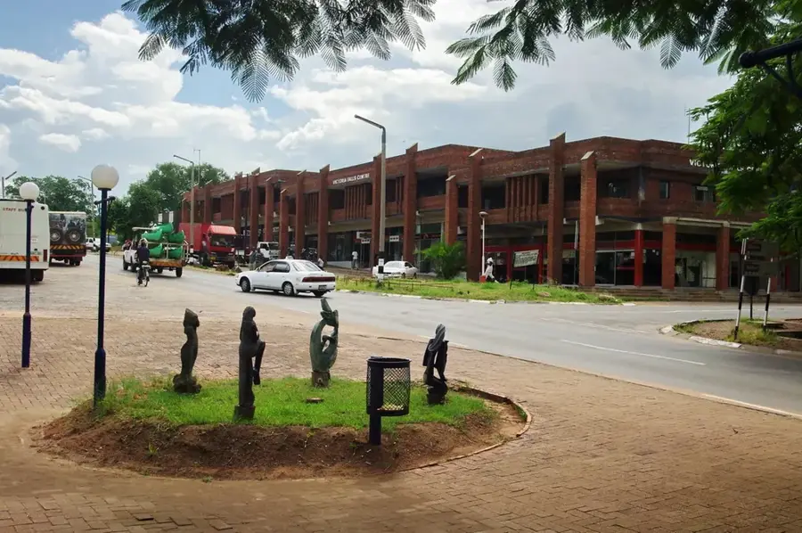

History & landmarks
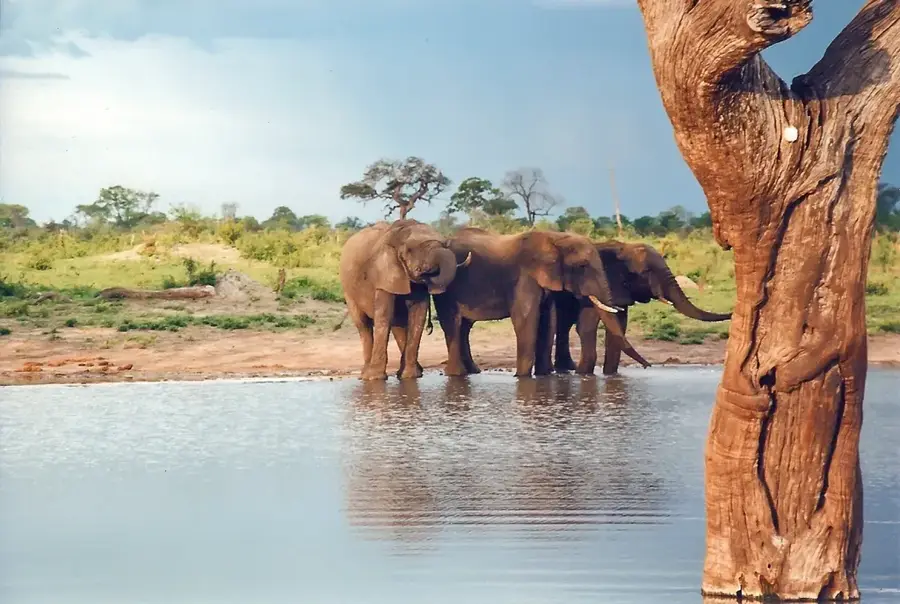
Nature
More places