Plizio Visual Lab
Limpopo Basin

Weather…
Water temperature…
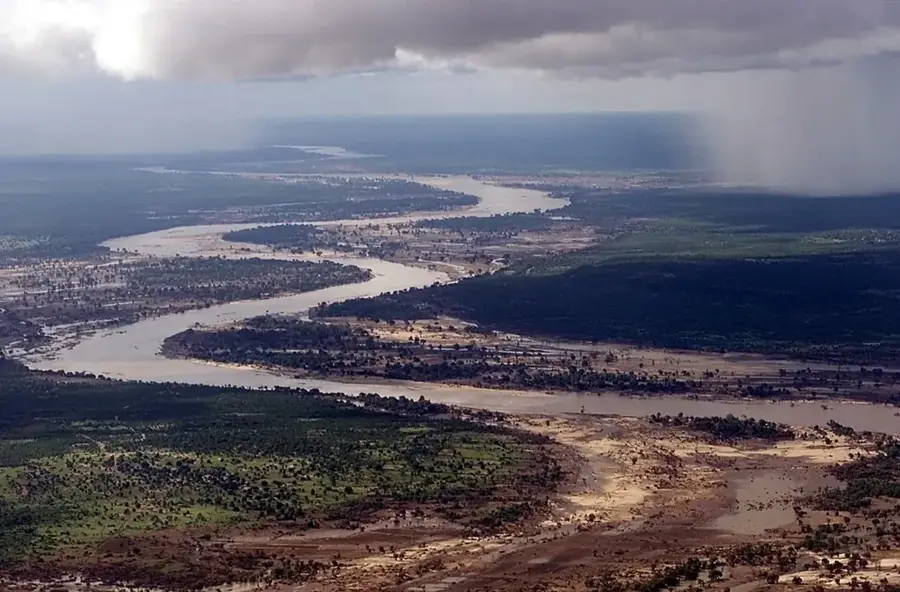
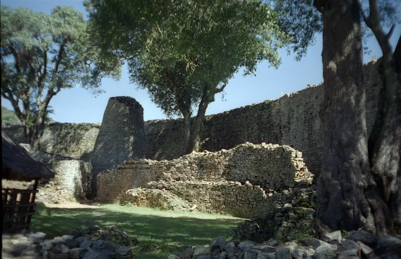
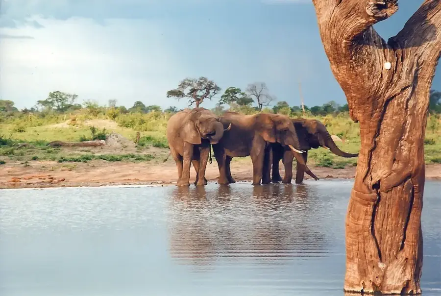
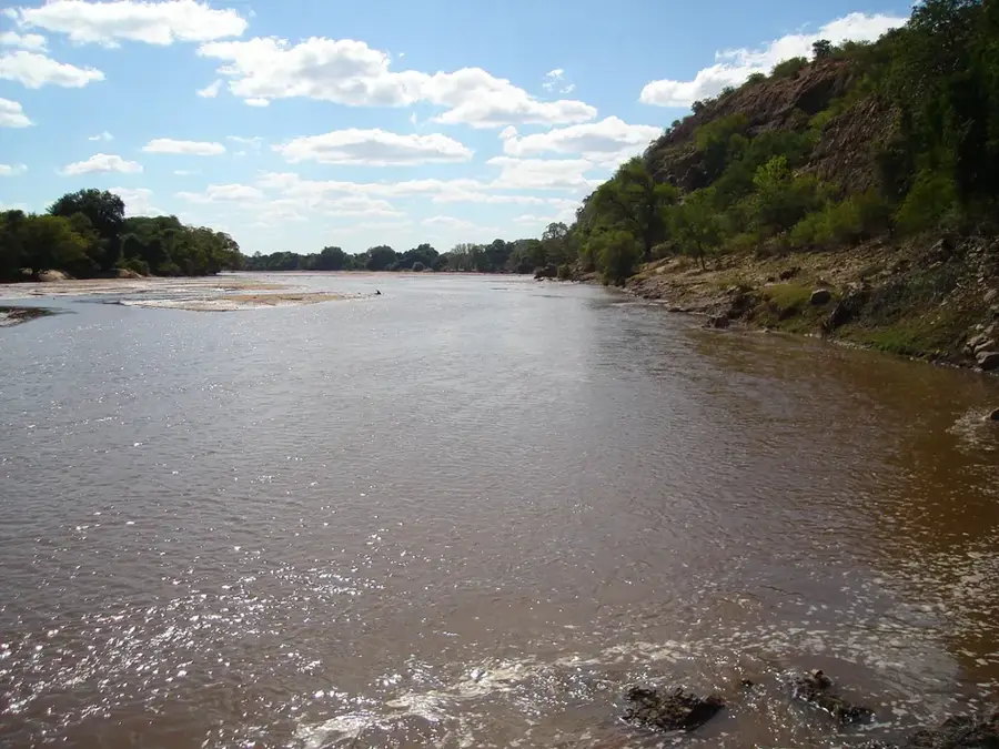
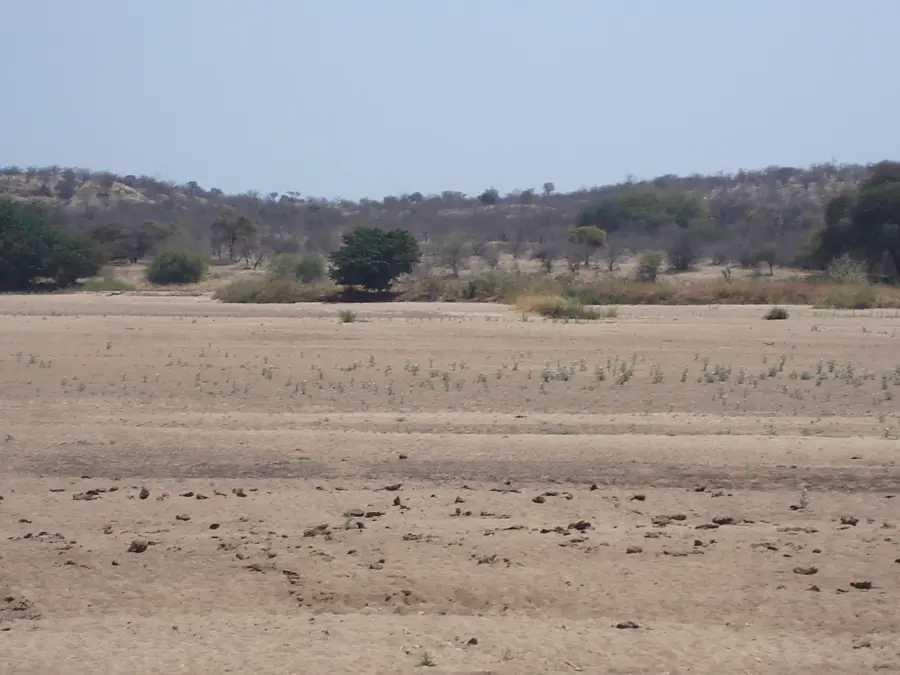
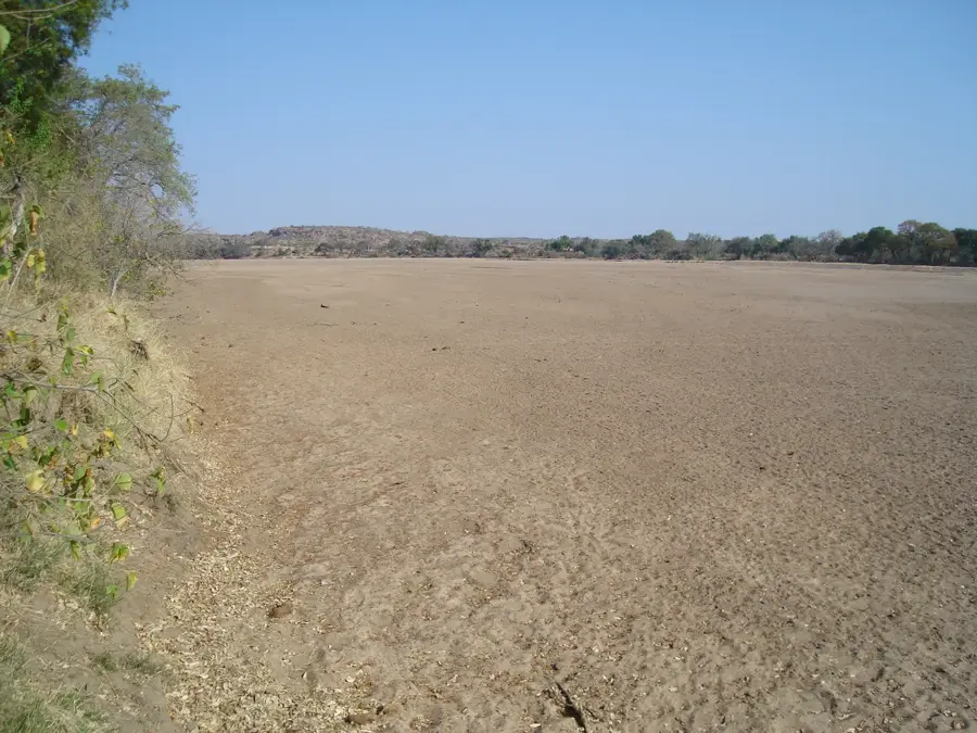
The Limpopo Basin in the deep south of Zimbabwe is a vast, rugged, and heavily drought-prone landscape that forms the catchment area of the Limpopo River on the border with South Africa. This lowland area lies mostly below 600 meters above sea level and receives only minimal, unreliable rainfall, making the region a semi-desert. The vegetation consists primarily of tough mopane shrubs, thorny acacias, and ancient, imposing baobab trees that are perfectly adapted to the harsh conditions. Conventional agriculture is hardly possible here without artificial irrigation; instead, extensive game farms and nature reserves, such as the Tuli Block Conservancy, dominate. The basin has a fascinating historical dimension, as it was part of ancient trade routes, and the archaeological site of Mapungubwe on the banks of the river bears witness to early advanced civilizations. Today, the remote wilderness attracts safari tourists looking for an authentic bush experience.
- Location: Zimbabwe
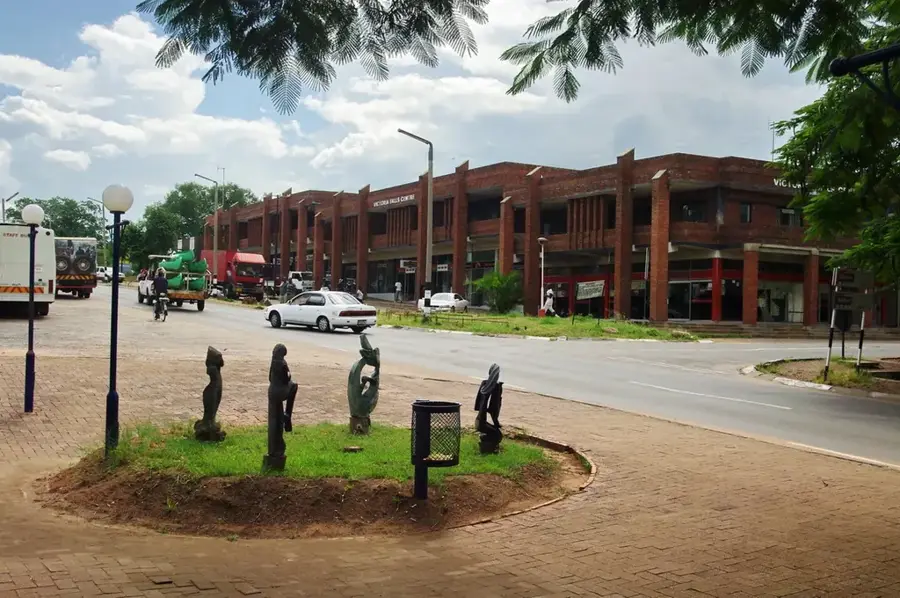
- Nearby: Beitbridge (21 km)
Best time to visit & climate
The most pleasant time to visit is May, Aug, Sep.
| Jan | Feb | Mar | Apr | May | Jun | Jul | Aug | Sep | Oct | Nov | Dec | |
|---|---|---|---|---|---|---|---|---|---|---|---|---|
| Avg °C | 27 | 27 | 26 | 24 | 21 | 18 | 18 | 20 | 23 | 26 | 27 | 28 |
| Rain mm | 83 | 68 | 51 | 24 | 7 | 5 | 13 | 2 | 10 | 26 | 58 | 90 |
📋 Practical info
Geography
Explore nearby
Notable places around
Route planner — Car & Motorhome
Where do you start? We build the route here, with stops and country notes along the way.
© OpenStreetMap contributors · OpenRouteService
Sights nearby
Frequently asked questions
What does Limpopo-Becken offer?
Do you need to take malaria precautions?
What is the heat like there?
Are boat trips possible?
Where can one camp there?
Limpopo Basin: where is it located?
Limpopo Basin: when is the best time to visit?
Limpopo Basin: why is it worth visiting?

Nearby cities

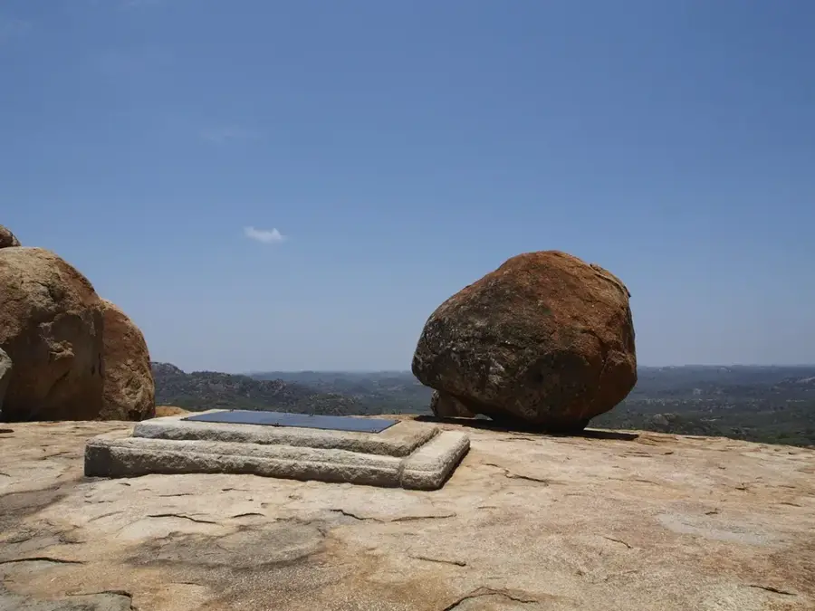
History & landmarks
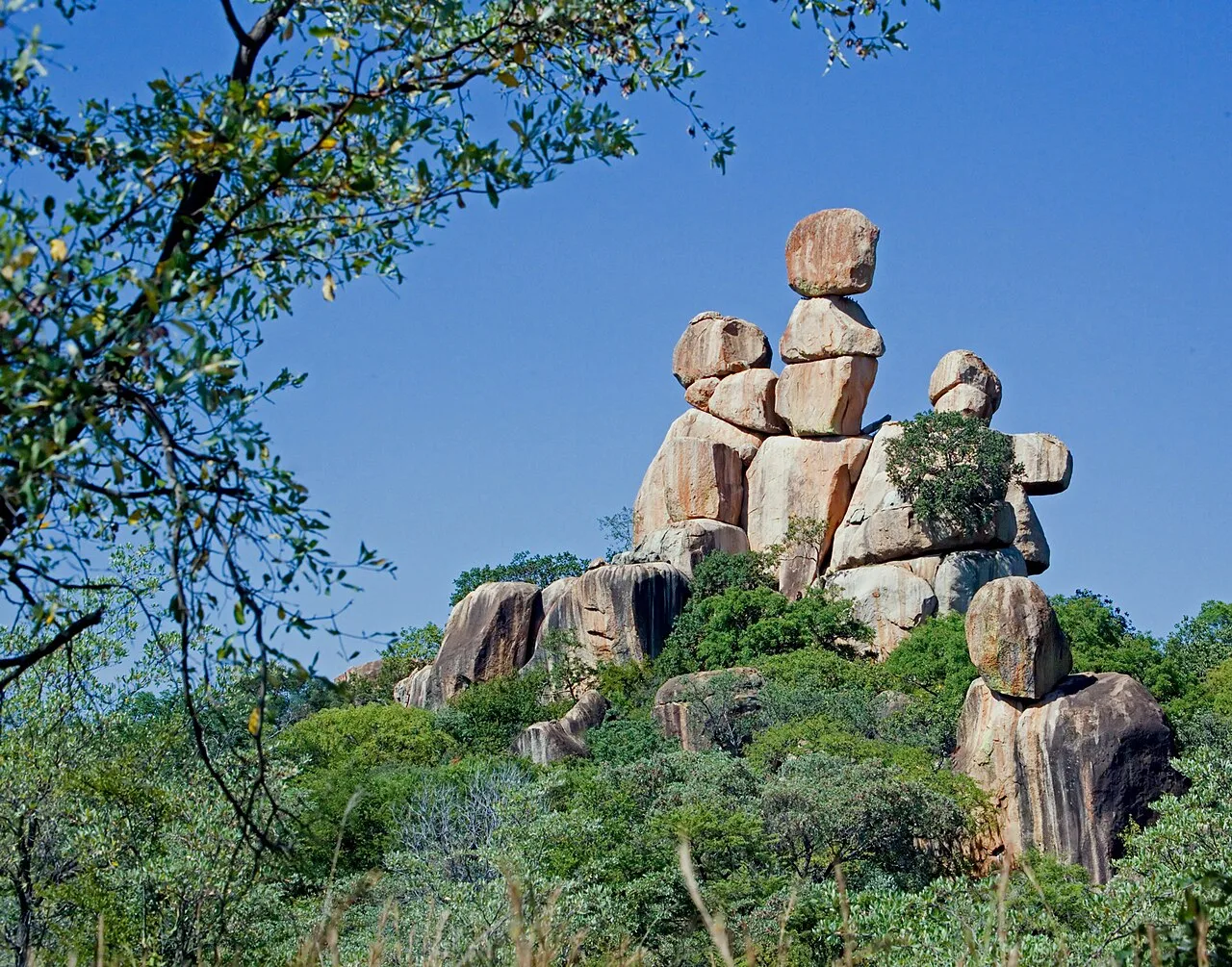
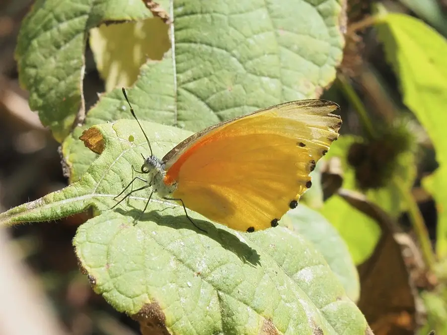
Nature
More places