Plizio Visual Lab
Gwayi Valley
Weather…
Water temperature…
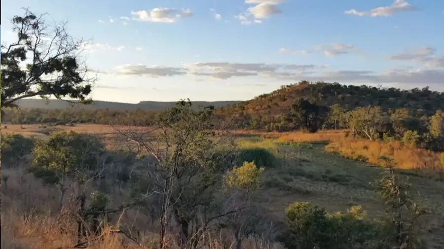
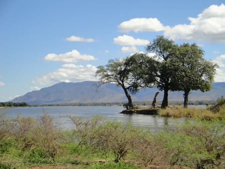
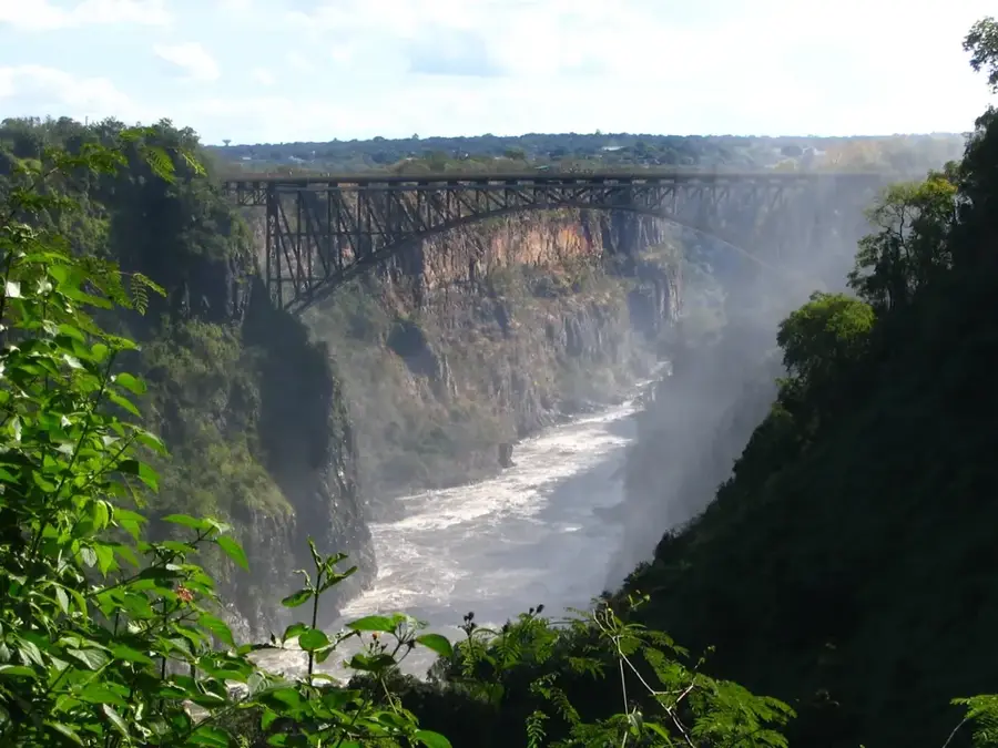
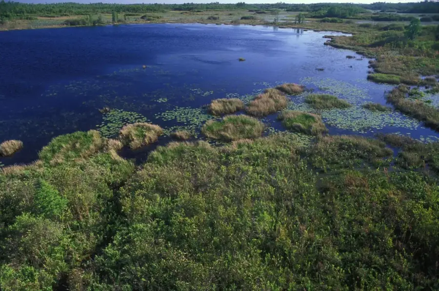
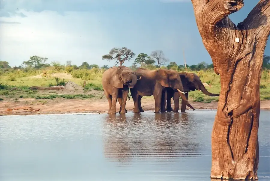
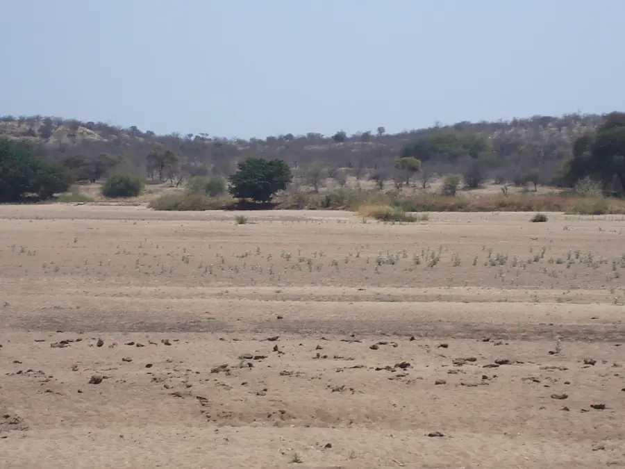
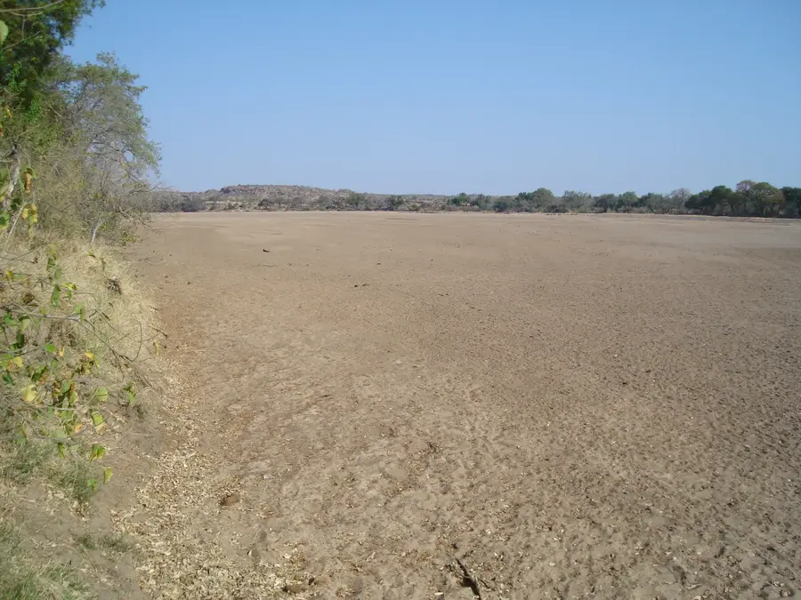
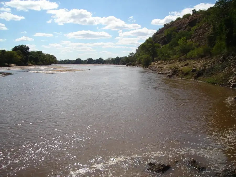
The Gwayi Valley in western Zimbabwe is an extensive river basin traversed by the Gwayi River, a major tributary of the Zambezi. This wide, relatively flat depression is characterized by extensive Kalahari sands and dry forests, particularly the dense teak forests that cover much of the landscape. The valley is of enormous ecological significance, as it directly borders the Hwange National Park and serves as a crucial corridor for wildlife migrating between the park and the valley's permanent water sources during the dry season. Huge herds of elephants, lions, and numerous antelope species populate this region. Economically, the valley is important not only for tourism and wildlife viewing but also due to significant coal deposits beneath the surface. The remote and wild nature of the Gwayi Valley gives visitors an authentic safari experience off the beaten track.
- Location: Zimbabwe
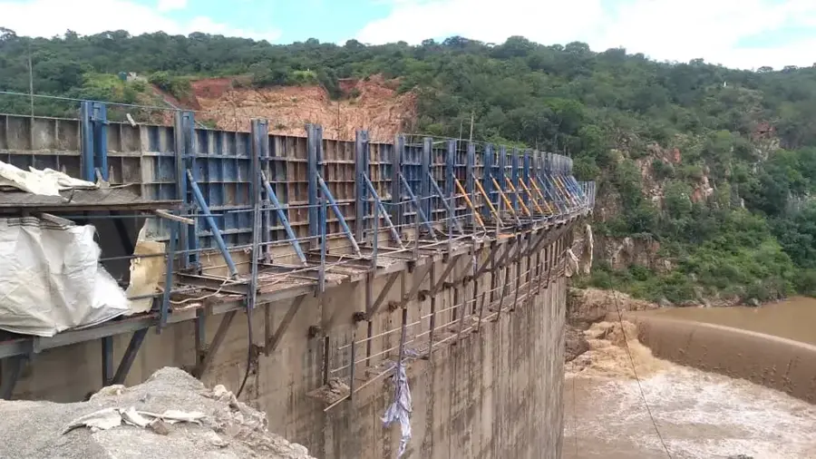
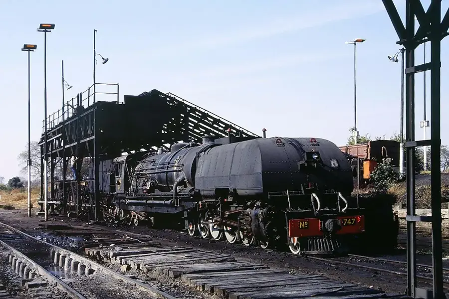
- Top sights: Shangani River · Matabeleland Zambezi Water Project
- Nearby: Dete (39 km)
Best time to visit & climate
The most pleasant time to visit is May, Jun, Aug.
| Jan | Feb | Mar | Apr | May | Jun | Jul | Aug | Sep | Oct | Nov | Dec | |
|---|---|---|---|---|---|---|---|---|---|---|---|---|
| Avg °C | 25 | 25 | 25 | 23 | 21 | 19 | 18 | 21 | 25 | 28 | 28 | 26 |
| Rain mm | 149 | 133 | 80 | 30 | 3 | 2 | 0 | 0 | 2 | 15 | 65 | 142 |
📋 Practical info
Geography
Explore nearby
Notable places around
Route planner — Car & Motorhome
Where do you start? We build the route here, with stops and country notes along the way.
© OpenStreetMap contributors · OpenRouteService
Sights in the town Gwayi Valley (2)
Sights nearby
Frequently asked questions
What does Gwayi-Tal offer for nature lovers?
Is a 4x4 vehicle necessary?
What is the restroom availability like?
Is wild camping allowed?
When is the best time to travel?
Gwayi Valley: where is it located?
Gwayi Valley: what is there to see?
Gwayi Valley: when is the best time to visit?
Gwayi Valley: why is it worth visiting?

Nearby cities

History & landmarks
Nature
More places