Plizio Visual Lab
Tsholotsho
ℹ️Practical info — Tsholotsho
▾
🌤 Weather — 5 days
📍 Nearby
Sights nearby
💡 Tips
- Carry South African Rand (ZAR) as it is the preferred currency for daily transactions over the US Dollar.
- Always greet locals formally with 'Linjani' before asking for directions or starting a transaction.
- Tsholotsho is a malaria-risk area; ensure you use insect repellent and sleep under a mosquito net.
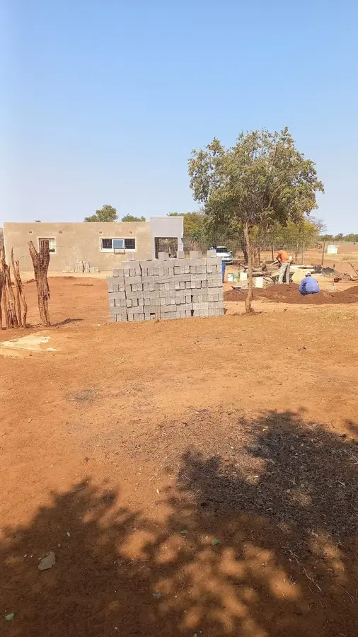
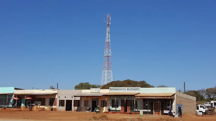
- The Business Center (Growth Point) is the pulse of the town where you can find essential services.
- Always ask for permission before taking photos of people or their traditional homesteads.
🍽 Food
Try this protein-rich local delicacy, usually sold dried or fried with tomatoes and onions at market stalls.
Enjoy organic, free-range chicken typically served with sadza (maize pap) and a hearty gravy.
These nutritious nuts are often sold boiled as a snack by street vendors near the Growth Point.
🛍 Shopping · 🧘 Quiet spots
Buy seasonal produce here, including watermelons and traditional dried vegetables (mifushwa).
Look for this local clothing line, often showcased at the annual district agricultural show.
Visit the ancient teak forests for quiet walks and photography; it is best to go with a local guide.
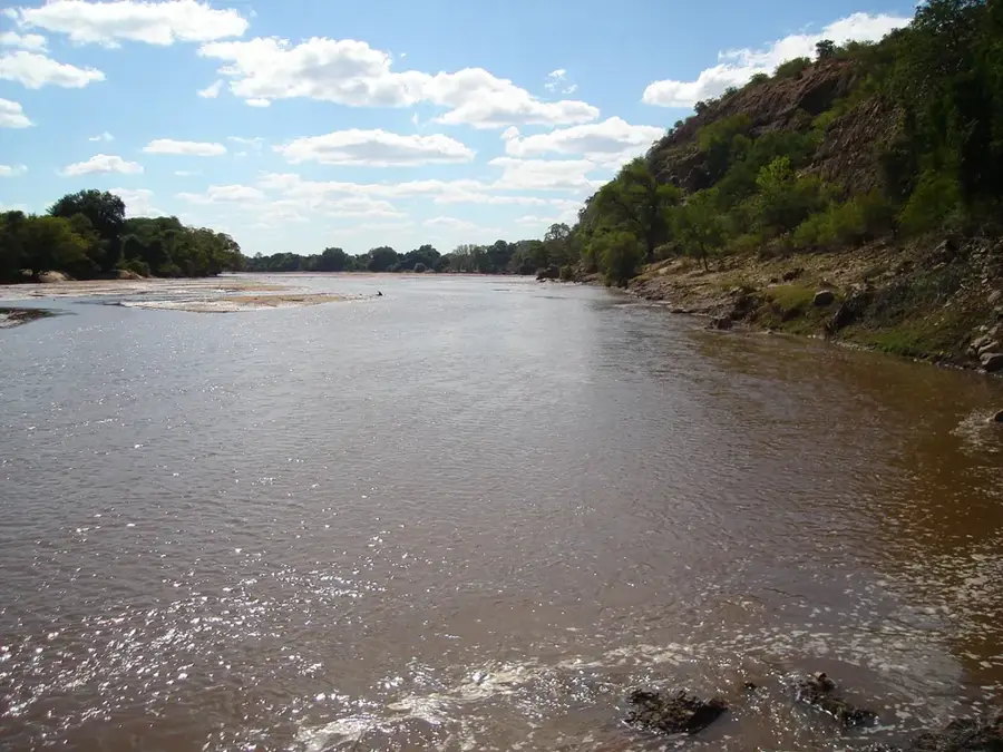
A peaceful spot for birdwatching, but stay well back from the water's edge due to crocodiles.
Water temperature…
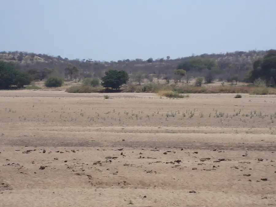
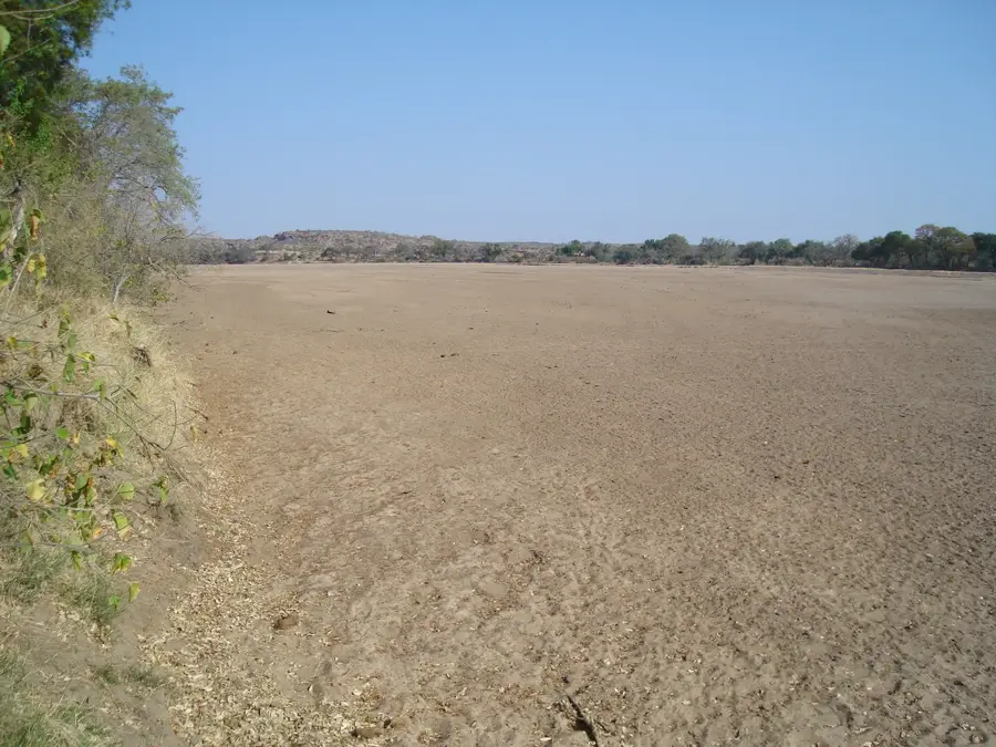
Tsholotsho is a significant administrative and cultural hub in the Matabeleland North province of western Zimbabwe, positioned on the edge of the vast Kalahari sands. The town is particularly renowned for being a center of San cultural heritage, preserving the traditions and history of some of the region's earliest inhabitants. Its economy is largely driven by agriculture and forestry, with the surrounding areas being rich in indigenous timber, notably the valuable Zimbabwean Teak. As the district capital, it serves as a crucial trade and education center for the rural population of the western frontier. Tsholotsho’s proximity to the Hwange National Park makes it a strategic point for those venturing into Zimbabwe's premier wildlife areas. Despite the challenging sandy terrain, the community is known for its resilience and spirited artistic expressions, including unique basketry and traditional music. For travelers, Tsholotsho provides a genuine experience of rural Zimbabwean life and a rare opportunity to engage with the ancient cultural layers of the San people.
- Location: Zimbabwe
- Nearby: Plumtree (71 km)
Best time to visit & climate
The most pleasant time to visit is Apr, Aug, Sep.
| Jan | Feb | Mar | Apr | May | Jun | Jul | Aug | Sep | Oct | Nov | Dec | |
|---|---|---|---|---|---|---|---|---|---|---|---|---|
| Avg °C | 24 | 23 | 23 | 21 | 18 | 16 | 15 | 18 | 22 | 25 | 25 | 24 |
| Rain mm | 127 | 111 | 69 | 25 | 4 | 2 | 1 | 0 | 5 | 23 | 74 | 132 |
Geography
Facts
- Cattle population: 100,000 in district
- Area: 4 km²
- Average household size: 5
- Paved roads: 10%
- Electricity access: 15%
- Primary school enrollment: 85%
Explore nearby
Notable places around
Route planner — Car & Motorhome
Where do you start? We build the route here, with stops and country notes along the way.
© OpenStreetMap contributors · OpenRouteService
Sights in the town Tsholotsho (1)
Frequently asked questions
What characterizes life in Tsholotsho?
Are there tourist accommodations here?
What is the condition of the roads?
Is it safe to travel through this region?
What should one bring on a trip?
Tsholotsho: where is it located?
Tsholotsho: when is the best time to visit?
Tsholotsho: why is it worth visiting?

Nearby cities


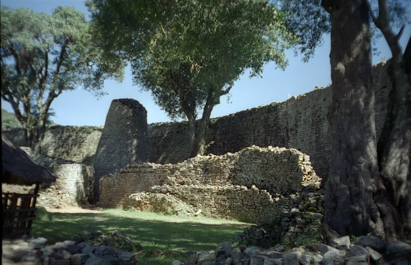
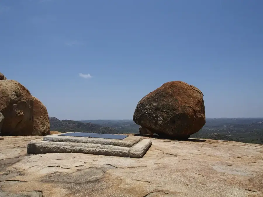
History & landmarks
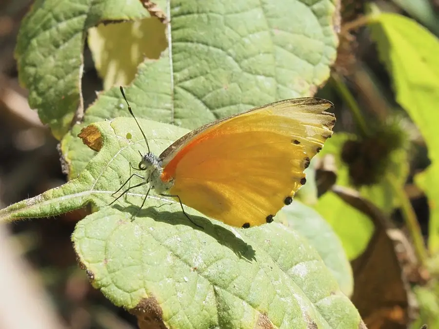
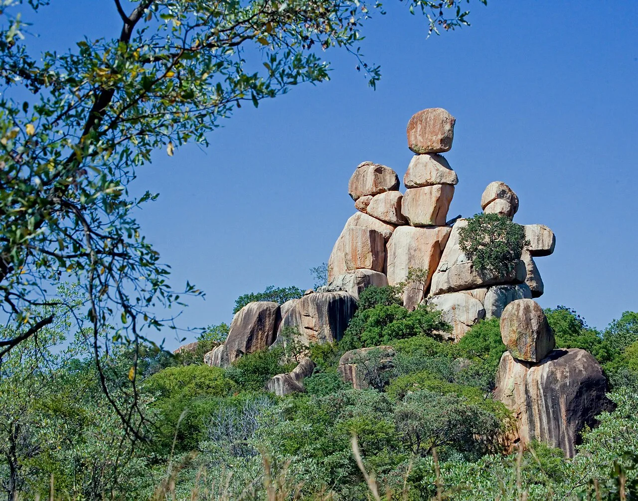
Nature

More places