Plizio Visual Lab
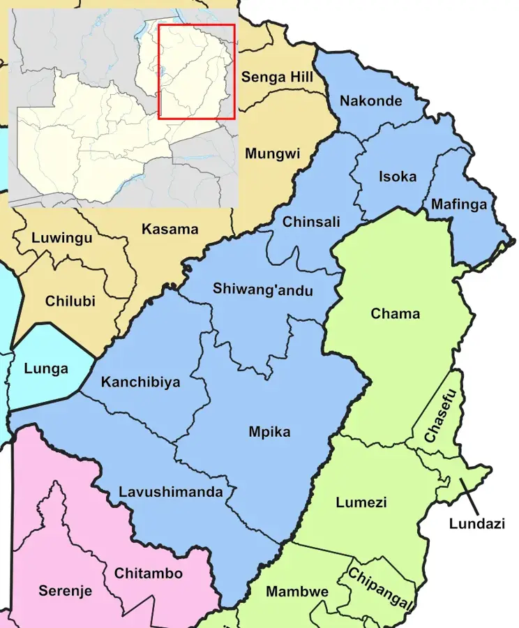
Chinsali
ℹ️Practical info — Chinsali
▾
🌤 Weather — 5 days
📍 Nearby
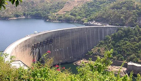
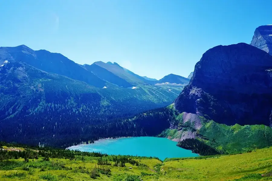
Sights nearby
💡 Tips
- Visit the historical sites connected to Zambia's independence during the dry season for easier travel.
- Public transport options are limited, so arrange a reliable taxi or driver in advance for out-of-town trips.
- Greeting locals with a warm handshake and a smile is culturally expected and highly appreciated.
- Bottled water is recommended for drinking, especially if you have a sensitive stomach.
🍽 Food
The staple maize porridge served with small, dried fish; available at most local diners.
Often called 'African Polony', this is a vegetarian dish made from wild orchid tubers, found in local markets.
Look for street stalls selling seasonal mangoes and bananas, which are cheap and delicious.
🛍 Shopping · 🧘 Quiet spots
The heart of local commerce; great for buying fresh produce, dried beans, and daily necessities.
Look for colourful chitenge cloth at small tailor shops and haberdasheries around the town centre.
A historic and peaceful mission site slightly out of town, great for quiet reflection.
Take a walk just past the outskirts of town to enjoy the serene miombo woodlands.
Water temperature…
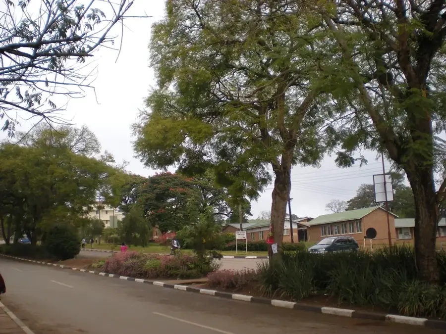
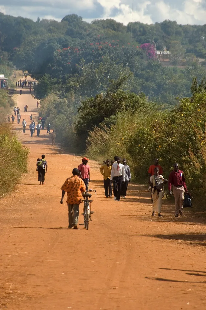
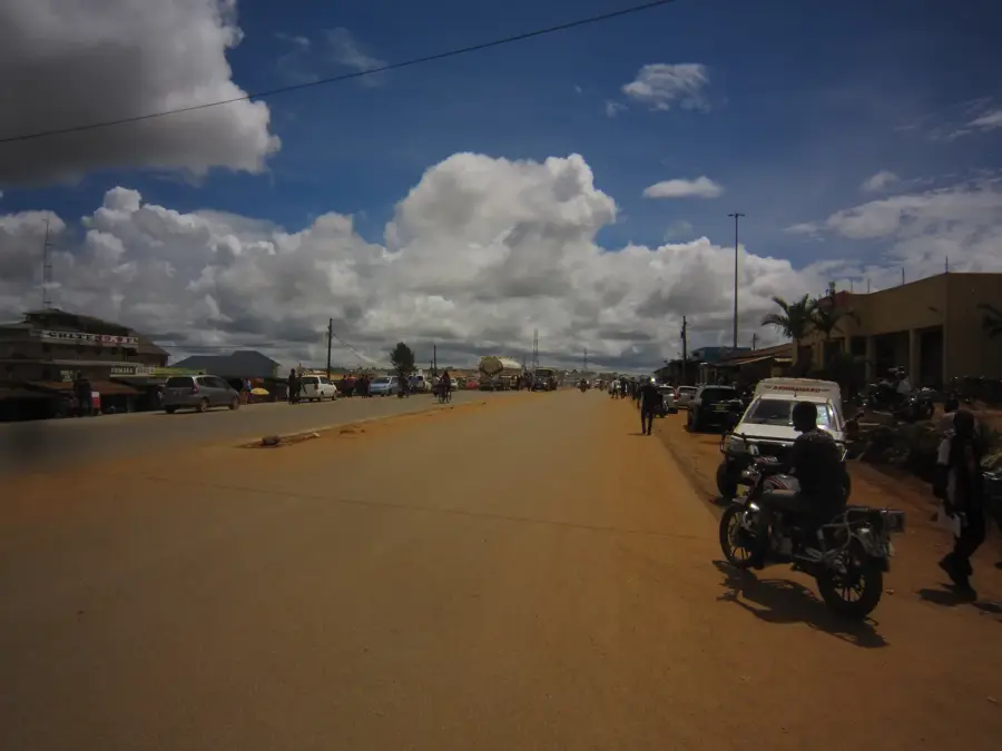
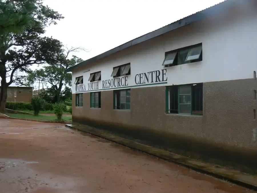
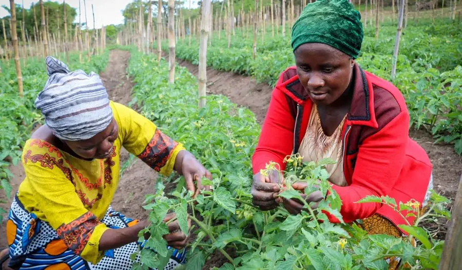
Chinsali serves as the administrative capital of Muchinga Province in Zambia and holds immense historical significance as a political hub. The town is famously the birthplace of several national heroes, including Kenneth Kaunda, Zambia's first president, and Simon Kapwepwe, a pivotal leader in the struggle for independence. Geographically, it is situated on a high plateau at an elevation of approximately 1,300 meters, positioned between the drainage basins of the Luangwa and Chambeshi rivers. The local economy is predominantly agricultural, focusing on the production of maize, beans, and millet, while also serving as a central point for government services. As a provincial headquarters, Chinsali has seen significant infrastructure growth, hosting various regional administrative offices and educational institutions. The cultural fabric of the town is shaped by the Bemba-speaking people, whose traditions and language remain integral to the community. Modern Chinsali continues to develop its urban facilities to support its growing role as a vital regional gateway in northern Zambia.
- Location: Zambia
- Nearby: Isoka (71 km)
- Population: ~38.805 (2026)
Best time to visit & climate
The most pleasant time to visit is May, Aug, Sep.
| Jan | Feb | Mar | Apr | May | Jun | Jul | Aug | Sep | Oct | Nov | Dec | |
|---|---|---|---|---|---|---|---|---|---|---|---|---|
| Avg °C | 21 | 21 | 21 | 21 | 19 | 17 | 17 | 20 | 23 | 26 | 25 | 22 |
| Rain mm | 248 | 187 | 162 | 45 | 6 | 2 | 1 | 1 | 2 | 15 | 101 | 226 |
Geography
Facts
- Designated as Muchinga Province capital in 2011
- Birthplace of first president Kenneth Kaunda
- Average elevation of 1,300 meters above sea level
- Distance from Lusaka is approximately 820 km
- Home to the Lubwa Mission founded in 1905
- Key transit point along the Great North Road
Explore nearby
Notable places around
Route planner — Car & Motorhome
Where do you start? We build the route here, with stops and country notes along the way.
© OpenStreetMap contributors · OpenRouteService
Frequently asked questions
How long for Chinsali?
Best time to visit?
How to reach Chinsali?
What to eat in Chinsali?
Family-friendly?
Chinsali: where is it located?
Chinsali: when is the best time to visit?
Chinsali: why is it worth visiting?

Nearby cities

History & landmarks
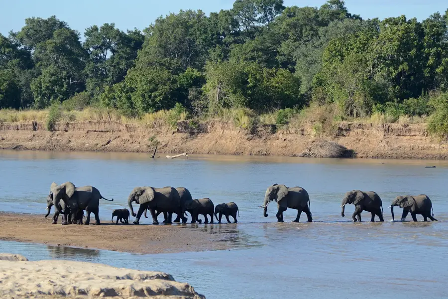
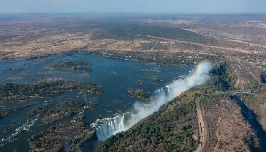
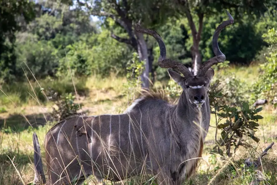
Nature
More places