Plizio Visual Lab
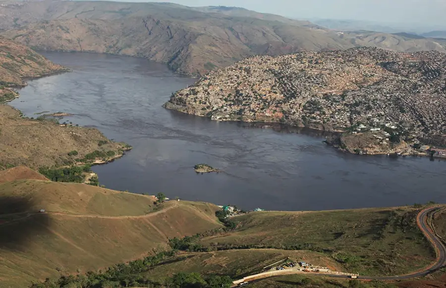
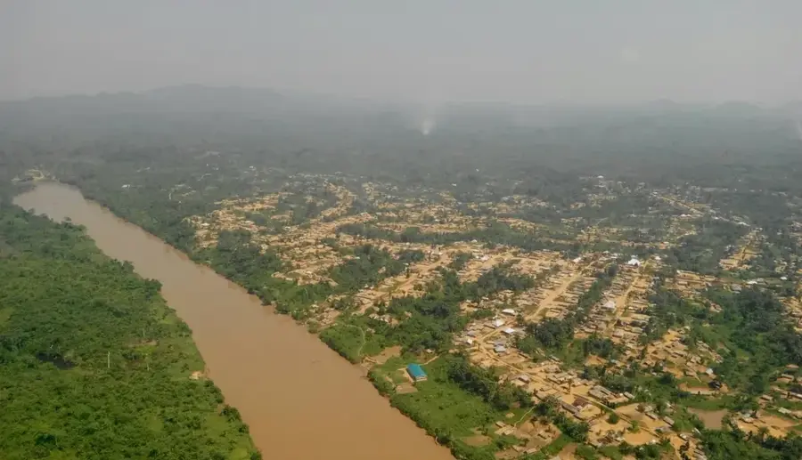
Luapula River
Weather…
Water temperature…
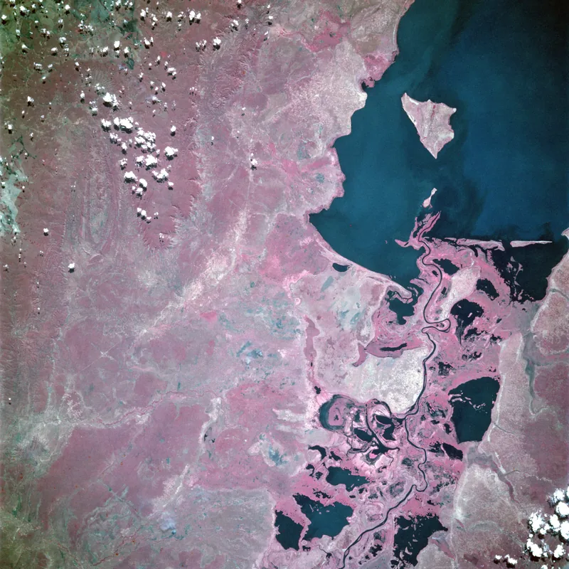
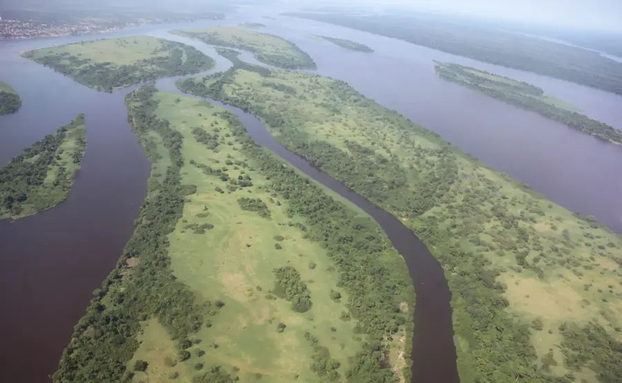
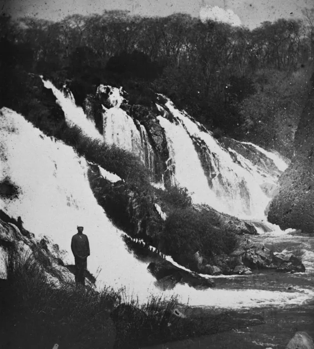
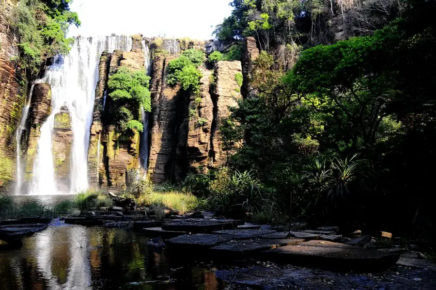
The Luapula River is a significant part of the Congo River system and forms a long stretch of the border between Zambia and the Democratic Republic of the Congo. It originates in the Bangweulu basin and flows south before curving north in a grand arc, eventually emptying into Lake Mweru. Geographically, the river is renowned for its extensive marshes and floodplains, which serve as a haven for waterfowl and fish. The region is of great economic importance, as fishing in the Luapula is the primary livelihood for thousands of people in both bordering nations. Historically, the river marked a key boundary during the colonial era between British Northern Rhodesia and the Belgian Congo. The Luapula is also known for its impressive rapids, such as the Mambilima Falls, which offer potential for hydroelectric power. Despite past political tensions, the river remains a unifying element for trade and cultural exchange between residents of both banks.
Best time to visit & climate
The most pleasant time to visit is May–Jul.
| Jan | Feb | Mar | Apr | May | Jun | Jul | Aug | Sep | Oct | Nov | Dec | |
|---|---|---|---|---|---|---|---|---|---|---|---|---|
| Avg °C | 23 | 23 | 23 | 23 | 22 | 20 | 21 | 23 | 27 | 28 | 26 | 23 |
| Rain mm | 236 | 171 | 180 | 71 | 5 | 1 | 1 | 2 | 5 | 36 | 159 | 256 |
📋 Practical info
Geography
Facts
- The Luapula River has a total length of approximately 560 kilometers.
- It connects the Bangweulu Swamps with Lake Mweru.
- The river forms the border between Zambia and Haut-Katanga province.
- The Mambilima Falls consist of a series of rapids spanning over 5 km.
- The Chembe Bridge spans the river, connecting both countries.
- Thousands of tons of fish are harvested annually from the Luapula River.
Explore nearby
Notable places around
Route planner — Car & Motorhome
Where do you start? We build the route here, with stops and country notes along the way.
© OpenStreetMap contributors · OpenRouteService
Sights nearby
Frequently asked questions
What border does the Luapula form?
Where does the river flow?
Are there waterfalls?
How important is fishing?
Is the river navigable?
Luapula River: where is it located?
Luapula River: when is the best time to visit?
Luapula River: why is it worth visiting?

Nature
More places