Plizio Visual Lab
Ternopil Upland
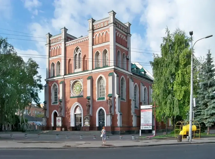
The Ternopil Upland is an extensive plateau in western Ukraine, comprising the central part of the Podillian Upland. It features a rolling, undulating landscape with average elevations between 300 and 400 meters above sea level. Geologically, the region is built upon thick layers of Miocene limestone and gypsum, topped with fertile loess deposits. This composition has led to the development of remarkable karst systems, including some of the world's longest gypsum caves, such as Optymistychna Cave. The upland is dissected by deep, canyon-like river valleys carved by tributaries of the Dniester, including the Seret and Strypa rivers. The prevailing black earth (chernozem) soils are exceptionally fertile, making the upland a primary zone for the production of grain, sugar beets, and sunflower seeds. Historically, the area was a key territory within the Kingdom of Galicia, Volhynia and later the Austrian Empire. Today, the city of Ternopil serves as the upland's regional hub, renowned for its educational institutions and historical landmarks.
- Location: Ukraine
- Top sights: Ivan Franko · Garden Square on V. Chornovola Street · Art galery
- Nearby: Terebovlia (29 km)
Best time to visit & climate
The most pleasant time to visit is Jun–Aug.
| Jan | Feb | Mar | Apr | May | Jun | Jul | Aug | Sep | Oct | Nov | Dec | |
|---|---|---|---|---|---|---|---|---|---|---|---|---|
| Avg °C | -5 | -3 | 2 | 8 | 14 | 18 | 20 | 20 | 14 | 8 | 3 | -3 |
| Rain mm | 37 | 36 | 47 | 45 | 80 | 96 | 90 | 64 | 55 | 48 | 39 | 38 |
📋 Practical info
Geography
Facts
- The highest point of the Ternopil Upland is 443 meters above sea level.
- The region contains Optymistychna, the world's longest gypsum cave system.
- Gypsum deposits here reach a thickness of more than 20 meters.
- The upland was formed as part of the Volyn-Podillya tectonic plate.
- Average January temperatures range from -4.5°C to -5.5°C.
- The region is a major producer of malt and brewing barley in Ukraine.
Explore nearby
Notable places around
Route planner — Car & Motorhome
Where do you start? We build the route here, with stops and country notes along the way.
© OpenStreetMap contributors · OpenRouteService
Sights in the town Ternopil Upland (4)
Garden Square on V. Chornovola Street
Protected garden square (0.5 ha), laid out in 1957, local landscape monument.
Art galery🏛 museum
Art gallery in Ternopil featuring temporary exhibitions.
T. Shevchenko Garden Square
Protected garden square (1 ha), laid out in 1957, local landscape monument.
Sights nearby
Frequently asked questions
Where is the Ternopil Upland located?
What is the typical landscape?
Which caves are known?
What is grown here?
Which city is the center?
Ternopil Upland: where is it located?
Ternopil Upland: what is there to see?
Ternopil Upland: when is the best time to visit?
Ternopil Upland: why is it worth visiting?

Nearby cities