Plizio Visual Lab
Pip Ivan (Chornohora)

Pip Ivan Chornohora, standing at an elevation of 2022 meters, is one of the highest peaks in the Ukrainian Carpathian Mountains within the Chornohora range. The mountain is renowned for the stone ruins of the 'Biały Słoń' (White Elephant) observatory, which was constructed by Poland between 1936 and 1938. At the time of its completion, it was the highest inhabited building in the Polish Republic, serving both astronomical and meteorological purposes. The facility was abandoned shortly after the start of World War II and remained derelict for decades, earning its nickname from the way snow encrusts the structure in winter. In recent years, a joint Ukrainian-Polish restoration effort has revitalized the site, which now houses a year-round mountain rescue post and scientific equipment. The summit once served as a historical border point between Poland, Czechoslovakia, and Romania during the interwar period.
- Location: Ukraine
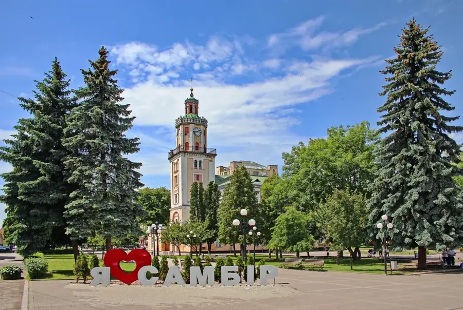
- Top sights: Pip Ivan Chornohirskyi · Smotrych · Shuryn
- Nearby: Verkhovyna (18 km)
Best time to visit & climate
The most pleasant time to visit is Jun–Aug.
| Jan | Feb | Mar | Apr | May | Jun | Jul | Aug | Sep | Oct | Nov | Dec | |
|---|---|---|---|---|---|---|---|---|---|---|---|---|
| Avg °C | -7 | -5 | -1 | 6 | 11 | 15 | 17 | 17 | 12 | 6 | 1 | -4 |
| Rain mm | 51 | 51 | 65 | 66 | 114 | 125 | 120 | 80 | 76 | 69 | 56 | 55 |
📋 Practical info
Geography
Facts
- The peak reaches a height of 2022 meters above sea level.
- The White Elephant observatory was officially opened on July 29, 1938.
- The stone walls of the structure vary from 1 to 1.5 meters in thickness.
- Approximately 800 tons of construction materials were hauled to the summit.
- It is the third-highest mountain in Ukraine after Hoverla and Brebeneskul.
- The building now serves as a high-altitude mountain rescue station.
Explore nearby
Notable places around
Route planner — Car & Motorhome
Where do you start? We build the route here, with stops and country notes along the way.
© OpenStreetMap contributors · OpenRouteService
Sights in the town Pip Ivan (Chornohora) (4)
Sights nearby
Frequently asked questions
What is the 'White Elephant' on Pip Ivan?
How high is Pip Ivan mountain?
Is the climb harder than Hoverla?
Is there mountain rescue available?
Can you stay overnight there?
Pip Ivan (Chornohora): where is it located?
Pip Ivan (Chornohora): what is there to see?
Pip Ivan (Chornohora): when is the best time to visit?
Pip Ivan (Chornohora): why is it worth visiting?

Nearby cities