Plizio Visual Lab
Brebeneskul
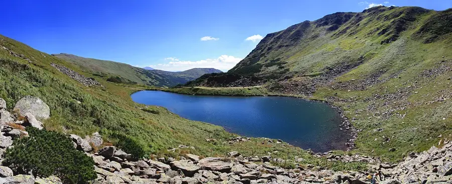
Mount Brebeneskul is the second highest peak in Ukraine, standing at an elevation of 2,035 meters within the Chornohora range of the Carpathians. It is situated on the main ridge of the mountains, acting as a watershed between the Prut and Tisa river basins. The mountain's pyramid-like silhouette was shaped by glacial processes, evidenced by the large stone runs and cirques on its slopes. Located in a glacial bowl directly below the summit lies Lake Brebeneskul, which at 1,801 meters is the highest alpine lake in Ukraine. The peak is protected within the Carpathian Biosphere Reserve and hosts rare subalpine plant species. It is a vital milestone for hikers undertaking the legendary high-altitude trek across the six Ukrainian peaks that exceed 2,000 meters.
- Location: Ukraine
- Top sights: Menchul · Brebeneskul · Dzembronia
- Nearby: Verkhovyna (19 km)
Best time to visit & climate
The most pleasant time to visit is Jun–Aug.
| Jan | Feb | Mar | Apr | May | Jun | Jul | Aug | Sep | Oct | Nov | Dec | |
|---|---|---|---|---|---|---|---|---|---|---|---|---|
| Avg °C | -7 | -5 | -1 | 6 | 11 | 15 | 17 | 17 | 12 | 6 | 1 | -4 |
| Rain mm | 51 | 51 | 65 | 66 | 114 | 125 | 120 | 80 | 76 | 69 | 56 | 55 |
📋 Practical info
Geography
Facts
- Brebeneskul stands at 2,035 meters, the 2nd highest point in Ukraine.
- The mountain is located on the central part of the Chornohora ridge.
- Lake Brebeneskul, the highest in Ukraine at 1,801m, lies in its cirque.
- The peak remains snow-covered for up to seven months of the year.
- It is composed of flysch deposits, typical of the Outer Carpathians.
- The summit is a key part of the Carpathian Biosphere Reserve.
Explore nearby
Notable places around
Route planner — Car & Motorhome
Where do you start? We build the route here, with stops and country notes along the way.
© OpenStreetMap contributors · OpenRouteService
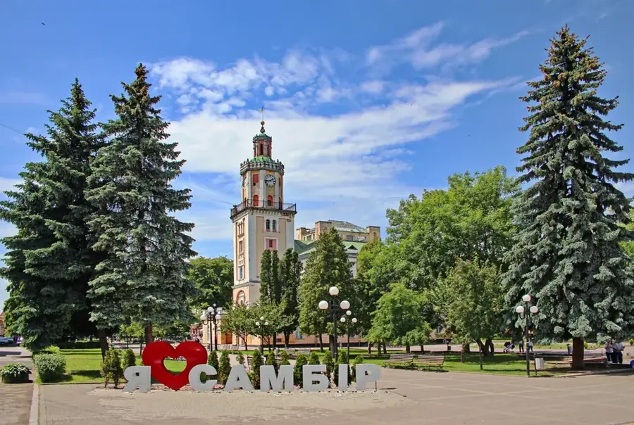
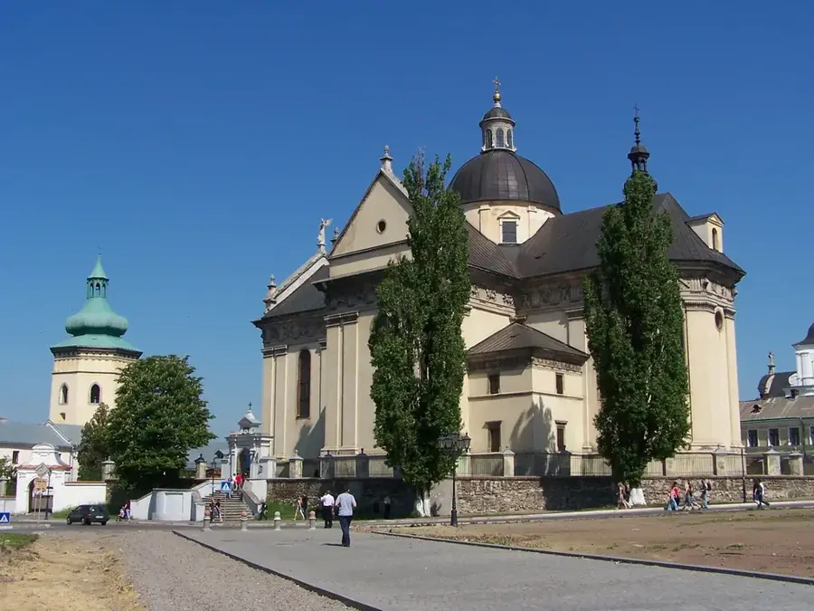
Sights in the town Brebeneskul (3)
Sights nearby
Frequently asked questions
How high is Mount Brebeneskul?
In which massif is it located?
Is there a lake there?
How difficult is the ascent?
What view does the peak offer?
Brebeneskul: where is it located?
Brebeneskul: what is there to see?
Brebeneskul: when is the best time to visit?
Brebeneskul: why is it worth visiting?

Nearby cities