Plizio Visual Lab
Mount Tytov

Mount Tytov (also known as Tytiv) is a prominent summit in the Ukrainian Carpathians, reaching an elevation of approximately 1034 meters. It is situated in the transition zone between the Skole Beskids and the Gorgany mountain ranges, contributing to the rugged terrain of Western Ukraine. The mountain's structural foundation is composed of Paleogene flysch, a sedimentary sequence that defines much of the Carpathian arc. Its slopes are blanketed by dense forests of Norway spruce and European beech, typical of the regional montane vegetation zone. A distinctive geological feature of this peak is the presence of extensive stone runs or scree slopes, locally referred to as 'gorgani,' created by physical weathering of the sandstone bedrock. Historically, the ridges around Mount Tytov were strategic positions during the World Wars, with remnants of trenches still discoverable today. Currently, the mountain serves as a peaceful retreat for ecotourism, offering scenic hiking paths and panoramic views of the forested highlands of the Ivano-Frankivsk region.
- Location: Ukraine
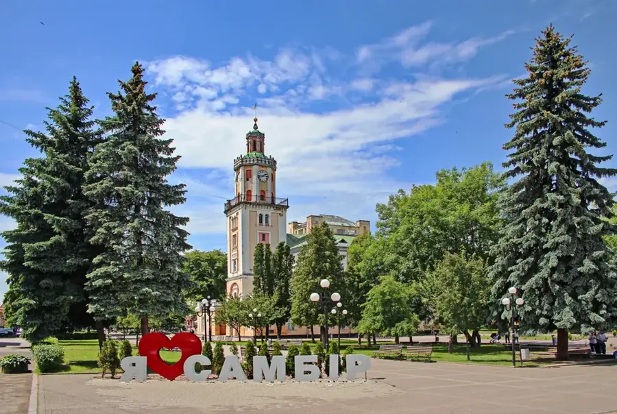
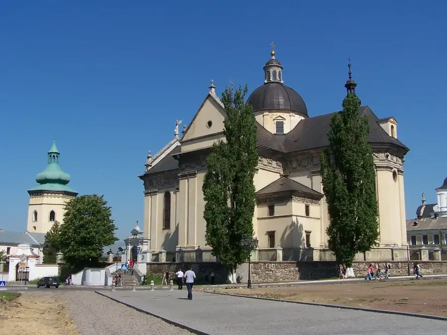
- Top sights: Reheska Velyka · Munchelyk
- Nearby: Verkhovyna (25 km)
Best time to visit & climate
The most pleasant time to visit is Jun–Aug.
| Jan | Feb | Mar | Apr | May | Jun | Jul | Aug | Sep | Oct | Nov | Dec | |
|---|---|---|---|---|---|---|---|---|---|---|---|---|
| Avg °C | -7 | -5 | -1 | 6 | 11 | 15 | 17 | 17 | 12 | 6 | 1 | -4 |
| Rain mm | 51 | 51 | 65 | 66 | 114 | 125 | 120 | 80 | 76 | 69 | 56 | 55 |
📋 Practical info
Geography
Facts
- Mount Tytov reaches a peak elevation of 1034 meters.
- The mountain is primarily composed of sandstone and shale layers.
- The term 'Gorgany' for the nearby range refers to the stone scree found here.
- Average snow cover on the mountain lasts for about 4-5 months annually.
- It is located within the administrative boundaries of Western Ukraine.
- The slopes host a variety of protected alpine and sub-alpine flora.
Explore nearby
Notable places around
Route planner — Car & Motorhome
Where do you start? We build the route here, with stops and country notes along the way.
© OpenStreetMap contributors · OpenRouteService
Sights in the town Mount Tytov (2)
Sights nearby
Frequently asked questions
How high is Mount Tytov?
Is it suitable for hiking?
Are there rare plants there?
What is the weather like on the mountain?
Where is the best place to reach it from?
Mount Tytov: where is it located?
Mount Tytov: what is there to see?
Mount Tytov: when is the best time to visit?
Mount Tytov: why is it worth visiting?

Nearby cities